How we make this list: we compare pricing pages, product documentation and public user reviews. Rankite is independent; if a vendor ever pays for a featured spot, that listing is clearly labeled Partner.
Key takeaways
- RealityScan (formerly RealityCapture) is free for anyone earning under $1M a year, which makes it the obvious starting point for game, VFX and indie creators.
- Agisoft Metashape remains the research favorite thanks to one-time pricing and precise control over every reconstruction step.
- Phone-based scanning has grown up: Polycam now handles floor plans, measurements and team libraries for construction crews.
- Drone and survey teams should compare Pix4Dmapper and DroneDeploy side by side, since their pricing and cloud workflows differ sharply.
- Meshroom and Regard3D are genuinely capable free photogrammetry software for learning and small projects, with no paywall.
Quick comparison
| Tool | Best for | Starting price | Free plan |
|---|
 RealityScan RealityScan | game devs and VFX teams in the Epic ecosystem | Free for under $1M in annual revenue; paid seats above that threshold | Yes |
 Agisoft Metashape Agisoft Metashape | surveyors and researchers who want one-time pricing | See website | Free trial |
 3DF Zephyr 3DF Zephyr | freelancers who want a perpetual license option | See website | Free trial |
 Pix4Dmapper Pix4Dmapper | drone mapping and survey professionals | See website | Free trial |
 Polycam Polycam | phone-first 3D scanning and site documentation | $150/year Basic (billed yearly) | Yes |
 DroneDeploy DroneDeploy | construction and energy site documentation at scale | $4,188/year individual Flight and Analysis plan | Free trial |
 Autodesk ReCap Pro Autodesk ReCap Pro | AEC teams with Revit and BIM workflows | See website | Free trial |
 Meshroom Meshroom | hobbyists and researchers on a zero budget | Free (open source) | Yes |
 Regard3D Regard3D | beginners who want free open-source reconstruction | Free (open source) | Yes |
Is your product missing or out of date?
We review this list regularly. Vendors can request a listing, send updated pricing or ask about featured placement.
Photogrammetry promises a simple deal: take photos, get a 3D model. In practice, the tools split into two camps, and picking the wrong camp costs you weeks. One camp serves surveyors, engineers and VFX studios who need millimeter accuracy, control points and audit-ready outputs. The other serves creators and field teams who need a usable mesh fast, ideally from a phone. This list covers both, with honest pricing notes so you know what each tool really costs before you invest time learning it. Free photogrammetry software options are included where they genuinely compete.
Starting priceFree for under $1M in annual revenue; paid seats above that threshold
Free planYes
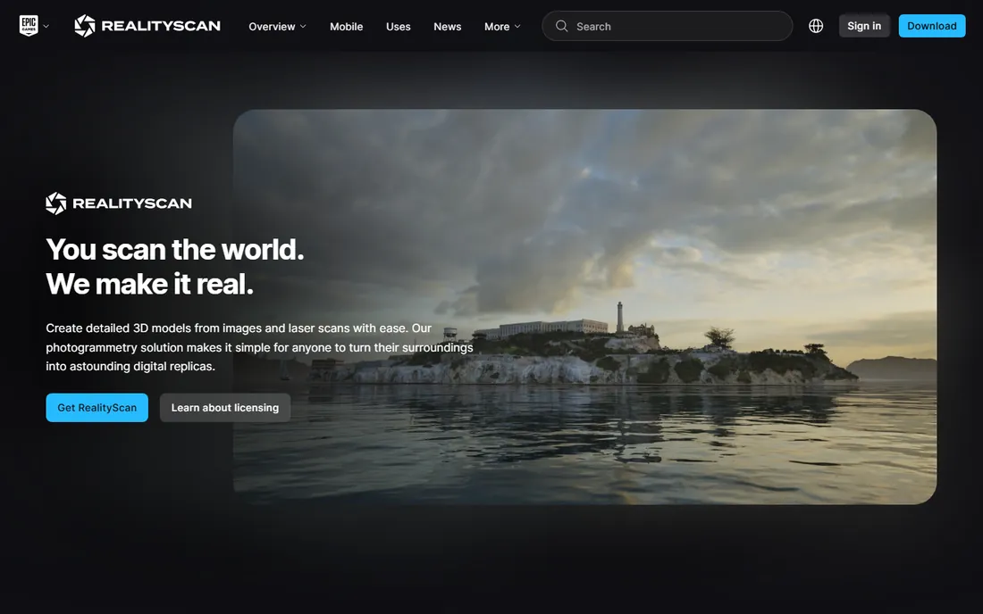
Epic rebranded RealityCapture as RealityScan in 2026 and kept the core promise intact. The desktop app is one of the fastest reconstruction engines you can get, and the licensing change made it free for students, educators and any business under $1M in annual revenue. That is a remarkable deal for a tool of this caliber. The mobile companion app lets you capture on a phone, and the 2.0 release added AI masking, better alignment on featureless surfaces and aerial LiDAR support.
The honest catch is the pipeline lock-in. You install through the Epic Games Launcher, and larger studios have to buy yearly seats under Epic's terms. If your studio already builds in Unreal Engine, that is a non-issue. If you need outputs for a CAD or survey workflow, make sure your export formats are covered before you commit, since RealityScan optimizes for mesh quality over survey deliverables.
What we like- Extremely fast reconstruction
- Free for individuals and small businesses
- Unreal Engine integration
Watch out for- Requires Epic Games Launcher on desktop
- Paid seat pricing only kicks in above $1M revenue with custom terms
#2
Agisoft Metashape
Best for: surveyors and researchers who want one-time pricing
Visit agisoft.com
Starting priceSee website
Free planFree trial
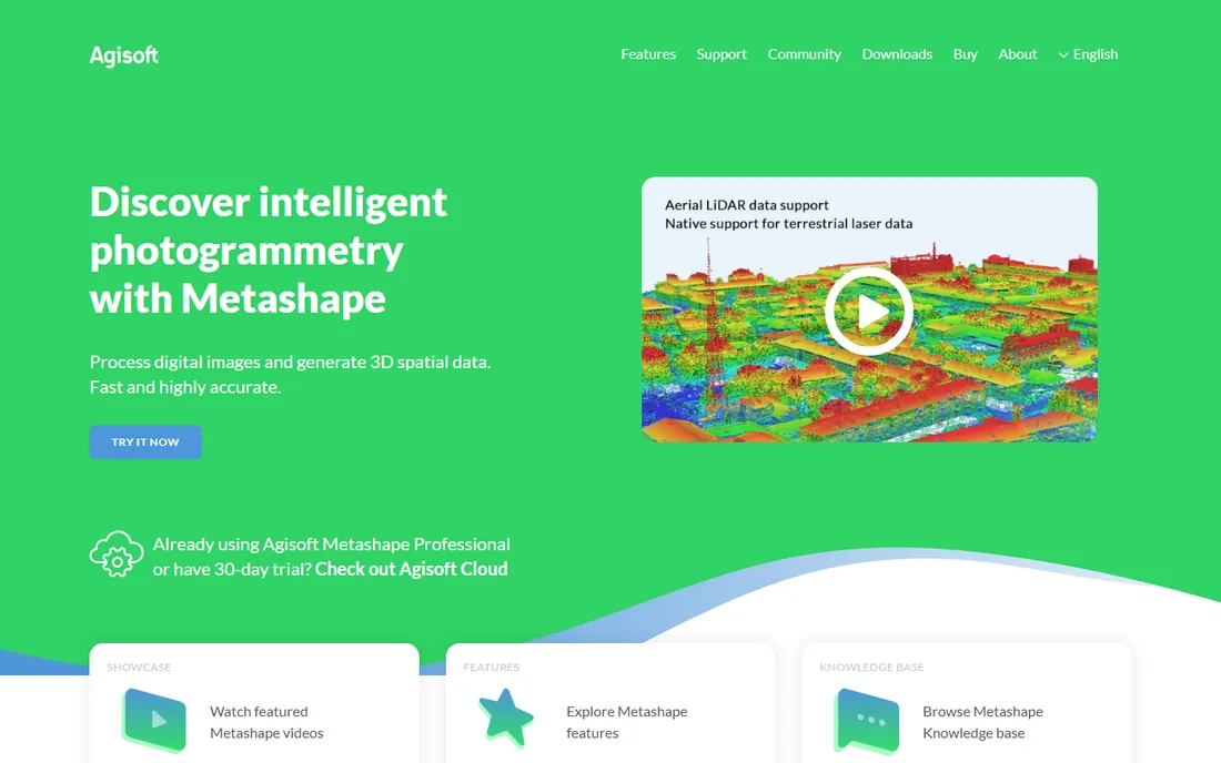
Metashape is the workhorse of photogrammetry research, and it shows up in more published papers than any other commercial tool. The appeal is control: you can tune alignment parameters, dense cloud generation, mesh decimation and texture blending at every stage. It handles multispectral imagery, supports ground control points and network processing for splitting big jobs across machines. The Standard and Professional editions are sold as perpetual licenses, which feels rare in a market that has moved to subscriptions.
The interface looks like it belongs to 2014, because it mostly does. New users should expect a learning curve, and the documentation reads like an engineering manual. Processing large datasets locally demands a strong workstation, since there is no cloud option to fall back on. For surveyors who need defensible, repeatable results and hate subscriptions, those tradeoffs are easy to accept.
What we like- One-time perpetual licenses
- Granular control over alignment and dense cloud
- Trusted by academic research
Watch out for- Dated interface
- No cloud processing tier built in
#3
3DF Zephyr
Best for: freelancers who want a perpetual license option
Visit 3dflow.net
Starting priceSee website
Free planFree trial
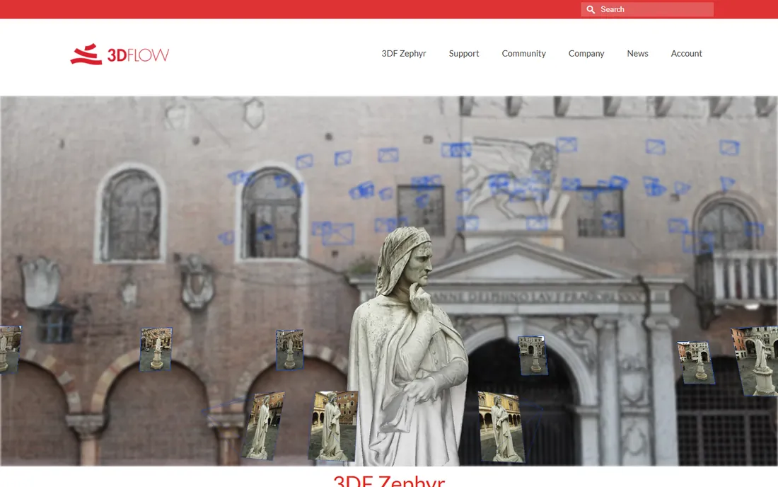
Zephyr sits in a sweet spot between pro tools and consumer apps. The developers build every algorithm in house, which gives the pipeline a consistent feel from photo import through mesh and texture. Version 9 added direct Gaussian splat generation, and the bundled 3DF Scarlet handles LiDAR registration, so you can fuse laser scans with photographs in one package. You can subscribe or buy a perpetual license, and a free 30-day trial is available on request.
The community is smaller than Agisoft's or Pix4D's, so finding answers to unusual problems takes more digging. The forum and Discord are active, but not at the scale of the bigger platforms. Where Zephyr wins is value: a single application that covers photos, drones and laser scanners without forcing you into an enterprise contract. Freelance 3D artists and small survey shops get a lot of capability per dollar here.
What we like- Choice of subscription or perpetual license
- Strong laser scan integration
- Gaussian splat generation
Watch out for- Smaller user community than the big names
- Tutorials skew toward the basics
#4
Pix4Dmapper
Best for: drone mapping and survey professionals
Visit pix4d.com
Starting priceSee website
Free planFree trial
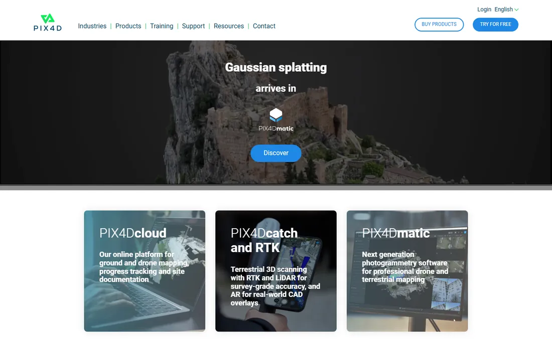
Pix4D built its reputation on drone mapping, and PIX4Dmapper is still the default answer for survey teams that need orthomosaics, digital surface models and contour lines from aerial imagery. The GCP workflow is well documented, accuracy reports are transparent, and the outputs slot directly into GIS and CAD tools. The broader PIX4D family covers related jobs, from PIX4Dmatic for large datasets to PIX4Dcatch for phone-based capture with RTK positioning.
The product lineup has grown into a maze. Mapper, matic, cloud, survey and fields each cover overlapping territory, and figuring out which combination your team needs requires a careful look at the product pages or a sales call. Pricing is firmly professional, aimed at firms that bill mapping work to clients. If your use case is drones and survey deliverables rather than 3D assets, this is the most proven option on the list.
What we like- Survey-grade accuracy with GCPs
- Orthomosaics, DSMs and contour outputs
- PIX4Dcatch for mobile capture
Watch out for- Modular product line is confusing
- Pricing sits at the pro end
#5
Polycam
Best for: phone-first 3D scanning and site documentation
Visit polycam.ai
Starting price$150/year Basic (billed yearly)
Free planYes
Polycam started as a phone app and grew into a serious documentation platform. The free plan lets you scan with up to 150 images per model and export GLTF files. Basic at $150 a year unlocks unlimited captures, 300 images per model and six mesh export formats. Business at $400 per user per year adds 2D and 3D floor plans, advanced measurement, point cloud exports and team libraries.
Construction teams and interior designers are the natural audience. Instant floor plans from a room scan, measurements from captures and shared team libraries make it a field documentation tool as much as a 3D tool. The honest weakness is capture quality ceilings: complex reflective or textureless surfaces still challenge phone-based photogrammetry, and heavy users will want the Business tier for its 2,000-image cap. For quick scans and documentation, nothing beats the convenience.
What we like- Excellent mobile capture with LiDAR
- 2D and 3D floor plans
- Strong measurement tools
Watch out for- Free plan caps images per capture at 150
- Advanced features need the Business tier
Starting price$4,188/year individual Flight and Analysis plan
Free planFree trial
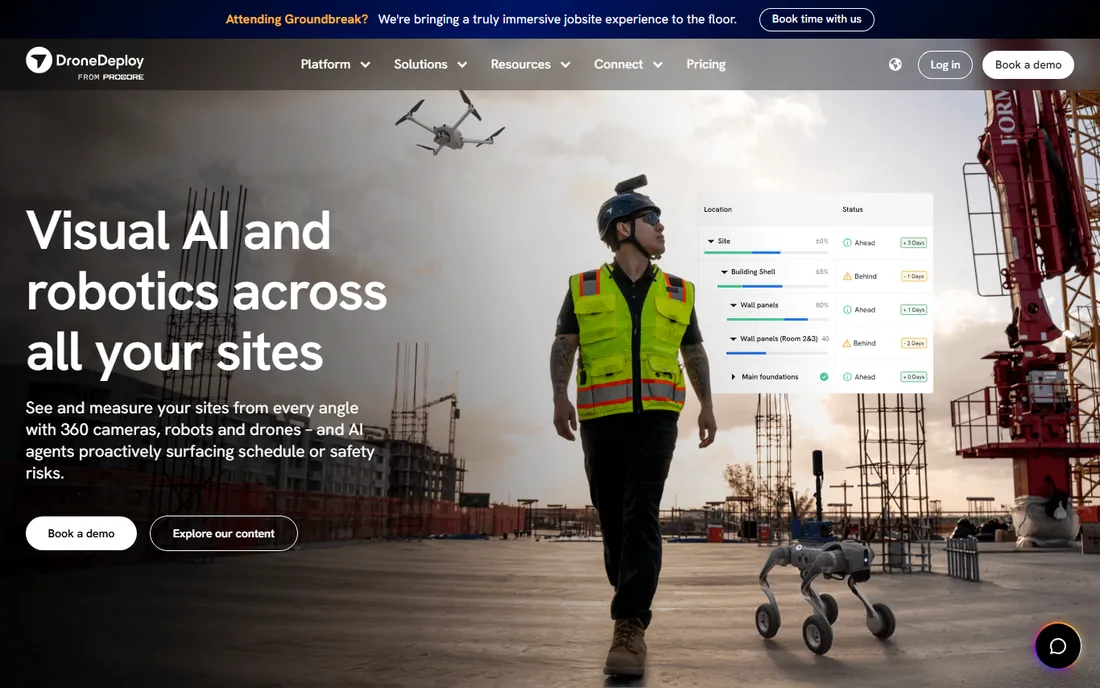
DroneDeploy has evolved from a drone mapping tool into a unified reality capture platform that handles drones, 360 cameras, robots and smartphones under one roof. The Flight and Analysis plan for individual pilots starts at $4,188 a year with up to 3,000 images per map, while teams get custom quotes on the Unified plan. A 14-day free trial is available with no credit card. Integrations with Procore, Autodesk BIM 360 and Esri make it a natural fit for construction workflows, and newer AI features generate progress reports and safety risk detection from capture data.
The pricing reflects the enterprise positioning. This is not a tool for casual scanning, and small teams should budget carefully since costs scale with seats and add-ons. Drone operations also bring their own overhead: hardware, pilot certification and flight planning. For large construction and energy firms that need a defensible, audited record of every site, DroneDeploy is one of the most complete platforms available.
What we like- Unified aerial and ground capture platform
- Strong Procore and Autodesk integrations
- AI progress reports
Watch out for- Enterprise pricing
- Individual plans still cost thousands per year
Starting priceSee website
Free planFree trial
ReCap Pro is the reality capture front end for the Autodesk ecosystem. It converts photographs and laser scans into point clouds and meshes, supports feature extraction like ADA ramps and linear features, and includes a Revit plugin for bringing complex mesh objects into BIM projects as families. Publishing to the Forma Industry Cloud lets teams manage and share capture data without shuttling files around.
The catch is the Autodesk tax. ReCap Pro makes the most sense for firms already paying for Autodesk products, especially the AEC Collection where it bundles with Civil 3D, Revit and InfraWorks. As a standalone purchase the subscription cost is harder to justify against cheaper alternatives. But if your workflow ends in Revit or Civil 3D, the native integration saves real time that third-party tools cannot match.
What we like- Scan-to-mesh and point cloud tools
- Revit plugin for mesh datasets
- Cloud-based collaboration
Watch out for- Sold through Autodesk subscription terms
- Best value inside the AEC Collection
Starting priceFree (open source)
Free planYes
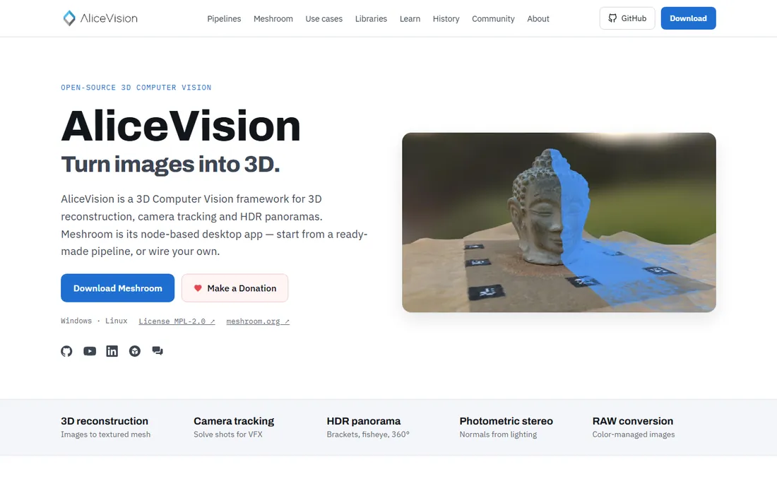
Meshroom, built on the AliceVision framework, is the best free photogrammetry software for anyone who wants to understand how reconstruction actually works. The node-based pipeline exposes every stage, from feature extraction through dense reconstruction to texturing, so you can see and tweak each step. It costs nothing, has no capture limits and produces genuinely good results from well-shot photo sets. Researchers and educators use it because the pipeline is transparent and the results are reproducible.
Speed is the honest problem. Without a powerful NVIDIA GPU, dense reconstruction can take hours on datasets that commercial tools chew through in minutes. The node graph looks daunting at first, though the default workflow runs fine with a few clicks. For hobbyists, students and anyone learning photogrammetry from first principles, Meshroom is the right place to start before spending money.
What we like- Completely free with no limits
- Node-based pipeline teaches the photogrammetry process
- Strong community
Watch out for- Slow on modest hardware
- Node graph is intimidating for beginners
#9
Regard3D
Best for: beginners who want free open-source reconstruction
Visit regard3d.org
Starting priceFree (open source)
Free planYes
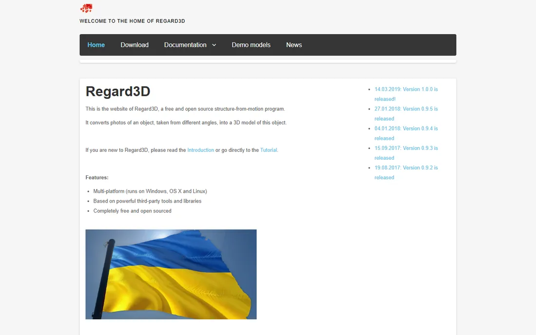
Regard3D is the gentler face of free photogrammetry. Where Meshroom shows you a node graph, Regard3D walks you through a linear pipeline: match photos, triangulate, densify, generate mesh and texture. It runs on all major desktop platforms, costs nothing and is genuinely approachable for a first 3D reconstruction project. The underlying libraries are solid, so results from clean photo sets can be surprisingly good.
The tradeoff is depth. Regard3D offers fewer tuning options than Meshroom or the commercial tools, and the project moves slowly, so new features and GPU acceleration lag behind. It is a teaching and hobby tool, not a production pipeline. For a first scan of a small object with a phone camera and daylight, it is one of the least intimidating ways to get a real 3D model.
What we like- Simple step-by-step interface
- Completely free and open source
- Runs on Windows, macOS and Linux
Watch out for- Fewer advanced controls than Meshroom
- Slower development pace
We compared tools against vendor pricing pages, product documentation, public reviews on G2 and Capterra, and practitioner discussions on Reddit and survey forums. Each tool had to exist as a purchasable or downloadable product in 2026, fit the photogrammetry category (photo-to-3D reconstruction, not general 3D modeling), and offer a clear pricing or licensing story we could verify. We weighted accuracy and deliverable options for survey tools, ease of capture for mobile tools, and licensing cost for open-source options.
What to check before you commit to photogrammetry software
Start with your deliverable, not the marketing. Surveyors need georeferencing, ground control points and accuracy reports, which points to Pix4Dmapper, Metashape or DroneDeploy. Construction documentation teams need measurements, floor plans and sharing, which points to Polycam or DroneDeploy. Buying a survey tool for a creative job (or the reverse) is the most common mistake in this category.
Check the true cost of your first year. A perpetual license looks cheap until you add the workstation it requires, while a subscription looks expensive until you realize it includes cloud processing and support. Polycam's $150 a year is genuinely cheap because the phone does the capturing. DroneDeploy's thousands per year make sense only if you are billing client projects against it. And the free tier of the best free photogrammetry software is not a trick: Meshroom, Regard3D and Polycam's free plans are all fully usable for learning and small jobs.
Test with your own photos before paying. Every serious tool here offers a free plan or trial, and reconstruction quality depends heavily on how you shoot: overlapping images, good light, matte surfaces. A weekend test with your own dataset tells you more than any review. Finally, check export compatibility with whatever sits downstream, whether that is Revit, Unreal Engine, Blender or a GIS tool, since a beautiful model you cannot open is worthless.
Where free photogrammetry software actually works
Free tools win in three situations. First, learning: Meshroom and Regard3D teach you the full pipeline for nothing, which makes you a smarter buyer later. Second, occasional projects: a one-off scan of a product prototype or a family heirloom does not need a $3,000 license. Third, tight-budget research: academic teams routinely publish work built on AliceVision and Meshroom.
Paid tools earn their price in three different situations. Survey and legal documentation need accuracy reports and support contracts that free tools cannot provide. High-volume production needs speed: what takes Meshroom all night takes RealityScan or Zephyr an hour. And team workflows need sharing, permissions and versioned deliverables, which is where Polycam Business and DroneDeploy justify their subscriptions. Match the tool to the stakes of the work.
Frequently asked questions
What is the best free photogrammetry software?
For learning and small projects, Meshroom and Regard3D are the strongest free options, both open source with no capture limits. Polycam's free plan is the easiest way to get a 3D scan from a phone, capped at 150 images per model. RealityScan is also free for individuals and businesses under $1M in annual revenue, which covers most independent creators.
How many photos do I need for a good 3D model?
Small objects typically need 40 to 100 overlapping photos shot in a full circle, with 60 to 80 percent overlap between consecutive shots. Larger scenes and buildings can need several hundred. The tools on this list scale from Polycam's 150-image free cap up to 2,000 images per capture on its Business tier and tens of thousands in desktop tools like Metashape and RealityScan.
Can I do photogrammetry with just a phone?
Yes. Polycam and RealityScan Mobile produce usable models from phone photos, and LiDAR-equipped phones improve results on featureless surfaces. For the best results, shoot in daylight, keep your distance consistent, and overlap every shot. Phone capture works well for objects, rooms and documentation; survey-grade mapping still needs drones or dedicated cameras.
What hardware do photogrammetry desktop tools need?
Reconstruction is GPU-heavy, and a modern NVIDIA card makes the biggest difference for dense reconstruction and meshing. 32GB of RAM is a comfortable minimum for medium datasets, and an SSD matters because projects can grow to tens of gigabytes. Meshroom and Regard3D run on modest hardware but slow down accordingly. If your machine is weak, cloud-based tools like DroneDeploy move the processing burden off your desk.
Is RealityScan really free?
RealityScan is free for students, educators and businesses with under $1M in annual gross revenue, with full desktop features. Businesses above that threshold buy yearly seats through Epic. The install requires the Epic Games Launcher on desktop, and the mobile app is a separate free download.
Do I need a drone for photogrammetry software?
No. Drones matter for aerial mapping and large sites, where Pix4Dmapper and DroneDeploy excel, but most of the tools here work with ordinary camera or phone photos. A drone adds mapping range and survey outputs, not basic 3D capability. Start with a camera or phone, and add a drone only when your projects need aerial coverage.
Sources we checked (12)
- https://realityscan.com/
- https://www.capturingreality.com/
- https://agisoft.com/
- https://www.3dflow.net
- https://pix4d.com/
- https://polycam.ai
- https://polycam.ai/pricing
- https://dronedeploy.com/
- https://dronedeploy.com/pricing
- https://alicevision.org
- https://regard3d.org
- https://www.autodesk.com/products/recap/overview
Is your product missing or out of date?
We review this list regularly. Vendors can request a listing, send updated pricing or ask about featured placement.

Shihab Mia · Founder, Rankite
Shihab has spent more than a decade helping SaaS and e-commerce brands grow through search. He writes Rankite's software buying guides from pricing pages, documentation and public user reviews. More about Shihab.