How we make this list: we compare pricing pages, product documentation and public user reviews. Rankite is independent; if a vendor ever pays for a featured spot, that listing is clearly labeled Partner.
Key takeaways
- Mapbox is the developer favorite for custom-styled interactive maps, with a genuinely useful free tier of 50,000 map loads per month.
- Google Maps Platform wins when you need places data, Street View or the map your users already know; the $200 monthly credit covers small projects.
- Esri ArcGIS Online and CARTO are the picks for serious spatial analysis, not just displaying pins on a map.
- Almost every platform here bills by usage, so read the free-tier limits carefully: a misconfigured autocomplete box can burn through a monthly allowance in days.
Quick comparison
| Tool | Best for | Starting price | Free plan |
|---|
 Mapbox Mapbox | custom-styled interactive maps | Pay-as-you-go (free tier: 50,000 map loads per month) | Yes |
 Esri ArcGIS Online Esri ArcGIS Online | enterprise GIS and spatial analysis | See website | Free trial |
 HERE HERE | fleet, automotive and logistics mapping | See website | Yes |
 Google Maps Platform Google Maps Platform | places data and familiar maps | Pay-as-you-go ($200 monthly credit) | Yes |
 MapTiler MapTiler | affordable developer-friendly basemaps | See website | Yes |
 CARTO CARTO | cloud-native spatial analytics | See website | Free trial (14 days) |
 Azure Maps Azure Maps | Microsoft-ecosystem geospatial APIs | $4.50 per 1,000 transactions | Yes |
 TomTom TomTom | traffic-aware routing and navigation | See website | Yes |
Is your product missing or out of date?
We review this list regularly. Vendors can request a listing, send updated pricing or ask about featured placement.
Starting pricePay-as-you-go (free tier: 50,000 map loads per month)
Free planYes
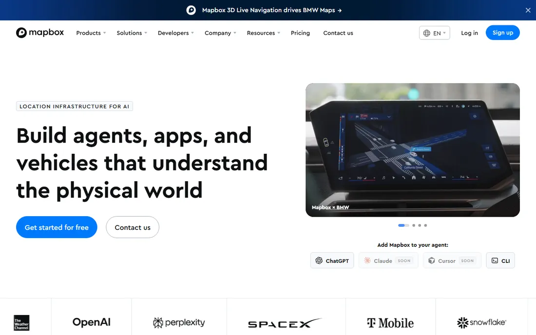
Mapbox is the default choice for developers who want maps that look like their brand, not like Google. Mapbox Studio lets you design every detail of the map style, and the GL JS library renders fast vector maps with 3D terrain. Navigation, directions, geocoding and static image APIs round out the platform, and the docs are among the best in the business.
The pricing model is pure pay-as-you-go with no subscriptions: 50,000 web map loads, 100,000 geocoding requests and 100,000 directions requests free every month, then per-thousand rates that drop with volume. That free tier covers most side projects and early products entirely. Watch two things: the Search Box API only gets 500 free sessions a month, so debounce your autocomplete inputs, and remember Mapbox has no places database, so "find coffee near me" features need a separate data source.
What we like- Beautiful customizable vector maps
- Generous free tier
- Strong GL JS and mobile SDKs
Watch out for- No Street View or built-in POI database
- Usage billing can surprise at scale
- Search API free tier is small
#2
Esri ArcGIS Online
Best for: enterprise GIS and spatial analysis
Visit esri.com
Starting priceSee website
Free planFree trial
Esri is the company behind ArcGIS, the platform that defines GIS for governments, utilities and large enterprises. ArcGIS Online brings that power to the cloud: web maps, story maps, field data collection, spatial analysis on massive datasets and thousands of authoritative data layers from the Living Atlas. If your use case involves real analysis, modeling or regulatory-grade data, nothing else here competes.
This is not a cheap embed-a-map tool. Pricing runs on user types and credits, with Creator roles historically around several hundred dollars per user per year, and serious deployments go through sales. A free trial and a free public account let you evaluate. For a store locator or delivery app, Esri is overkill; for infrastructure planning, environmental work or public-sector mapping, it is the standard for a reason.
What we like- The deepest GIS toolset on the market
- Huge ready-to-use data layers
- Trusted by governments worldwide
Watch out for- Pricing is opaque and enterprise-grade
- Overkill for simple embedded maps
- Learning curve is real
#3
HERE
Best for: fleet, automotive and logistics mapping
Visit here.com
Starting priceSee website
Free planYes
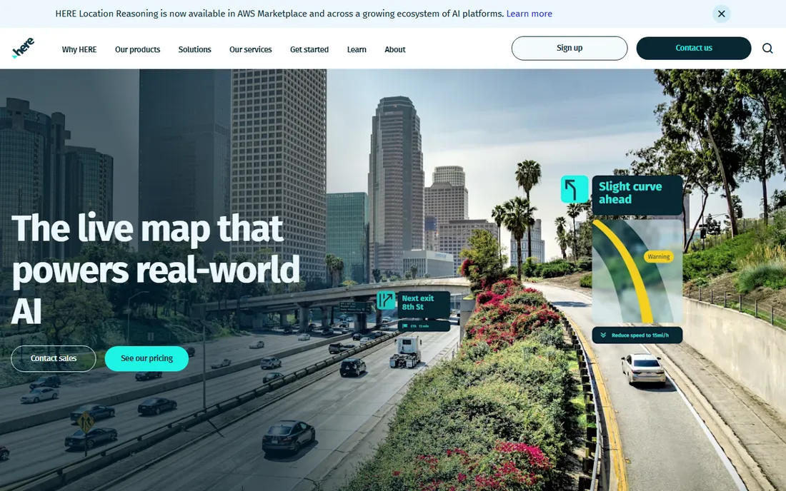
HERE, the former Nokia mapping business now owned by a consortium of automakers, quietly powers a huge share of in-car navigation and fleet systems. Its location platform offers maps, routing, geocoding, geofencing, traffic and intermodal routing APIs, with a freemium plan that includes 30,000 transactions per month and no credit card required.
The platform shines for logistics and automotive use cases: truck routing with vehicle dimensions, fleet telematics, EV range routing and high-quality traffic data. Paid plans scale with usage. The main friction is transparency: the pricing page asks you to start a conversation rather than showing a full rate card, and billing surprises have been a complaint in developer forums. If you run vehicles for a living, talk to them; if you need a simple website map, simpler options exist.
What we like- Automotive-grade map data
- Generous freemium tier
- Strong routing and fleet APIs
Watch out for- Pricing page lacks detail
- Developer community smaller than Mapbox or Google
- Brand recognition is low outside industry
Starting pricePay-as-you-go ($200 monthly credit)
Free planYes
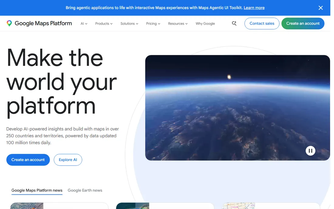
Google Maps Platform is the safe choice: the map everyone recognizes, the places database nobody matches, Street View, and rock-solid global coverage updated constantly. For store locators, delivery tracking, real estate search and anything where address accuracy and place discovery matter, it is the benchmark. New 3D photorealistic maps and Gemini-powered place summaries keep it ahead on wow factor.
Every account gets $200 in monthly credit, which covers roughly 28,000 map loads or tens of thousands of geocodes, so small projects genuinely pay nothing. But you must enable billing with a credit card, and the meter runs fast on expensive SKUs like Places Details. Set budget alerts and daily quotas before launch. Google is the most expensive platform at scale, but for many products the data quality justifies it.
What we like- Best places database and geocoding on earth
- Users instantly trust the interface
- Photorealistic 3D maps
Watch out for- Billing requires a credit card from day one
- Easy to overspend without quotas
- Places Details is expensive
Starting priceSee website
Free planYes
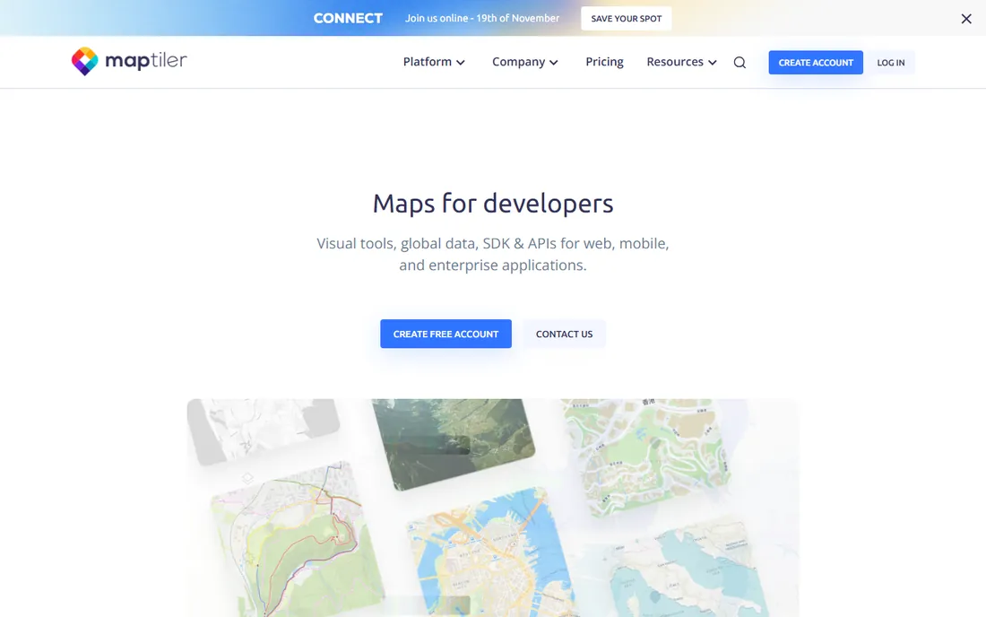
MapTiler is the indie developer's basemap provider: beautiful vector tiles, satellite imagery, terrain and geocoding through clean APIs that drop straight into MapLibre GL JS. The free plan includes 100,000 tile requests and 5,000 map sessions a month with no credit card, which is plenty for development and personal projects. Paid Flex plans add commercial use, higher quotas and support.
Two caveats matter. The free tier is contractually non-commercial, so a production business site needs at least the Flex plan. And MapTiler is a maps-and-tiles specialist: its routing API was still in beta in 2026, so apps needing turn-by-turn directions pair it with another provider. For custom-styled basemaps at a fraction of Mapbox or Google pricing, it is excellent value.
What we like- Generous free tier for developers
- Easy MapLibre-compatible integration
- Self-hosting options
Watch out for- Free tier is non-commercial
- Routing API still in beta
- Smaller feature set than giants
Starting priceSee website
Free planFree trial (14 days)
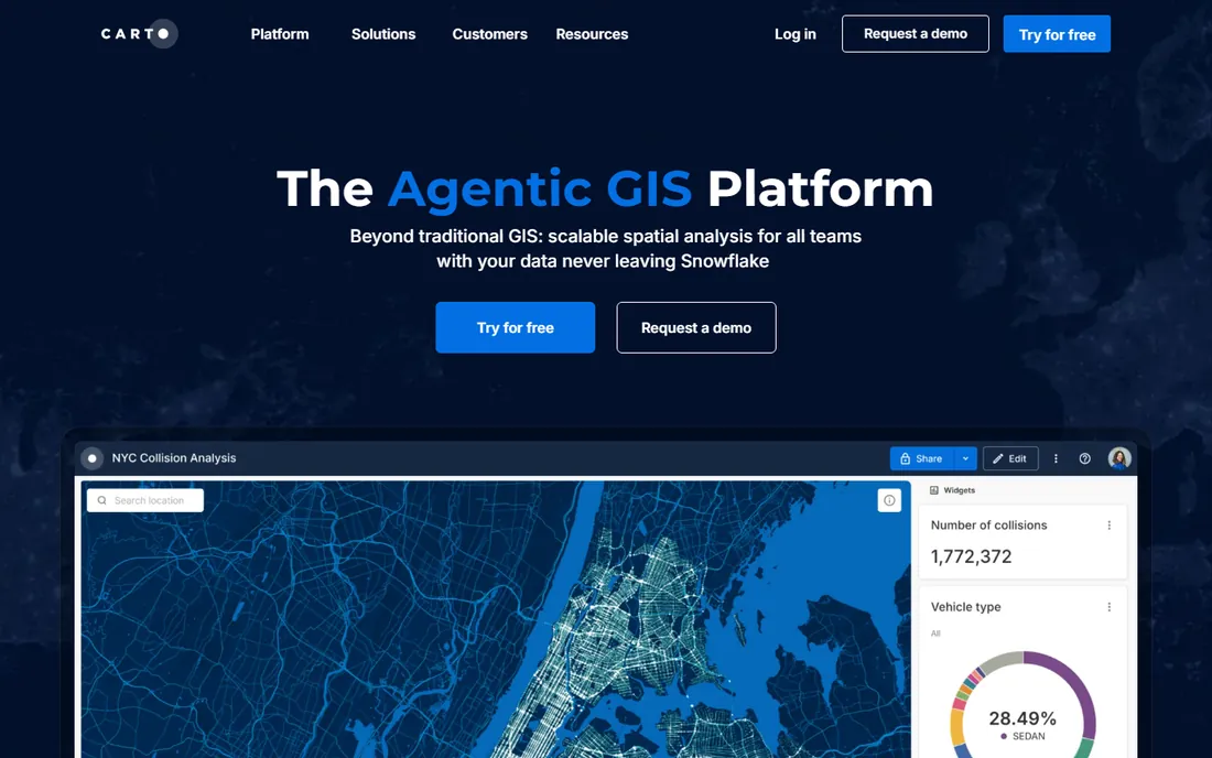
CARTO rebuilt GIS for the cloud era: instead of moving your data into its platform, it runs spatial analysis natively inside BigQuery, Snowflake, Databricks or Redshift. Data analysts get drag-and-drop workflows and 100+ analysis components, developers get APIs and deck.gl-powered visualizations that handle billions of points, and AI agents now let anyone query location data in plain language.
Pricing is quote-based, which tells you the target: mid-market and enterprise data teams, not weekend projects. A 14-day free trial lets you evaluate. If you need to embed a map with some markers, this is the wrong tool. If you need to analyze millions of customer locations against your warehouse data and serve the results as interactive maps, CARTO is purpose-built for exactly that.
What we like- Analytics runs inside your data warehouse
- Stunning large-scale visualizations
- AI agents for natural-language queries
Watch out for- No public pricing
- Overkill for simple maps
- Aimed at data teams, not solo developers
Starting price$4.50 per 1,000 transactions
Free planYes
Azure Maps is Microsoft's geospatial platform, and its killer feature is context: if your company already runs on Azure, adding maps means no new vendor, no new billing relationship and Entra ID authentication instead of API key juggling. The API surface covers the essentials: map tiles, geocoding, search, routing, traffic, weather, time zones, geofencing and indoor maps, with data sourced from TomTom and HERE.
Gen2 pricing includes a free monthly tier of transactions (for example, 5,000 free search transactions) and then charges $4.50 per 1,000 transactions in the first paid band, with volume discounts above that. Integration with Azure IoT Hub, Digital Twins and Power BI makes it the natural pick for asset tracking dashboards and enterprise reporting built on the Microsoft stack.
What we like- Bills through your Azure subscription
- Generous free monthly tier
- Deep Azure IoT and Power BI integration
Watch out for- Map data quality trails Google in some regions
- Gen1 to Gen2 migration caused confusion
- Portal UX is very Microsoft
Starting priceSee website
Free planYes
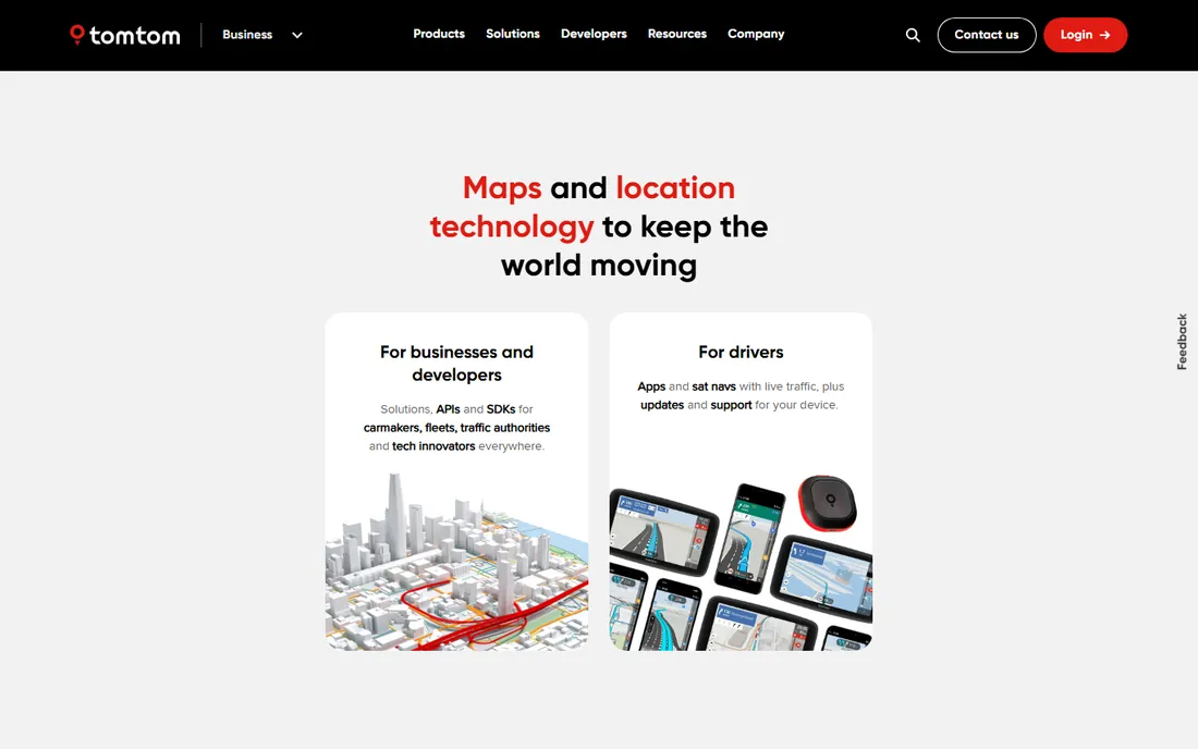
TomTom's developer platform deserves more attention than it gets. The free tier allows 2,500 API requests per day with no credit card, and map display itself is unlimited and free, which makes it one of the cheapest ways to put an interactive map on a site. The company's real strength is traffic: decades of probe data feed routing APIs, traffic flow, incident data and navigation SDKs that rival anyone's.
Paid pricing runs roughly €0.50 per 1,000 requests above the free tier, keeping it among the cheapest at scale. The trade-offs are ecosystem and aesthetics: fewer tutorials and community resources than Mapbox, and less map-styling freedom. For fleet tracking, delivery routing and traffic-aware ETAs, TomTom's data quality per dollar is hard to beat.
What we like- Excellent traffic and routing data
- 2,500 free requests per day
- Map display is free and unlimited
Watch out for- Developer brand is weaker than Mapbox
- Pricing details require digging
- Less design flexibility
Start with what the map must do. Simple embed with markers? MapTiler or TomTom keep costs near zero. Place search and address accuracy? Google Maps Platform. Custom brand-matched design? Mapbox. Vehicle routing and traffic? HERE or TomTom. Heavy spatial analysis on warehouse data? CARTO or ArcGIS Online. Already on Azure? Azure Maps.
Then model your usage against the free tiers before you write code. Mapbox's 50,000 monthly map loads, TomTom's 2,500 daily requests, HERE's 30,000 monthly transactions and Google's $200 credit each cover real products, but an unthrottled search-as-you-type box or a map that re-initializes on every page view can blow through any of them. Set quotas, cache aggressively and put budget alerts on every account.
Frequently asked questions
What is the cheapest maps API for a small website?
TomTom and MapTiler are the cheapest serious options: TomTom gives 2,500 free requests per day plus unlimited free map display, and MapTiler's free tier covers 100,000 monthly requests for non-commercial use. Google's $200 monthly credit also keeps small sites free, but requires a credit card on file.
Mapbox vs Google Maps Platform: which should I choose?
Choose Mapbox if map design and customization matter most and you can live without a places database. Choose Google if you need place search, geocoding accuracy, Street View or the interface your users already trust. Many products use both: Mapbox for display, Google for places.
Do I need a credit card for these free tiers?
Mapbox, MapTiler, HERE and TomTom all offer free tiers without a credit card. Google Maps Platform and Azure Maps require billing setup even to use their free allowances, which is worth knowing before you hand the setup to a client.
What is the difference between a mapping platform and GIS software?
Mapping platforms (Mapbox, Google, TomTom) help you display maps and answer location questions inside your product. GIS software (ArcGIS, CARTO) helps you analyze spatial data: modeling, overlaying datasets, finding patterns. Many organizations use both: GIS for analysis, a mapping platform for the customer-facing map.
Can I switch mapping providers later?
For basic map display, usually yes: Mapbox, MapTiler and TomTom all work with MapLibre GL JS, so switching can mean changing a style URL and API key. Routing, places and geocoding APIs differ more, so abstract those behind your own backend if you think you might move.
How do I avoid surprise bills from usage-based map pricing?
Set daily quotas and budget alerts on every account from day one. Debounce search inputs so each keystroke is not an API call. Cache geocoding results rather than re-requesting them. And load-test with realistic traffic before launch: a map that initializes per page view multiplies your bill with your visitor count.
How we chose
We compared developer documentation, vendor pricing pages, and reviews on G2, Capterra and developer forums, focusing on what matters when you embed maps in a product: free-tier generosity, pricing transparency, SDK quality, map data coverage, and the availability of routing, geocoding and places APIs. We favored platforms with clear free tiers and honest usage billing. We did not run hands-on tests of the APIs. Azure's homepage could not be loaded by our research tooling, so its URL was verified through search results and flagged accordingly.
Sources we checked (12)
- https://www.mapbox.com/
- https://www.esri.com/
- https://www.here.com/
- https://www.here.com/get-started/pricing
- https://mapsplatform.google.com/
- https://www.maptiler.com/
- https://www.maptiler.com/cloud/pricing/
- https://carto.com/
- https://www.tomtom.com/
- https://azure.microsoft.com/en-us/pricing/details/azure-maps/
- https://storerocket.io/learn/mapbox-pricing
- https://www.bitoff.org/geocoding-apis-comparison/
Is your product missing or out of date?
We review this list regularly. Vendors can request a listing, send updated pricing or ask about featured placement.

Shihab Mia · Founder, Rankite
Shihab has spent more than a decade helping SaaS and e-commerce brands grow through search. He writes Rankite's software buying guides from pricing pages, documentation and public user reviews. More about Shihab.