How we make this list: we compare pricing pages, product documentation and public user reviews. Rankite is independent; if a vendor ever pays for a featured spot, that listing is clearly labeled Partner.
Key takeaways
- QGIS does nearly everything ArcGIS does, for free, which makes it the default recommendation for anyone with more time than budget.
- If your "map" is really a spreadsheet of addresses, BatchGeo or Scribble Maps will finish the job in minutes; desktop GIS would be overkill.
- ArcGIS remains the enterprise standard, Global Mapper wins on format support and terrain work, and Maptitude is the friendliest full GIS for business users.
- Mapbox is the pick when the map needs to live inside your website or app rather than on your desktop.
- Google My Maps is free and instant for simple custom maps, with no software to learn.
Quick comparison
| Tool | Best for | Starting price | Free plan |
|---|
 QGIS QGIS | free professional desktop GIS | Free | Yes |
 ArcGIS ArcGIS | enterprise mapping and spatial analysis | See website | Free trial |
 Global Mapper Global Mapper | format conversion, terrain and lidar work | See website | Free trial |
 MapInfo Pro MapInfo Pro | business mapping and location intelligence | See website | Free trial |
 Maptitude Maptitude | approachable desktop GIS for business users | See website | Free trial |
 Mapbox Mapbox | custom maps embedded in websites and apps | Free | Yes |
 BatchGeo BatchGeo | turning a spreadsheet of addresses into a map | $99/month | Yes |
 Scribble Maps Scribble Maps | drawing, measuring and annotating on maps online | $14/month | Yes |
 Google My Maps Google My Maps | quick personal maps with zero learning | Free | Yes |
Is your product missing or out of date?
We review this list regularly. Vendors can request a listing, send updated pricing or ask about featured placement.
The best map drawing software
Starting priceFree
Free planYes
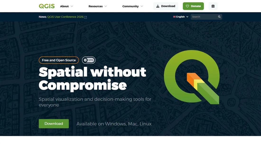
QGIS is the open-source GIS that ate the low end of the market and keeps climbing. It handles digitizing, spatial analysis, 3D visualization and print-ready cartography with a layout designer that produces genuinely professional maps. Format support is enormous, so whatever shapefile, GeoTIFF or database your data lives in, QGIS probably opens it.
The price is zero, forever, under the GPL license. The cost is learning time: the interface exposes everything at once, and beginners benefit from the many free tutorials the community produces. For nonprofits, researchers, small consultancies and anyone who needs real GIS without a license fee, it is the obvious starting point and often the ending point too.
What we like- Completely free and open source under GPL
- Professional cartography and analysis tools
- Runs on Windows, Mac and Linux
Watch out for- The interface can overwhelm beginners
- Some advanced workflows need plugins
#2
ArcGIS
Best for: enterprise mapping and spatial analysis
Visit esri.com
Starting priceSee website
Free planFree trial
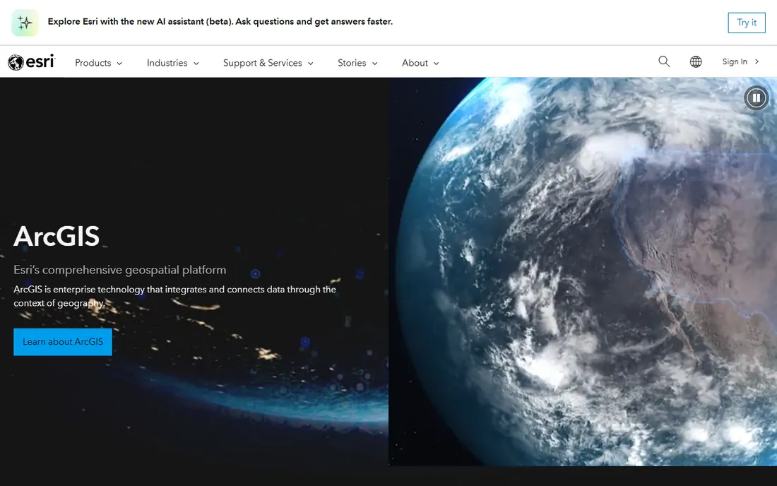
ArcGIS is what most people mean when they say "GIS software." Esri's platform covers desktop mapping with ArcGIS Pro, web maps, field apps and spatial analytics at a scale no competitor matches. Governments, utilities and large companies standardize on it because the tooling, data and support are all in one place.
That position comes with enterprise pricing and complexity. Licensing is quote-based for organizations, with user types that take real study to understand. Individuals can start cheaper, but a small business comparing costs will find QGIS or Global Mapper far friendlier. Choose ArcGIS when you need the ecosystem: shared organizational data, published web services and analysts who already know it.
What we like- The industry standard with the deepest toolset
- Huge data and basemap ecosystem
- Strong support and training resources
Watch out for- Expensive licensing for individuals and small teams
- The ecosystem encourages lock-in
Starting priceSee website
Free planFree trial
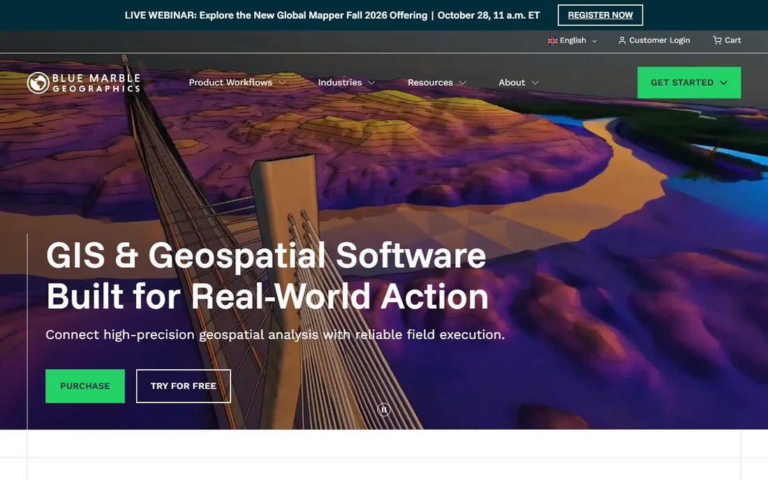
Global Mapper built its reputation on one promise: open anything, convert anything. Surveyors, engineers and drone operators use it to chew through lidar point clouds, generate contours, compute cut-and-fill volumes and reproject data between coordinate systems without drama. The 2026 versions add AI-assisted image classification and drone photogrammetry in the top tier.
Blue Marble now sells it as a subscription with Essentials, Advanced and Pro-style tiers, and the company also owns Avenza Maps for offline field collection. The honest weakness is map finishing: for beautiful print cartography, QGIS does better. But for getting messy real-world data into usable shape, Global Mapper is the fastest tool in this list.
What we like- Opens more than 300 vector and raster formats
- Strong terrain, watershed and volume tools
- Pairs with Avenza Maps for field work
Watch out for- Cartographic output less polished than QGIS or ArcGIS
- Subscription tiers can confuse first-time buyers
Starting priceSee website
Free planFree trial

MapInfo Pro has been drawing business maps since before most of its competitors existed. Precisely now owns it, and the pitch is location intelligence for decision makers: trade areas, demographic overlays, site selection and territory management, with access to Precisely's own data enrichment. Retailers, banks and insurers still run whole site-selection processes on it.
The limitations are real for modern buyers. It is Windows only, and Precisely sells it through enterprise channels with quote-based pricing. A solo analyst will likely pick QGIS or Maptitude instead. But in industries where MapInfo is already the standard and the demographic data bundles matter, it remains hard to dislodge.
What we like- Long track record in retail, telecom and insurance
- Strong thematic mapping and demographics
- Backed by Precisely's data assets
Watch out for- Windows only
- Pricing is quote-based and aimed at organizations
Starting priceSee website
Free planFree trial
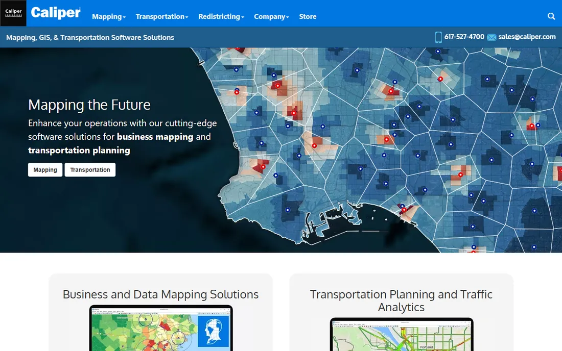
Maptitude is the GIS for people who want answers, not a second career. Caliper bundles it with nationwide demographic, business and street data, so you can map customers, build territories and run drive-time analyses without hunting down datasets first. Real estate, franchise, healthcare and retail users make up the core audience, and the G2 reviews are consistently warm.
It will not replace ArcGIS for heavy geoprocessing or QGIS for plugin-powered research. But the tradeoff is deliberate: a business analyst can be productive in days rather than months. Pricing is a one-time license historically in the hundreds of dollars, far below enterprise GIS, with a free trial to confirm the fit.
What we like- Includes demographic and business data out of the box
- Easier to learn than ArcGIS or QGIS
- Strong for territories, routing and site analysis
Watch out for- Smaller user community than the big two
- Less depth for advanced spatial science
Starting priceFree
Free planYes
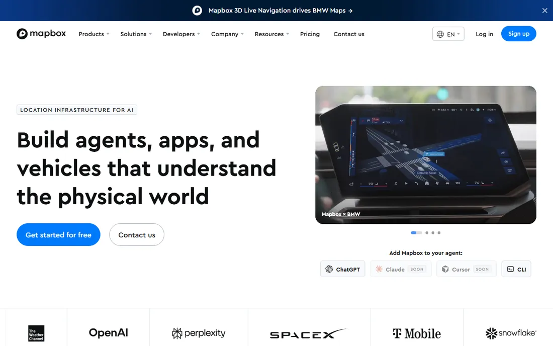
Mapbox is not desktop software at all. It is a platform for putting maps inside your own products: store locators, delivery tracking, data visualizations and in-app navigation. Mapbox Studio lets you design the map's look down to the label font, and the APIs handle search, routing and geocoding.
The free tier covers experimentation and small projects comfortably. Costs scale with map loads and API calls, so a viral page can generate a real bill, which is the main thing to watch. If your goal is a map your customers interact with rather than a map you print, Mapbox and Google's mapping APIs are the two serious options, and Mapbox wins on design control.
What we like- Beautiful, fully customizable base maps
- Generous free tier for getting started
- Strong SDKs for web, iOS and Android
Watch out for- Usage-based pricing can surprise at scale
- Designing in Studio has a learning curve
Starting price$99/month
Free planYes
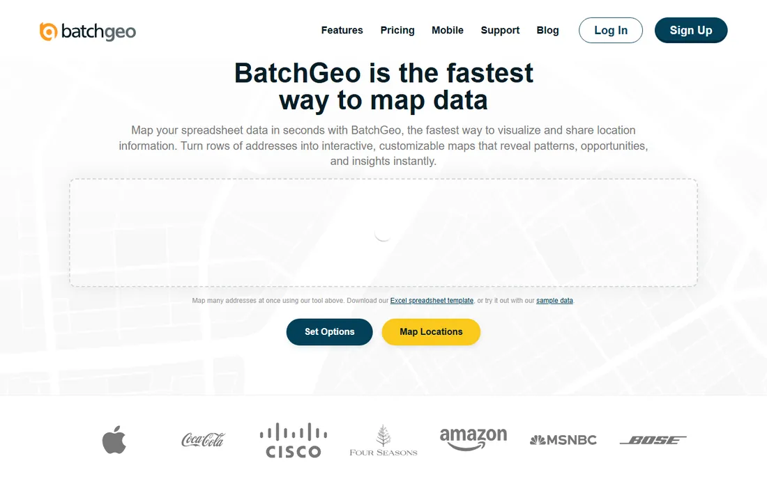
BatchGeo solves exactly one problem with no fuss: you have addresses in a spreadsheet, you want pins on a map. Paste the data, confirm the columns, and you get an interactive map you can share or embed. Sales teams plot territories, real estate agents map listings, and event planners map venues, all without touching GIS software.
The free plan handles up to 250 points per map with no signup, which covers most casual uses. Pro at $99 per month adds 25,000 markers per map, heat maps, exports, password protection and multi-user access. If your needs stop at "show these locations," paying for desktop GIS would be a waste; start here.
What we like- Paste data and get a map in under a minute
- No account needed for basic maps
- Embeds easily in websites
Watch out for- Free maps are public and ad-supported
- Serious use needs the $99 per month Pro plan
Starting price$14/month
Free planYes
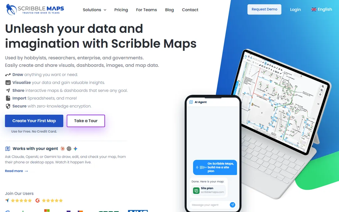
Scribble Maps is the closest thing to drawing on a paper map, in a browser. You can sketch property boundaries, plot hiking routes, measure distances and areas, build drive-time polygons and layer it all over satellite or street maps. Researchers, real estate professionals and event planners use it for quick visual work that does not need a GIS analyst.
The free tier gives hobbyists five maps with drawing tools, which is genuinely useful. Pro Basic at $14 per month (billed annually) opens up unlimited maps, heat maps and larger exports, while Pro Business at $90 adds route optimization and team features. It will not do spatial statistics, but for visual map-making it beats wrestling with desktop software.
What we like- Real drawing tools: shapes, routes, drive-time polygons
- Generous free tier for hobbyists
- Easy sharing and high-res exports
Watch out for- Not a true GIS, no heavy analysis
- The interface shows its age in places
#9
Google My Maps
Best for: quick personal maps with zero learning
Visit google.com
Starting priceFree
Free planYes
Google My Maps is the simplest tool on this list: draw points, lines and shapes on a Google map, add descriptions and photos, and share the result. Trip planning, neighborhood guides, delivery zones and classroom projects are the classic uses. If you can use Google Maps, you already know how to use it.
The limits are what you would expect from a free consumer tool. Styling options are basic, there is no real analysis, and large datasets will choke it. We could not load the page content during verification because Google requires sign-in, but the address is Google's long-standing My Maps home. For anything beyond simple annotated maps, step up to Scribble Maps or BatchGeo.
What we like- Free with any Google account
- Nothing to install
- Easy sharing and collaboration
Watch out for- Limited styling and analysis
- Requires a Google account and sign-in
Start by describing your map in one sentence. "I need to analyze flood risk zones against property parcels" is a GIS job: QGIS, ArcGIS or Global Mapper. "I need to show our 200 store locations on our website" is a BatchGeo or Mapbox job. "I need to sketch delivery zones and measure them" belongs to Scribble Maps or My Maps. Most buyers overbuy here, paying for spatial analysis they will never run.
Next, consider who else touches the map. Solo work favors whatever you learn fastest. Team work favors web tools with sharing built in. Client-facing work favors polished output, which points to QGIS's layout designer, ArcGIS or Mapbox Studio depending on the medium.
Finally, check your data before your software. Desktop GIS eats shapefiles, GeoTIFFs and databases. Web tools want spreadsheets and addresses. If your data lives in Excel, the fastest path to a finished map is BatchGeo or Scribble Maps, not a GIS install.
How we chose
We surveyed the tools people actually recommend for map-making: GIS forums, G2 and Capterra reviews, Reddit threads and vendor documentation. Every product listed is live and available in 2026. We verified each vendor's homepage and pricing page directly, and we grouped the tools by job rather than pretending one ranking fits everyone. No hands-on testing was performed; assessments reflect documented features, pricing and public user feedback.
When free beats paid
Three tools on this list cost nothing and cover a surprising range. QGIS handles professional GIS work that once required a five-figure license. Google My Maps covers simple annotated maps for trip planning or local projects. BatchGeo's free tier maps 250 addresses without an account.
Paid tools earn their price in specific situations. ArcGIS earns it through organizational data sharing and support contracts. Global Mapper earns it when you process lidar or convert obscure formats daily. Mapbox earns it when the map is part of your product and design control matters. Maptitude earns it by bundling data a business analyst would otherwise buy separately.
The practical move is to start free and upgrade when you hit a wall you can name. "QGIS cannot open this format" or "we need private embedded maps" are good reasons to pay. "Maybe we will need analysis someday" is not.
Frequently asked questions
What is the best free map drawing software?
QGIS is the best free option for serious mapping and analysis. For simple annotated maps, Google My Maps is free and requires no learning. BatchGeo's free tier is the fastest way to map a spreadsheet of addresses.
Is QGIS as good as ArcGIS?
For most desktop mapping and analysis tasks, yes. QGIS matches or beats ArcGIS Pro in cartography and format support. ArcGIS pulls ahead in enterprise data sharing, web services, field apps and organizational support.
What software do professionals use to draw maps?
GIS professionals mostly use ArcGIS Pro or QGIS. Surveyors and engineers often add Global Mapper for terrain and format work. Web developers use Mapbox or Google Maps Platform for embedded maps.
Can I make a map from an Excel spreadsheet?
Yes. Paste your addresses into BatchGeo and you get an interactive map in under a minute. Scribble Maps also imports spreadsheets and adds drawing tools on top. QGIS can do it too, but that is overkill for a simple pin map.
What is the easiest map drawing software for beginners?
Google My Maps for the simplest annotated maps, Scribble Maps when you need drawing and measuring tools, and BatchGeo for address lists. All three work in a browser with no install.
Do I need GIS software to draw a custom map?
No. True GIS software is for spatial analysis. If you only need to draw, annotate or visualize locations, web tools like Scribble Maps, BatchGeo or My Maps finish faster with far less learning.
Sources we checked (11)
- https://qgis.org/
- https://www.esri.com
- https://www.bluemarblegeo.com/
- https://www.precisely.com
- https://www.caliper.com/
- https://www.mapbox.com
- https://batchgeo.com/
- https://www.scribblemaps.com/
- https://www.google.com/maps/d/
- https://www.saasworthy.com/list/geographic-information-system-gis-software
- https://alternativeto.net/software/global-mapper/?feature=gis
Is your product missing or out of date?
We review this list regularly. Vendors can request a listing, send updated pricing or ask about featured placement.

Shihab Mia · Founder, Rankite
Shihab has spent more than a decade helping SaaS and e-commerce brands grow through search. He writes Rankite's software buying guides from pricing pages, documentation and public user reviews. More about Shihab.