How we make this list: we compare pricing pages, product documentation and public user reviews. Rankite is independent; if a vendor ever pays for a featured spot, that listing is clearly labeled Partner.
Key takeaways
- QGIS is free and open source, and now rivals expensive commercial tools for most desktop GIS work.
- ArcGIS from Esri remains the industry standard for enterprise and government, with pricing that reflects it.
- Maptitude ($795 single-user license) and Global Mapper (from $700) are the best-value commercial desktop options.
- CARTO and Google Earth Engine bring GIS to the cloud for warehouse-scale spatial analytics and satellite data.
Quick comparison
| Tool | Best for | Starting price | Free plan |
|---|
 ArcGIS ArcGIS | enterprise and government GIS | See website | Free trial |
 QGIS QGIS | free open-source desktop GIS | Free | Yes |
 MapInfo Pro MapInfo Pro | business location intelligence | See website | Free trial (30 days) |
 Global Mapper Global Mapper | terrain, lidar, and format conversion | $700 (single-user node-locked) | Free trial |
 Maptitude Maptitude | business mapping with included data | $795 (single-user license) | Free trial (30 days) |
 CARTO CARTO | cloud-native spatial analytics | See website | Free trial |
 Google Earth Engine Google Earth Engine | planetary-scale satellite analysis | See website | Free trial |
Is your product missing or out of date?
We review this list regularly. Vendors can request a listing, send updated pricing or ask about featured placement.
The best GIS software
Starting priceSee website
Free planFree trial
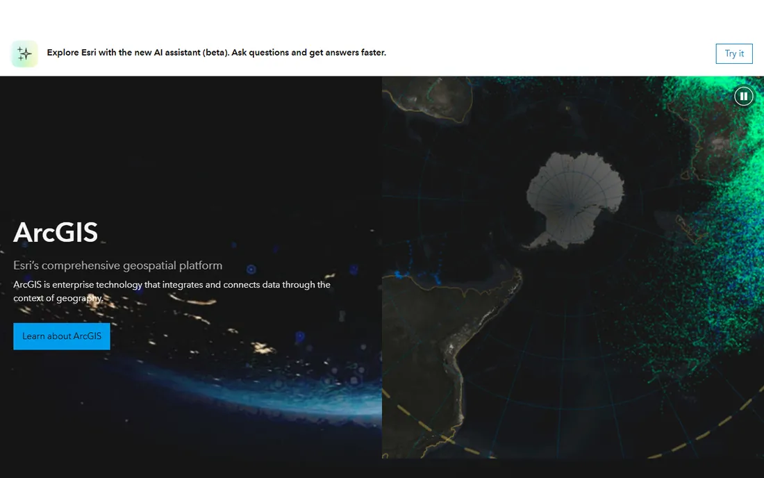
Esri's ArcGIS is the GIS against which all others are measured: decades of development, thousands of geoprocessing tools, and an ecosystem of data, extensions, and services that no rival matches. Governments, utilities, and large enterprises standardize on it because it handles everything from field data collection to 3D urban modeling in one platform.
The breadth is the point: spatial analysis, network analysis, 3D, imagery, and real-time data all live in the ArcGIS platform, with ArcGIS Online making maps and apps shareable across an organization. Independent reporting puts ArcGIS Pro tiers around $100 to $700-plus per user per month depending on edition, with extensions extra, and enterprise agreements running far higher.
The honest catch is cost and complexity: this is serious software with serious pricing and a learning curve to match. But when GIS is core to your operations and you need the deepest capabilities, ArcGIS remains the default choice.
What we like- Industry standard with the deepest toolset
- Massive data and extension ecosystem
- Trusted by governments worldwide
Watch out for- Expensive, with extensions priced separately
- ArcGIS Pro is Windows-only
- Steep learning curve
Starting priceFree
Free planYes
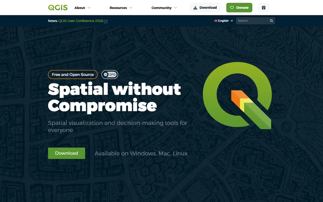
QGIS is the free and open-source GIS that has closed the gap with commercial tools: full desktop mapping, spatial analysis, geoprocessing, and cartography under the GNU GPL, running natively on Windows, macOS, and Linux. It reads shapefiles, geodatabases, PostGIS, and dozens of other formats, and Python plugins extend it in every direction.
The integrated GRASS GIS functionality alone provides over 400 analysis modules, and the plugin ecosystem adds everything from geocoding to 3D visualization. Mobile companions like QField take it into the field. Version 4.x continues rapid community-driven development.
The catches: support comes from the community, not a vendor SLA, and the interface, while much improved, still trails commercial polish. For consultancies, nonprofits, and small businesses, QGIS delivers 90 percent of ArcGIS capability at zero cost.
What we like- Completely free with no limits
- Runs on Windows, Mac, and Linux
- Hundreds of plugins and full GRASS integration
Watch out for- No official commercial support contract
- Interface less polished than ArcGIS
- Some advanced workflows need plugins
Starting priceSee website
Free planFree trial (30 days)
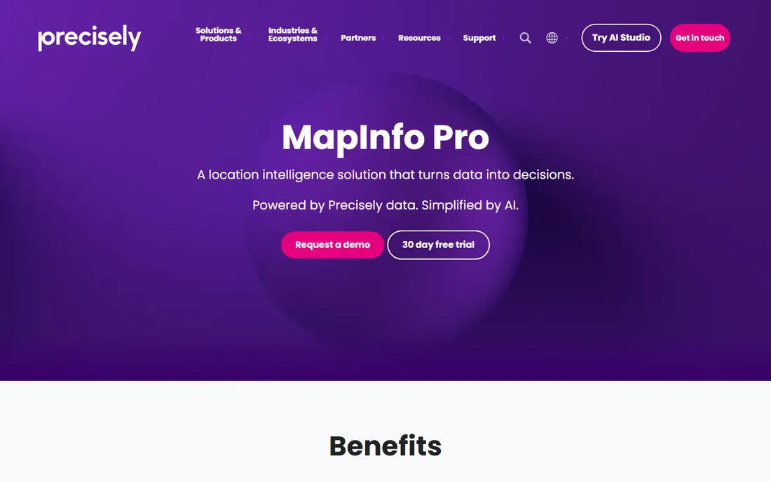
MapInfo Pro from Precisely is the business person's GIS: approachable desktop mapping built for site selection, territory design, market analysis, and asset management rather than hardcore geoscience. Its MapBasic scripting and Python integration automate repetitive mapping tasks.
The Precisely connection is the advantage: native access to the company's data enrichment, geocoding, and address verification products. A 30-day free trial lets you evaluate fully, and pricing is quote-based through Precisely sales.
The catches are transparency and ecosystem: unpublished pricing means a sales process, and the third-party add-on world is smaller than ArcGIS or QGIS. For business teams doing location analytics rather than spatial science, MapInfo Pro hits the sweet spot of power and usability.
What we like- User-friendly for business analysts
- Strong geocoding and location analytics
- Good Precisely data integration
Watch out for- Pricing not published
- Desktop Windows focus
- Smaller ecosystem than ArcGIS
Starting price$700 (single-user node-locked)
Free planFree trial
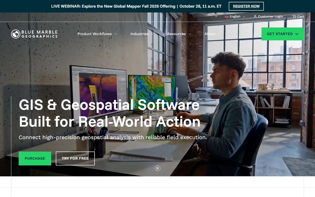
Global Mapper from Blue Marble Geographics is the Swiss Army knife of GIS: it opens virtually any spatial data format ever invented, making it the go-to tool for format conversion, terrain analysis, and lidar processing. Surveyors, engineers, and GIS technicians keep it open alongside their primary platform.
Pricing is published and refreshingly straightforward: single-user node-locked licenses from $700, with Pro at $1,750 for lidar, photogrammetry, and AI classification features. Floating, dongle, and network licenses serve teams. Recent versions add subscription tiers with centralized administration through the Blue Marble Hub.
The catch is aesthetics: the interface prioritizes function over beauty. But when you need to convert an obscure format, process a point cloud, or crunch terrain data fast, Global Mapper earns its keep many times over.
What we like- Reads an unmatched range of data formats
- Strong lidar and terrain tools
- One-time license options
Watch out for- Interface is utilitarian
- Pro tier at $1,750 for full capability
- Subscription push in recent years
Starting price$795 (single-user license)
Free planFree trial (30 days)
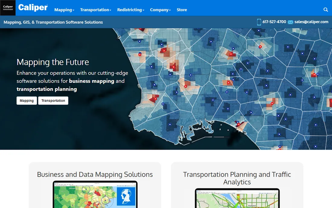
Maptitude from Caliper is the value champion of commercial GIS: a $795 single-user license that includes HERE street data, US Census demographics, ZIP codes, and drive-time routing with unlimited geocoding and no per-use charges. That data bundle alone would cost multiples elsewhere.
The software reads MapInfo and ArcView formats natively, includes 3D mapping, territory design, and hundreds of demographic variables, and runs one of the fastest spatial computation engines in the business. Subscription and perpetual licensing options exist, and a full-featured 30-day trial makes evaluation easy.
The catches: it is a desktop Windows application in a cloud world, and the brand lacks Esri's recognition. For sales territory mapping, site selection, and market analysis at small and mid-size companies, Maptitude is arguably the best value in GIS.
What we like- Street and demographic data included in the price
- One-time pricing with no per-use charges
- Fast spatial engine
Watch out for- Desktop Windows focus
- Brand less known than Esri
- Online version more limited
Starting priceSee website
Free planFree trial
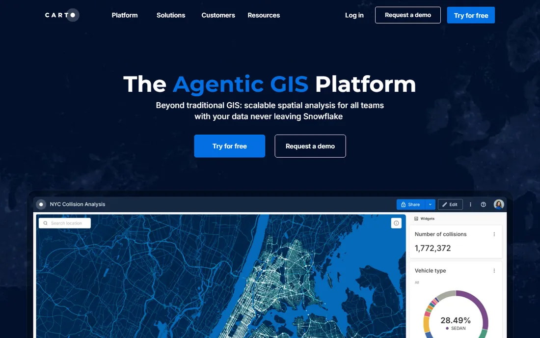
CARTO is location intelligence for the data-warehouse era: instead of moving data into a GIS, it runs spatial analysis directly inside BigQuery, Snowflake, Redshift, and Databricks where your data already lives. That warehouse-native architecture handles datasets that would choke desktop software.
The platform offers visualization, spatial SQL, geocoding, and a data observatory of ready-made spatial datasets. Pricing is custom quote-based for Small, Medium, and Strategic tiers measured in usage units, with free trials available. It targets data teams at enterprises in telecom, retail, and logistics.
The catch is accessibility: this is enterprise software with enterprise pricing and a real technical bar. Small businesses and individuals will find it out of reach. For organizations with serious spatial data workloads and a modern data stack, CARTO is the future of GIS.
What we like- Runs analytics inside your data warehouse
- Handles massive datasets
- Modern cloud architecture
Watch out for- Enterprise custom pricing
- Requires data warehouse and technical team
- Removed affordable individual tiers
Starting priceSee website
Free planFree trial
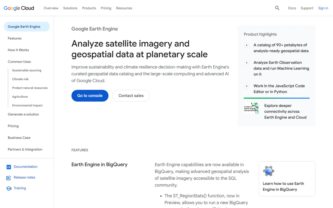
Google Earth Engine is a supercomputer for satellite data: petabytes of Landsat, Sentinel, and other imagery pre-loaded and analysis-ready, with cloud compute that processes decades of global data in minutes. Environmental scientists, agriculture companies, and insurers use it for deforestation tracking, crop monitoring, and climate analysis.
The JavaScript and Python APIs make it programmable, and integration with BigQuery connects earth observation to business data. Commercial pricing is structured in Basic, Professional, and Premium tiers, with monthly packages starting around $500 per month for commercial use and on-demand compute pricing beyond that.
The catches: this is specialized software for remote sensing, not a general GIS, and it lives entirely in Google's cloud. For organizations working with satellite imagery at scale, nothing else comes close.
What we like- Petabytes of satellite imagery ready to analyze
- Cloud compute at planetary scale
- Python and JavaScript APIs
Watch out for- Pricing starts around $500/month
- Cloud-only
- Aimed at scientists and developers
How we chose
We compared GIS software using vendor pricing pages and official documentation, alongside reviews on G2, Capterra, and GIS community discussions. We evaluated mapping and analysis capability, data format support, platform availability, pricing transparency, and fit for business versus scientific users. We covered desktop, cloud, commercial, and open-source options. We did not perform hands-on mapping projects.
Simple business mapping (territories, site selection, customer maps) rarely needs more than Maptitude or MapInfo Pro, and QGIS handles it free. Terrain, lidar, and format conversion point to Global Mapper. Enterprise-wide GIS with field operations and 3D points to ArcGIS.
Cloud-scale analytics on warehouse data is CARTO's territory, while satellite and environmental analysis belongs to Google Earth Engine. Start from the data and the question, not the brand: the most expensive GIS in the world is the one that cannot read your files.
Frequently asked questions
What is the best free GIS software?
QGIS is the best free GIS software: full-featured, open source, and cross-platform, with capabilities that rival commercial tools for most desktop workflows. Google Earth Pro is also free for visualization.
How much does ArcGIS cost?
Esri does not publish simple list pricing; ArcGIS Online and ArcGIS Pro are sold through subscriptions and enterprise agreements with extensions priced separately. Independent reporting suggests Pro tiers range from around $100 to over $700 per user per month. Contact Esri for a quote.
Is QGIS as good as ArcGIS?
For most desktop mapping and analysis, yes: QGIS matches or approaches ArcGIS capability with a huge plugin ecosystem. ArcGIS keeps the edge in enterprise deployment, 3D, real-time data, official support, and its data ecosystem.
What GIS software is best for small business?
Maptitude at $795 with included data is excellent value, and QGIS is free. Both handle territories, site selection, and customer mapping without enterprise budgets.
What is the difference between GIS and location intelligence?
GIS is the broader technology for capturing, analyzing, and visualizing spatial data. Location intelligence usually refers to applying spatial analysis to business decisions, often in cloud or BI-embedded form like CARTO.
Can I do GIS analysis in the cloud?
Yes. CARTO runs spatial analytics inside cloud data warehouses, Google Earth Engine processes satellite data in the cloud, and ArcGIS Online provides cloud-hosted GIS. Cloud GIS suits large datasets and distributed teams. Whichever tier you choose, pilot with a single project before committing: data quality and staff training determine success more than the software logo.
One more tip: check the data before the demo
Every GIS demo looks impressive with clean sample data. Your data is not clean sample data. Before buying, load your own shapefiles, spreadsheets, and address lists into the trial and run the analysis you actually need. Format quirks, coordinate system mismatches, and messy addresses are where GIS projects stall, and a tool that handles your real data smoothly is worth more than one with a longer feature list.
Sources we checked (9)
- https://www.linkedin.com/pulse/qgis-vs-arcgis-pro-2026-platform-wars-closer-than-you-naughton-ff96f
- http://en.wikipedia.org/wiki/QGIS
- https://www.thesmbguide.com/mapinfo-pro
- https://www.bluemarblegeo.com/purchase-global-mapper/
- https://www.caliper.com/maptitude/mapinfo-comparison/
- https://www.g2.com/products/maptitude/pricing
- https://www.g2.com/products/carto/pricing
- https://sanborn.com/blog/google-earth-engine-frequently-asked-questions/
- https://slashdot.org/software/comparison/Conseris-vs-Google-Earth-Engine/
Is your product missing or out of date?
We review this list regularly. Vendors can request a listing, send updated pricing or ask about featured placement.

Shihab Mia · Founder, Rankite
Shihab has spent more than a decade helping SaaS and e-commerce brands grow through search. He writes Rankite's software buying guides from pricing pages, documentation and public user reviews. More about Shihab.