How we make this list: we compare pricing pages, product documentation and public user reviews. Rankite is independent; if a vendor ever pays for a featured spot, that listing is clearly labeled Partner.
Key takeaways
- For most business teams, the shortlist is Maptive ($1,250/year Pro), BatchGeo ($99/month Pro) and Felt ($199/month Team), all with published prices and free trials or free plans.
- QGIS costs nothing and handles serious GIS work on the desktop, if your team can handle the learning curve.
- Embedding maps in a website or app is a developer decision: Google Maps Platform ($100/month Starter) and Mapbox are the two names to price out.
- Esri ArcGIS, CARTO, eSpatial and Precisely MapInfo Pro publish no list prices: get the annual figure in writing before you compare.
Quick comparison
| Tool | Best for | Starting price | Free plan |
|---|
 Esri ArcGIS Esri ArcGIS | Organizations that need the full GIS analysis stack, from mapping to advanced analytics | See website (annual user-type licenses; no list prices published) | See website |
 Mapbox Mapbox | Product and engineering teams building custom maps, navigation and search into apps | See website (pay-as-you-go usage pricing; no fixed list price) | See website |
 Google Maps Platform Google Maps Platform | Businesses embedding the Google Maps interface customers already know into sites and apps | $100/month (Starter plan, 50,000 monthly calls) | $300 trial credit for new customers |
 QGIS QGIS | Teams that want real GIS capability with zero software cost | $0 (free and open source, GPLv2+) | Yes (free forever) |
 CARTO CARTO | Data teams running spatial analytics directly inside their cloud data warehouse | See website (pay-as-you-go or annual committed tiers; no list prices) | Free trial (30 days) |
 BatchGeo BatchGeo | Anyone who needs a spreadsheet turned into a shareable map in minutes | $99/month (Pro plan) | Yes (free plan; up to 250 locations per map) |
 Maptive Maptive | Sales, retail and franchise teams that need territory maps, heat maps and demographics without GIS staff | $1,250/year (Pro plan, one user) | Free trial (10 days, no credit card required) |
 eSpatial eSpatial | Sales and operations teams that want guided territory mapping with hands-on support | See website | See website |
 Felt Felt | Teams that want a collaborative, browser-based GIS anyone can open | $199/month (Team plan, billed yearly) | Yes (free plan) plus 7-day trial, no credit card |
 Precisely MapInfo Pro Precisely MapInfo Pro | Organizations with established MapInfo workflows that need a supported desktop GIS | See website (custom quote) | See website |
Is your product missing or out of date?
We review this list regularly. Vendors can request a listing, send updated pricing or ask about featured placement.
The best mapping software for business
A regional sales manager opens her territory map on Monday morning and sees the problem in one glance: three reps covering the same metro zip codes while a fast-growing suburb sits unassigned. Her spreadsheet holds every address, but rows of text do not show geography. She needs a real map before Friday's planning meeting.
That is the core job of business mapping software: turn location data into decisions a team can see. The ten tools below split into two camps. Maptive, BatchGeo, eSpatial and Felt turn spreadsheets into maps with no GIS training. Esri ArcGIS, QGIS, CARTO and MapInfo Pro are full GIS platforms for serious analysis. Google Maps Platform and Mapbox are developer platforms for embedding maps in products. Pick the camp first, then the tool.
#1
Esri ArcGIS
Best for: Organizations that need the full GIS analysis stack, from mapping to advanced analytics
Visit esri.com
Starting priceSee website (annual user-type licenses; no list prices published)
Free planSee website
Esri ArcGIS is the enterprise GIS standard, and ArcGIS Online is how most businesses buy it: annual user-type licenses that give each person access from any device, with the cloud infrastructure included. Creators build maps and run analysis, Contributors and field workers feed data in, and Viewers across the company explore dashboards. Public-facing maps can be shared without per-view charges, which matters for customer-facing use cases.
The trade-offs are price opacity and complexity. Esri publishes no list prices for ArcGIS Online, and the user-type model means you are buying the right mix of six license types, not one product. That suits an organization with a GIS lead, not a small team that wants pin maps. If you need real GIS and have the staff to run it, this is the reference product. If you need a territory map by Friday, look at Maptive or eSpatial instead.
What we like- The deepest GIS capability on this list, from cartography to advanced spatial analysis
- Flexible annual user types (Creator, Professional, Professional Plus, Viewer, Contributor, Mobile Worker) that match roles to access
- Public map sharing carries no usage charges for views or data transfer
Watch out for- No published prices, so every purchase goes through Esri sales
- The six user-type licensing model takes real effort to understand and administer
#2
Mapbox
Best for: Product and engineering teams building custom maps, navigation and search into apps
Visit mapbox.com
Starting priceSee website (pay-as-you-go usage pricing; no fixed list price)
Free planSee website
Mapbox is infrastructure, not an app: APIs and SDKs for maps, navigation, search and location data that product teams build into web and mobile products. Usage is metered pay-as-you-go with volume discounts and commitment options, and support is sold separately (Individual starts at $50 per month). Logistics, delivery and automotive companies use it for routing, ETAs and in-app navigation at scale.
For a business buyer the honest framing is this: Mapbox competes with Google Maps Platform, not with Maptive. If you are embedding a store locator or building driver navigation into your own app, price both. If you want to map a spreadsheet of customers, Mapbox is the wrong category entirely.
What we like- A developer-first platform covering maps, navigation, search and data through APIs and SDKs
- Usage-based pricing with volume discounts and commitment savings that scale with your product
- Strong fit for logistics, delivery, automotive and mobile apps
Watch out for- No fixed starting price is published on the pricing page
- It is a platform for developers, so non-technical teams will need engineering help to ship anything
#3
Google Maps Platform
Best for: Businesses embedding the Google Maps interface customers already know into sites and apps
Visit mapsplatform.google.com
Starting price$100/month (Starter plan, 50,000 monthly calls)
Free plan$300 trial credit for new customers
Google Maps Platform is the safe default for embedding maps: the interface is familiar, the data is updated constantly, and the pricing page publishes real numbers. Starter at $100 per month covers Dynamic Maps and Geocoding with 50,000 monthly calls, Essentials at $275 per month adds routes, places autocomplete and environment APIs with 100,000 calls, and Pro at $1,200 per month adds advanced features with 250,000 calls. New customers get a $300 trial credit.
The watch-out is usage. Subscriptions are predictable, but metered pay-as-you-go needs monitoring, because map loads and geocoding calls add up fast on popular sites. For a store locator or delivery tracker, start with Starter or Essentials and watch the dashboard. For deep custom cartography, Mapbox gives designers more control.
What we like- Published subscription tiers with predictable pricing: Starter $100/month (50,000 calls), Essentials $275/month (100,000 calls), Pro $1,200/month (250,000 calls)
- The familiar Google Maps interface your customers already trust
- Broad API coverage across maps, routes, places and environment data
Watch out for- Pay-as-you-go overages can surprise teams that do not monitor usage
- The Enterprise tier is custom-quoted
#4
QGIS
Best for: Teams that want real GIS capability with zero software cost
Visit qgis.org
Starting price$0 (free and open source, GPLv2+)
Free planYes (free forever)
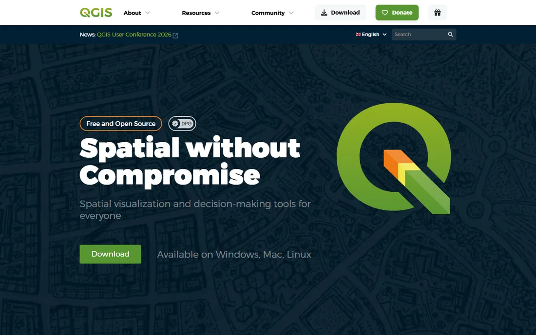
QGIS is the rare free tool that competes with five-figure software. It is a full desktop GIS: professional cartographic design, precise digitizing and geometry editing, a comprehensive analysis toolbox with automatable workflows, and broad data format support. It runs on Windows, Mac and Linux, and the license guarantees it stays free and open source.
The cost is expertise, not money. QGIS assumes you know what a coordinate reference system is, and while tutorials and community support are strong, there is no vendor to call. For a business with an analyst who knows GIS, QGIS handles territory analysis and demographic mapping at zero license cost. For a sales manager who needs a map today, the no-code tools below are faster.
What we like- Completely free with no paid tier and no feature gating, licensed under GNU GPLv2+
- Runs on Windows, Mac and Linux with professional cartography, digitizing and analysis tools
- Large community, plugins and documentation
Watch out for- Desktop software with a real learning curve for non-GIS users
- No vendor support contract, so help comes from the community
#5
CARTO
Best for: Data teams running spatial analytics directly inside their cloud data warehouse
Visit carto.com
Starting priceSee website (pay-as-you-go or annual committed tiers; no list prices)
Free planFree trial (30 days)
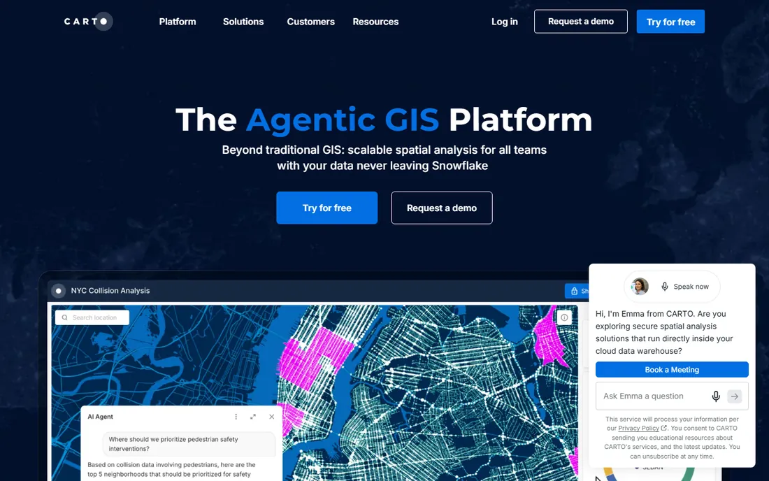
CARTO is built for the modern data stack: instead of copying data into a GIS, it runs spatial SQL and analysis natively inside your cloud data warehouse. It layers low-code workflows, deck.gl map building, AI agents that answer location questions in plain language, and a Data Observatory of ready-to-use datasets. Pricing comes two ways: metered pay-as-you-go billed monthly, or annual committed tiers (Enterprise, Strategic, Custom). The 30-day free trial opens the full platform.
The honest fit check: CARTO is for organizations where location analytics is a data-team workload, like site selection across a retail network or insurance risk modeling. A five-person sales team mapping accounts will find it heavy and expensive. If your data already lives in BigQuery or Snowflake and your analysts speak SQL, CARTO is the strongest platform here. Otherwise, start simpler.
What we like- Cloud-native platform that queries BigQuery, Snowflake, Databricks, Redshift and PostgreSQL in place, so data never moves
- Low-code workflows, AI agents and a 12,000-dataset Data Observatory
- 30-day free trial with full platform access
Watch out for- No list prices on the pricing page
- Enterprise-oriented, so it is overkill for simple pin maps
#6
BatchGeo
Best for: Anyone who needs a spreadsheet turned into a shareable map in minutes
Visit batchgeo.com
Starting price$99/month (Pro plan)
Free planYes (free plan; up to 250 locations per map)
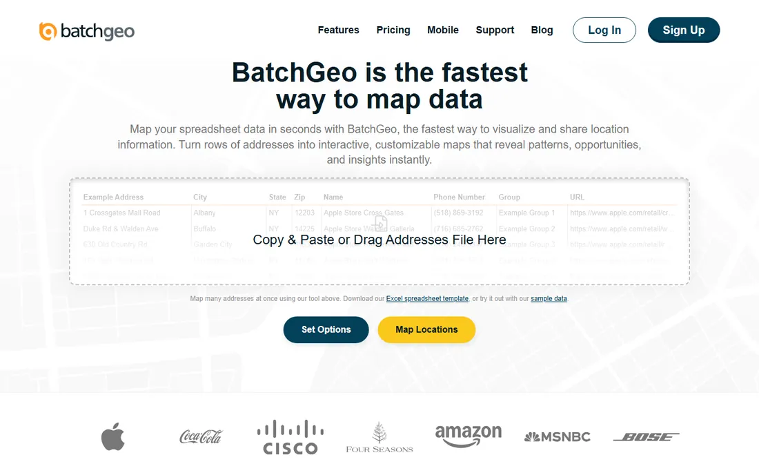
BatchGeo does one job and does it fast: paste addresses, zip codes or coordinates from a spreadsheet and get an interactive map in seconds. The free plan maps up to 250 locations per map without an account, with maps saved for up to 30 days. Pro at $99 per month raises the ceiling to 25,000 markers per map, 25,000 views and 250,000 geocodes per month, and adds heat map layers, multi-point route optimization for up to 25 stops, Street View integration, PDF/PNG/KML export and 10 users.
The limits are what you would expect at this price. This is visualization, not analysis: no demographic overlays, no territory balancing, no spatial SQL. Free maps are publicly accessible, so anything sensitive needs Pro's password protection. For presentations, store maps and delivery zones, BatchGeo is the cheapest credible option on this list.
What we like- The fastest path from spreadsheet to interactive map: paste data, confirm, done
- Free plan handles up to 250 locations per map with no account required
- Pro at $99/month adds 25,000 markers per map, heat maps, route optimization and 10 users
Watch out for- Free maps are public, with password protection and unlisted maps reserved for Pro
- Analysis depth is limited next to real GIS tools
#7
Maptive
Best for: Sales, retail and franchise teams that need territory maps, heat maps and demographics without GIS staff
Visit maptive.com
Starting price$1,250/year (Pro plan, one user)
Free planFree trial (10 days, no credit card required)
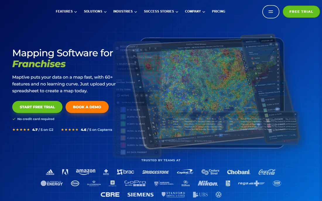
Maptive is the business-mapping specialist: upload a spreadsheet and build territory maps from zip codes or counties, heat maps weighted by sales volume, drive-time polygons along real road networks, and demographic overlays from 50-plus census variables, all without GIS training. Every plan includes the full toolkit plus a REST API, CRM integrations and route optimization for up to 70 stops. Pricing is published: Pro at $1,250 per year for one user, Team at $2,500 per year for five users, and a $250 45-day pass for short projects. The 10-day trial needs no credit card.
For the sales manager in the opening scenario, this is the most direct answer: territories rebalanced by workload, demographics under every pin, and maps shared as links or embeds. The main alternative is eSpatial, which is quote-based, so Maptive wins on price transparency.
What we like- Built for business users: 60+ tools including territory management, heat maps, drive-time polygons and US/Canada demographics, all in the browser
- Published pricing (Pro $1,250/year for one user, Team $2,500/year for five users, 45 Day Pass $250)
- Full REST API included on every plan
Watch out for- No free version beyond the 10-day trial
- The annual plans are the real product, so short projects pay the $250 pass
#8
eSpatial
Best for: Sales and operations teams that want guided territory mapping with hands-on support
Visit espatial.com
Starting priceSee website
Free planSee website
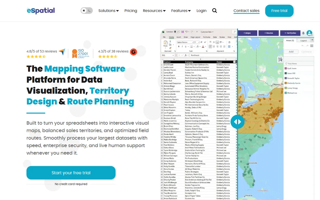
eSpatial has sold business mapping software since before the category had a name, and it shows in the focus: sales territories, account mapping, route planning and location analytics for sales and operations teams. The product covers the standard toolkit (heat maps, radius and drive-time analysis, territory balancing, demographic overlays) with an emphasis on ease of use for non-technical staff. Reviewers on G2 and Capterra single out the customer support and the short learning curve.
The commercial picture is the weak point: no published pricing, so treat it as quote-based. Request the annual number, ask what user count it covers, and compare it against Maptive's published $1,250 per year Pro plan. The product is credible; the buying process takes longer.
What we like- Purpose-built for sales mapping, territory design and route planning with heat maps, radius tools and demographic layers
- Long track record in the category (founded 1997, based in Ireland)
- Reviewers consistently praise the onboarding and support
Watch out for- No public pricing on the vendor site, so budgeting requires a sales conversation
- Smaller partner and integration ecosystem than Esri or CARTO
#9
Felt
Best for: Teams that want a collaborative, browser-based GIS anyone can open
Visit felt.com
Starting price$199/month (Team plan, billed yearly)
Free planYes (free plan) plus 7-day trial, no credit card
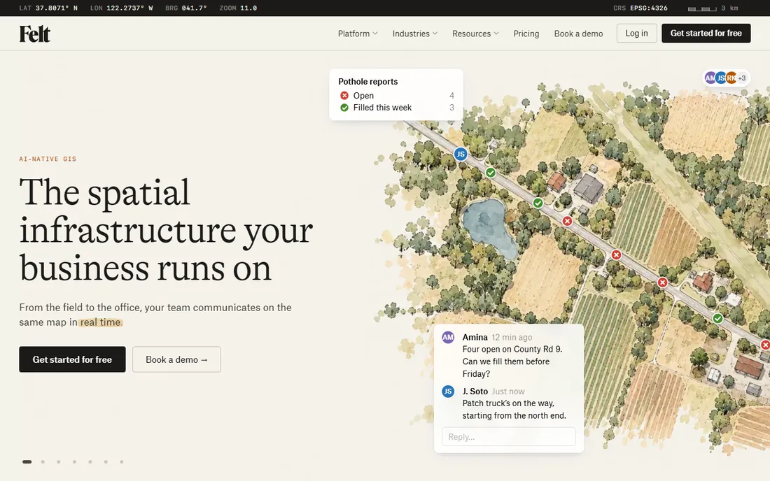
Felt rebuilds GIS for the browser: teams edit the same live map together, ask plain-language questions through Felt AI, connect databases like BigQuery and Snowflake for live data, and send field crews out with a mobile app. Viewers are free on every plan, which makes sharing painless. Pricing is published: Free at $0, Team at $199 per month billed yearly ($249 monthly), Business at $599 per month billed yearly ($749 monthly), Enterprise from $1,250 per month. New workspaces get a 7-day Business trial with no credit card.
The catch is the free plan's ceiling: no data uploads, no spatial analysis, no embeds. It is a viewer and annotation tier. Teams that need uploads, geocoding and analysis start at Team. For cross-functional teams that find desktop GIS intimidating, Felt is the easiest full-featured option here.
What we like- Real-time collaborative mapping in the browser with no desktop install
- Free plan is free forever (3 seats, 25 viewers, 10k views/month)
- Published pricing with Team at $199/month billed yearly and Business at $599/month billed yearly
- AI-assisted mapping, database connections and field data capture
Watch out for- The free plan excludes data uploads and analysis tools, so real work starts on Team
- A younger company than Esri or Precisely, with a smaller enterprise track record
#10
Precisely MapInfo Pro
Best for: Organizations with established MapInfo workflows that need a supported desktop GIS
Visit precisely.com
Starting priceSee website (custom quote)
Free planSee website

MapInfo Pro is the veteran of this list: a desktop GIS with roots going back decades, now sold by Precisely as part of a broader data integrity platform. Its strengths are the classic ones, precise cartography, thematic mapping and a loyal base of users with years of MapInfo workflows built around it. For an organization already running on MapInfo, staying on a supported version is the low-risk move.
For new buyers the case is thinner. Pricing is quote-only, the product is desktop-bound while competitors run in the browser, and Precisely's marketing energy goes to its AI and data management platform. Evaluate it if you have MapInfo files and trained staff. If you are choosing fresh, QGIS does the desktop job for free and Felt or CARTO do the modern job in the cloud.
What we like- The long-running desktop GIS behind decades of MapInfo workflows, now inside Precisely's data platform
- Strong cartography and thematic mapping heritage
- Fits teams already invested in the MapInfo ecosystem
Watch out for- Quote-based pricing with nothing published
- Desktop-bound in a market moving to browser and cloud
- Precisely's current focus is data management and AI, so MapInfo Pro is one product in a large portfolio
The biggest mistake buyers make is comparing tools across the two camps. Maptive, BatchGeo and eSpatial answer one question: where are my locations and what patterns do they show. You upload a spreadsheet, you get pins, heat maps, territories and demographics, and a non-technical manager runs the whole thing.
The GIS platforms answer a different question: what does the location data mean combined with everything else. Esri ArcGIS, QGIS, CARTO and MapInfo Pro do spatial analysis, data modeling and automation, and they assume someone on the team understands GIS. Google Maps Platform and Mapbox are a third job entirely: putting maps inside a product or site, which is an engineering purchase with usage-based pricing. Match the tool to the job and the team before you compare features.
How mapping software is priced: licenses, usage and free tiers
Mapping vendors charge in three ways, and the model matters more than the number. Per-user licenses (Esri's user types, Maptive's Pro and Team, Felt's seat plans) are predictable: you know the annual bill on day one. Watch the add-ons: extra seats, data refreshes and viewer overages are where the bill grows.
Usage-based pricing (Google Maps Platform, Mapbox, CARTO's pay-as-you-go) fits products and public sites where traffic varies. The published tiers are honest, but metered overages are not: a store locator that goes viral shows up on the invoice. Set spend alerts on day one and know which SKUs your implementation actually calls.
The free tiers here are better than in most categories. QGIS is free forever with no catch. BatchGeo maps 250 locations free with no account. Felt's free plan and 7-day trial let a team evaluate the real product, and Google gives new customers a $300 credit. Run your actual data through the trials, because sample data always looks good.
How we chose
We started with the searches buyers run: mapping software for business, sales territory mapping software and GIS software for business. For each candidate we opened the vendor's homepage and, where one exists, the vendor's own pricing page. Prices, free tiers and trial terms come from those pages, opened on 2026-10-14. Where a vendor publishes no price, we wrote "See website" rather than repeating third-party estimates.
Frequently asked questions
What is the best mapping software for a small business?
For most small businesses, Maptive ($1,250/year Pro) or BatchGeo ($99/month Pro) cover territory mapping, heat maps and demographics with no GIS training. Felt ($199/month Team) is the pick if several people need to collaborate on the same maps in a browser. QGIS is free if someone on the team can learn desktop GIS.
Is there really free mapping software for business use?
Yes. QGIS is free and open source with no paid tier. BatchGeo's free plan maps up to 250 locations per map with no account. Felt's free plan is free forever for viewing and annotation. Google Maps Platform gives new customers a $300 trial credit.
What is the difference between Maptive and Esri ArcGIS?
Maptive is a no-code business mapping tool: upload a spreadsheet and build territories, heat maps and demographic overlays in the browser, with published pricing from $1,250 per year. ArcGIS is a full enterprise GIS platform with deep analysis, six user-type licenses and quote-based pricing. Maptive serves the business user; ArcGIS serves the GIS professional.
How much does it cost to put Google Maps on my website?
The Starter subscription is $100 per month for 50,000 monthly calls, Essentials is $275 per month for 100,000 calls, and Pro is $1,200 per month for 250,000 calls. New customers get a $300 trial credit. Monitor usage, because pay-as-you-go overages bill automatically.
Do I need GIS experience to use business mapping software?
Not for the business tools. Maptive, BatchGeo, eSpatial and Felt are built for people with spreadsheets and no GIS background. You need GIS skills, or an analyst who has them, for Esri ArcGIS, QGIS, CARTO and MapInfo Pro. Mapbox and Google Maps Platform need a developer to implement.
Which mapping tool is best for sales territories?
Maptive and eSpatial are the two specialists: both do territory building and balancing, heat maps, radius and drive-time analysis, and demographic overlays. Maptive publishes its pricing ($1,250/year Pro, $2,500/year Team) and offers a 10-day trial with no credit card, which makes it the easier one to evaluate. BatchGeo is the budget alternative for simpler territory visualization.
Sources we checked (15)
- https://www.esri.com
- https://www.esri.com/en-us/arcgis/products/arcgis-online/buy
- https://www.mapbox.com
- https://www.mapbox.com/pricing/
- https://mapsplatform.google.com/
- https://mapsplatform.google.com/pricing
- https://qgis.org/
- https://carto.com/
- https://carto.com/pricing/
- https://batchgeo.com/
- https://maptive.com/
- https://espatial.com/
- https://felt.com/
- https://felt.com/pricing
- https://www.precisely.com/
Is your product missing or out of date?
We review this list regularly. Vendors can request a listing, send updated pricing or ask about featured placement.

Shihab Mia · Founder, Rankite
Shihab has spent more than a decade helping SaaS and e-commerce brands grow through search. He writes Rankite's software buying guides from pricing pages, documentation and public user reviews. More about Shihab.