How we make this list: we compare pricing pages, product documentation and public user reviews. Rankite is independent; if a vendor ever pays for a featured spot, that listing is clearly labeled Partner.
Key takeaways
- ArcGIS remains the enterprise standard for full-stack GIS, while QGIS matches most of its desktop analysis power for free.
- Mapbox and CARTO lead for developers and data teams building location features into apps, with cloud-native and warehouse-native approaches respectively.
- Google Earth Engine is unmatched for planetary-scale satellite analysis and stays free for research and academic use.
- FME is the quiet workhorse for spatial data integration, connecting hundreds of formats without code.
- The right pick depends on the job: desktop analysis, web mapping, data pipelines and field collection are different products, not one.
Quick comparison
| Tool | Best for | Starting price | Free plan |
|---|
 ArcGIS (Esri) ArcGIS (Esri) | Enterprise GIS at scale | See website | Free trial |
 QGIS QGIS | Free desktop GIS analysis | Free | Yes |
 Mapbox Mapbox | Developer mapping APIs | See website (usage-based) | Yes |
 CARTO CARTO | Cloud-native spatial analytics | See website | Free trial |
 FME FME | Spatial data integration | See website | Free trial |
 Global Mapper Global Mapper | Terrain, lidar and field workflows | See website | Free trial |
 MapInfo Pro MapInfo Pro | Business mapping and demographics | See website | Free trial |
 Google Earth Engine Google Earth Engine | Satellite imagery at planetary scale | See website | Yes (limited) |
 Maptitude Maptitude | Affordable desktop business GIS | See website | Free trial |
 Mango Mango | Simple online GIS map sharing | See website | Free trial |
Is your product missing or out of date?
We review this list regularly. Vendors can request a listing, send updated pricing or ask about featured placement.
The best geospatial software
Starting priceSee website
Free planFree trial
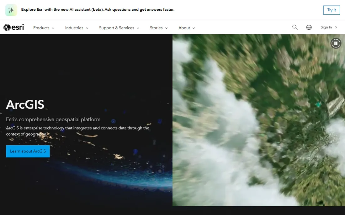
ArcGIS is the standard everything else gets measured against. Desktop analysis in ArcGIS Pro, web maps and apps in ArcGIS Online, field data collection, 3D visualization, real-time analytics: no other vendor covers the full GIS lifecycle this completely. If you work in government, utilities, natural resources or any large organization with an established GIS team, this is probably already the house standard.
The price of completeness is cost and complexity. Licensing is quote-based and grows with named users, and small teams often pay for capability they never touch. Esri's training resources and community are excellent, which softens the learning curve. Choose ArcGIS when the organization needs the whole platform; choose something lighter when it needs one good tool.
What we like- Deepest GIS functionality in the industry
- Huge training and support ecosystem
- ArcGIS Online for cloud sharing
Watch out for- Expensive licensing that scales with users
- Complexity overwhelms small teams
Starting priceFree
Free planYes
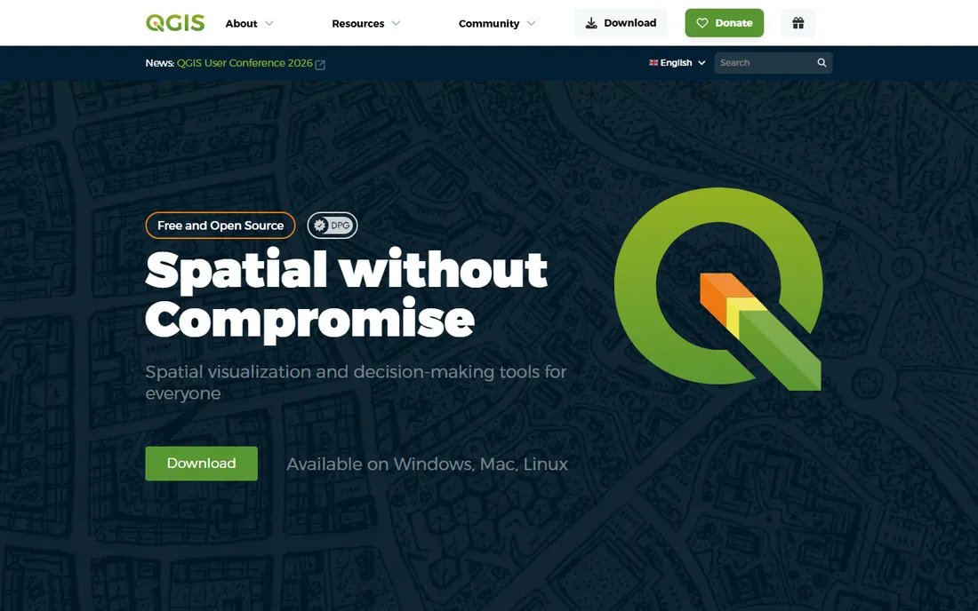
QGIS is the most important free tool in geospatial, full stop. It handles mapping, spatial analysis, geoprocessing, cartography and data editing at a level that embarrasses some commercial products, and the plugin ecosystem extends it into hydrology, remote sensing, 3D and web publishing. Researchers, nonprofits, students and budget-conscious businesses run serious work on it daily.
What you do not get is a vendor to call. Support comes from documentation, forums and paid third-party consultants, which is fine until a production system breaks at the wrong hour. The interface has improved enormously but still feels less refined than ArcGIS Pro. For analysis capability per dollar, nothing touches it.
What we like- Completely free and open source
- Plugin ecosystem rivals commercial tools
- Runs on Windows, Mac and Linux
Watch out for- No vendor support contract
- Interface less polished than ArcGIS Pro
Starting priceSee website (usage-based)
Free planYes
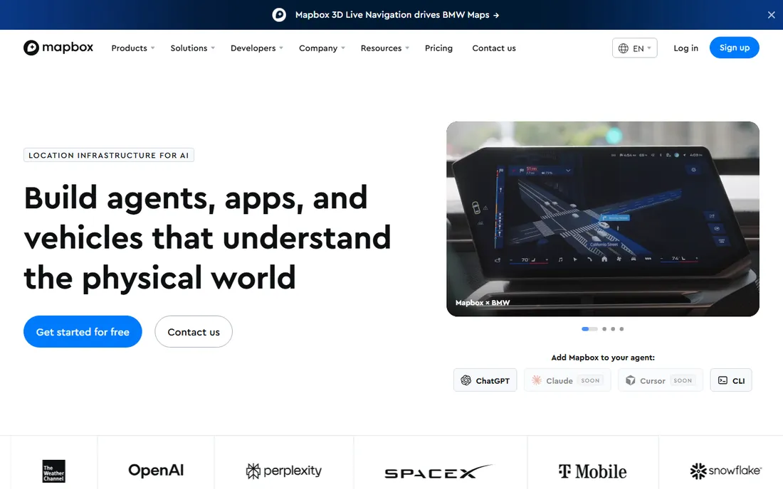
When apps need maps that do not look like everyone else's, developers reach for Mapbox. Vector tiles, custom styling, navigation SDKs, geocoding and search APIs make it the toolkit behind countless delivery apps, real-estate sites and logistics dashboards. The free tier covers meaningful usage, and documentation is among the best in the industry.
Mapbox is a mapping platform, not an analysis platform. It will not replace QGIS or ArcGIS for geoprocessing; it renders and serves location experiences. Pricing is usage-based across map loads, API calls and users, so model your expected volume before committing. For product teams shipping location features, it is the default choice.
What we like- Beautiful customizable vector maps
- Strong SDKs for web, mobile and automotive
- Generous free tier
Watch out for- Usage-based pricing can surprise at scale
- Less of an analysis platform than a mapping platform
Starting priceSee website
Free planFree trial
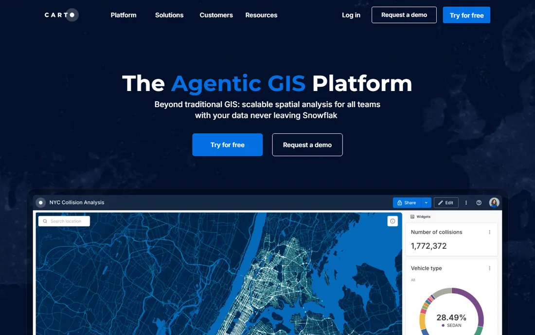
CARTO rebuilt GIS for the cloud data warehouse era. Instead of moving spatial data into a GIS, CARTO runs analysis where the data already lives, in BigQuery, Snowflake, Databricks or Redshift, and visualizes billions of points in the browser. For data teams doing location intelligence at enterprise scale, the architecture removes an entire layer of plumbing.
This is enterprise software with enterprise pricing and a sales-led buying process. If your spatial data is a few shapefiles on a shared drive, CARTO is the wrong tool; QGIS or Maptitude will serve you better. If your organization runs on a modern data stack and location is a company-wide question, it is purpose-built for you.
What we like- Runs inside your data warehouse (BigQuery, Snowflake)
- No ETL needed
- Strong visualization at massive scale
Watch out for- Enterprise pricing
- Overkill if your data lives in files, not warehouses
Starting priceSee website
Free planFree trial
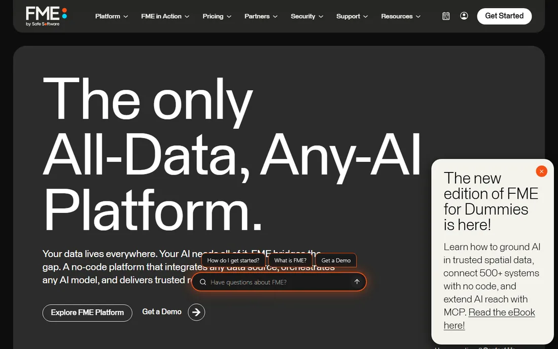
FME, from Safe Software, is the tool GIS professionals mention with genuine affection. It translates, transforms and automates spatial data across hundreds of formats: CAD to GIS, databases to web services, scheduled ETL pipelines that keep enterprise systems in sync. The visual workspace means analysts build integrations without writing code.
It is not cheap, and pricing is quote-based around the FME Form and FME Flow components you need. But organizations that move spatial data between systems daily find it pays for itself in saved engineering time. If your problem is getting data from A to B in the right shape, on schedule, start here.
What we like- Connects hundreds of spatial and non-spatial formats
- No-code visual workflows
- Automation and scheduling built in
Watch out for- Licensed per engine, costs add up for heavy automation
- Learning curve for complex workspaces
Starting priceSee website
Free planFree trial
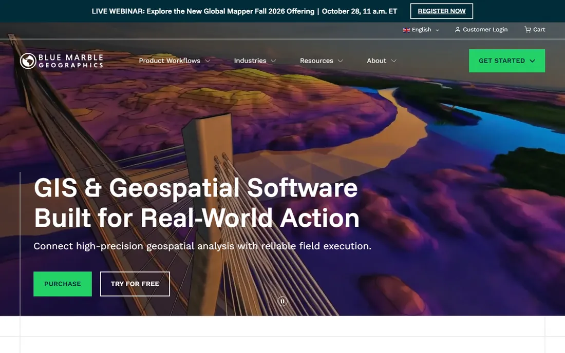
Global Mapper, from Blue Marble Geographics, is the pragmatic pick for anyone working with elevation data, point clouds and imagery. It processes lidar, builds terrain models, handles coordinate conversions through the GeoCalc engine, and costs far less than enterprise GIS. The one-time-style licensing is refreshingly simple next to named-user subscription mazes.
The 2026 homepage shows the product now positioned as part of an office-to-field workflow with Avenza Maps for offline mobile collection, which strengthens it for surveying, forestry and utilities work. It will not match ArcGIS for web publishing or QGIS for plugin variety, but for processing-heavy desktop work it is outstanding value.
What we like- Excellent lidar and terrain processing
- Straightforward licensing
- Pairs with Avenza Maps for field collection
Watch out for- Smaller ecosystem than ArcGIS or QGIS
- Interface shows its age
Starting priceSee website
Free planFree trial
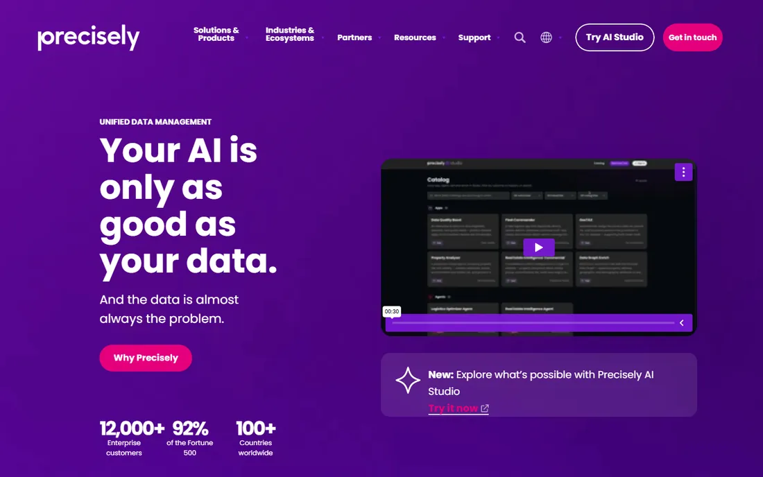
MapInfo Pro, now under Precisely, has served business mappers for decades: site selection, territory management, demographic analysis and market planning. It remains one of the most approachable desktop GIS products for analysts who are not GIS specialists, and Precisely's data assets add demographic and address enrichment that business users actually need.
The product feels its age next to cloud-native competitors, and the community is a fraction of Esri's or QGIS's. But for retail, insurance, banking and real-estate teams doing location analysis on a desktop, it is a known quantity with decades of refinement. Evaluate it against Maptitude if budget matters.
What we like- Long-standing business GIS with strong demographics data
- Approachable for non-GIS specialists
- Precisely data enrichment
Watch out for- Dated feel next to modern web GIS
- Ecosystem smaller than Esri's
Starting priceSee website
Free planYes (limited)
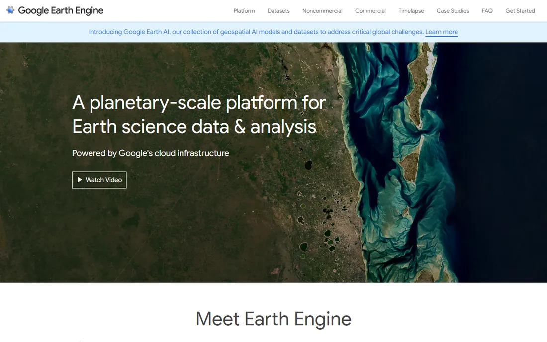
Google Earth Engine does something no desktop GIS can: analyze decades of satellite imagery across the entire planet in minutes, on Google's infrastructure. Environmental monitoring, deforestation tracking, agriculture, climate research: the public data catalog and parallel processing make continental-scale questions answerable from a browser-based code editor.
It is a developer and researcher tool, not a general GIS. You write JavaScript or Python; there is no drag-and-drop map builder. Earth Engine remains free for academic and research use, with commercial use now available under paid terms. If your work involves satellite time series at scale, nothing else is close.
What we like- Multi-petabyte satellite catalog
- Planetary-scale cloud processing
- Free for academic and research use
Watch out for- Code-first (JavaScript/Python), not a point-and-click GIS
- Commercial use now has paid tiers
Starting priceSee website
Free planFree trial
Maptitude, from Caliper, is the value pick in desktop business GIS. It does site analysis, routing, territory design, heat maps and demographic reporting, the core jobs business users buy GIS for, at a price small companies can actually approve. Caliper includes US demographic data with the product, which removes a common hidden cost.
It is a Windows desktop product at heart, so Mac-based teams and anyone needing web apps or APIs should look elsewhere. Within its lane, though, it has four decades of refinement and loyal users in retail, franchising, healthcare and government. The free trial is the right way to judge fit.
What we like- Full-featured desktop GIS at a fraction of enterprise prices
- Includes demographic data
- One-time-style licensing
Watch out for- Windows-focused
- Less suited to web publishing and developer workflows
Starting priceSee website
Free planFree trial
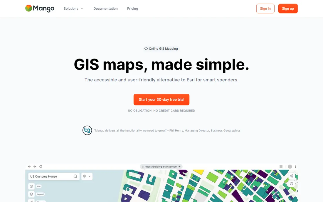
Mango solves a narrow problem well: you have GIS data and need to share it as an interactive web map without running ArcGIS Online. Upload shapefiles or connect existing data, style the map, send a link with access controls. Consultants, small agencies and nonprofits use it to deliver client-facing maps without enterprise infrastructure.
Do not mistake it for a full GIS. Analysis happens elsewhere; Mango is the publishing and sharing layer. Pricing is straightforward and far below Esri, with a 30-day trial. If your deliverable is a map people can explore in a browser, and you do not need editing or analysis online, it is refreshingly simple.
What we like- Publish interactive web maps in minutes
- Simple sharing and permissions
- Fraction of Esri's cost
Watch out for- Not an analysis tool
- Limited customization next to full web GIS
How we chose
We reviewed vendor documentation, pricing pages and product capabilities, then checked them against practitioner discussions and reviews on G2, Capterra and GIS forums. Every product listed is live today with an active development or support story. We weighted fit for small and mid-size organizations alongside enterprise capability, and we distinguished carefully between desktop analysis, web mapping, data integration and developer platforms, since these solve different problems. We did not claim hands-on testing.
Open source vs commercial GIS: an honest comparison
QGIS proves that free software can match commercial GIS for desktop analysis. Where commercial tools pull ahead is everything around the software: support contracts, training catalogs, managed cloud hosting, field apps and guaranteed update roadmaps. An organization running GIS as critical infrastructure often pays for that safety net, not for extra buttons.
The smart middle path is common in 2026: QGIS for analysis, PostGIS for the database, and a commercial or cloud tool only where the open stack has gaps, like field data collection or enterprise web publishing. Audit what you actually use before renewing a big license; many teams discover half the seats barely open the software.
A buying guide for geospatial software
Start from the workflow, not the vendor. Desktop analysis means QGIS, ArcGIS Pro, Global Mapper or Maptitude. Web maps and apps mean ArcGIS Online, Mango, Mapbox or CARTO. Data pipelines mean FME. Satellite time series means Earth Engine. Buying one product to do all four jobs is how organizations overspend.
Then count the real users and their skills. Named-user licensing punishes casual users, so map licenses to people who open the software weekly. A team of analysts needs depth; a team of executives needs a shared web map. Training costs are real too: budget time for learning, whatever you buy.
Finally, test with your own data before committing. Every vendor on this list offers a trial or a free tier. Load a real project, run a real analysis, publish a real map, and measure how long each step takes. The tool that handles your data gracefully in week one is the tool your team will still use in year two.
Frequently asked questions
What is the best free GIS software?
QGIS is the best free desktop GIS, matching commercial tools for analysis and mapping. Google Earth Engine is free for academic and research use for satellite analysis. Mapbox offers a generous free tier for developer mapping projects.
What is the difference between GIS and geospatial software?
GIS (geographic information systems) traditionally means software for capturing, analyzing and mapping geographic data, like ArcGIS and QGIS. Geospatial software is the broader category, including mapping APIs, location intelligence platforms and satellite analysis tools like Mapbox, CARTO and Earth Engine.
Is ArcGIS better than QGIS?
ArcGIS offers a more complete enterprise platform: web publishing, field apps, managed cloud and vendor support. QGIS matches or nears it for desktop analysis at zero license cost. Organizations choose ArcGIS for the ecosystem and support; individuals and small teams often get everything they need from QGIS.
How much does geospatial software cost?
It ranges from free (QGIS) to quote-based enterprise licenses (ArcGIS, CARTO). Mid-range desktop tools like Global Mapper and Maptitude cost hundreds to low thousands per license. Developer platforms like Mapbox use usage-based pricing, and data integration tools like FME are quote-based.
Which geospatial tool is best for web maps?
For simple shared web maps, Mango is the fastest route. For custom-branded interactive maps in products, Mapbox leads. For enterprise web GIS with analysis, ArcGIS Online and CARTO are the standards. Match the choice to who builds and who views.
Can I learn GIS without a degree?
Yes. QGIS is free, and Esri, CARTO and Mapbox all publish extensive tutorials and documentation. Many working GIS analysts are self-taught. Start with a real project, like mapping data you care about, and learn the tools around it.
Sources we checked (12)
- https://www.esri.com
- https://qgis.org/
- https://mapbox.com/
- https://carto.com/
- https://fme.com
- https://bluemarblegeo.com/
- https://www.precisely.com/
- https://earthengine.google.com
- https://caliper.com/
- https://mangomap.com
- https://www.spotsaas.com/list/geocodio-free-alternative
- https://www.spotsaas.com/list/arcgis-instant-apps-free-alternative
Is your product missing or out of date?
We review this list regularly. Vendors can request a listing, send updated pricing or ask about featured placement.

Shihab Mia · Founder, Rankite
Shihab has spent more than a decade helping SaaS and e-commerce brands grow through search. He writes Rankite's software buying guides from pricing pages, documentation and public user reviews. More about Shihab.