How we make this list: we compare pricing pages, product documentation and public user reviews. Rankite is independent; if a vendor ever pays for a featured spot, that listing is clearly labeled Partner.
Key takeaways
- Drone software falls into three buckets: flight apps that control the drone, mapping platforms that turn photos into data, and airspace apps that keep you legal.
- DJI Fly is the free starting point for most pilots, while Litchi and Dronelink add waypoint missions and automation DJI does not offer.
- DroneDeploy and Pix4D dominate professional mapping; WebODM gives you comparable photogrammetry for free if you can run it yourself.
- Aloft and Air Aware (the app formerly known as B4UFLY) are free and essential for checking airspace and LAANC authorizations before every US flight.
- UAV Forecast answers the simplest pre-flight question: is the weather good enough to fly today.
Quick comparison
| Tool | Best for | Starting price | Free plan |
|---|
 DJI Fly DJI Fly | flying DJI consumer drones | Free | Yes |
 Litchi Litchi | waypoint missions and autonomous DJI flights | See website | No |
 Dronelink Dronelink | detailed mission planning across drone brands | See website | Free trial |
 DroneDeploy DroneDeploy | cloud-based mapping for construction and enterprise | See website | Free trial |
 Pix4D Pix4D | survey-grade photogrammetry and measurement | See website | Free trial |
 WebODM WebODM | free drone mapping on your own hardware | Free | Yes |
 Aloft Aloft | airspace authorization and fleet management | Free | Yes |
 Air Aware Air Aware | fast situational awareness before takeoff | Free | Yes |
 UAV Forecast UAV Forecast | go or no-go weather decisions | Free | Yes |
Is your product missing or out of date?
We review this list regularly. Vendors can request a listing, send updated pricing or ask about featured placement.
The best drone software
Starting priceFree
Free planYes
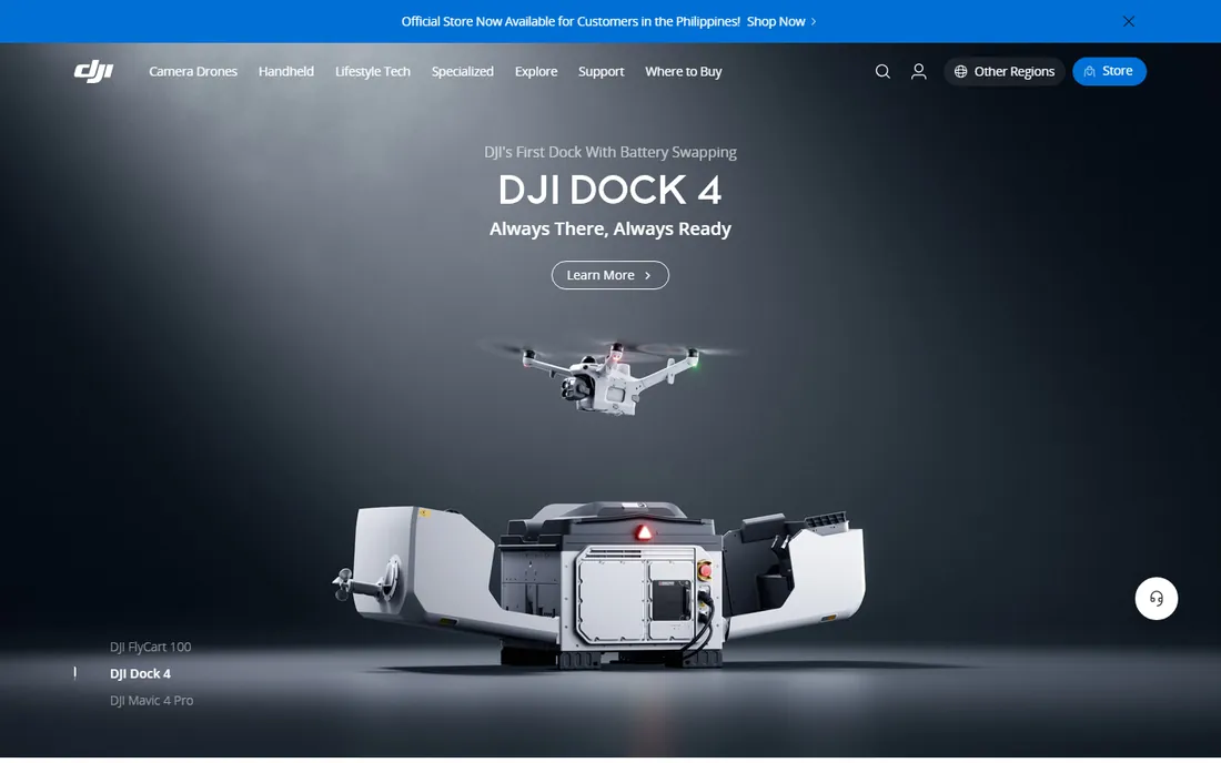
DJI Fly is the app most drone owners already have. It pairs with DJI's consumer and prosumer drones, handles takeoff, camera settings and flight modes, and stays simple enough that a first-time pilot can be airborne in minutes. For recreational flying and basic aerial photos, it is all many people ever need.
The limits show up fast for commercial work. Waypoint missions are basic or absent depending on the model, and there is no real mapping workflow. That is exactly why the third-party flight apps below exist. But as the free default that ships with the world's most popular drones, DJI Fly is the baseline every other app gets compared to.
What we like- Free and designed for DJI hardware
- Simple interface for beginners
- Includes basic quick-shot flight modes
Watch out for- Limited waypoint and mapping features
- Only works with DJI drones
Starting priceSee website
Free planNo
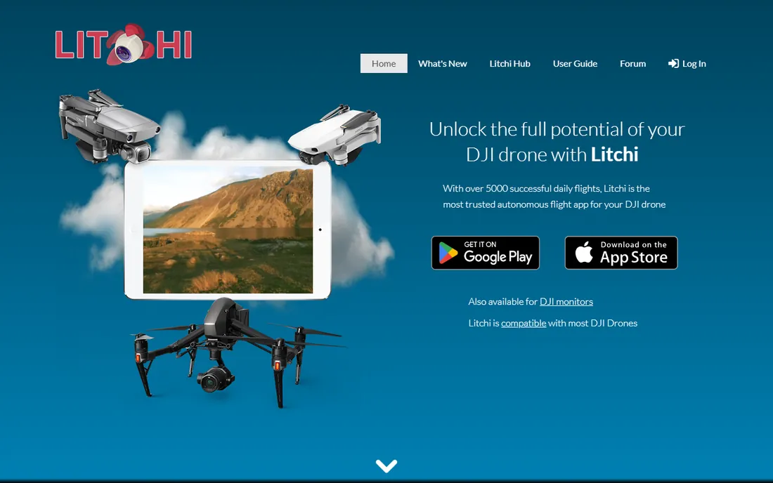
Litchi is what DJI Fly should have been for ambitious pilots. Its waypoint engine lets you plan complex autonomous missions on any device, with smooth curved flight paths that produce cinematic footage no manual pilot can match. Focus mode handles gimbal and yaw while you steer, Track mode follows subjects with computer vision, and every flight logs automatically to Airdata for post-flight review.
It is a paid app, and new DJI models sometimes wait months for SDK support before Litchi can control them. But for real estate videography, inspection work and anyone who wants repeatable autonomous flights, it remains the most trusted third-party flight app, with thousands of successful daily missions behind it.
What we like- The most polished waypoint mission planner for DJI
- Focus, track, panorama and VR modes
- Missions sync across phone, tablet and desktop
Watch out for- Paid app with no free tier
- Compatibility depends on DJI's SDK support for each drone model
Starting priceSee website
Free planFree trial
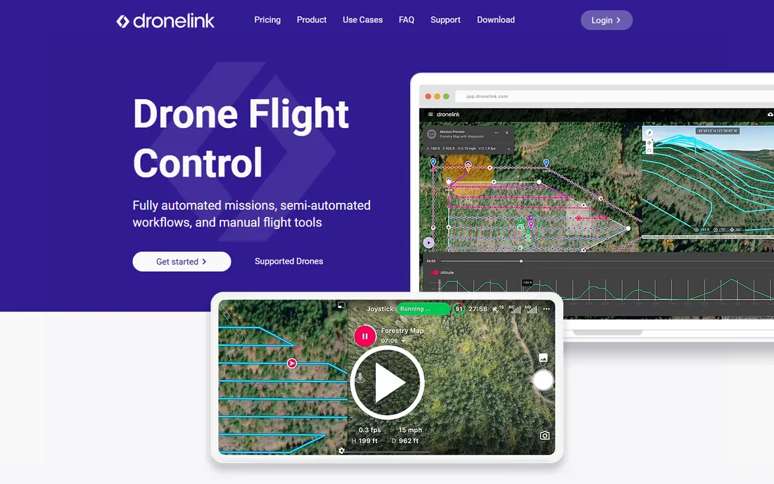
Dronelink treats flight planning as engineering. You can combine mapping grids, orbits, linear flights and facade scans into one mission, preview the whole thing in 3D, and control every camera parameter along the way. It runs on web, iOS, Android and screened controllers under one account, and it supports Autel drones alongside DJI, which Litchi does not.
That power comes with complexity. Casual pilots will find the component-based mission builder intimidating next to Litchi's simpler waypoints. But for mapping professionals, inspectors and public safety teams who need precise, repeatable data capture, Dronelink's granularity is the point. Plans are subscription-based with a money-back guarantee.
What we like- Works with DJI and Autel drones
- Deep control over mapping grids, orbits and camera settings
- Web-based planning with 3D previews
Watch out for- The depth of options overwhelms casual users
- Best features sit behind paid plans
Starting priceSee website
Free planFree trial
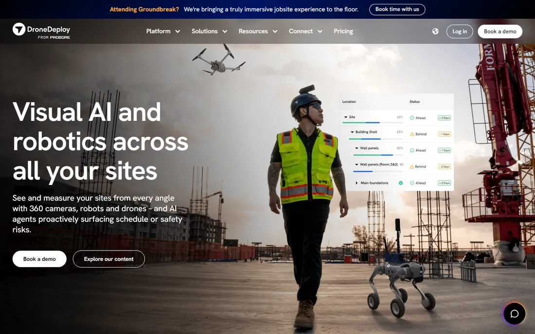
DroneDeploy turned drone mapping into a cloud service. Fly a site with the mobile app, upload the images, and get back orthomosaics, 3D models, elevation data and progress comparisons without owning a workstation. Construction firms use it to track earthworks, verify subcontractor progress and document sites, with AI features that flag schedule and safety risks.
The company reports usage across 3 million sites in 180 countries, which explains the enterprise pricing and sales-led buying process. Solo operators and small survey firms often find Pix4D or WebODM more economical. But for teams that need collaboration, historical site records and fleet management in one place, DroneDeploy is the reference platform.
What we like- End-to-end capture-to-map workflow in the cloud
- Strong progress tracking and measurement tools
- Used on 3 million sites in 180 countries
Watch out for- Enterprise pricing far above hobbyist budgets
- Ongoing subscription required
#5
Pix4D
Best for: survey-grade photogrammetry and measurement
Visit pix4d.com
Starting priceSee website
Free planFree trial
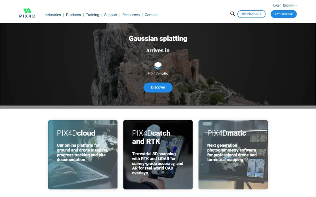
Pix4D is the surveyor's choice for turning drone photos into measurements you can stake a project on. Its photogrammetry engine produces orthomosaics, point clouds and 3D meshes with accuracy that stands up to ground control points, and the product family spans PIX4Dmapper, PIX4Dmatic, PIX4Dcloud and PIX4Dfields for agriculture.
Pricing reflects the professional audience: desktop products run into thousands of dollars per year. The tradeoff is precision and a workflow that integrates with surveying tools like total stations and RTK GPS. If your deliverable is a legal survey or an engineering-grade model, Pix4D is built for exactly that. If you need good maps without the certification, look at DroneDeploy or WebODM.
What we like- Highly accurate processing trusted by surveyors
- Product line covers mapping, agriculture and inspection
- Works with images from any drone or camera
Watch out for- Pricing is steep for individuals
- The product lineup takes study to navigate
Starting priceFree
Free planYes
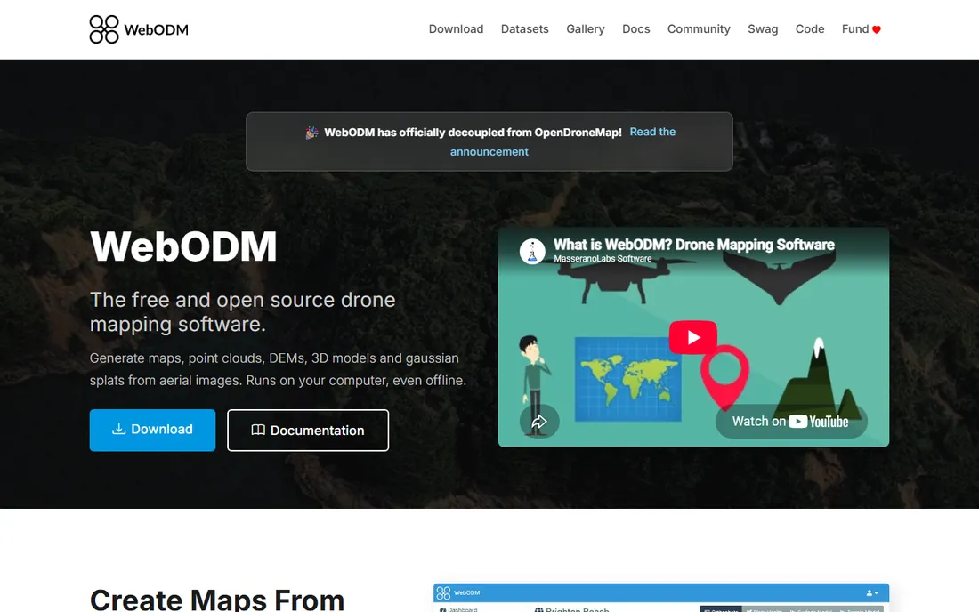
WebODM is the open-source answer to expensive mapping subscriptions. Drop in photos from any drone and it builds georeferenced orthophotos, elevation models, point clouds and textured 3D models on your own machine, even offline. The project claims results comparable to proprietary alternatives, with 4,200-plus GitHub stars and a decade of development behind it.
The catch is that you are the IT department. Processing large datasets wants a strong CPU and plenty of RAM, and there is no support line when something fails. But for researchers, nonprofits, students and small operators with more time than budget, WebODM delivers the core mapping workflow for the price of electricity.
What we like- Completely free and open source
- Produces orthomosaics, point clouds, DEMs and 3D models
- Runs offline on your own computer
Watch out for- You supply the computing power and troubleshooting
- Interface less polished than commercial rivals
#7
Aloft
Best for: airspace authorization and fleet management
Visit aloft.ai
Starting priceFree
Free planYes
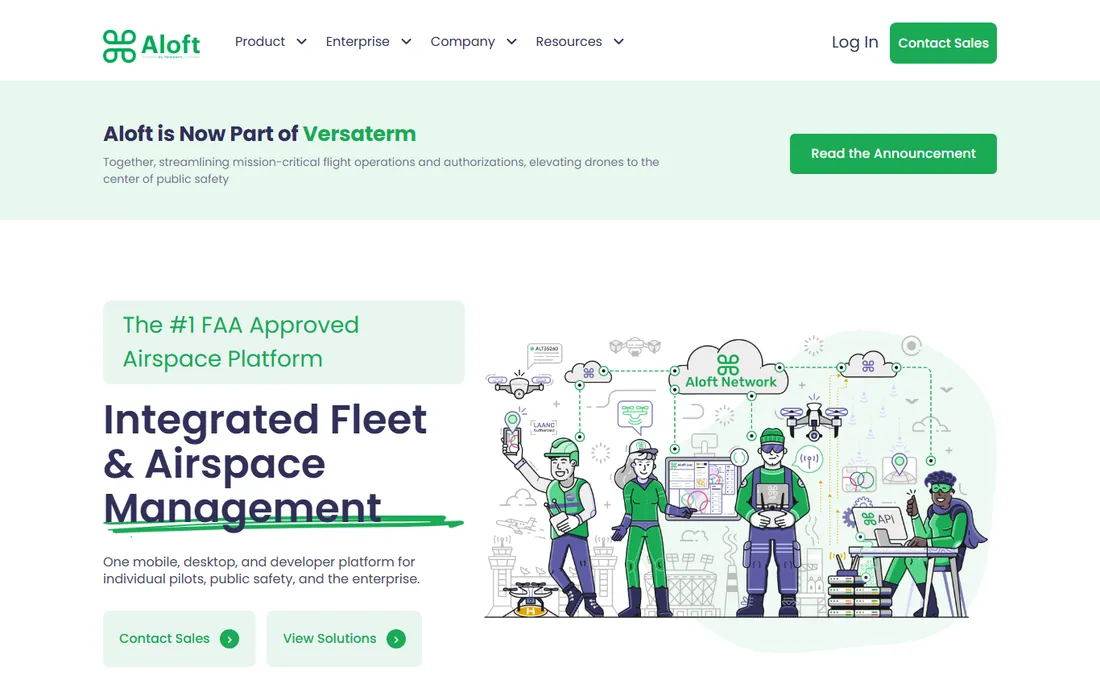
Aloft (formerly Kittyhawk) runs the airspace side of drone operations. Individual pilots use it free to check airspace, see safety advisories and request LAANC authorizations to fly in controlled airspace near airports, often approved in near real time. Enterprises get fleet management, user controls, reporting and API integrations on the same platform.
Every US commercial pilot needs LAANC access, and Aloft is one of the main free doors to it. The company also powers the B4UFLY platform's data network. If you fly for work, Aloft belongs on your phone next to your flight app; the pre-flight airspace check takes seconds and keeps you legal.
What we like- Free LAANC authorizations for individual pilots
- FAA-recognized airspace data
- Fleet tools for enterprise programs
Watch out for- The full platform targets organizations
- Individual features overlap with Air Aware
Starting priceFree
Free planYes
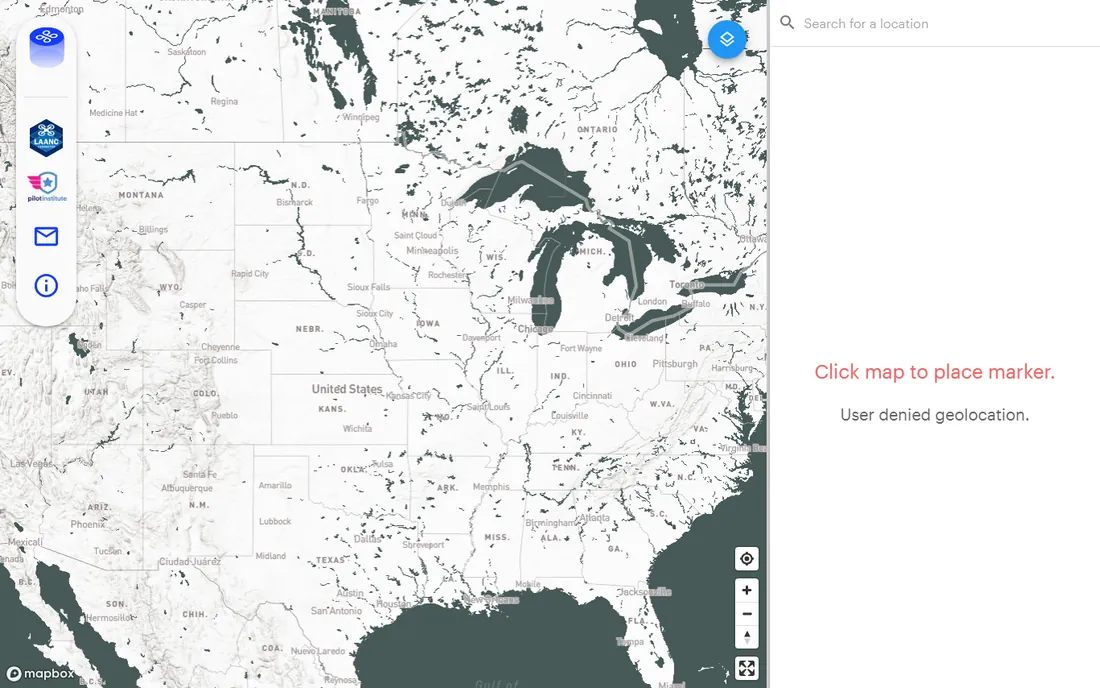
Air Aware is the current name for the situational awareness tool that grew out of the B4UFLY program, running on Aloft's airspace platform at its long-standing web address. Open it, drop a marker, and see controlled airspace, restrictions and advisories around your flight location. It is the fastest way to answer "can I fly here" before you leave the house.
It does not replace a full operations platform, and serious commercial programs will still want Aloft's fleet tools or a competitor. But for recreational pilots and as a second opinion for pros, a free airspace check with FAA-recognized data is something every pilot should use on every flight.
What we like- Free and instant airspace picture
- Built on Aloft's FAA-approved data
- No account friction for a quick check
Watch out for- Focused on awareness rather than fleet workflows
- Web-first experience
Starting priceFree
Free planYes
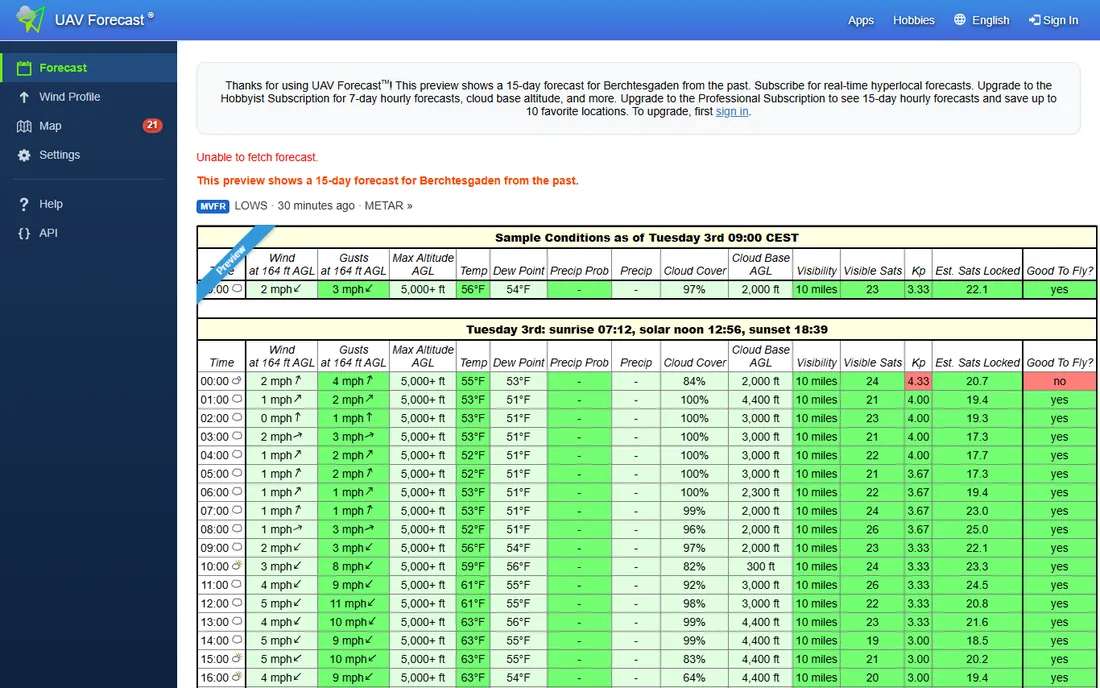
UAV Forecast answers the question pilots ask every morning: is it safe to fly today. It combines wind speed and gusts, temperature, precipitation probability, cloud cover, visibility and GPS satellite conditions into a simple fly or no-fly readout, with hourly detail for planning the day's missions.
It will not fly your drone or process your maps. It is a pre-flight ritual, and a valuable one: wind is the most common reason flights go wrong, and general weather apps do not speak in knots at 400 feet. We could not load the site's content during verification, so confirm the address in your own browser, but the app itself is a long-standing staple of the drone community.
What we like- Weather data translated into drone-specific guidance
- Covers wind, gusts, precipitation and GPS satellites
- Free apps for iOS and Android
Watch out for- A planning aid, not a flight controller
- Website content could not be verified in our check
How to pick the right drone app
Start with what happens before the drone leaves the ground. Every flight in the US should begin with an airspace check in Aloft or Air Aware and a weather check in UAV Forecast. These are free, take two minutes, and separate responsible pilots from the ones making headlines.
Then match the flight app to your mission. Recreational flying and simple photos: DJI Fly is free and fine. Repeatable cinematic flights and waypoint missions: Litchi. Complex mapping, inspection or multi-drone-brand operations: Dronelink. The flight app and the mapping platform are separate purchases, so budget for both if you map professionally.
For the mapping step, be honest about volume. A few maps a month: WebODM on your own computer costs nothing but time. Weekly client deliverables with collaboration: DroneDeploy or Pix4D earn their subscriptions. Survey-grade accuracy requirements: Pix4D with ground control. And whatever you choose, confirm your drone model is supported before paying, since SDK support varies by manufacturer and model year.
How we chose
We focused on the apps working pilots actually use: flight control, mission planning, photogrammetry and airspace safety. We checked each vendor's site to confirm the product is live in 2026, read documentation and pricing pages, and weighed public feedback from drone forums, G2, Capterra and app stores. We did not fly any test missions; the assessments reflect documented features and community reputation.
You can run a competent drone operation without paying for software. DJI Fly flies the drone, WebODM processes the maps, Aloft and Air Aware handle airspace, and UAV Forecast handles weather. That stack costs nothing and covers recreational flying plus light commercial mapping.
Paid tools buy you time and polish. Litchi's waypoint engine saves hours of manual flying. Dronelink's planning depth cuts rework on complex missions. DroneDeploy and Pix4D turn days of processing into an upload-and-wait workflow with collaboration built in. The rule of thumb: pay when the software saves billable hours or wins you jobs the free stack cannot.
One more cost to budget: the drone itself is only the start. Batteries, ND filters, a landing pad, insurance and possibly a Part 107 study course all come before software in the spending order for a new commercial pilot.
Frequently asked questions
What is the best drone app for beginners?
DJI Fly, free with DJI drones, is the natural start. Add UAV Forecast for weather and Aloft or Air Aware for airspace checks. That trio covers safe, legal recreational flying at no cost.
What is the best drone mapping app?
For professionals, DroneDeploy and Pix4D lead on features and accuracy. WebODM is the best free drone mapping app, producing orthomosaics and 3D models on your own computer at no cost.
Do I need LAANC authorization to fly a drone?
In the US, yes, when flying in controlled airspace around airports, even recreationally. Aloft provides free LAANC authorizations with near-real-time approval, and Air Aware shows where authorization is required.
Can Litchi fly waypoints with any DJI drone?
No. Litchi depends on DJI's SDK, and newer models sometimes wait months for support. Check Litchi's compatibility list for your specific drone before buying.
Is WebODM really comparable to DroneDeploy?
For core photogrammetry output, many users say yes. The difference is workflow: DroneDeploy is cloud-based with collaboration and support, while WebODM runs on your hardware and you handle everything yourself.
What happened to the B4UFLY app?
The situational awareness tool from the B4UFLY program now lives on as Air Aware, running on Aloft's airspace platform at its familiar web address. Aloft continues to provide LAANC services and fleet management under its own name.
Sources we checked (11)
- https://www.dji.com
- https://flylitchi.com
- https://www.dronelink.com
- https://dronedeploy.com/
- https://pix4d.com/
- https://webodm.org/
- https://www.aloft.ai
- https://b4ufly.aloft.ai
- https://www.uavforecast.com
- https://www.itechguides.com/best/photogrammetry-software/
- https://sourceforge.net/software/compare/DroneDeploy-vs-Litchi-vs-Pix4D/
Is your product missing or out of date?
We review this list regularly. Vendors can request a listing, send updated pricing or ask about featured placement.

Shihab Mia · Founder, Rankite
Shihab has spent more than a decade helping SaaS and e-commerce brands grow through search. He writes Rankite's software buying guides from pricing pages, documentation and public user reviews. More about Shihab.