How we make this list: we compare pricing pages, product documentation and public user reviews. Rankite is independent; if a vendor ever pays for a featured spot, that listing is clearly labeled Partner.
Key takeaways
- Esri ArcGIS is the enterprise standard for geospatial analysis and mapping.
- CARTO brings location intelligence to cloud data warehouses with a modern analytics approach.
- Mapbox is the developer choice for custom maps, with a generous free tier.
- SafeGraph, Unacast and Foursquare sell the location data itself: foot traffic, places and movement patterns.
Quick comparison
| Tool | Best for | Starting price | Free plan |
|---|
 Esri ArcGIS Esri ArcGIS | Enterprise geospatial analysis | See website | Free trial |
 CARTO CARTO | Cloud-native spatial analytics | See website | Free trial |
 Mapbox Mapbox | Custom developer maps | See website | Free plan |
 Precisely Precisely | Location data and enrichment | See website | No |
 Alteryx Alteryx | Spatial analytics in workflows | See website | Free trial |
 SafeGraph SafeGraph | Places and foot traffic data | See website | Free trial |
 Unacast Unacast | Human mobility data | See website | No |
 Foursquare Foursquare | Location data and places API | See website | No |
 Radar Radar | Geofencing and location APIs | See website | Free plan |
Is your product missing or out of date?
We review this list regularly. Vendors can request a listing, send updated pricing or ask about featured placement.
The best location intelligence software
Starting priceSee website
Free planFree trial
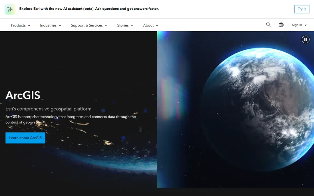
Esri's ArcGIS is the geographic information system the industry is built on: mapping, spatial analysis, field data collection and location analytics at enterprise scale. Governments, utilities, retailers and logistics companies run site selection, territory planning and asset management on it. The user community and training resources are unmatched.
Licensing is complex and costs are enterprise-grade. Casual users face a real learning curve. For organizations where location analysis is a core function, ArcGIS is the standard everything else is measured against.
What we like- Deepest GIS capability
- Huge user community
- Proven across industries
Watch out for- Complex licensing
- Steep learning curve
Starting priceSee website
Free planFree trial
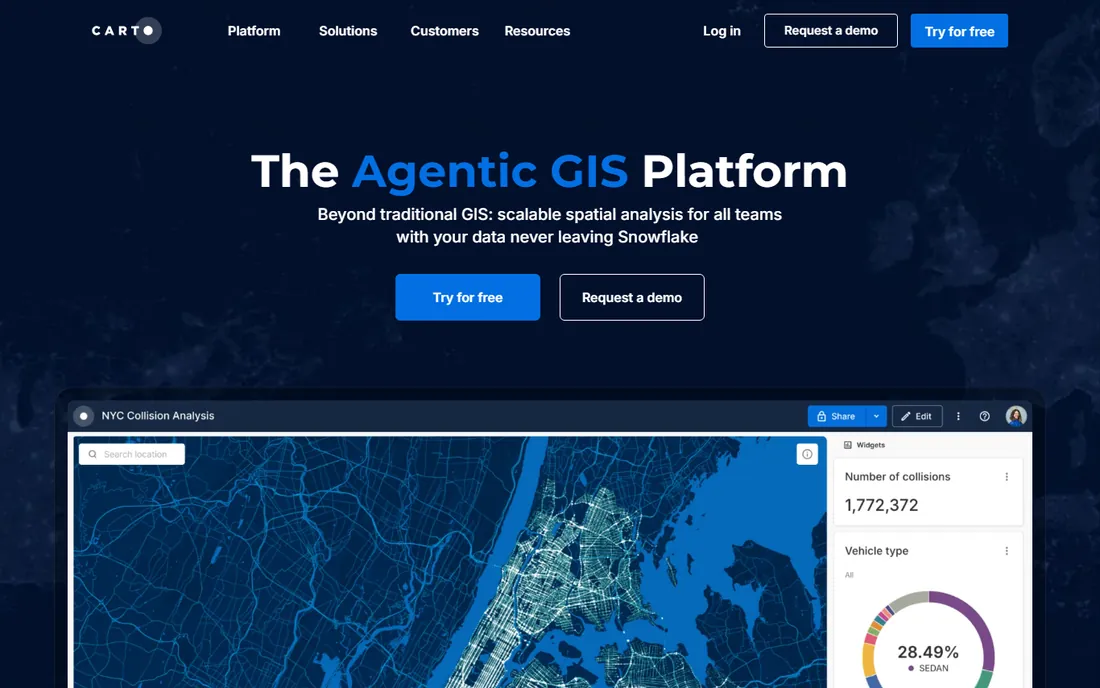
CARTO rebuilt location intelligence for the cloud data era: spatial analytics that run natively in Snowflake, BigQuery and Databricks, with a modern interface data teams actually enjoy. Site selection, network planning and geomarketing analyses happen where the data already lives.
Traditional GIS depth trails Esri, and pricing is usage-based. For data teams that want spatial analytics without a separate GIS stack, CARTO's warehouse-native approach is the modern choice.
What we like- Runs inside cloud data warehouses
- Modern analytics UX
- Good for data teams
Watch out for- Less deep than ArcGIS for traditional GIS
- Usage-based pricing
Starting priceSee website
Free planFree plan
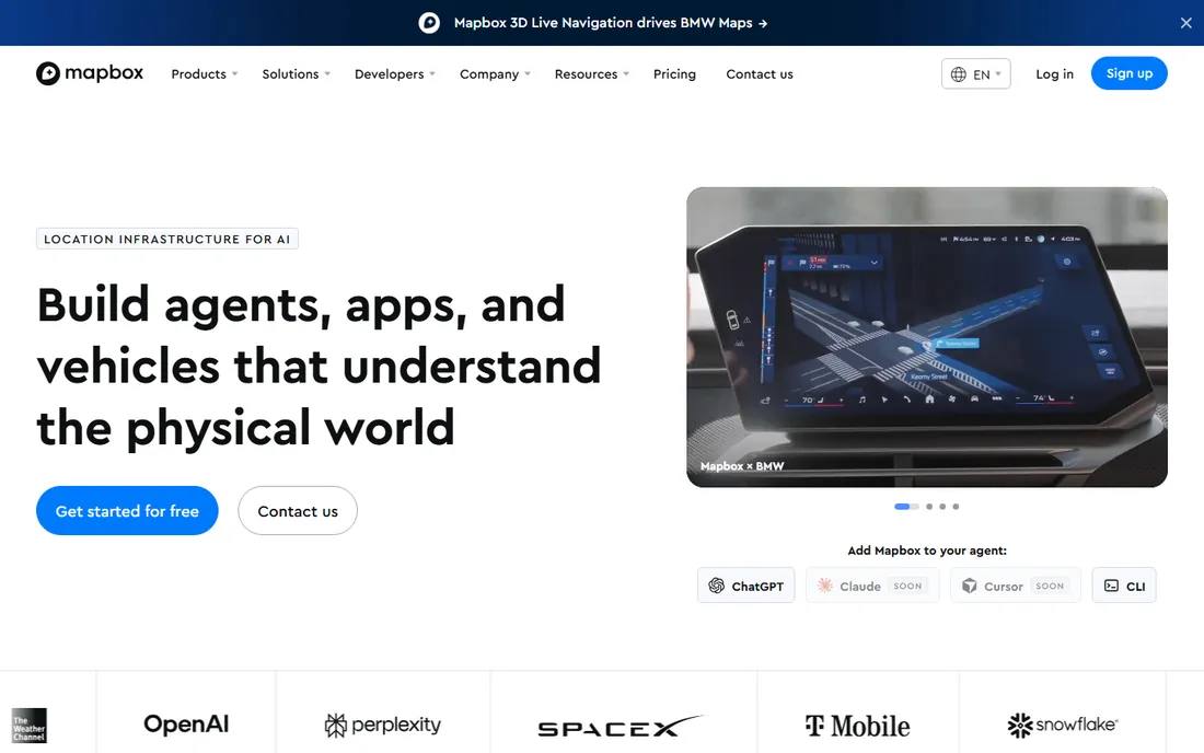
Mapbox gives developers the building blocks for custom maps: gorgeous base maps, geocoding, directions, and location search via clean APIs. The free tier covers substantial usage, which is why startups and indie developers default to it.
It is a mapping platform, not an analytics suite; spatial analysis depth is thinner. For product teams embedding maps and location features in apps, Mapbox's developer experience is the best in the business.
What we like- Beautiful customizable maps
- Strong developer tools
- Generous free tier
Watch out for- Usage costs scale
- Analytics less deep than CARTO or Esri
Starting priceSee website
Free planNo
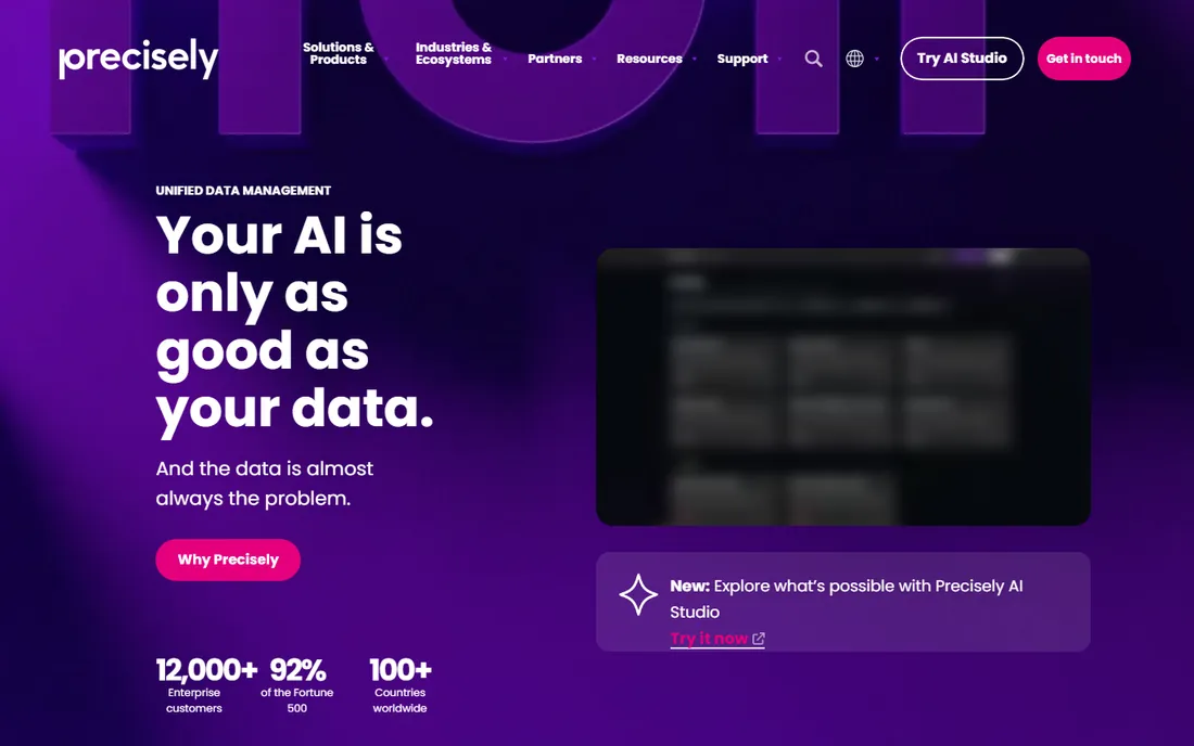
Precisely (formed from Pitney Bowes software and others) provides the location data enterprises build on: verified addresses, geocodes, boundaries, demographics and points of interest. Data quality and enrichment APIs serve insurance, retail, telecom and government at scale.
Pricing is enterprise and the products need integration effort. For organizations where address accuracy and location enrichment are mission-critical, Precisely's data pedigree matters.
What we like- Authoritative address and boundary data
- Data enrichment at scale
- Enterprise trust
Watch out for- Enterprise pricing
- Data products need integration work
Starting priceSee website
Free planFree trial
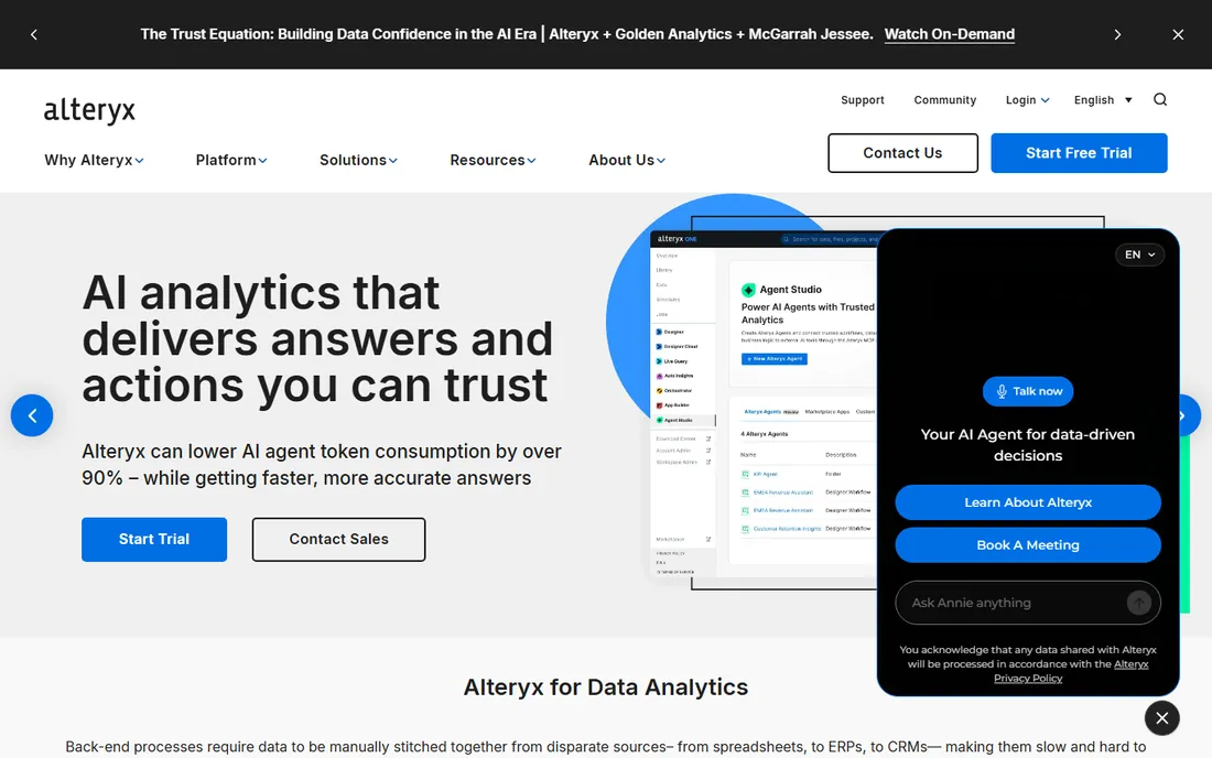
Alteryx brings spatial analytics into its drag-and-drop workflow platform: trade area analysis, drive-time polygons, spatial joins and demographic enrichment without code. Business analysts who live in Alteryx add location intelligence to existing workflows.
Pricing is premium and the platform retains desktop roots. For analytics teams already on Alteryx, the spatial tools extend what they do rather than requiring a new platform.
What we like- Drag-and-drop analytics with spatial tools
- No-code friendly
- Strong data prep
Watch out for- Premium pricing
- Desktop heritage in a cloud world
Starting priceSee website
Free planFree trial
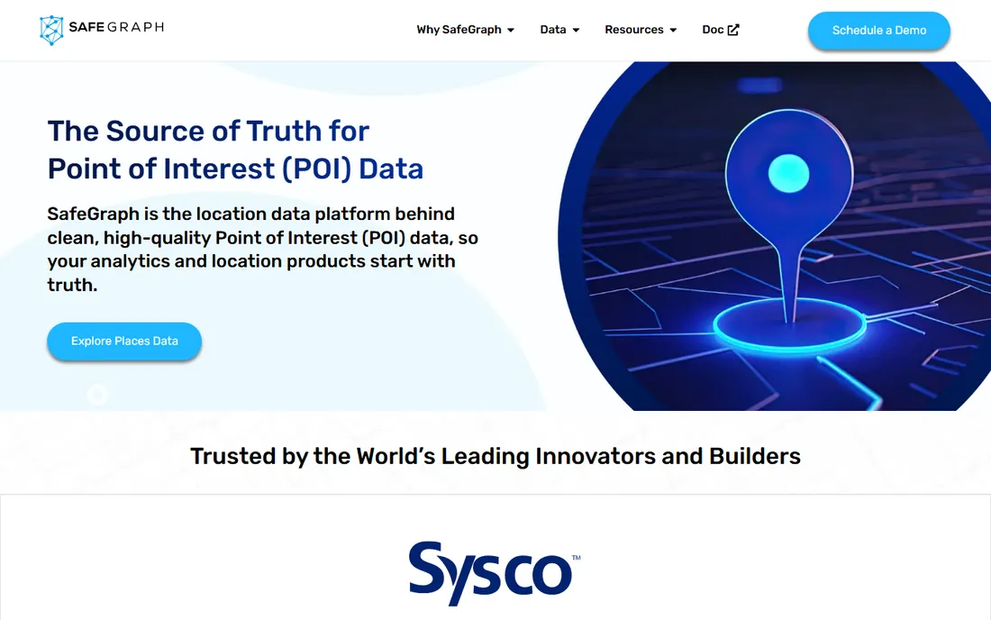
SafeGraph sells places data: points of interest with foot traffic patterns, visitor demographics and movement insights. Retailers, investors and researchers use it for site selection, competitive analysis and market sizing. The data is the product; you bring the analytics.
Pricing scales with data volume and use case. For teams that need ground-truth foot traffic data rather than mapping tools, SafeGraph is the leading independent source.
What we like- Rich POI and foot traffic data
- Places API
- Used for site selection research
Watch out for- Data product, not analytics software
- Pricing by data volume
Starting priceSee website
Free planNo
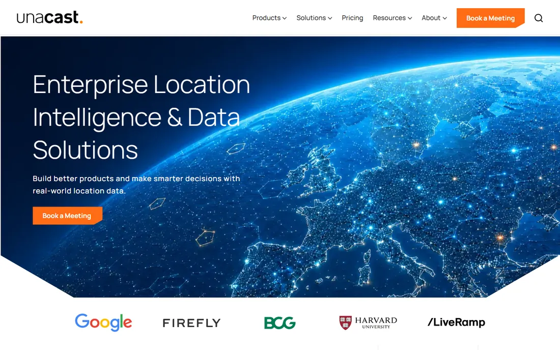
Unacast provides human mobility data: where people go, how areas perform, how movement patterns change. Retail site selection, real estate investment and out-of-home advertising measurement are its core uses. The company emphasizes privacy-compliant data sourcing.
Like SafeGraph, it sells data rather than software. Pricing is enterprise. For location decisions driven by real movement data, Unacast's datasets are purpose-built.
What we like- High-quality mobility datasets
- Retail and real estate focus
- Privacy-conscious approach
Watch out for- Data-only offering
- Enterprise pricing
Starting priceSee website
Free planNo

Foursquare (the company behind the places technology, distinct from its consumer app history) offers location data, places APIs and visit attribution. The Pilgrim SDK detects real-world visits for apps, and the places database powers countless location features. Advertisers use it for foot traffic attribution.
The enterprise data business is separate from the consumer app legacy. Pricing is quote-based. For apps needing visit detection or places data at scale, Foursquare's technology is proven.
What we like- Massive places database
- Pilgrim SDK for visit detection
- Advertising applications
Watch out for- Enterprise focus
- Consumer brand history confuses buyers
Starting priceSee website
Free planFree plan
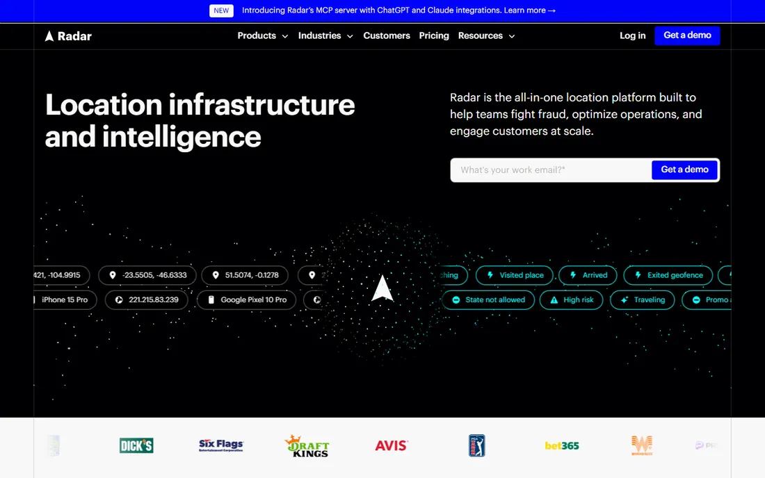
Radar offers location APIs with geofencing at the center: define geographic boundaries, detect entries and exits, trigger messages or workflows. Developers build location-aware features (arrival notifications, store mode, fraud checks) without GIS expertise. The free tier covers meaningful usage.
It is an API platform, not an analytics suite. For product teams adding geofencing and location context to apps, Radar's simplicity beats enterprise GIS.
What we like- Developer-friendly geofencing
- Generous free tier
- Fraud and compliance use cases
Watch out for- Narrower than full GIS platforms
- Usage-based costs at scale
Data vs software: what are you buying?
Location intelligence splits into platforms (Esri, CARTO, Mapbox, Alteryx, Radar) that analyze and visualize, and data providers (SafeGraph, Unacast, Foursquare, Precisely) that sell the underlying location data. Most real projects need both: data in, platform analysis out. Budget for both, and confirm the data licensing covers your use case (internal analysis vs customer-facing products differ).
Site selection: the classic use case
Retail site selection combines demographics, foot traffic, competitor locations, drive-time analysis and cannibalization modeling. Esri and CARTO handle the analytics; SafeGraph and Unacast supply the movement data. The winning approach pairs a platform with quality data rather than expecting one vendor to do everything. Pilot with two candidate sites before committing to a methodology.
Data privacy and compliance in location intelligence
Location data is among the most sensitive data a business can handle, because movement patterns reveal where people live, work, worship and seek medical care. The regulatory environment reflects this sensitivity and keeps tightening. GDPR in Europe treats location as personal data requiring a lawful basis and explicit consent for many uses. US state laws (CCPA/CPRA in California and followers) grant consumers rights to know, delete and opt out of the sale of location information. Using location intelligence without a compliance framework is not just risky; in many jurisdictions it is simply illegal. Every location project should start with legal review, not end with it.
Consent and sourcing are the first questions for any location dataset. Reputable providers obtain data through apps with clear location permissions and offer user opt-outs; ask every vendor to explain their consent chain in detail. Vague answers are disqualifying. Understand the difference between the data types: aggregated foot traffic (counts of visits, no individuals) carries far less risk than device-level movement histories. Prefer aggregated data wherever it answers the business question; reserve individual-level data for use cases that genuinely require it and can justify the compliance burden. Document the lawful basis for each use case before analysis begins, not after someone asks.
Anonymization is harder than vendors imply. Research repeatedly shows that a handful of location points can re-identify individuals in supposedly anonymous datasets. Treat all location data as potentially re-identifiable and protect it accordingly: limit access to named analysts, prohibit attempts at re-identification contractually and technically, and aggregate to minimum thresholds (no reporting on areas or groups small enough to isolate individuals). When publishing or sharing location insights externally, use differential privacy techniques or heavy aggregation. The standard to meet is not "we removed names" but "re-identification is not reasonably possible." Most off-the-shelf datasets need additional safeguards before they meet that bar.
Purpose limitation keeps projects honest. Data collected for site selection should not quietly flow into employee monitoring or customer surveillance. Define the permitted purposes for each dataset in writing, enforce them through access controls, and review them when projects evolve. This discipline also simplifies compliance: a dataset with one documented purpose is easy to defend; a dataset sloshing around the organization is not. Maintain a data inventory listing every location dataset, its source, its consent basis, its permitted purposes and its retention period. Regulators increasingly expect exactly this documentation, and producing it on demand beats reconstructing it during an investigation.
Retention and deletion complete the framework. Location data should not accumulate indefinitely; define retention periods tied to the business purpose (site selection analyses rarely need raw data beyond a year or two) and delete automatically when they expire. Honor deletion requests promptly across all copies, including backups and derived datasets, which is operationally harder than it sounds. Build the deletion capability before you need it. Finally, watch the regulatory horizon: location privacy laws are expanding, not contracting, and today's compliant practice may need strengthening tomorrow. Assign ownership of location data governance to a specific person or team, and review the framework annually. In location intelligence, trust is the product; a privacy failure destroys more value than any analysis creates.
Frequently asked questions
What is location intelligence software?
Software that analyzes business data through a geographic lens: where customers are, where competitors sit, which locations perform, and where to expand. It combines maps, demographics, mobility data and spatial statistics.
How much does location intelligence software cost?
Mapbox and Radar have generous free tiers with usage-based pricing above. CARTO and Alteryx are quote-based. Esri licensing is enterprise and complex. Data providers (SafeGraph, Unacast, Precisely) price by data volume and use case.
Do I need GIS expertise to use these tools?
For Esri, yes, real expertise helps. CARTO, Alteryx and Mapbox are accessible to data analysts and developers. Radar needs only API skills. Match the tool to your team's skills.
What is foot traffic data?
Anonymized records of visits to physical locations, derived from mobile devices. Retailers use it to measure store performance, compare against competitors and pick new sites. SafeGraph and Unacast are leading providers.
Can location intelligence help with marketing?
Yes. Geofencing triggers messages when customers near stores, trade area analysis targets the right neighborhoods, and visit attribution measures whether ads drove store visits. Radar and Foursquare specialize here.
Is location data privacy-compliant?
Reputable providers aggregate and anonymize data and comply with GDPR and CCPA. Ask vendors about their sourcing, consent basis and opt-out mechanisms. Avoid any provider that cannot explain these clearly.
How we chose
We compared the location intelligence tools businesses actually buy, split between analytics platforms and data providers. Pricing is quote-based or usage-based across the category. We weighted analytical depth, data quality, developer experience and fit for different team sizes. No hands-on testing was performed; assessments rest on documentation and public reviews.
Sources we checked (9)
- https://www.esri.com/
- https://carto.com/
- https://www.mapbox.com/
- https://www.precisely.com/
- https://www.alteryx.com/
- https://www.safegraph.com/
- https://www.unacast.com/
- https://www.foursquare.com/
- https://radar.com/
Is your product missing or out of date?
We review this list regularly. Vendors can request a listing, send updated pricing or ask about featured placement.

Shihab Mia · Founder, Rankite
Shihab has spent more than a decade helping SaaS and e-commerce brands grow through search. He writes Rankite's software buying guides from pricing pages, documentation and public user reviews. More about Shihab.