How we make this list: we compare pricing pages, product documentation and public user reviews. Rankite is independent; if a vendor ever pays for a featured spot, that listing is clearly labeled Partner.
Key takeaways
- Pick the tool that matches your instruments. Trimble, Leica and Topcon shops get the most from the matching office software, while mixed fleets do better with Carlson or MicroSurvey.
- Drone teams should add a photogrammetry or point-cloud tool. Agisoft Metashape, Pix4Dsurvey and Virtual Surveyor bridge the gap between aerial imagery and CAD deliverables.
- Field data collection and office processing are separate purchases. Budget for both the field app and the desktop software, plus training time.
- Perpetual licenses still exist in this category, but most vendors now push subscriptions with annual contracts. Ask for multi-year pricing before signing.
- Every tool on this list offers a free trial or demo, so test with your own field data before committing.
Quick comparison
Is your product missing or out of date?
We review this list regularly. Vendors can request a listing, send updated pricing or ask about featured placement.
The 8 best land surveying software picks for 2026
The wrong surveying package wastes hours every week. Field crews collect data one way, the office software expects it another, and the deliverable goes out late. The tools below are the ones surveyors actually use to close that gap, from classic COGO drafting to drone photogrammetry.
Starting priceSee website
Free planFree trial
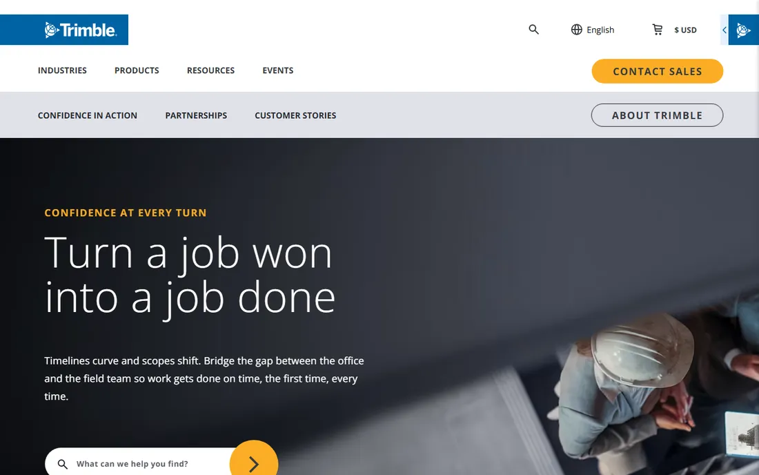
If your crews run Trimble total stations and GNSS receivers, Trimble Business Center (TBC) is the default office companion. It pulls in GNSS baselines, total station observations, laser scans and drone imagery into one project environment, then handles traverse adjustment, surface creation and CAD drafting. For boundary and topographic work where everything must be traceable back to raw observations, that single-project model is hard to beat.
The honest catch is the lock-in and the learning curve. TBC rewards Trimble shops and is merely adequate as a neutral data processor, and new users typically need formal training to use the adjustment and reporting tools properly. Pricing is quote-based and sold through distributors, so expect an enterprise-style sales conversation rather than a checkout button.
What we like- Complete field-to-finish workflow
- Handles GNSS, total station, scanning and UAV data
- Strong CAD drafting and reporting tools
Watch out for- Quote-based pricing with no public numbers
- Heavyweight software with a real learning curve
Starting priceSee website
Free planFree trial
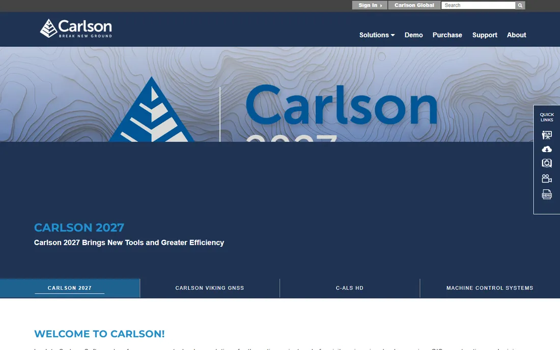
Carlson has been the surveyor-friendly alternative for decades. Carlson Survey gives you COGO, traverse adjustment, lot layout, volumes and drafting either inside AutoCAD or inside Carlson's own IntelliCAD-based CAD, which keeps license costs down. In the field, SurvPC runs on rugged tablets and data collectors and connects to a huge range of GPS and total station models, including competitors' gear.
That hardware neutrality is the main reason small and mid-size firms stick with Carlson. You are not forced to rebuy your instruments to match your software. The downside is cosmetic and cultural: the software looks like it belongs to an earlier decade, and the learning materials lag behind the bigger vendors. If your team is already CAD-literate, the ramp-up is short.
What we like- Runs inside AutoCAD or its own IntelliCAD
- SurvPC field app talks to hundreds of instruments
- Pragmatic pricing
Watch out for- Interface feels dated next to cloud-native tools
- Support quality varies by dealer
Starting priceSee website
Free planFree trial
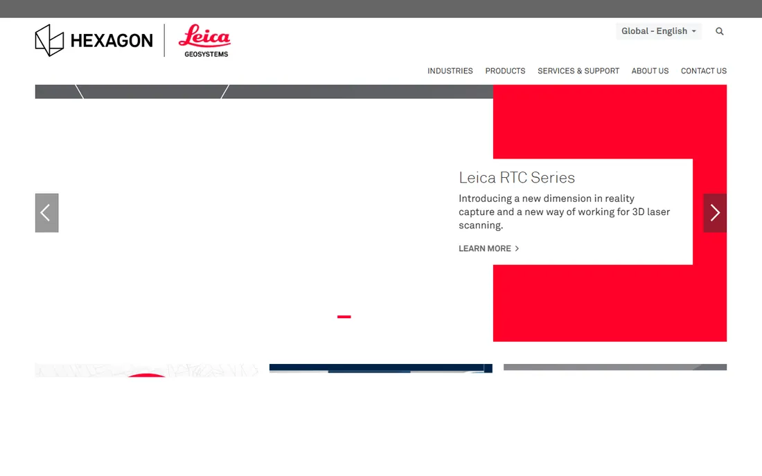
Leica Infinity is the office hub for anyone running Leica Geosystems instruments. It processes GNSS baselines, registers scan data, builds surfaces, computes volumes and pushes results straight to CAD, GIS and BIM formats. The built-in traverse and network adjustment tools produce the kind of audit-ready reports that government and infrastructure clients demand.
Infinity earns its place through traceability. Every processing step is documented, which matters when a survey has to stand up to legal scrutiny. The trade-off is the same as with any manufacturer platform: mixed fleets work, but the software clearly prefers Leica hardware, and adding modules for point clouds or UAV data increases the bill. Get a written quote that includes the modules you actually need.
What we like- Handles data from levels, total stations, GNSS, UAVs and scanners in one project
- Traceable adjustment and reporting
- Free trial available
Watch out for- Works best inside the Leica ecosystem
- Licensing and modules add up
Starting priceSee website
Free planFree trial

Topcon's MAGNET suite splits the job into three parts: MAGNET Field for data collection on the controller, MAGNET Office for processing and drafting, and MAGNET Enterprise for cloud data sharing between field and office. For construction layout, road staking and machine control workflows, the Office Site and Survey modules cover corridors, volumes, trenches and resurfacing without third-party add-ons.
The connected design pays off on larger crews where several field teams feed one office. MAGNET Enterprise keeps everyone on the same project files instead of emailing DWGs back and forth. The pricing structure is the weak point: the suite is sold in bundles and modules, so two firms can pay very different amounts for what looks like the same software. Ask for the bundle that matches your project mix.
What we like- MAGNET Field, Office and Enterprise form one connected system
- Strong road and construction layout tools
- Handles mixed sensor data
Watch out for- Module-based pricing gets complex
- Best experience requires Topcon hardware
Starting priceSee website
Free planFree trial

MicroSurvey CAD is the budget-conscious surveyor's drafting package. It covers the classic office tasks (COGO, traversing, DTM, volumes, contouring, plan production) and imports raw data from all major total stations and data collectors, so mixed fleets are not a problem. It is built on IntelliCAD, which keeps the perpetual-license price far below AutoCAD-based competitors.
For a two-person boundary survey shop, MicroSurvey does nearly everything the big names do at a price that pays for itself quickly. The compromises are around ecosystem: fewer training resources, fewer add-ons, and less hand-holding during setup. MicroSurvey is now part of Hexagon, which has stabilized its future, and a free demo lets you test with your own jobs before buying.
What we like- Full COGO, DTM, traverse and contouring at a fraction of big-brand prices
- Reads field data from all major instruments
- Free demo
Watch out for- Smaller user community and fewer third-party integrations
- Interface will not win design awards
Starting priceSee website
Free planFree trial

Agisoft Metashape (formerly PhotoScan) turns overlapping photos into measurable deliverables: dense point clouds, orthomosaics, digital surface models and textured 3D meshes. Surveyors fly a drone, process the imagery in Metashape, and export survey-grade products with ground control point support for accuracy. It is one of the few professional photogrammetry tools that still sells a perpetual license.
Metashape is a processor, not a surveyor's office. It does not do traverse adjustments, legal descriptions or CAD drafting, so plan to pair it with a drafting package from this list. What it does, it does very well, and it runs on Windows, Mac and Linux. If your firm is adding drone services, this is the most cost-effective processing engine to learn first.
What we like- Professional photogrammetry from any camera
- Exports point clouds, orthomosaics, DSMs and 3D models
- One-time license option
Watch out for- Demands serious GPU hardware
- No built-in surveying adjustments or drafting

#7
Pix4Dsurvey
Best for: Turning point clouds into CAD vectors
Visit pix4d.com
Starting priceSee website
Free planFree trial

Pix4Dsurvey fills a specific gap: it takes dense point clouds from drones or laser scanners and turns them into lightweight vector drawings (breaklines, curbs, spot heights, boundaries) that drop straight into AutoCAD or MicroStation. Surveyors who already process imagery in Pix4Dmapper get a clean pipeline from photos to CAD deliverables without redrawing anything by hand.
The tool is narrow by design, which is both its strength and its limit. It will not replace your COGO software or your photogrammetry processor. For topo surveys and as-built documentation where the deliverable is a CAD file, it cuts office time substantially. Pricing is subscription-based, so factor it into your annual software budget rather than treating it as a one-time purchase.
What we like- Converts drone and LiDAR point clouds into CAD-ready vectors
- Smooth handoff from Pix4Dmapper
- Runs on standard survey laptops
Watch out for- Subscription pricing with no perpetual option
- Works best inside the Pix4D ecosystem
Starting priceSee website
Free planFree trial
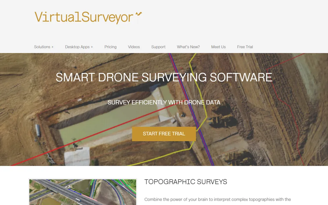
Virtual Surveyor sits between your photogrammetry software and your CAD system. Import an orthophoto and digital surface model, then pick survey points, breaklines and boundaries in an interactive 3D view to generate TINs, contours and cut-and-fill maps. It is aimed at surveyors who want drone deliverables without becoming photogrammetry experts.
The pitch is speed: five times faster than traditional field work for topographic products, according to the vendor. That holds for open terrain and construction sites where the drone sees the ground. It is not a replacement for boundary work or legal surveys. Pair it with Agisoft Metashape or Pix4D for processing, and it becomes a practical drone-to-CAD bridge for small firms.
What we like- Turns drone orthophotos and DSMs into CAD surfaces and contours fast
- Simple learning curve
- 14-day free trial
Watch out for- Depends on photogrammetry output from another tool
- Not a full COGO or drafting package
How we chose
We reviewed the surveying software market using vendor documentation, published feature lists, pricing pages, and public user reviews on G2, Capterra and surveying forums. We favored tools that are actively maintained, widely used by licensed surveyors, and capable of producing real deliverables like adjusted traverses, surfaces, contours and CAD drawings. We did not do hands-on field testing; our comparisons are based on documented capabilities and reported user experience.
What to check before you buy
Match the software to your instruments first, your deliverables second. A manufacturer package gives you the deepest integration with its own hardware, but a hardware-neutral tool like Carlson or MicroSurvey saves money if your fleet is mixed. Confirm that the software imports your collectors' raw formats before you sign anything.
Look at the full cost, not the license price. Field apps, office modules, maintenance plans and training add up fast in this category. Ask whether the price includes updates for the next 12 months and what a renewal costs. If you do drone work, budget separately for photogrammetry processing and the GPU hardware it needs.
Finally, test with your own data. Every tool here offers a trial or demo. Run one of your recent jobs through it, from raw field file to final deliverable, and time the process. That single test tells you more than any feature list.
Mistakes that cost surveyors money
The most expensive mistake is buying the full module bundle when you need two modules. Vendors sell suites; surveyors use a fraction of them. Write down your actual deliverables (topos, boundaries, construction layout, volumes) and buy only the modules that produce them.
The second mistake is ignoring training. A powerful adjustment package used wrong produces confident-looking bad data. Budget a week of training per new user, or pay a consultant to check your first few jobs.
The third is letting software drive hardware purchases you do not need. Good office software works with the instruments you already own. Switch instruments because the old ones are worn out, not because a sales rep told you to.
Frequently asked questions
What is the best land surveying software for beginners?
Carlson Survey and MicroSurvey CAD are the gentlest on-ramps. Both use familiar CAD-style interfaces, cover the core COGO and drafting tasks, and cost less than the manufacturer platforms. Start with the free trial and work through one of your typical jobs before buying.
Do I need separate field and office software?
Usually yes. Field apps like SurvPC or MAGNET Field run on data collectors and handle collection, coding and stakeout, while office packages like Trimble Business Center or Leica Infinity handle adjustment, drafting and deliverables. Some vendors bundle both; check what is included in the quote.
Can drone photogrammetry replace traditional surveying?
No, but it complements it. Drones excel at topographic mapping, volumes and as-builts over open ground. Boundary surveys, legal descriptions and anything needing sub-centimeter control still require total stations or GNSS with proper adjustment. Most firms use both.
Is there free land surveying software?
Fully free options are limited. QGIS handles GIS-side tasks at no cost, and most vendors here offer free trials or demos. For production work, expect to pay for at least the office drafting package.
What hardware do I need for photogrammetry software?
A strong GPU, plenty of RAM (32 GB is a sensible minimum) and fast SSD storage. Agisoft Metashape and Pix4Dmapper are GPU-hungry; processing large drone projects on a basic office laptop will be painfully slow. Check the vendor's recommended specs before buying.
How much does surveying software cost?
It ranges from a few hundred dollars for a perpetual MicroSurvey license to several thousand per year for a full manufacturer suite with all modules. Drone processing adds its own subscription. Always get a written quote that includes field apps, office modules and first-year maintenance.
Sources we checked (8)
- https://slashdot.org/software/comparison/Trimble-Business-Center-vs-Trimble-RealWorks/
- https://slashdot.org/software/comparison/Carlson-Survey-vs-DeedSign/
- https://leica-geosystems.com/products/gnss-systems/software/leica-infinity
- https://informedinfrastructure.com/post/topcon-releases-upgrade-of-magnet-software-suite-with-new-features-and-organization
- https://www.microsurvey.com/news/microsurvey-and-geotechvision/
- https://aur.archlinux.org/packages/agisoft-metashape-pro?O=10
- http://pix4d.com/product/pix4dsurvey/
- https://lidarnews.com/virtual-surveyor-drone-surveying-software-simplifies-workflow/
Is your product missing or out of date?
We review this list regularly. Vendors can request a listing, send updated pricing or ask about featured placement.

Shihab Mia · Founder, Rankite
Shihab has spent more than a decade helping SaaS and e-commerce brands grow through search. He writes Rankite's software buying guides from pricing pages, documentation and public user reviews. More about Shihab.
 Trimble Business Center
 Carlson Survey
 Leica Infinity
 Topcon MAGNET
 MicroSurvey CAD
 Agisoft Metashape
 Virtual Surveyor