How we make this list: we compare pricing pages, product documentation and public user reviews. Rankite is independent; if a vendor ever pays for a featured spot, that listing is clearly labeled Partner.
Key takeaways
- QGIS is the best free starting point: full professional GIS capability at zero cost, with the largest tutorial community.
- Google Earth Pro is the easiest first step for anyone who just needs to view places, measure distances, and drop pins on a map.
- If free and open source feels intimidating, Maptitude and Simple GIS are the paid tools designed for non-specialists, with real human support.
- Esri's ArcGIS is the industry standard employers ask for, but beginners should learn concepts in QGIS before paying for it.
Quick comparison
| Tool | Best for | Starting price | Free plan |
|---|
 QGIS QGIS | learning real GIS for free | Free | Yes |
 Google Earth Pro Google Earth Pro | the absolute easiest start with maps | Free | Yes |
 ArcGIS ArcGIS | learning the software employers hire for | See website | Free trial |
 Maptitude Maptitude | business users who need maps, not a GIS degree | See website | Free trial |
 Simple GIS Simple GIS | affordable desktop GIS on Windows | See website | Free trial |
 Global Mapper Global Mapper | working with terrain, lidar, and format conversion | See website | Free trial |
 CARTO CARTO | cloud-based maps and spatial analysis without desktop software | See website | Free trial |
Is your product missing or out of date?
We review this list regularly. Vendors can request a listing, send updated pricing or ask about featured placement.
GIS has a reputation for being hard to learn, and honestly, the reputation is partly earned. But the beginner's path is much friendlier than it used to be: free tools are excellent, tutorials are everywhere, and several paid tools are designed specifically for people who never want to become GIS analysts. These seven are the ones worth a beginner's time in 2026.
Starting priceFree
Free planYes
QGIS is the open-source GIS that changed the economics of learning. It does nearly everything the expensive commercial tools do: map creation, spatial analysis, geoprocessing, database connections, 3D views, print layouts. Universities teach with it, governments deploy it, and employers increasingly list it alongside ArcGIS in job postings. For a beginner, the unbeatable advantage is that every tutorial, every experiment, and every mistake costs nothing. The documentation is thorough and the community answers questions daily.
The honest downside is the learning curve. QGIS exposes professional complexity from the start, and a first-time user staring at the full interface can feel lost. The trick is to start with one task, making a simple map from a spreadsheet of addresses, and expand from there. Stick with it for two weeks and the interface stops being scary. For anyone serious about learning GIS rather than just viewing maps, QGIS is where to begin.
What we like- Completely free with professional-grade capability
- Enormous tutorial and community support
- Runs on Windows, Mac, and Linux
Watch out for- The interface can overwhelm absolute beginners
- Quality of community plugins varies
Starting priceFree
Free planYes
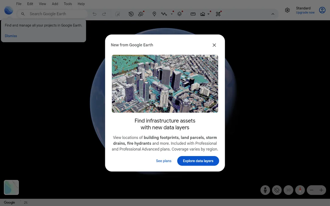
Everyone already knows how to use Google Earth Pro, which is exactly its value for beginners. Search for a place, fly to it, measure a distance, draw a polygon, drop pins with notes, import a spreadsheet of addresses and see them on the globe. For real estate agents showing property locations, journalists mapping events, teachers explaining geography, and small businesses plotting customers, it does the job in minutes with zero training. The desktop Pro version, once a paid product, has been free for years.
The limitation is that Google Earth is a viewer with light editing, not an analysis platform. You cannot run a buffer analysis, join census data to boundaries, or build a proper geoprocessing workflow. Think of it as step zero: wonderful for exploring and presenting geographic information, and the perfect appetizer before graduating to QGIS when you need real analysis.
What we like- Free and instantly familiar
- Measuring distances and areas takes seconds
- Great for presenting places to non-technical audiences
Watch out for- Not a real GIS, no serious spatial analysis
- Limited data format support
#3
ArcGIS
Best for: learning the software employers hire for
Visit esri.com
Starting priceSee website
Free planFree trial
Esri's ArcGIS is what most GIS job postings ask for. ArcGIS Pro is the desktop application, ArcGIS Online is the cloud platform for web maps and sharing, and together they form the ecosystem that governments, utilities, and large companies run on. For a beginner with career ambitions in GIS, learning ArcGIS is learning the vocabulary of the industry. Esri's training resources are excellent, and the free trial plus low-cost personal-use options make it possible to learn without an employer license.
The catch is cost and complexity. Full ArcGIS pricing is aimed at organizations, and the product lineup (Pro, Online, Enterprise, dozens of apps) confuses newcomers. A smart beginner strategy: learn GIS concepts in free QGIS first, then pick up ArcGIS Pro on a trial to learn the specific interface employers expect. The concepts transfer; only the buttons move.
What we like- The industry standard with the most job listings
- ArcGIS Online makes web maps easy
- Best-in-class documentation and training
Watch out for- Expensive for individuals
- The product family is large and confusing for newcomers
#4
Maptitude
Best for: business users who need maps, not a GIS degree
Visit caliper.com
Starting priceSee website
Free planFree trial
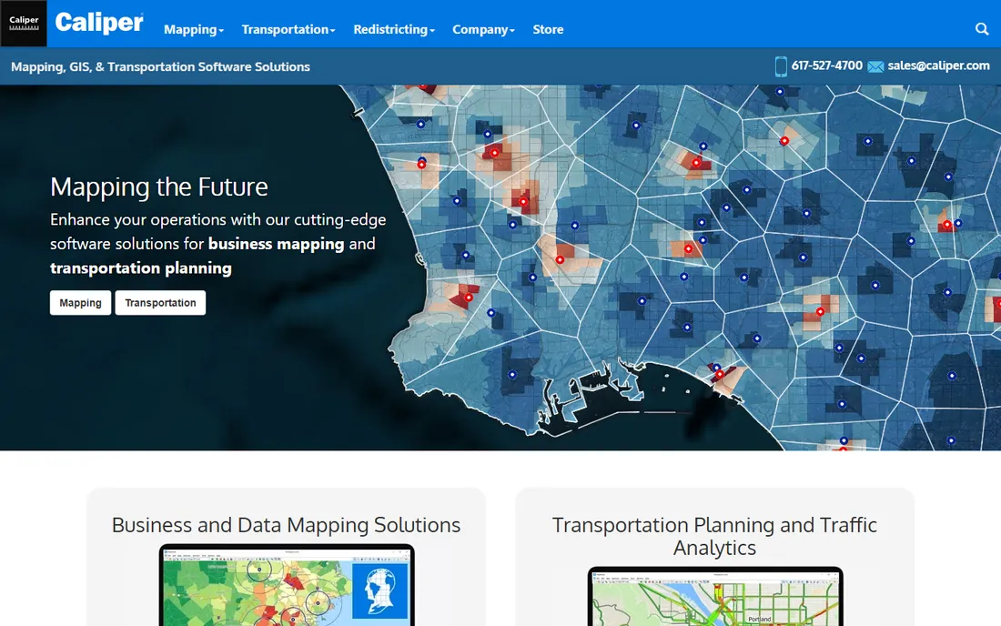
Maptitude is GIS for people who have a business problem, not a cartography hobby. Plot your customers, find the best site for a new store, build sales territories, map demographics by ZIP code: Maptitude walks you through these workflows with wizards instead of expecting you to know what a spatial join is. It ships with extensive built-in data, including US streets, ZIP codes, and demographics, so beginners start mapping immediately instead of hunting for datasets. Caliper's support team is famously helpful, with real humans answering the phone.
Technical GIS users sometimes sniff at Maptitude's simplicity, and the community is smaller than the open-source world's. But for a beginner in business, marketing, or sales operations, that simplicity is the product. If your goal is answers from maps rather than GIS expertise, Maptitude gets you there faster than anything else on this list.
What we like- Designed for business mapping with minimal training
- Includes US demographic and business data
- Excellent phone support
Watch out for- Windows-focused with less appeal for technical GIS users
- Smaller user community than QGIS or ArcGIS
Starting priceSee website
Free planFree trial
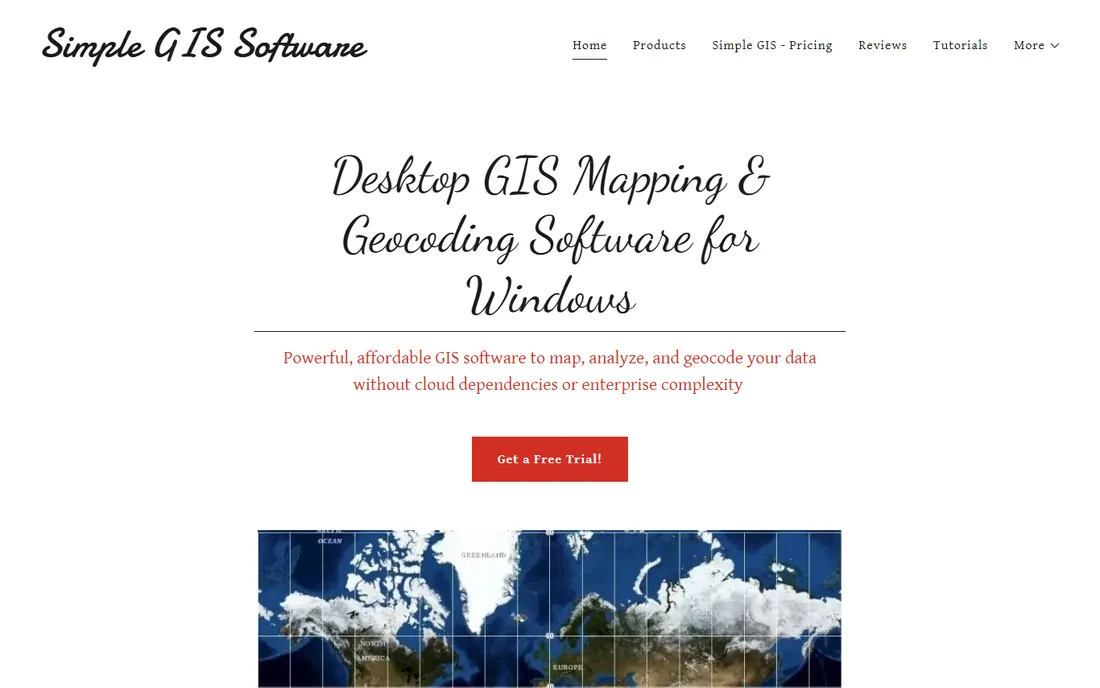
Simple GIS Software makes exactly what its name promises: a straightforward desktop GIS for Windows without enterprise pricing or cloud dependencies. Map spreadsheets, batch-geocode millions of addresses, edit shapefiles, analyze census data, and work fully offline. Licenses come as subscriptions or perpetual purchases, and there are no usage-based geocoding fees, which makes costs predictable. For a small business or local government office that needs practical mapping on Windows machines, it is refreshingly no-nonsense.
The trade-offs are scope and ecosystem. It is Windows-only, the user community is small compared to QGIS, and advanced analysts will outgrow it. But beginners often outgrow nothing; they need software that does the common jobs without a manual. Simple GIS respects that, and the free trial with full features lets you prove it on your own data.
What we like- Lightweight and fast with no subscriptions required
- Perpetual licenses available
- Batch geocoding built in
Watch out for- Windows only
- Far smaller ecosystem than QGIS
Starting priceSee website
Free planFree trial
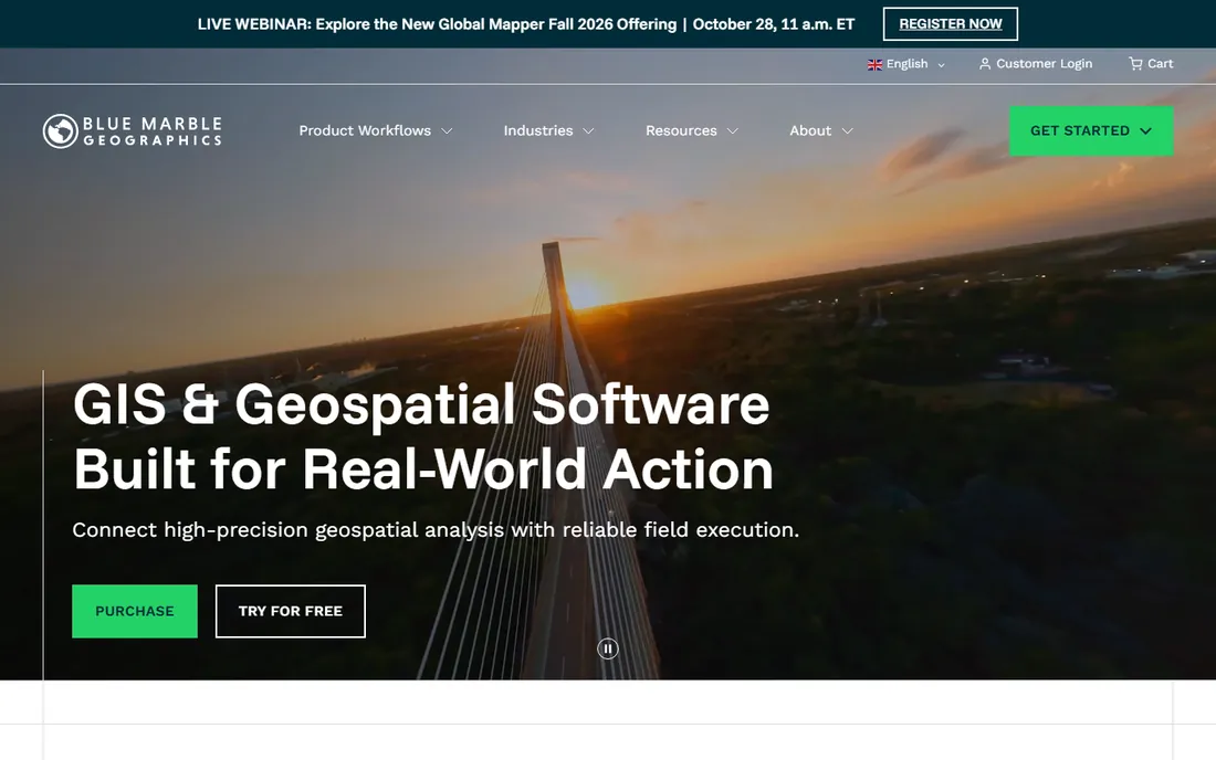
Global Mapper, from Blue Marble Geographics, is the Swiss Army knife of geospatial data. Its superpower is format handling: it opens virtually any raster, vector, elevation, or lidar format and converts between them, which solves the beginner's most common frustration, "I have this file and nothing will open it." Beyond conversion, it processes terrain models, classifies point clouds, and handles coordinate transformations with Blue Marble's respected geodetic engine. The free trial is fully functional.
For pure beginners, the interface is more functional than welcoming, and QGIS offers deeper analysis for free. But Global Mapper earns its place as the tool you reach for when data will not cooperate: weird formats, massive lidar files, datum shifts. Many professionals keep it alongside QGIS precisely for those jobs, and beginners dealing with real-world messy data will appreciate it sooner than they expect.
What we like- Reads and converts an enormous range of geospatial formats
- Strong lidar and terrain processing
- Affordable next to enterprise GIS
Watch out for- The interface prioritizes function over friendliness
- Analysis depth is shallower than QGIS
#7
CARTO
Best for: cloud-based maps and spatial analysis without desktop software
Visit carto.com
Starting priceSee website
Free planFree trial
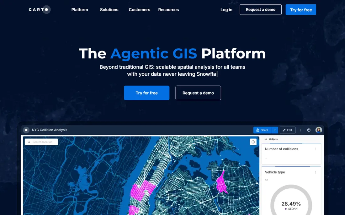
CARTO represents the modern direction of GIS: cloud-native, running inside your data warehouse, building interactive web maps without desktop software. For beginners, the appeal is instant gratification: upload a dataset, pick an analysis, and share a polished interactive map via link. The low-code Builder and newer AI-assisted features lower the barrier further, and because it connects to BigQuery, Snowflake, and similar platforms, it fits naturally into modern data teams.
The caveat is audience. CARTO is built for organizations doing spatial analytics at scale, and its pricing reflects that; it is less of a personal learning tool than QGIS. Beginners without a data warehouse will use only a fraction of it. But if your future is data analysis rather than traditional GIS, learning spatial thinking in CARTO's cloud environment is time well spent.
What we like- Runs in the browser, nothing to install
- Beautiful interactive web maps
- Connects directly to cloud data warehouses
Watch out for- Aimed at organizations more than individual learners
- Advanced features need data engineering skills
How we chose
We picked tools a genuine beginner can download and use in 2026, favoring free options, gentle learning curves, and strong learning resources. Vendor sites were verified in October 2026. Pricing for commercial tools is marked "See website" where vendors quote through sales. We weighed ease of first use more heavily than advanced capability, since that is what beginners need.
A beginner's learning path that actually works
Start with Google Earth Pro for a day to get comfortable thinking geographically. Then install QGIS and work through its official training manual with a real dataset you care about, your city's open data portal is ideal. Learn five core concepts and you will understand most of GIS: layers, coordinate systems, attribute tables, symbology, and basic geoprocessing like buffers and joins. Only then decide whether you need ArcGIS for employment, Maptitude for business speed, or CARTO for cloud analytics. Beginners who skip straight to paid tools usually pay to learn the same concepts QGIS teaches free.
Free versus paid: what the money buys
Free GIS software in 2026 is genuinely excellent: QGIS and Google Earth Pro cover learning and most practical needs at zero cost. Paid tools buy three things: simplicity (Maptitude, Simple GIS), career credentials (ArcGIS), and specialized power (Global Mapper's format handling, CARTO's cloud scale). A beginner should spend money only when a specific need appears, not upfront. The most common regret is buying an expensive license, then discovering the free tool did the job.
Frequently asked questions
What is the easiest GIS software for beginners?
Google Earth Pro is the easiest overall, and QGIS is the easiest full GIS software. Beginners who want hand-holding with business mapping should try Maptitude or Simple GIS, both designed for non-specialists.
Is QGIS really free?
Yes. QGIS is free and open-source software, free to download and use for any purpose including commercial work, forever. There are no feature-locked tiers or trial expirations.
Should I learn QGIS or ArcGIS?
Learn GIS concepts in QGIS first since it is free, then learn ArcGIS Pro's interface if your target jobs require it. Employers value the concepts; the specific software takes a few weeks to pick up once you understand the ideas.
Can I do GIS without coding?
Absolutely. QGIS, Maptitude, Simple GIS, and CARTO all work through graphical interfaces. Coding (usually Python) becomes useful for automating repetitive tasks later, but it is not required to start.
What computer do I need for GIS software?
QGIS and Google Earth Pro run fine on an ordinary laptop. Heavy lidar processing in Global Mapper or large analyses benefit from more RAM, but beginners do not need a workstation. CARTO needs only a web browser.
How long does it take to learn GIS basics?
Expect two to four weeks of regular practice to become comfortable with core concepts in QGIS: loading data, styling maps, and running basic analysis. Job-ready proficiency typically takes a few months of project work.
Sources we checked (7)
- https://qgis.org/
- https://www.esri.com
- https://caliper.com/
- https://simplegissoftware.com/
- https://earth.google.com/web/
- https://bluemarblegeo.com/
- https://carto.com/
Is your product missing or out of date?
We review this list regularly. Vendors can request a listing, send updated pricing or ask about featured placement.

Shihab Mia · Founder, Rankite
Shihab has spent more than a decade helping SaaS and e-commerce brands grow through search. He writes Rankite's software buying guides from pricing pages, documentation and public user reviews. More about Shihab.