How we make this list: we compare pricing pages, product documentation and public user reviews. Rankite is independent; if a vendor ever pays for a featured spot, that listing is clearly labeled Partner.
Key takeaways
- Agriculture drone software splits into mapping tools (Pix4Dfields, DroneDeploy) that turn flights into field maps, and analytics platforms (Agremo, Taranis, Sentera) that turn maps into agronomic decisions.
- Agremo is the only vendor here that publishes pricing on its homepage: crop monitoring plans start at $1,950 per year.
- If you already fly DJI agriculture drones, the DJI SmartFarm platform is the free default and it is genuinely capable.
- Taranis is a full-service play: they fly the drones and deliver the insights, which suits large operations but removes the DIY option.
Quick comparison
| Tool | Best for | Starting price | Free plan |
|---|
 Pix4Dfields Pix4Dfields | fast crop maps processed in the field | See website | Free trial |
 DroneDeploy DroneDeploy | managing drone operations across many sites | See website | Free trial |
 DJI SmartFarm DJI SmartFarm | farms already flying DJI agriculture drones | Free | Yes |
 Agremo Agremo | AI-powered field analytics from drone images | $1,950 per year | Free trial |
 Sentera Sentera | plant-level insights backed by dedicated sensors | See website | Free trial |
 Solvi Solvi | field trial analytics and agricultural research | See website | Free trial |
 Taranis Taranis | large operations that want insights without flying drones | See website | No |
Is your product missing or out of date?
We review this list regularly. Vendors can request a listing, send updated pricing or ask about featured placement.
A drone without good software is an expensive camera. The value in agricultural drone work comes from what happens after landing: stitching images into maps, detecting crop stress, counting plants, and turning all of it into decisions about spraying, replanting, or harvesting. The seven platforms below cover the serious options, from do-it-yourself mapping to full-service crop intelligence.
#1
Pix4Dfields
Best for: fast crop maps processed in the field
Visit pix4d.com
Starting priceSee website
Free planFree trial
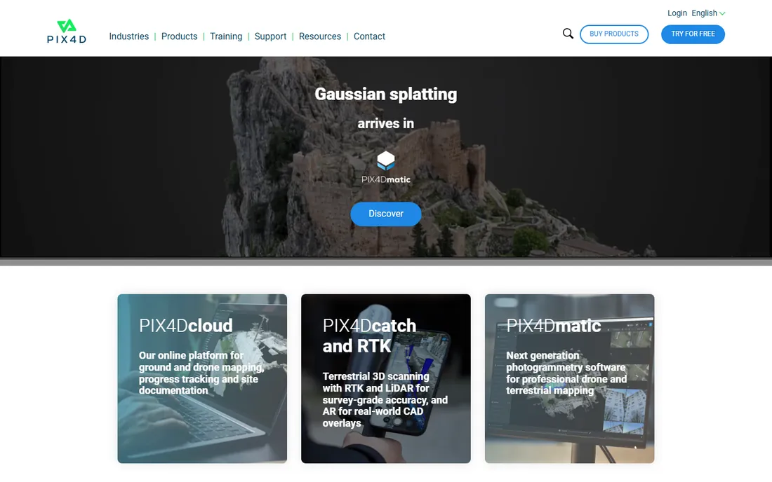
Pix4Dfields is built for one job: turning drone images into actionable field maps before you leave the field. Unlike Pix4D's survey-grade products, Fields skips the heavy 3D reconstruction and produces orthomosaics, NDVI and other vegetation index maps, and prescription-ready zonation maps fast enough to act on the same day. An agronomist can fly a cornfield in the morning, spot the stressed zones by lunch, and have the sprayer running that afternoon. It accepts imagery from DJI, Parrot, senseFly, and most other drones, including multispectral sensors.
The limitation is scope. Pix4Dfields gives you maps, not recommendations; interpreting a vegetation index map still requires agronomic knowledge, and there is no AI pest detection or disease diagnosis built in. For operations that want the raw mapping power and have their own agronomists, that is exactly right. For those wanting answers rather than maps, pair it with an analytics platform or pick one of those instead.
What we like- Processes maps on a laptop in minutes, no cloud wait
- Agriculture-specific outputs like vegetation indices and zonation maps
- Works with almost any drone
Watch out for- It is a mapping tool, not an agronomy advisor
- Per-license pricing adds up across a team
Starting priceSee website
Free planFree trial
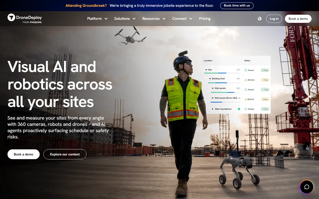
DroneDeploy started as drone mapping software and grew into a reality-capture platform used on millions of sites. For agriculture, its strengths are operational: plan automated flights, manage a fleet of drones and pilots, process maps in the cloud, and share results with the whole team. Multispectral processing produces the vegetation health maps growers need, and the platform's scale means it handles thousands of acres without breaking a sweat. Large agribusinesses and cooperatives that run drone programs across many locations tend to standardize here.
The trade-off is focus. DroneDeploy serves construction, energy, and agriculture from one platform, so its agriculture-specific analytics are thinner than a dedicated ag tool like Agremo or Taranis. Pricing is aimed at organizations, not individual farmers, and runs through sales. If you need one platform for a professional drone program spanning multiple farms or business units, DroneDeploy is the safe enterprise pick. If you need deep agronomic analysis, look at the specialists below.
What we like- Mature flight planning and fleet management
- Strong mapping engine with multispectral support
- Used across agriculture, construction, and energy
Watch out for- Agriculture is one vertical among many, not the sole focus
- Pricing is enterprise-grade and quote-based
#3
DJI SmartFarm
Best for: farms already flying DJI agriculture drones
Visit dji.com
Starting priceFree
Free planYes
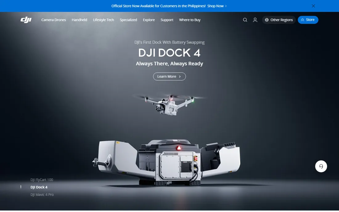
If your spray drone says DJI Agras on the side, SmartFarm is the obvious software home. DJI's agriculture platform manages fields, plans spraying missions, stores flight records, and generates prescription maps, all tied directly to the hardware. Because the drone, the app, and the cloud platform come from one vendor, the integration is genuinely smooth: plan a variable-rate spray job on the map, push it to the drone, and review the coverage afterward. The platform itself costs nothing beyond the hardware.
The catch is the lock-in. SmartFarm is built for DJI drones, so a mixed fleet or a future switch to another manufacturer means rebuilding your workflow. The analytics are practical but basic compared to Agremo's AI models or Taranis's leaf-level intelligence. For DJI-based operations, though, it is free, capable, and already installed, which beats most competitors on day one.
What we like- Free platform tightly integrated with DJI Agras spray drones
- Field management, flight records, and prescription maps in one place
- No extra software cost
Watch out for- Locked to the DJI ecosystem
- Analytics depth is shallower than independent platforms
#4
Agremo
Best for: AI-powered field analytics from drone images
Visit agremo.com
Starting price$1,950 per year
Free planFree trial
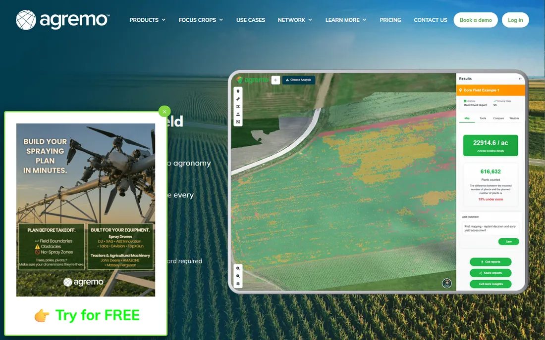
Agremo turns drone photos into agronomy: upload your flight, and its AI produces stand counts, weed maps, plant health reports, and variable-rate prescription maps. The stand count feature alone justifies the price for many growers, knowing exact emergence rates within days of planting beats walking rows with a clipboard. The company publishes its pricing openly, crop monitoring and field trial plans from $1,950 a year, per-acre plant counting from $2 an acre, which is refreshing in a market where everyone else hides behind "contact sales."
The honest caveats: the entry price puts it out of reach for hobby-scale operations, and the AI is only as good as the imagery you feed it. A cheap drone flown too high on a windy day produces maps the AI cannot rescue. Agremo also integrates with DJI's agriculture ecosystem, so DJI owners get a smooth pipeline from flight to analysis. For commercial growers and agronomists who fly regularly, it is one of the best value analytics platforms available.
What we like- Published pricing with no sales call required
- Strong AI models for stand counts, weed detection, and plant health
- Unlimited stitching and analyses on crop plans
Watch out for- $1,950 a year is real money for a small farm
- Works best with good-quality drone imagery, garbage in means garbage out
#5
Sentera
Best for: plant-level insights backed by dedicated sensors
Visit sentera.com
Starting priceSee website
Free planFree trial
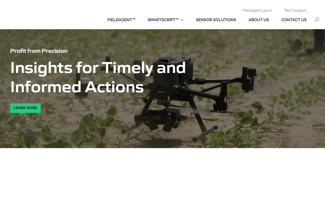
Sentera takes the full-stack approach: it builds the multispectral sensors, the analytics software, and the delivery platform together. That vertical integration shows in the output quality. Its sensors capture calibrated multispectral imagery designed specifically for vegetation analysis, and the software turns it into stand counts, weed maps, and nitrogen management recommendations at plant level rather than field-average level. The company is based in Minnesota and has deep roots in Midwest row-crop agriculture.
The downside is the hardware tie-in. You can use Sentera's analytics with other drones, but the best results come from their sensors, which means buying into their hardware too. Pricing runs through sales and targets commercial operations, not weekend pilots. For large corn and soybean operations that want the highest-fidelity crop intelligence and are willing to invest in the sensor stack, Sentera is a top-tier choice.
What we like- Designs its own multispectral sensors tuned for agriculture
- Analytics go down to individual plant level
- Strong US Midwest presence and support
Watch out for- Best results require Sentera sensors, adding hardware cost
- Pricing is quote-based and aimed at larger operations
#6
Solvi
Best for: field trial analytics and agricultural research
Visit solvi.ag
Starting priceSee website
Free planFree trial
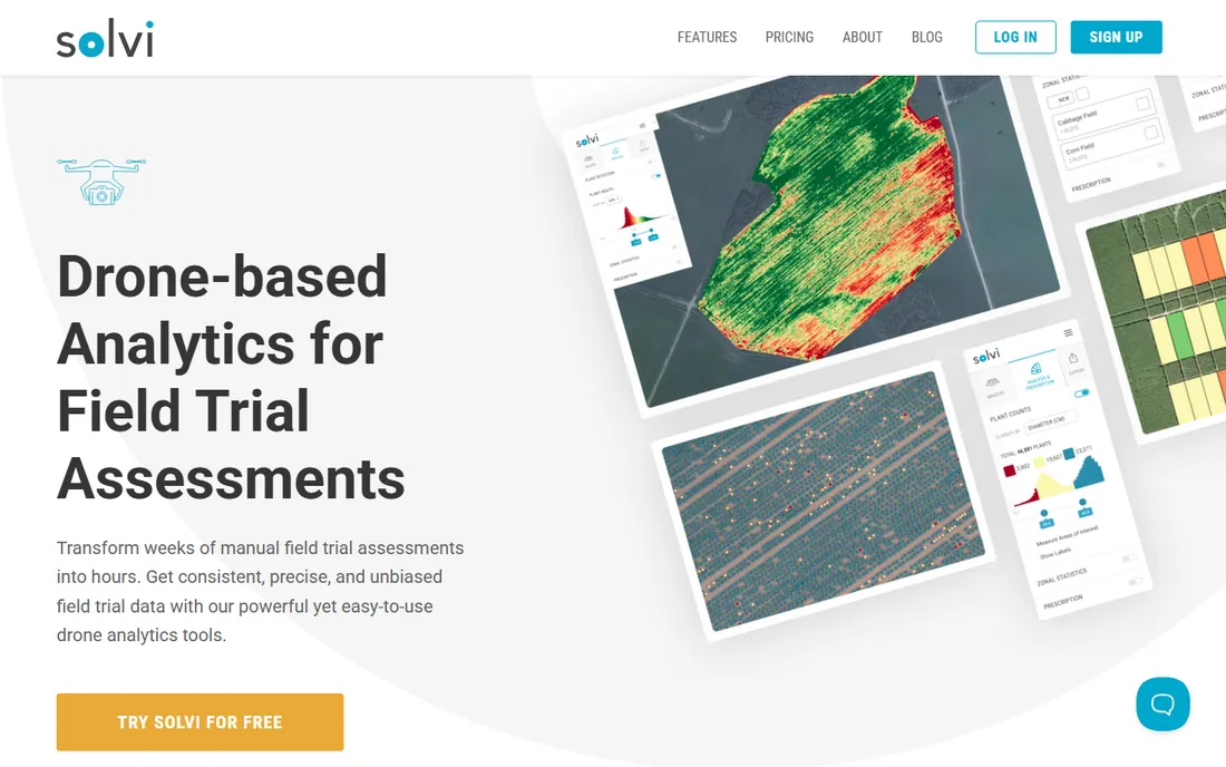
Solvi serves a specific but important audience: the researchers, breeders, and seed companies who run field trials. Its software digitizes trial plots from drone imagery and extracts per-plot metrics, plant counts, canopy cover, vigor scores, in minutes instead of the weeks manual assessment takes. The PlantAI feature lets users train crop-specific detection models with relatively little labeled data, which matters when you are working with unusual varieties. Customers include major seed companies and agricultural universities.
For a regular farm operation, Solvi is probably more tool than needed; Pix4Dfields or Agremo cover standard crop monitoring better. But if you run variety trials, breeding programs, or agronomic research, Solvi is one of the few platforms designed exactly for that workflow, and its research pedigree shows in the statistical rigor of its outputs.
What we like- Purpose-built for field trial plot analysis
- PlantAI models adapt to different crops with minimal training
- Trusted by seed companies and research institutes
Watch out for- Research-focused, overkill for simple farm mapping
- Pricing is quote-based
#7
Taranis
Best for: large operations that want insights without flying drones
Visit taranis.com
Starting priceSee website
Free planNo
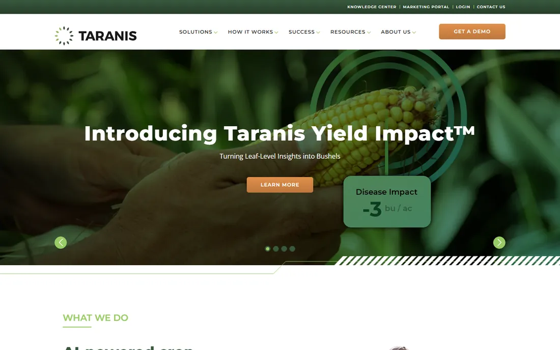
Taranis flips the model: instead of selling you software to analyze your drone flights, it sells crop intelligence as a service. Taranis operates the drones (and planes), captures submillimeter-resolution imagery, and its AI flags weeds, disease, insect damage, and nutrient deficiencies down to the individual leaf. The 2026 partnership with Syngenta to roll out AI crop intelligence through ag retailers shows how seriously the industry takes it. Advisors get a dashboard of every grower's fields; growers get prioritized scouting reports.
The trade-off is control. You cannot buy Taranis software and fly your own missions; you buy into their service footprint, which covers major row-crop regions but not everywhere. Pricing is negotiated per operation and aimed at large acreages. For a 10,000-acre operation or an ag retail chain, outsourcing the entire imagery pipeline to specialists makes economic sense. For an independent agronomist with a drone, the other tools on this list are the right shape.
What we like- Full-service model, they handle flights and deliver insights
- Leaf-level AI detects weeds, disease, insects, and nutrient deficiency
- Strong retail and advisor channel
Watch out for- No DIY option, you buy the service not the software
- Pricing is enterprise and opaque
How we chose
We focused on platforms that process drone imagery into agricultural decisions, not drone hardware or generic mapping tools. Candidates were checked against vendor documentation, agtech press coverage, and user discussions in farming communities. All seven are active products in 2026. Pricing reflects vendor-published figures where available; most enterprise ag platforms quote through sales, so we mark those honestly rather than guessing. We did not conduct hands-on flight tests.
Mapping or analytics: decide what you are buying
Drone software for agriculture falls into two layers that buyers constantly confuse. Mapping tools (Pix4Dfields, DroneDeploy, DJI SmartFarm) turn photos into georeferenced maps: orthomosaics, elevation models, vegetation index layers. Analytics platforms (Agremo, Sentera, Solvi, Taranis) turn those maps into decisions: this zone needs nitrogen, these rows have weeds, replant this section.
You need the mapping layer before the analytics layer means anything, but many analytics platforms include stitching, so check for overlap before buying both. A small farm with an agronomist might need only Pix4Dfields. A large operation without in-house imagery expertise might skip straight to Taranis. Match the software to the skills on your team, not to the feature list on the website.
What to verify before committing
Sensor compatibility comes first. Confirm the software supports your drone and camera, especially for multispectral work, where band alignment and calibration vary by sensor. Check processing location and turnaround: Pix4Dfields processes on your laptop in the field, while cloud platforms need upload bandwidth that rural areas often lack. Ask about data ownership and export formats; your flight data should leave the platform as standard GeoTIFF or shapefiles, not trapped in a proprietary format. Finally, run a real trial on your own fields. Demo imagery always looks perfect; your dusty, windy, unevenly lit fields are the real test.
Frequently asked questions
What software do farmers use with agricultural drones?
The most common setup pairs a mapping tool like Pix4Dfields or DJI SmartFarm with an analytics platform like Agremo. Large operations often use DroneDeploy for fleet management, while those wanting a hands-off approach buy Taranis's full-service crop intelligence.
How much does agriculture drone software cost?
It ranges from free (DJI SmartFarm platform) to $1,950 per year (Agremo's published starting price) and up into custom enterprise contracts for DroneDeploy, Sentera, and Taranis. Most vendors in this space quote through sales rather than publishing prices.
Can drone software detect crop disease?
Yes, with limits. Platforms like Taranis and Agremo use AI to flag likely disease, pest, and nutrient stress from imagery, but they detect symptoms visible from the air, not lab-confirmed diagnoses. Treat the output as a scouting priority list, then verify on the ground.
Do I need a multispectral camera for crop analysis?
For basic crop health mapping, no; RGB imagery can produce useful vegetation indices. For serious variable-rate prescriptions and early stress detection, a multispectral sensor (like Sentera's) captures bands that RGB cameras miss. Match the sensor investment to the decisions you need to make.
What is the difference between Pix4Dfields and DroneDeploy?
Pix4Dfields is agriculture-specific mapping software that processes images on your computer in the field. DroneDeploy is a broader reality-capture platform with cloud processing, fleet management, and multi-site operations, serving agriculture alongside construction and energy.
Is Taranis software I can buy and use myself?
No. Taranis sells crop intelligence as a full service; they operate the aircraft and deliver the insights. If you want to fly your own drone and analyze the imagery yourself, choose Pix4Dfields, Agremo, or a similar DIY platform instead.
Sources we checked (8)
- https://pix4d.com/
- https://dronedeploy.com/
- https://www.dji.com
- https://www.agremo.com
- https://sentera.com/
- https://solvi.ag/
- https://taranis.com/
- https://globalaginvesting.com/syngenta-expands-ai-partnership-with-crop-intelligence-firm-taranis/
Is your product missing or out of date?
We review this list regularly. Vendors can request a listing, send updated pricing or ask about featured placement.

Shihab Mia · Founder, Rankite
Shihab has spent more than a decade helping SaaS and e-commerce brands grow through search. He writes Rankite's software buying guides from pricing pages, documentation and public user reviews. More about Shihab.