How we make this list: we compare pricing pages, product documentation and public user reviews. Rankite is independent; if a vendor ever pays for a featured spot, that listing is clearly labeled Partner.
Key takeaways
- QGIS is the best free desktop GIS available, with a plugin library of over 1,800 extensions and no licensing cost at any team size.
- ArcGIS Pro remains the enterprise standard for deep analysis, 3D, and organizations that already run Esri infrastructure.
- If your end product is a map inside an app or website, Mapbox and CARTO matter more than any desktop GIS on this list.
- Global Mapper is the sleeper pick for anyone drowning in file formats and LiDAR, while MapInfo Pro still owns business mapping in telecom and utilities.
- Google Earth Pro and GRASS GIS are both free and both underused: Earth Pro for fast visualization, GRASS for serious raster analysis.
Quick comparison
| Tool | Best for | Starting price | Free plan |
|---|
 ArcGIS Pro ArcGIS Pro | Enterprise GIS teams and advanced analysis | See website | Free trial |
 QGIS QGIS | Anyone who wants a complete GIS for free | $0 | Yes |
 MapInfo Pro MapInfo Pro | Business mapping in telecom, utilities, and retail | See website | Free trial |
 Global Mapper Global Mapper | Format conversion, terrain, and LiDAR processing | See website | Free trial |
 CARTO CARTO | Cloud-based location intelligence at scale | See website | Free trial |
 Mapbox Mapbox | Custom maps embedded in apps and websites | See website | Yes (usage-based free tier) |
 GRASS GIS GRASS GIS | Serious raster analysis and geospatial modeling | $0 | Yes |
 Google Earth Pro Google Earth Pro | Fast 3D visualization and geographic exploration | $0 | Yes |
 Maptitude Maptitude | Affordable desktop mapping with included data | See website | Free trial |
Is your product missing or out of date?
We review this list regularly. Vendors can request a listing, send updated pricing or ask about featured placement.
#1
ArcGIS Pro
Best for: Enterprise GIS teams and advanced analysis
Visit esri.com
Starting priceSee website
Free planFree trial
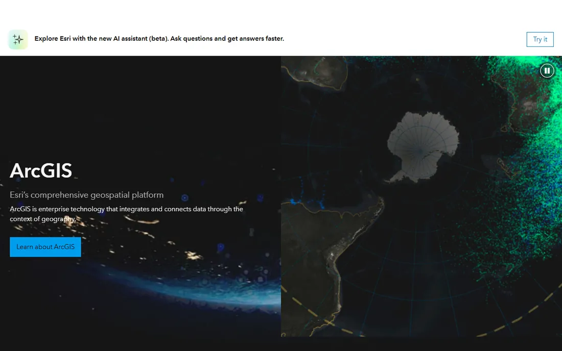
ArcGIS Pro is the commercial standard that every other desktop GIS gets measured against. Spatial analysis, 3D scenes, imagery classification, and network analysis all live in one application, and organizations already on the Esri stack get the ArcGIS Online and Enterprise integration that makes sharing maps across a company straightforward. Government agencies, utilities, and large consultancies standardize on it because the support contracts, training materials, and hiring pool exist at scale.
The cost is the conversation. Commercial licenses run per user per year, and the extensions that enable the advanced analysis are licensed separately, so the sticker price and the real price are different numbers. A personal-use license exists at a much lower price for learning and non-commercial work. Buy ArcGIS Pro when the analysis depth, the 3D capability, or the existing Esri infrastructure justifies the budget. If none of those apply, QGIS covers most desktop workflows for nothing.
What we like- Deepest analytical toolbox in the category
- Strong 3D and imagery workflows
- Integrates with the full ArcGIS platform
Watch out for- Expensive per-seat licensing that scales painfully
- Windows-only desktop app with a real learning curve
#2
QGIS
Best for: Anyone who wants a complete GIS for free
Visit qgis.org
Starting price$0
Free planYes
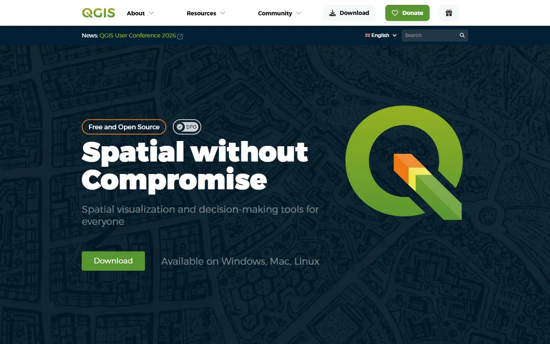
QGIS is the rare open-source project that beats its commercial rivals on breadth. The core application handles cartography, geoprocessing, and database connections, and the plugin repository extends it into hydrology, remote sensing, network analysis, and field data collection. Recent releases added native point cloud rendering, GeoParquet support, and steady performance gains on large vector layers. For researchers, NGOs, and small consultancies, it is simply the rational choice: zero license cost, cross-platform, and no seat counting.
The honest weakness is support. There is no vendor to call when a project breaks at 4 PM before a deadline; you get forums, Stack Exchange, and commercial third-party support firms. Some workflows that are one click in ArcGIS Pro take a plugin and a tutorial in QGIS. None of that matters much at the price. Organizations that switch usually keep one or two ArcGIS seats for compatibility and run everything else on QGIS, which tells you how close the gap has become.
What we like- Over 1,800 plugins covering almost any workflow
- Runs on Windows, macOS, and Linux
- Reads 100+ formats via GDAL
Watch out for- No official support channel, so you depend on the community
- 3D and cloud features lag ArcGIS Pro
Starting priceSee website
Free planFree trial
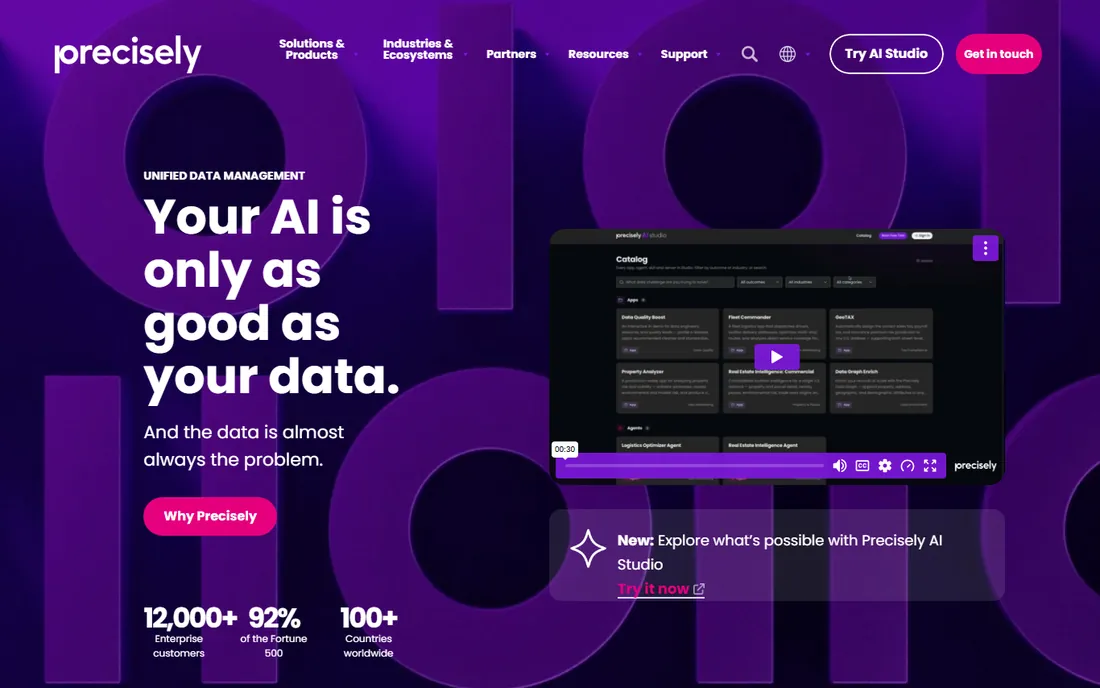
MapInfo Pro, now under Precisely, has spent decades as the business person's GIS. Where ArcGIS Pro aims at analysts, MapInfo aims at the marketing manager who needs a drive-time map, the network planner laying out service areas, or the retail analyst comparing trade areas. The interface is friendlier than any other commercial desktop GIS, and the thematic mapping and reporting tools produce boardroom-ready output fast.
That positioning comes with a price that reviewers regularly call out as high for individuals and small teams. The product is also Windows-only, which rules out mixed-OS shops. MapInfo Pro makes sense inside industries where it is already the standard, especially telecom and utilities, and for teams that value speed of map production over analytical depth. New buyers outside those niches should compare it against QGIS plus a day of training before signing a subscription.
What we like- Approachable interface for non-specialists
- Strong thematic mapping and reporting
- Deep roots in telecom and utilities
Watch out for- Reviewers consistently flag high licensing costs
- Windows-only
- Smaller community than QGIS or Esri
Starting priceSee website
Free planFree trial
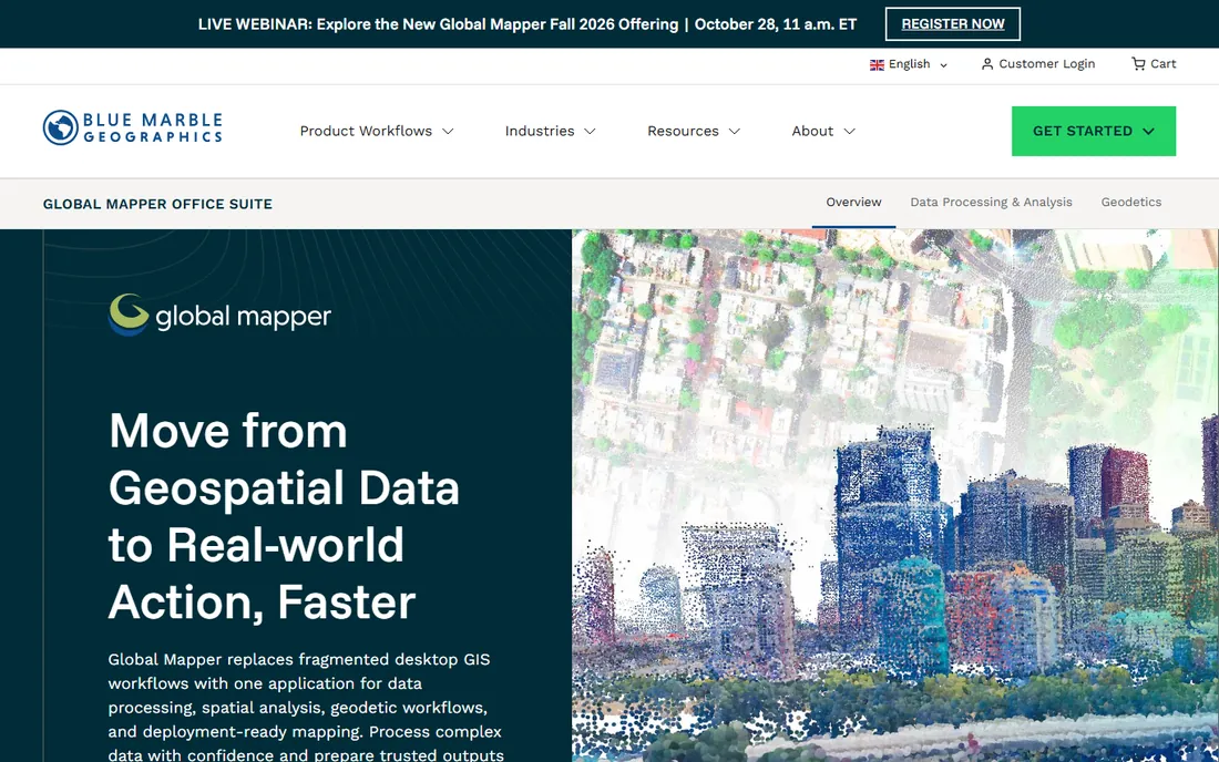
Global Mapper from Blue Marble Geographics is the utility knife of the GIS world. Its reputation rests on two things: it opens practically any spatial format you throw at it, and it processes LiDAR point clouds and terrain data quickly and well. Surveyors, drone operators, and environmental consultants use it as the place where messy field data becomes clean, usable layers. Recent versions added expanded export options and geodetic tools that keep it current for professional surveying work.
The trade-offs are cosmetic and commercial. The interface is functional rather than beautiful, and you will not find a published price list, so budgeting requires a sales conversation. It is also a data-processing tool first and a map-design tool second; for publication-quality cartography, QGIS or ArcGIS Pro serve better. Buy it when format chaos and LiDAR are your daily problems, because nothing else at this price solves those as efficiently.
What we like- Reads and writes an enormous range of formats
- Strong LiDAR and terrain tools
- Fast at batch processing
Watch out for- Interface shows its age
- Pricing is quote-based and not published
- Less of a cartography tool than a data tool
#5
CARTO
Best for: Cloud-based location intelligence at scale
Visit carto.com
Starting priceSee website
Free planFree trial
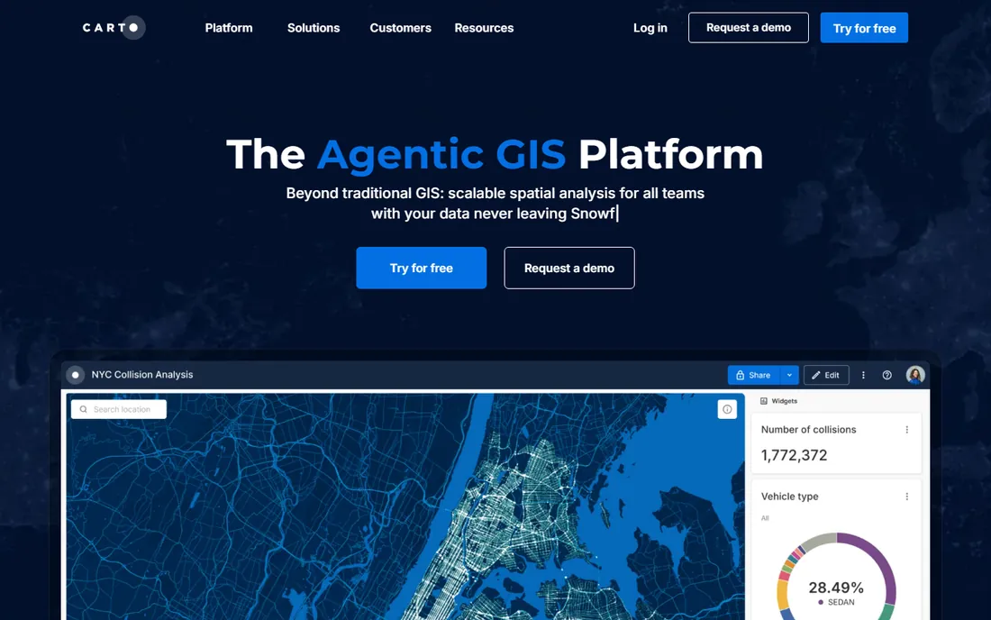
CARTO rebuilt itself around the modern data stack: instead of copying your data into its platform, it connects to your cloud data warehouse and runs spatial analysis there. For organizations already on BigQuery, Snowflake, or Redshift, that means no ETL, no duplication, and spatial queries that scale with the warehouse. The Builder interface then turns query results into interactive maps and dashboards that non-technical stakeholders can actually use.
This is enterprise software with enterprise pricing, and small teams will find the sales process heavy for what they need. CARTO also assumes a certain data maturity; if your spatial data lives in shapefiles on a shared drive, you are not its customer yet. It belongs on this list because for data teams doing location intelligence in the cloud, it has become the default answer, and the warehouse-native approach is where the whole category is heading.
What we like- Warehouse-native architecture queries data where it lives
- Strong builder for interactive web maps
- Scales to huge datasets
Watch out for- Quote-based pricing aimed at enterprises
- Overkill for simple desktop mapping tasks
Starting priceSee website
Free planYes (usage-based free tier)
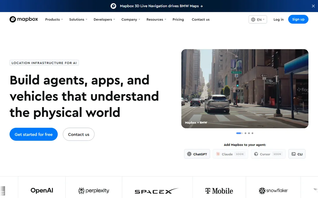
Mapbox is what you reach for when the deliverable is a map inside your product rather than a map on your desktop. Its vector tiles, GL-based rendering, and Studio design tool let developers build basemaps that match a brand exactly, and the mobile and web SDKs are the best documented in the business. The free tier covers substantial monthly usage, which makes it the standard starting point for startups adding location features.
The pricing model deserves attention before you commit. You pay per map load, geocode, and direction request, so costs are wonderfully low at small scale and can surprise you at large scale. Model your expected usage against the published rates early, and set up billing alerts. Mapbox does not do desktop spatial analysis, so it complements rather than replaces QGIS or ArcGIS Pro: analyze on the desktop, publish with Mapbox.
What we like- Beautiful, fully customizable basemaps
- Strong developer APIs and SDKs
- Generous free usage tier
Watch out for- Costs scale with map loads, so viral apps get expensive
- Not a desktop analysis tool
Starting price$0
Free planYes
GRASS GIS has been doing geospatial analysis since 1982, and its module library remains the deepest available at any price. Hydrological modeling, viewshed analysis, solar irradiance, land-cover metrics: if it involves raster math, GRASS probably has a module for it, and the modern Python API plus Jupyter integration make it scriptable for reproducible research. Many QGIS users already run GRASS modules through the Processing toolbox without realizing it.
Nobody chooses GRASS for its looks. The interface is functional in the way only long-lived academic software can be, and newcomers should expect a real learning curve. It also shines brightest when scripted rather than clicked. For researchers and analysts whose work lives in raster data and models, though, it is indispensable, and pairing it with QGIS as the friendly front end is the classic open-source power setup.
What we like- Over 500 analytical modules, the deepest raster toolbox anywhere
- Scriptable in Python and Jupyter
- Free and open source
Watch out for- Interface is austere and dated
- Learning curve is steep for casual users
#8
Google Earth Pro
Best for: Fast 3D visualization and geographic exploration
Visit google.com
Starting price$0
Free planYes
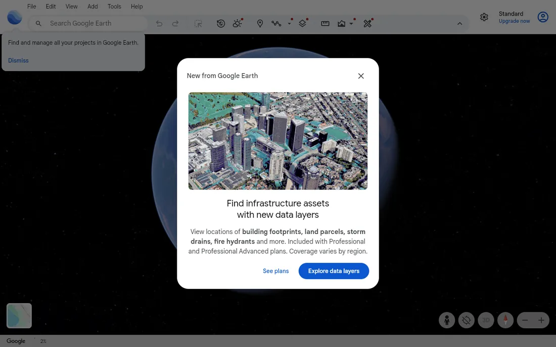
Google Earth Pro is the fastest way to look at anywhere on Earth in 3D, and it costs nothing. The historical imagery slider alone justifies keeping it installed: scrubbing back through years of satellite imagery settles boundary disputes, documents site changes, and gives clients an instant visual they understand without any GIS training. Measurement tools, KML import, and movie-making round out a package that is far more capable than its "just a viewer" reputation suggests.
Be clear about what it is not. There is no real spatial analysis, no geoprocessing toolbox, and limited support for professional data formats. It is a visualization and exploration tool that sits next to your real GIS, and at free, there is no reason not to have it. Every GIS professional we know keeps it open alongside their main software.
What we like- High-resolution imagery and 3D terrain out of the box
- Historical imagery slider
- Completely free
Watch out for- Not a real analysis tool
- Limited data import and no serious geoprocessing
#9
Maptitude
Best for: Affordable desktop mapping with included data
Visit caliper.com
Starting priceSee website
Free planFree trial
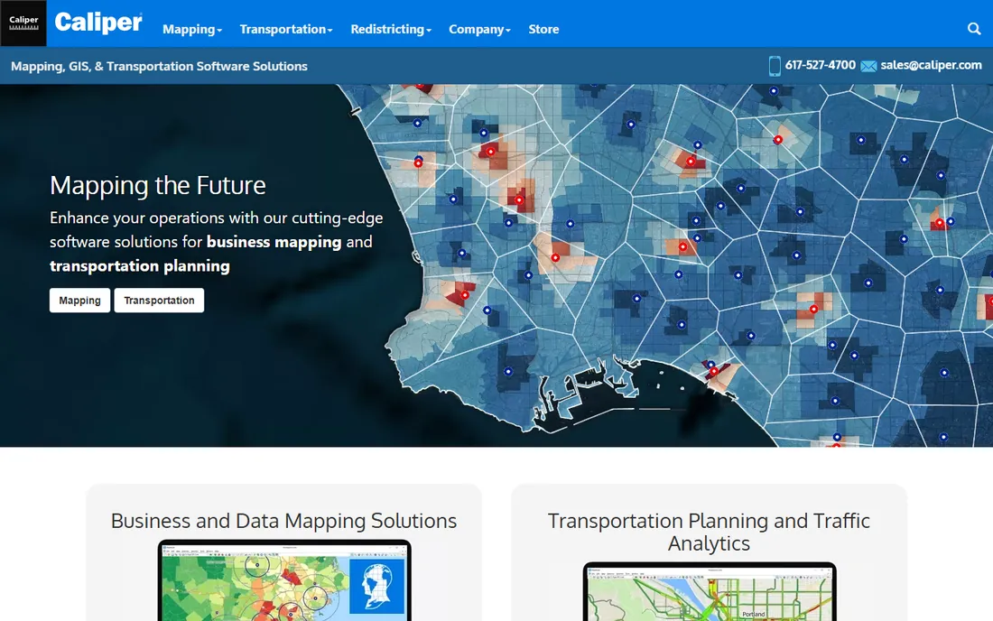
Maptitude from Caliper takes a different approach to value: the software ships bundled with the demographic, business, and street data you would otherwise buy separately. For site selection, sales territory design, and market analysis, that bundle can make it cheaper than a "free" tool plus data purchases. The interface targets business users rather than GIS specialists, and the one-time license model appeals to buyers tired of subscriptions.
The community is small, so finding tutorials and troubleshooting help takes more effort than with QGIS or Esri products. Analytical depth is solid for business mapping but does not reach ArcGIS Pro levels, and the Windows-only limitation persists. Maptitude earns its spot for a specific buyer: the business analyst who needs maps plus data in one purchase, without a subscription and without becoming a GIS expert.
What we like- Ships with extensive demographic and business data
- Gentle learning curve
- One-time license pricing
Watch out for- Smaller user community and fewer tutorials
- Windows-only
- Less analytical depth than ArcGIS Pro
How to choose the right GIS for your work
Start with the deliverable, not the software. If you produce analysis and printed or PDF maps, you need a desktop GIS: QGIS if budget matters, ArcGIS Pro if depth or existing Esri infrastructure matters, MapInfo Pro if business mapping speed matters. If you process LiDAR, terrain, or endless format conversions, add Global Mapper to the shortlist. If your output is an interactive map in a product, skip the desktop entirely and evaluate Mapbox or CARTO.
Budget reality check
The free tier of this category is genuinely excellent. QGIS plus GRASS GIS plus Google Earth Pro costs nothing and covers perhaps 80 percent of what most organizations do with GIS. The paid tools justify themselves in three situations: enterprise support and governance (ArcGIS Pro), specialized data processing (Global Mapper), and productized maps at scale (Mapbox, CARTO). If none of those apply, start free and only pay when a specific limitation blocks you.
Desktop, cloud, or both
The category is splitting. Desktop GIS still rules for analysis, cartography, and offline field work. Cloud and warehouse-native platforms rule for sharing, dashboards, and web products. Most mature organizations end up with both: QGIS or ArcGIS Pro for the analysts, CARTO or Mapbox for everything the public or the executives touch. Buying only one side usually means rebuilding the other later.
Open source vs commercial in 2026
The gap keeps narrowing. QGIS releases arrive every six months with real improvements, the plugin ecosystem covers nearly every niche, and GRASS GIS remains analytically unmatched. Commercial vendors compete on support contracts, 3D and imagery depth, governance, and convenience, not on basic capability. The practical advice: run the free stack for a month on your actual projects before signing anything. Many teams discover the commercial purchase they were planning is unnecessary, and the ones who do buy do so knowing exactly which paid feature they need.
How we chose
We compared pricing pages, product documentation, and public reviews on G2, Capterra, and Reddit, weighing analytical depth, format support, 3D and imagery capability, cloud and developer features, and fit for organizations from solo consultants to enterprises. We did not run hands-on trials; this comparison reflects publicly documented capabilities and pricing as of October 2026.
Frequently asked questions
Is QGIS really as good as ArcGIS Pro?
For most desktop mapping, geoprocessing, and cartography, yes. ArcGIS Pro pulls ahead in advanced 3D, imagery analysis, and enterprise sharing, and it comes with vendor support. Many organizations run both: QGIS for everyday work, ArcGIS Pro where its strengths justify the license.
What is the cheapest way to get started with GIS?
Install QGIS, GRASS GIS, and Google Earth Pro. All three are free, run on standard hardware, and together cover mapping, analysis, and visualization. Add Mapbox's free tier when you need web maps.
Which GIS software is best for LiDAR?
Global Mapper is the specialist pick for LiDAR processing and terrain work at a reasonable price. QGIS handles point clouds increasingly well for free, and ArcGIS Pro covers LiDAR inside larger enterprise workflows.
Do I need a desktop GIS if I use Mapbox or CARTO?
Only if you do analysis. Mapbox and CARTO publish and visualize; they do not replace desktop geoprocessing. The common pattern is analyzing in QGIS or ArcGIS Pro and publishing through Mapbox or CARTO.
Is MapInfo Pro still relevant in 2026?
Yes, in its niches. Telecom, utilities, and retail site analysis still run heavily on MapInfo Pro, and its business-friendly interface has no direct equal. Outside those industries, new buyers usually choose QGIS or ArcGIS Pro.
Can GIS software run on a Mac?
QGIS, GRASS GIS, Google Earth Pro, CARTO, and Mapbox all work on macOS. ArcGIS Pro, MapInfo Pro, Global Mapper, and Maptitude are Windows-only on the desktop, though some run under virtualization.
Sources we checked (5)
- https://github.com/die-hu/awesome-giser/blob/HEAD/tools/desktop-gis.md
- https://www.g2.com/products/arcgis-pro/competitors/alternatives
- https://www.g2.com/compare/mapinfo-pro-vs-qgis
- https://slashdot.org/software/comparison/ArcGIS-vs-Global-Mapper/
- https://www.g2.com/products/arcgis-online/competitors/alternatives
Is your product missing or out of date?
We review this list regularly. Vendors can request a listing, send updated pricing or ask about featured placement.

Shihab Mia · Founder, Rankite
Shihab has spent more than a decade helping SaaS and e-commerce brands grow through search. He writes Rankite's software buying guides from pricing pages, documentation and public user reviews. More about Shihab.