How we make this list: we compare pricing pages, product documentation and public user reviews. Rankite is independent; if a vendor ever pays for a featured spot, that listing is clearly labeled Partner.
Key takeaways
- Pix4D is the surveyor's standard for accurate drone mapping.
- DroneDeploy is the easiest end-to-end cloud platform for job sites.
- Agisoft Metashape offers professional results with a perpetual license.
- WebODM is the open-source option for budget-conscious mappers.
Quick comparison
Is your product missing or out of date?
We review this list regularly. Vendors can request a listing, send updated pricing or ask about featured placement.
What drone photogrammetry software does
Photogrammetry turns overlapping drone photos into measurable outputs: orthomosaic maps, 3D models, point clouds, elevation models and volumetrics. The software aligns hundreds or thousands of images, reconstructs geometry and textures, and georeferences the result for surveying, construction, mining, agriculture and inspection. Accuracy depends on flight planning, ground control and processing quality in roughly equal measure.
Starting priceSee website
Free planNo
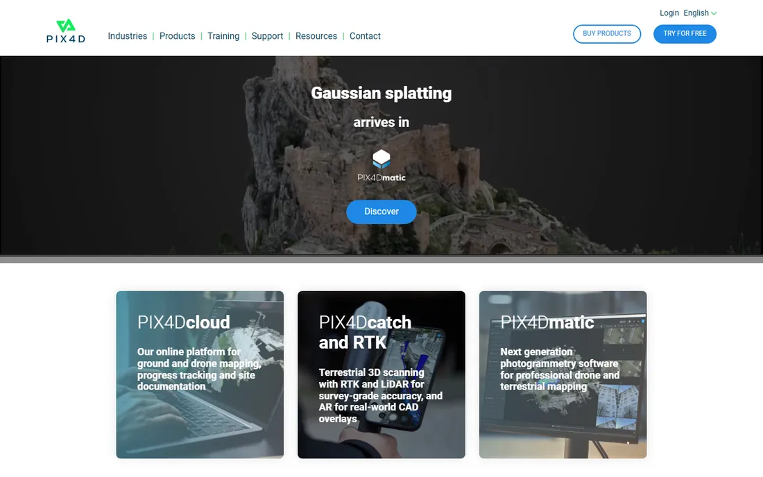
Pix4D is the name surveyors trust: Pix4Dmapper and its cloud siblings turn drone imagery into survey-grade orthomosaics, point clouds and 3D models with rigorous georeferencing. Pix4Dcapture handles flight planning, closing the loop from mission to map.
Accuracy claims are backed by years of use in land surveying, where centimeter-level results with ground control points are routine. Pricing is subscription-based with cloud processing options. For professionals whose maps carry legal or engineering weight, it is the default.
What we like- Trusted accuracy for surveying
- Mature flight and processing apps
- Strong support and training
Watch out for- Subscription pricing
- Learning curve for advanced outputs
- Cloud processing credits add cost
Starting priceSee website
Free planNo
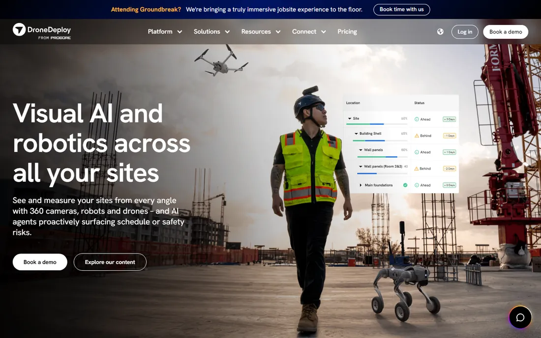
DroneDeploy made drone mapping accessible: plan flights in the app, fly, upload images, and get maps, 3D models and progress reports in the cloud. Construction progress tracking, with timeline comparisons and measurements, is its killer application.
The platform approach means less control over processing parameters than Pix4D or Metashape, but most users never miss it. Pricing is per-user subscription, which adds up for large teams. For contractors and project managers who want maps without becoming photogrammetry experts, it is the smoothest path.
What we like- Easiest end-to-end workflow
- Excellent construction features
- Strong mobile app
Watch out for- Subscription cost scales with use
- Less control than desktop tools
- Accuracy needs ground control
Starting priceSee website
Free planNo
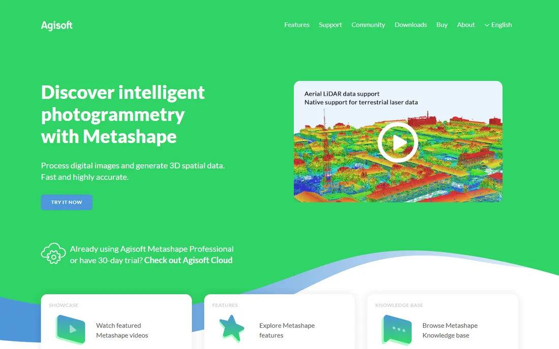
Agisoft Metashape is the desktop photogrammetry workhorse: align photos, build dense clouds, meshes and textures, generate orthomosaics and DEMs, all with fine control over every parameter. Researchers, archaeologists and VFX artists love its flexibility.
The perpetual license stands out in a subscription world, making long-term costs predictable. The interface assumes you know photogrammetry, and serious projects want a strong GPU. For users who value ownership and control over hand-holding, it is unmatched.
What we like- Professional results
- Perpetual license available
- Flexible processing control
Watch out for- Interface is technical
- Hardware-hungry
- Support is community-leaning
Starting priceSee website
Free planNo
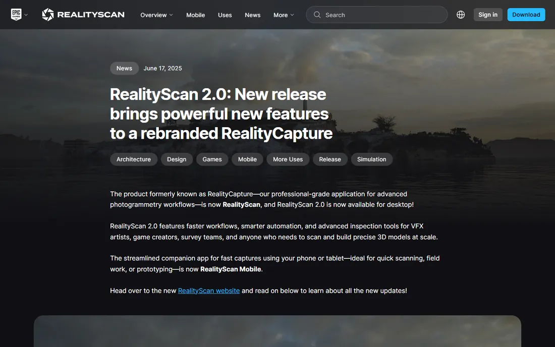
RealityCapture, now part of Epic Games, is famous for speed and visual quality: it reconstructs massive photo sets into detailed 3D models faster than competitors, making it a favorite in gaming, VFX and cultural heritage. The results look spectacular.
Under Epic, licensing moved toward accessible pricing for small users with enterprise tiers above. It is less of a surveying tool than Pix4D, with thinner georeferencing and measurement workflows. For visual 3D reconstruction where quality and speed matter most, it leads.
What we like- Fastest reconstruction engine
- Stunning visual quality
- Now under Epic Games
Watch out for- Pricing model has changed under Epic
- Windows-focused
- Less survey tooling
Starting priceSee website
Free planNo
ContextCapture is Bentley's reality modeling engine for infrastructure scale: entire cities, plants and corridors reconstructed from drone, aerial and ground imagery. It feeds directly into Bentley's digital twin workflows for design, construction and operations.
This is enterprise software with enterprise pricing and complexity. Small-site mappers should look elsewhere. For organizations already in the Bentley ecosystem doing infrastructure-scale reality capture, it is the native choice.
What we like- Built for city-scale projects
- Integrates with Bentley digital twins
- Handles huge datasets
Watch out for- Enterprise pricing
- Complex
- Overkill for small sites
Starting priceSee website
Free planNo
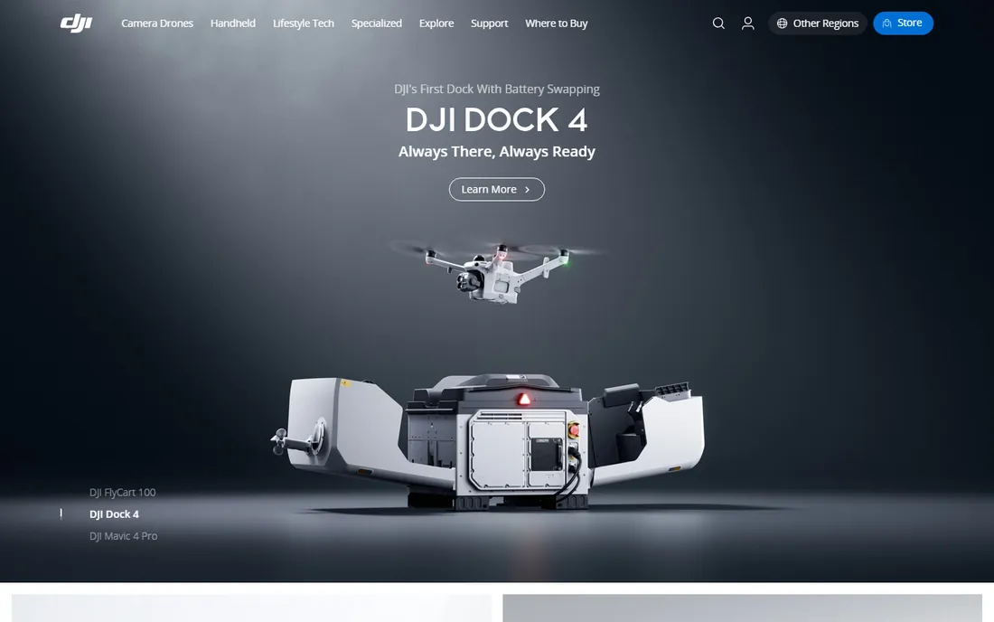
DJI Terra is DJI's own mapping software, optimized for its drones including LiDAR payloads. It processes in the field on a laptop, generating 2D maps and 3D models quickly, which suits operators who want results before leaving the site.
Tight hardware integration is the advantage: flight data flows straight in. The tradeoff is flexibility; surveyors needing advanced georeferencing often prefer Pix4D. DJI drone owners doing routine mapping will find it the path of least resistance.
What we like- Tight integration with DJI drones
- Fast field processing
- 3D modeling and LiDAR support
Watch out for- DJI-centric
- Less flexible than Pix4D
- Licensing per device options confuse
Starting priceFree
Free planYes
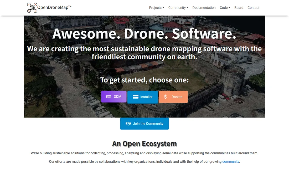
WebODM is the open-source answer to commercial mapping suites: a free, community-driven toolkit that generates point clouds, orthophotos, DEMs and 3D models from drone imagery. No licenses, no subscriptions, no upload limits.
Running it well needs technical comfort, Docker and decent hardware, and processing is slower than Pix4D or Metashape. But for researchers, educators, hobbyists and budget-limited organizations, it produces genuinely usable maps at zero software cost.
What we like- Free and open source
- No subscription
- Active community
Watch out for- Setup needs technical skill
- Slower than commercial engines
- Support is community-based
Starting priceSee website
Free planNo
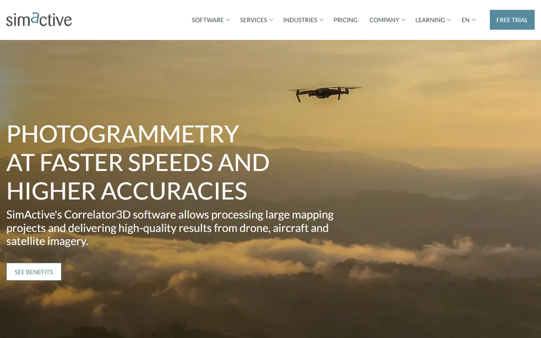
SimActive's Correlator3D emphasizes speed: GPU-accelerated photogrammetry that chews through large image sets quickly, aimed at mapping firms processing big areas on deadlines. It covers the standard outputs: orthomosaics, DSMs, point clouds and 3D models.
As a smaller vendor, it lacks the training ecosystem and integrations of Pix4D. Mapping firms that prioritize throughput and can evaluate on results may find it a compelling alternative, especially for large-area projects.
What we like- Very fast processing
- Handles large projects
- GPU-accelerated
Watch out for- Smaller vendor
- Less ecosystem
- Sales-led pricing
How we chose
We reviewed vendor product pages, documentation and practitioner communities in surveying, construction and research. We compared output types, accuracy workflows, processing speed, flight planning integration, pricing models and platform availability. We excluded pure LiDAR processing tools without photogrammetry. We did not claim hands-on testing.
Buying guide: choosing photogrammetry software
Start with accuracy requirements. Survey-grade deliverables need ground control workflows and rigorous georeferencing, pointing to Pix4D or Metashape. Visual models and progress tracking tolerate looser accuracy, where DroneDeploy or RealityCapture shine.
Consider where processing happens. Cloud platforms like DroneDeploy remove hardware worries but add subscription and upload time. Desktop tools like Metashape need a strong GPU but keep data local and costs predictable. Field processing favors DJI Terra for DJI operators.
Budget honestly. Subscriptions suit ongoing commercial work; perpetual licenses suit intermittent use. WebODM proves that capable mapping is possible at zero cost if you have technical skill and time.
Accuracy fundamentals
Software is only one third of accuracy. Flight planning matters: sufficient overlap, consistent altitude and good lighting. Ground control matters more: surveyed GCPs transform pretty models into trustworthy maps. Always validate against independent check points before delivering survey-grade work, whatever the software claims.
Sensors and flight planning matter as much as software
Camera quality sets the ceiling for photogrammetry results. Mechanical shutters avoid rolling-shutter distortion, larger sensors capture more detail, and RTK or PPK positioning dramatically improves accuracy without dense ground control. Plan flights with 75 to 80 percent forward overlap and 65 to 70 percent side overlap, fly at consistent altitude, and avoid harsh midday shadows. For LiDAR-equipped drones, remember that photogrammetry and LiDAR complement each other: LiDAR penetrates vegetation while photogrammetry delivers superior textures and color.
Regulations and licensing for commercial drone mapping
Commercial drone mapping is regulated in most countries, and the rules affect your software and workflow choices. Many jurisdictions require pilot certification, drone registration, and sometimes specific approvals for mapping operations near people or infrastructure. Some countries restrict where mapping data can be processed or stored, which matters when choosing between cloud platforms and desktop software. Insurance is effectively mandatory for commercial work. Keep flight logs, as regulators and clients increasingly require them; several flight apps generate these automatically. Check your national aviation authority's current rules before buying equipment, since compliant operations shape everything from drone choice to data handling.
Frequently asked questions
What is the best drone photogrammetry software?
Pix4D for survey-grade mapping, DroneDeploy for easy cloud workflows, Agisoft Metashape for perpetual-license control, WebODM for free open-source mapping.
How much does drone mapping software cost?
Commercial tools are subscription-based, typically hundreds to thousands per year, with enterprise tiers higher. Metashape offers a perpetual license. WebODM is free.
Do I need a special drone for photogrammetry?
Most camera drones work; mapping-specific drones add RTK positioning and mechanical shutters for better accuracy. DJI's enterprise drones pair naturally with DJI Terra.
What is an orthomosaic?
A geometrically corrected aerial image composite with uniform scale, usable as a map. It is the most common photogrammetry deliverable for surveying and construction.
How accurate is drone photogrammetry?
With ground control points and good technique, centimeter-level accuracy is routine with Pix4D or Metashape. Without ground control, expect meter-level accuracy from GPS alone.
Can I process drone maps for free?
Yes, with WebODM. It is open source and produces orthophotos, point clouds and 3D models at no software cost, though you need capable hardware.
Pix4D vs DroneDeploy: which is better?
Pix4D offers more accuracy control for surveying professionals. DroneDeploy offers a simpler cloud workflow for construction teams. Choose based on who operates it.
What drone is best for mapping?
Mapping drones with mechanical shutters and RTK positioning, such as DJI's enterprise models, deliver the best photogrammetry results. Consumer drones work for less demanding projects.
How many ground control points do I need?
Five to ten well-distributed GCPs suit most small sites; larger areas need more. With RTK drones, fewer GCPs serve mainly as independent checks.
Can I map without internet access?
Yes. Desktop tools like Metashape and Pix4Dmapper process fully offline. DJI Terra processes in the field on a laptop. Only cloud platforms require connectivity.
How long does processing take?
It depends on image count and hardware: a few hundred images process in under an hour on a good GPU; thousands can take many hours or overnight. Cloud platforms vary by plan.
What overlap do I need for 3D models?
Aim for 75 to 80 percent forward overlap and 65 to 70 percent side overlap. Higher overlap improves 3D reconstruction at the cost of more images and longer flights.
Can I use photogrammetry indoors?
Yes, with enough overlap and good lighting. Indoor projects need careful flight planning or handheld camera capture instead of drones.
Do I need ground control with RTK drones?
RTK greatly reduces GCP needs, but a few independent check points remain best practice to verify accuracy claims.
What computer specs do I need for photogrammetry?
A strong multi-core CPU, 32GB-plus RAM, and a capable NVIDIA GPU for tools that use it. Large projects benefit from fast NVMe storage for image sets.
Sources we checked (8)
- https://www.pix4d.com
- https://www.dronedeploy.com
- https://www.agisoft.com
- https://www.capturingreality.com
- https://www.bentley.com
- https://www.dji.com
- https://www.opendronemap.org
- https://www.simactive.com
Is your product missing or out of date?
We review this list regularly. Vendors can request a listing, send updated pricing or ask about featured placement.

Shihab Mia · Founder, Rankite
Shihab has spent more than a decade helping SaaS and e-commerce brands grow through search. He writes Rankite's software buying guides from pricing pages, documentation and public user reviews. More about Shihab.
 Pix4D
Pix4D DroneDeploy
 Agisoft Metashape
 RealityCapture
 Bentley ContextCapture
 DJI Terra
 WebODM
 SimActive Correlator3D