How we make this list: we compare pricing pages, product documentation and public user reviews. Rankite is independent; if a vendor ever pays for a featured spot, that listing is clearly labeled Partner.
Key takeaways
- Global Mapper is the most versatile buy for small survey teams. LiDAR, GIS and terrain analysis in one affordable license.
- LP360 and TerraScan are the professional standards for aerial LiDAR production. Choose them when classification quality and throughput drive revenue.
- CloudCompare is free and genuinely capable. For visualization, comparison and research work it is hard to justify paying.
- LiDAR360 suits forestry, mining and power-line work with its specialized modules. Niche buyers get more value here than from general tools.
- TopoDOT, Orbit GT and Leica Cyclone 3DR serve specific workflows: DOT extraction, mobile mapping publishing and high-end registration.
Quick comparison
| Tool | Best for | Starting price | Free plan |
|---|
 Global Mapper Global Mapper | Versatile GIS plus LiDAR | See website | Free trial |
 LP360 LP360 | Aerial LiDAR production | See website | Free trial |
 TerraScan TerraScan | High-end point classification | See website | Free trial |
 CloudCompare CloudCompare | Free point cloud work | See website | Yes |
 LiDAR360 LiDAR360 | Forestry, mining, power lines | See website | Free trial |
 TopoDOT TopoDOT | DOT feature extraction | See website | Free trial |
 Orbit GT Orbit GT | Mobile mapping publishing | See website | Free trial |
 Leica Cyclone 3DR Leica Cyclone 3DR | Precision registration and meshing | See website | Free trial |
Is your product missing or out of date?
We review this list regularly. Vendors can request a listing, send updated pricing or ask about featured placement.
LiDAR software turns billions of raw points into classified clouds, terrain models and deliverables. The tools below range from free research software to production systems that process entire counties.
Starting priceSee website
Free planFree trial
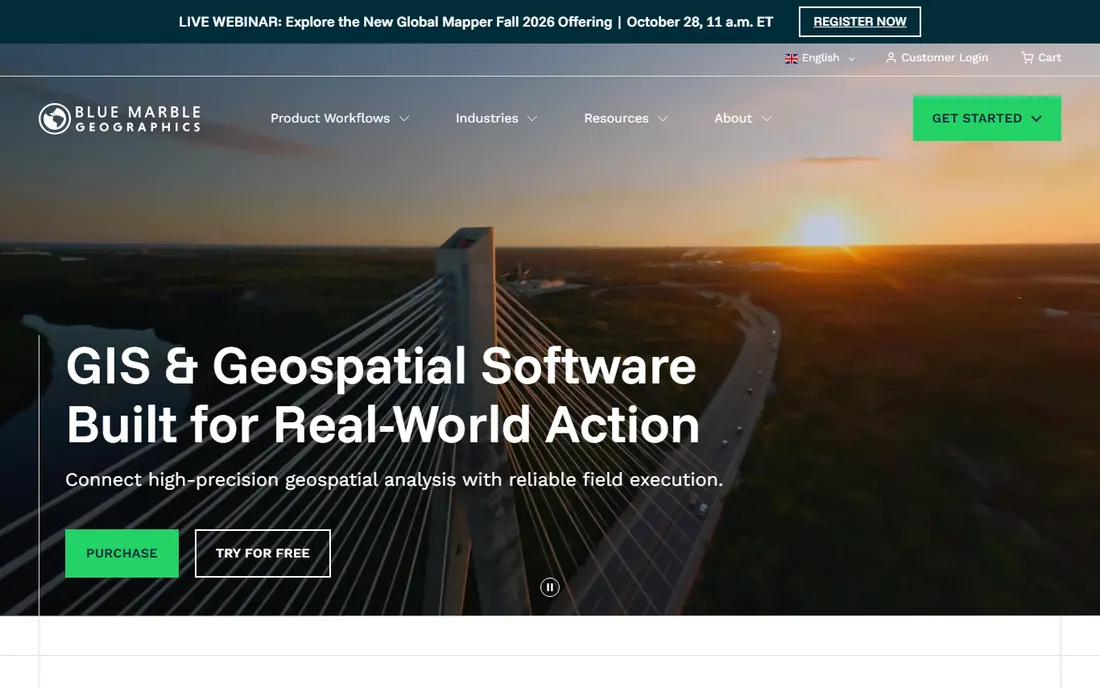
Global Mapper from Blue Marble Geographics is the Swiss army knife of geospatial software. It handles LiDAR point cloud viewing, filtering, classification and derivative products like DEMs and contours, sitting inside a full GIS with raster, vector and 3D analysis. For small firms that cannot buy five tools, it covers most jobs acceptably.
The honest catch is depth. Its automatic classification is decent but not at the level of LP360 or TerraScan, and power users will miss the fine control of dedicated LiDAR suites. It wins on value and versatility: one license, many workflows.
What we like- Combines GIS, terrain and LiDAR in one package
- Affordable annual license
- Fast with large datasets
Watch out for- Classification tools trail the specialists
- Interface prioritizes function over polish
Starting priceSee website
Free planFree trial
LP360 from GeoCue is a workhorse of the aerial mapping industry. It handles the full production chain: point cloud QC, automated and manual classification, feature extraction and product generation. The ArcGIS Pro add-in lets analysts work inside Esri's environment instead of switching applications.
This is production software with production pricing. Expect a quote, not a buy button, and plan for operator training. For firms flying sensors and delivering classified LiDAR at scale, the throughput and QC tooling justify the cost.
What we like- Purpose-built for LiDAR QC and classification
- ArcGIS Pro integration
- Efficient with massive point clouds
Watch out for- Pricing is quote-based and enterprise-grade
- Learning curve for new operators
Starting priceSee website
Free planFree trial

TerraScan from Terrasolid is the name experienced LiDAR professionals mention with respect. Its classification algorithms and manual editing tools set the standard for accuracy, and its trajectory processing handles the messy reality of mobile and airborne sensors. National mapping agencies and top-tier survey firms build pipelines on it.
The cost is real in money and time. Licensing is premium, and the software rewards expertise: beginners will be slow. When deliverable quality is the contract requirement, TerraScan is the safe professional choice.
What we like- Industry benchmark for classification accuracy
- Deep control over every processing step
- Strong trajectory and calibration tools
Watch out for- Runs inside MicroStation or as standalone with cost
- Expensive and demanding to learn
Starting priceSee website
Free planYes
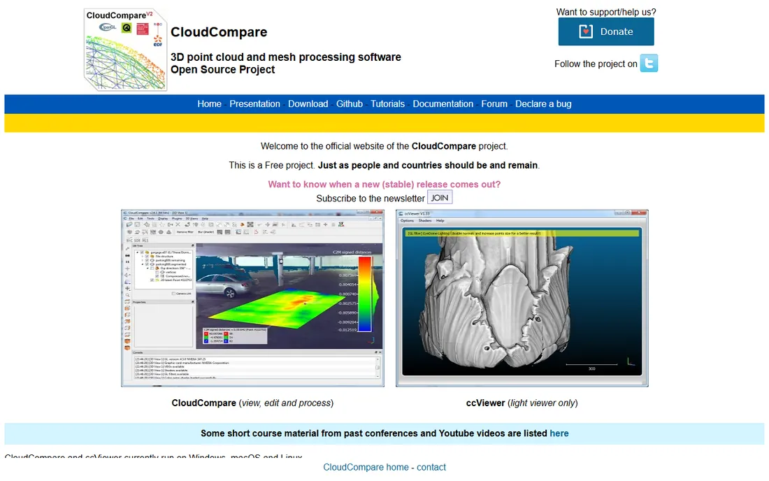
CloudCompare started as a tool for comparing dense point clouds and grew into a general 3D processing workbench. It registers clouds, computes distances, segments, measures and visualizes beautifully. Researchers, students and small teams use it daily for real work.
It is not a production LiDAR pipeline. Automated classification, batch processing and deliverable generation are thin or absent. But for inspection, analysis and one-off processing, it is remarkable that this costs nothing. Every LiDAR shop should have it installed regardless of what else they buy.
What we like- Free and open source
- Excellent for visualization, comparison and measurement
- Plugin ecosystem extends it far
Watch out for- No production classification workflow
- Interface is research-grade
Starting priceSee website
Free planFree trial
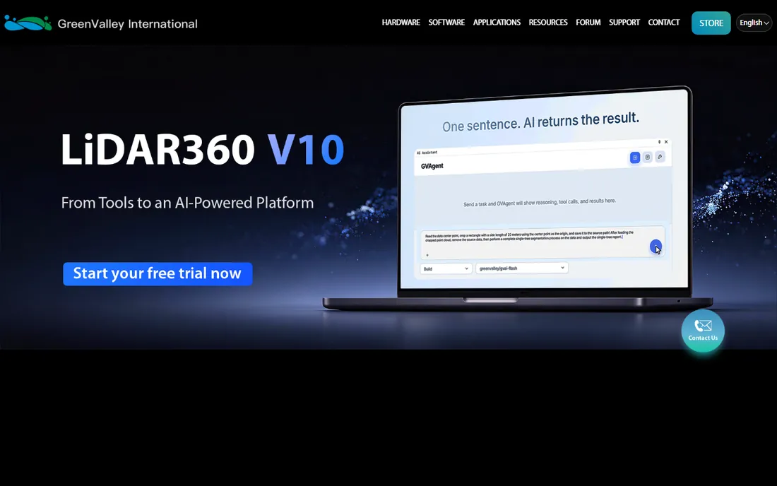
LiDAR360 from GreenValley International targets industries rather than generic processing. Its forestry module segments individual trees and estimates biomass; the mining module models open pits and tracks volumes; the power-line module inspects corridors. For those buyers, the specialized tools beat adapting a general package.
Outside its niches it is a competent but unremarkable LiDAR suite. The community is smaller than TerraScan's or Global Mapper's, so troubleshooting help is thinner. Buy it when your industry module matches your work.
What we like- Specialized modules for forestry, mining and power-line inspection
- Handles very large datasets
- One-time pricing option
Watch out for- General classification trails the big two
- Smaller user community for support
Starting priceSee website
Free planFree trial
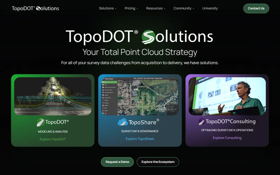
TopoDOT lives inside MicroStation and does one job extremely well: extracting the planimetric features, breaklines and models that departments of transportation require. Its extraction tools are tuned for road corridors, and experienced operators produce DOT deliverables fast.
It is not a standalone LiDAR processor. You bring the classified point cloud from another tool and TopoDOT turns it into the deliverable. The usage-based pricing option suits firms with spiky project loads. Transportation surveyors know it; everyone else can skip it.
What we like- Purpose-built for extracting DOT deliverables
- Efficient manual extraction tools
- Usage-based pricing option
Watch out for- Narrow focus on transportation workflows
- Requires point cloud input from other tools
Starting priceSee website
Free planFree trial

Orbit GT specializes in mobile mapping: vehicle-mounted LiDAR and imagery processed into web-published datasets that clients can measure and explore in a browser. Cities, utilities and engineering firms use it to share corridor data without shipping hard drives.
It is a publishing and exploitation platform more than a processing suite. Pricing is quote-based and the product assumes mobile mapping workflows. If your deliverable is "the client explores the data themselves," Orbit GT is built for that exact sentence.
What we like- Publishes massive mobile mapping data for web viewing
- Strong measurement tools
- Multi-sensor support
Watch out for- Niche product with quote pricing
- Overkill for simple point cloud tasks
Starting priceSee website
Free planFree trial
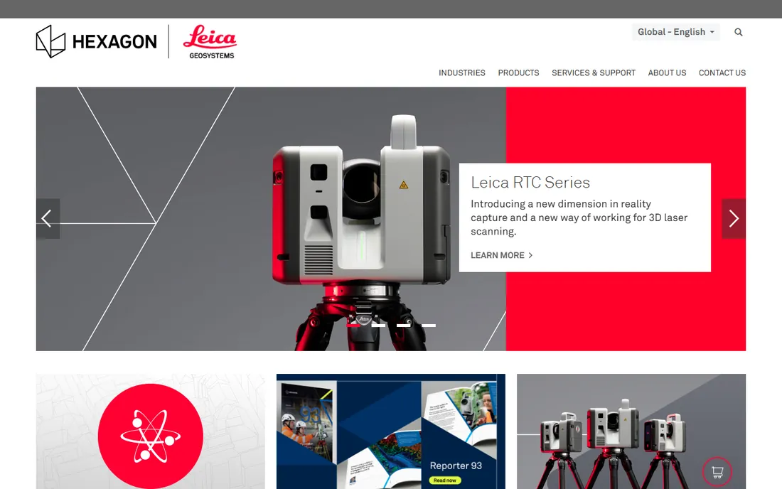
Leica Cyclone 3DR is the professional choice for terrestrial laser scanning: registering scan stations, cleaning clouds, meshing and extracting precise geometry. Its integration with Leica hardware is tight, and the accuracy satisfies metrology, forensics and industrial inspection requirements.
The price and focus reflect the audience. Aerial LiDAR shops will find it less relevant than LP360 or TerraScan. For scan-to-model workflows where millimeters matter, it is the reference tool.
What we like- Best-in-class registration and meshing
- Tight integration with Leica scanners
- Trusted in metrology and forensics
Watch out for- Premium pricing
- Oriented toward terrestrial scanning workflows
How we chose
We compared tools on classification quality, dataset capacity, format support (LAS, LAZ, E57), production workflow features, pricing transparency and industry fit. We consulted vendor documentation, independent comparisons, and user discussions in geospatial forums. We weighted real production use over feature lists. We did not run hands-on tests of every product.
LiDAR software buying starts with two facts: what sensor collected the data, and what the client expects to receive. Aerial topographic LiDAR heading for classified LAS and DEMs points to LP360 or TerraScan. Terrestrial scans heading for models point to Cyclone 3DR. Mobile mapping heading for web delivery points to Orbit GT. Transportation plans point to TopoDOT on top of a classified cloud.
Budget reality matters too. A two-person survey firm cannot buy like a national mapping agency. Global Mapper plus CloudCompare covers an enormous range of work for modest money, and many small firms never need more. Buy the specialist tool when a specific deliverable or contract demands it, not before.
Always confirm format support before committing. LAS and LAZ are universal, but trajectory formats, scanner-native formats and E57 handling vary. Ask the vendor to process a sample of your actual data during the trial. A demo on clean sample data proves nothing about your messy real-world captures.
Classification quality is the real differentiator
Every tool here can display a point cloud. The expensive difference is classification: separating ground, vegetation, buildings, wires and noise automatically and accurately. This is where TerraScan and LP360 earn their pricing, and where general tools fall short.
Evaluate classification on your own data with your own accuracy requirements. Run the trial on a representative tile, check ground classification in difficult terrain, and measure how much manual cleanup remains. A tool that classifies 90 percent correctly and one that manages 97 percent look similar in a demo and feel very different across a hundred square kilometers.
Trial it on your own data before you buy
Vendor demos use clean sample data that flatters every product. Your data is messier: noisy returns, water surfaces, moving cars, overlapping flight lines. The only trial that matters is one run on a representative tile of your actual captures.
Set a simple scorecard before the trial starts. Time how long classification takes on a known area. Measure accuracy against a manually classified control tile. Note how much manual cleanup the result needs, and whether the export meets your client's format spec. Run the same tile through two competing tools and the winner usually picks itself.
Involve the operator who will use it daily. A tool the senior processor loves and the junior dreads is a training problem you are buying. And confirm licensing terms during the trial: node-locked versus floating, how many machines, what support costs after year one. The sticker price is only the first line of the real cost.
Frequently asked questions
What is the cheapest good LiDAR processing software?
CloudCompare is free and excellent for visualization, analysis and basic processing. For affordable commercial software with real LiDAR tools, Global Mapper's annual license is the best value for small teams.
Which software is best for classifying LiDAR point clouds?
TerraScan and LP360 are the professional standards for classification accuracy and production throughput. Global Mapper and LiDAR360 classify adequately for less demanding work. Always test on your own data before buying.
Can I process LiDAR data without expensive software?
Yes, for many tasks. CloudCompare handles viewing, registration, measurement and basic processing free. Open-source libraries like PDAL cover pipeline processing. You need commercial software mainly for production classification and specific deliverables.
What file formats should LiDAR software support?
LAS and LAZ are the universal exchange formats. E57 matters for terrestrial scanning exchange. Check that your tool reads your sensor's native format and writes clean, standards-compliant LAS on export.
How much does professional LiDAR software cost?
It ranges from free (CloudCompare) to affordable annual licenses (Global Mapper) to quote-based enterprise pricing (LP360, TerraScan, Cyclone 3DR). Expect four to five figures annually for production-grade classification suites.
Do I need a powerful computer for LiDAR processing?
Yes. Large point clouds demand RAM, fast SSDs and a decent GPU. 32GB of RAM is a practical minimum for serious work, and 64GB helps with county-scale datasets. The software matters, but the workstation matters too.
Sources we checked (10)
- https://www.bluemarblegeo.com
- https://www.geocue.com
- https://www.terrasolid.com
- https://www.cloudcompare.org
- https://www.greenvalleyintl.com
- https://www.topodot.com
- https://www.orbitgt.com
- https://www.leica-geosystems.com
- https://www.itechguides.com/best/point-cloud-software/
- https://sourceforge.net/software/lidar/
Is your product missing or out of date?
We review this list regularly. Vendors can request a listing, send updated pricing or ask about featured placement.

Shihab Mia · Founder, Rankite
Shihab has spent more than a decade helping SaaS and e-commerce brands grow through search. He writes Rankite's software buying guides from pricing pages, documentation and public user reviews. More about Shihab.