How we make this list: we compare pricing pages, product documentation and public user reviews. Rankite is independent; if a vendor ever pays for a featured spot, that listing is clearly labeled Partner.
Key takeaways
- Mappedin and Concept3D lead for interactive indoor maps and campus wayfinding.
- 22Miles and Visix suit venues wanting kiosks plus mobile wayfinding.
- Pointr, MazeMap, and Situm focus on indoor positioning and navigation.
- Inpixon covers wayfinding within broader indoor intelligence.
- Expect demos and quotes; pricing scales with venue size.
Where digital wayfinding gets used
Digital wayfinding guides people through spaces where GPS does not reach: hospitals, airports, malls, campuses, offices, and event venues. Interactive maps on kiosks, phones, and websites show turn-by-turn indoor routes, searchable directories, and real-time information like wait times or room availability.
The technology behind it varies. Some platforms build beautiful maps from floor plans with routes drawn by staff. Others add indoor positioning through Bluetooth beacons, Wi-Fi, or phone sensors for blue-dot navigation. The right approach depends on venue size, visitor needs, and budget.
Pricing is quote-based and scales with venue area, map count, or users. Demos are the standard evaluation path.
Quick comparison
| Tool | Best for | Starting price | Free plan |
|---|
 Mappedin Mappedin | Venues wanting powerful interactive indoor maps | See website | No, demo available |
 Concept3D Concept3D | Universities and large campuses | See website | No, demo available |
 22Miles 22Miles | Venues wanting kiosks plus mobile wayfinding | See website | No, demo available |
 Visix Visix | Organizations combining signage with wayfinding | See website | No, demo available |
 Pointr Pointr | Enterprises needing indoor positioning at scale | See website | No, demo available |
 MazeMap MazeMap | Campuses and hospitals wanting managed service | See website | No, demo available |
 Situm Situm | Infrastructure-light indoor positioning | See website | No, demo available |
 Inpixon Inpixon | Wayfinding within broader indoor intelligence | See website | No, demo available |
Is your product missing or out of date?
We review this list regularly. Vendors can request a listing, send updated pricing or ask about featured placement.
How we chose
We selected platforms with real wayfinding deployments in venues, campuses, or enterprises. We looked for interactive mapping, routing, and multi-device delivery across kiosks, web, and mobile.
We covered both map-first and positioning-first approaches because venues choose differently. We weighed ease of map creation and maintenance, since stale maps are worse than none, and checked for credible customer deployments. Vendor claims were checked against product documentation.
Starting priceSee website
Free planNo, demo available
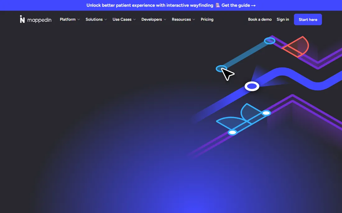
Mappedin provides the tools to create and maintain detailed indoor maps, then deliver them across web, mobile apps, and kiosks. Venue teams upload floor plans and refine them in a visual editor, keeping maps current without vendor help.
Real-time data layers can show occupancy, wait times, or promotions on the map. The SDKs let developers embed maps in their own apps with full customization.
Indoor blue-dot positioning is possible but needs additional infrastructure. For map quality and maintainability, Mappedin is the leader.
What we like- Excellent map creation tools
- Real-time updates
- Multi-platform delivery
- Strong developer SDKs
Watch out for- Positioning needs extra setup
- Pricing is quote-based
- Best for teams with map maintainers
Starting priceSee website
Free planNo, demo available
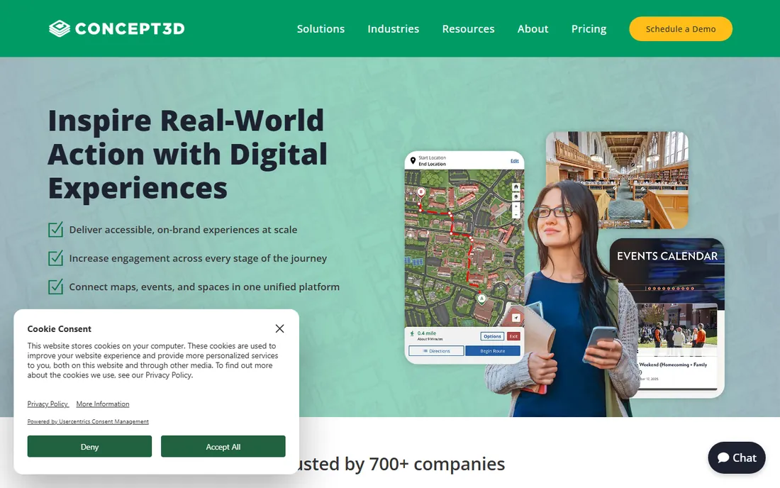
Concept3D is the campus wayfinding standard, with interactive 3D maps that help students and visitors navigate sprawling universities. Virtual tours, event maps, and accessibility routing extend beyond basic directions.
The maps are genuinely beautiful, which matters for admissions and visitor experience. Admins maintain content without coding once the initial build is live.
Rollout takes months on large campuses, and routes need maintenance as buildings change. For universities, the proven track record justifies the investment.
What we like- Campus standard with many universities
- Beautiful 3D maps
- Tour and event features
- Good accessibility options
Watch out for- Implementation takes months
- Pricing is enterprise-grade
- Best for large campuses
Starting priceSee website
Free planNo, demo available
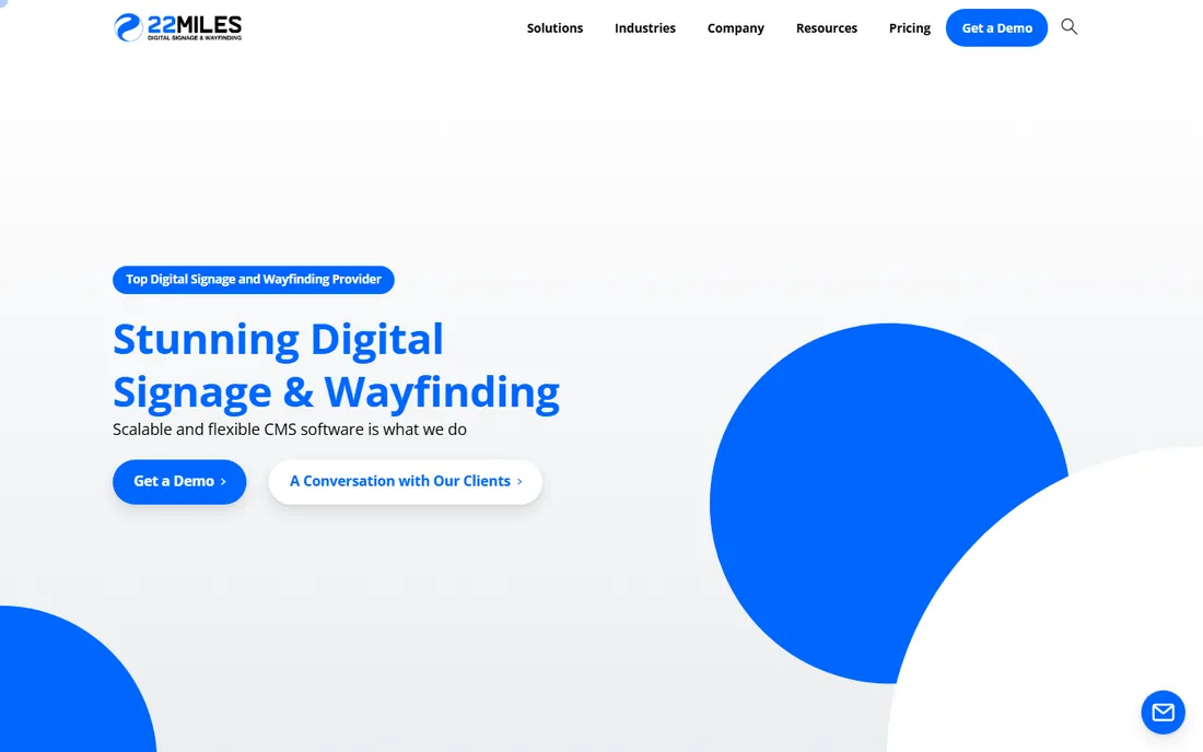
22Miles built its name on interactive kiosks and digital signage, then extended into 3D wayfinding across kiosks, mobile, and web. Large venues like airports and hospitals use it for consistent visitor guidance on every screen.
The content management system handles wayfinding alongside announcements, directories, and advertising. 3D maps give visitors an intuitive sense of complex buildings.
Kiosk hardware is an added investment, and the mobile experience trails map-first rivals. For screen-heavy venue strategies, 22Miles is purpose-built.
What we like- Strong kiosk and digital signage heritage
- 3D wayfinding
- Content management
- Good for large venues
Watch out for- Pricing is quote-based
- Kiosk hardware adds cost
- Mobile experience secondary to kiosks
#4
Visix
Best for: Organizations combining signage with wayfinding
Visit visix.com
Starting priceSee website
Free planNo, demo available
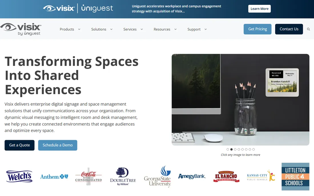
Visix approaches wayfinding as part of workplace communications: digital signs that show directions alongside announcements, room schedules, and alerts. Corporate campuses and healthcare facilities use it to keep every screen useful.
The integration with room booking and event systems means directories stay current automatically. Hardware bundles simplify deployment for IT teams.
Pure wayfinding depth trails Mappedin and Concept3D. But when signage and wayfinding must work as one system, Visix is the natural choice.
What we like- Deep digital signage expertise
- Wayfinding integrated with communications
- Reliable hardware options
- Good support
Watch out for- Wayfinding less deep than specialists
- Pricing is quote-based
- Best for signage-first buyers
Starting priceSee website
Free planNo, demo available
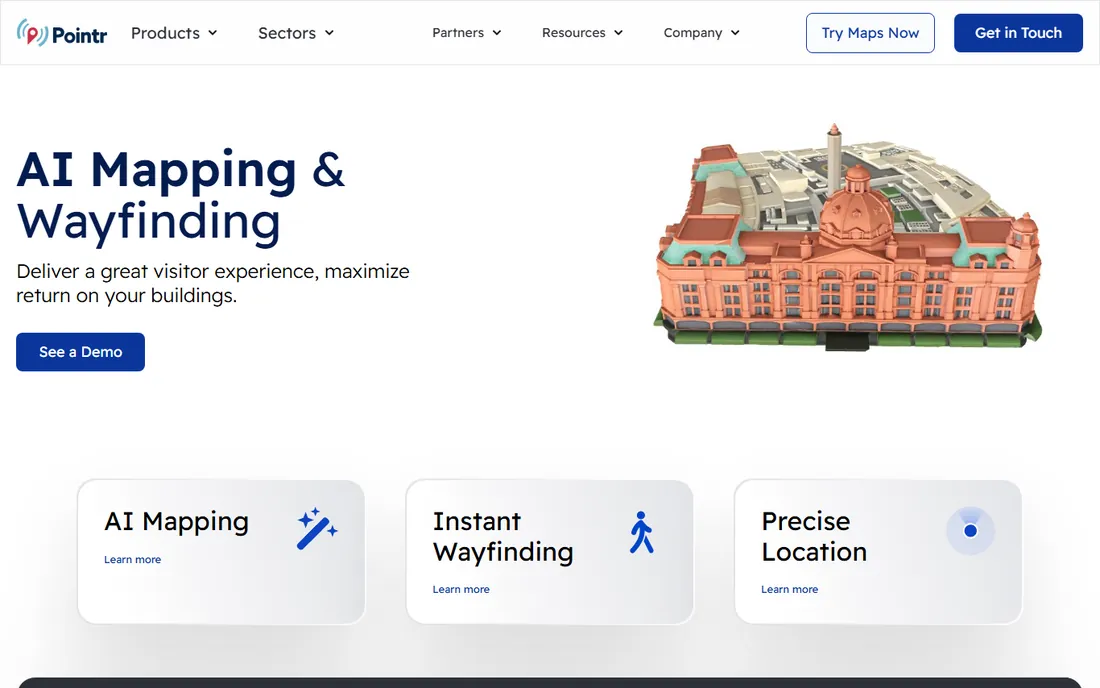
Pointr focuses on the positioning layer: accurate indoor location through Bluetooth and sensor fusion, with wayfinding built on top. Large airports, offices, and smart buildings use it for blue-dot navigation at scale.
The analytics show how people actually move through spaces, informing layout and operations decisions. The platform approach suits enterprises deploying across many venues.
It is more technical than map-first tools, and beautiful maps need design effort. For positioning accuracy as the priority, Pointr leads.
What we like- Strong indoor positioning technology
- Scalable platform
- Good analytics
- Proven in large venues
Watch out for- Technical implementation
- Pricing is enterprise-grade
- Map design less of a focus
Starting priceSee website
Free planNo, demo available
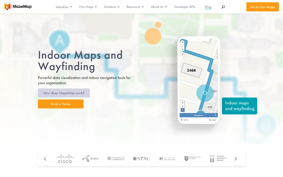
MazeMap delivers indoor wayfinding as a managed service: they build and maintain the maps while your venue gets working navigation on web and mobile. Hospitals and universities with limited GIS staff like the hands-off model.
Indoor positioning works without heavy beacon infrastructure in many buildings. Accessibility features, including step-free routing, serve all visitors.
Teams that want full control over their maps may find the managed model limiting. For venues that want wayfinding handled, it is the low-effort option.
What we like- Managed service reduces staff burden
- Strong in healthcare and education
- Indoor positioning included
- Good accessibility
Watch out for- Less self-service control
- Pricing is quote-based
- Customization has limits
Starting priceSee website
Free planNo, demo available
Situm's pitch is indoor positioning without the infrastructure project: using smartphone sensors and existing Wi-Fi to locate users, reducing or eliminating beacon deployments. That makes pilots fast and cheap.
The platform covers wayfinding, asset tracking, and workplace apps on the positioning foundation. Venues can start small and expand as value proves out.
Positioning accuracy depends on building characteristics, so test in your actual space. For quick, low-infrastructure starts, Situm is the pragmatic choice.
What we like- Works with minimal hardware
- Smartphone-sensor positioning
- Quick deployment
- Flexible platform
Watch out for- Accuracy varies by building
- Smaller vendor
- Map design tools basic
Starting priceSee website
Free planNo, demo available
Inpixon, which includes the Jibestream mapping technology, offers wayfinding as part of a broader indoor intelligence platform spanning real-time location, analytics, and security. Corporate campuses and industrial sites get navigation plus operational insight.
The mapping tools are mature from the Jibestream heritage, and the platform handles the complexity of large multi-building deployments. Analytics on space utilization inform real estate decisions.
Buyers who only need wayfinding may find the platform more than necessary. For indoor intelligence with navigation included, Inpixon is comprehensive.
What we like- Combines maps with RTLS and analytics
- Good for industrial and corporate campuses
- Jibestream mapping heritage
- Comprehensive platform
Watch out for- Complex product range
- Pricing is enterprise-grade
- Wayfinding is one module among many
Evaluating wayfinding vendors
Start with the visitor problem. Simple directory-style guidance needs good maps, which favors Mappedin, Concept3D, and 22Miles. True turn-by-turn indoor navigation needs positioning, which favors Pointr, MazeMap, Situm, and Inpixon.
Pilot in your actual building, because positioning accuracy and map usability only show in situ. And plan for map maintenance from day one: assign owners, budget time, and pick a platform your staff can actually update.
Wayfinding project mistakes
The most visible mistake is launching beautiful maps and never updating them. Tenants move, rooms get renumbered, construction closes corridors, and within a year the maps mislead the visitors they were built to help. Assign map ownership explicitly, budget maintenance time, and audit quarterly. Stale maps are worse than no maps because they destroy trust.
Second, designing for the desktop instead of the visitor. Wayfinding teams perfect the kiosk interface while most visitors navigate on phones with one hand in a crowded lobby. Test on real phones in the real building, with real visitors who have never seen the system. Their confusion is your requirements list.
Third, skipping accessibility. Step-free routing, high-contrast modes, and screen reader support are not extras; for many visitors they are the entire point. Build accessibility in from the start, because retrofitting it later costs more and works worse.
Fourth, underestimating indoor positioning complexity. Blue-dot navigation looks magical in the vendor demo and behaves differently in your concrete-and-steel building. Pilot positioning in the actual venue before committing the budget, and have a fallback plan of excellent static maps if accuracy disappoints.
Finally, forgetting promotion. The best wayfinding system helps nobody if visitors never notice it. Place QR codes at entrances and decision points, mention the maps in confirmations and signage, and train front-desk staff to point people to them. Discovery is part of the project.
Frequently asked questions
How does indoor positioning work without GPS?
Through Bluetooth beacons, Wi-Fi fingerprinting, phone sensors, or combinations. Accuracy ranges from a few meters with beacons to room-level with Wi-Fi, depending on the technology and building.
Do visitors need to install an app?
Not necessarily. Web-based maps work through QR codes with no install, while blue-dot navigation usually needs an app. Kiosks need nothing from the visitor at all.
How much does digital wayfinding cost?
Small venues can start in the low five figures annually; large campuses and airports run into six figures including hardware. Pricing typically scales with venue size and map count.
How long does implementation take?
Simple map deployments take weeks. Full positioning rollouts with hardware take three to six months. Campus projects with many buildings take longer.
Who maintains the maps after launch?
Your staff, ideally, using the vendor's editor. Managed services like MazeMap handle it for you. Either way, assign clear ownership or maps go stale.
How do we keep wayfinding accurate during construction?
Treat construction as a first-class content workflow, not an exception. Assign someone to update maps before barriers go up, publish detour routes prominently, and date-stamp temporary changes so they get reverted. Digital wayfinding earns its keep here: updating a map beats reprinting signs across a campus. Communicate major changes through the same channels visitors already use, and verify the temporary routes physically. The venues that handle this well make construction feel managed rather than chaotic.
What about visitors who do not use smartphones?
They still need guidance, which is why kiosks and physical signage remain part of good wayfinding strategy. Place interactive kiosks at main entrances and key decision points, keep static signs consistent with the digital maps, and train staff to help. Design the digital experience so its information, directory, routes, hours, is also available in print at help desks. Inclusive wayfinding serves every visitor, not just the tech-comfortable ones.
Sources we checked (0)
Is your product missing or out of date?
We review this list regularly. Vendors can request a listing, send updated pricing or ask about featured placement.

Shihab Mia · Founder, Rankite
Shihab has spent more than a decade helping SaaS and e-commerce brands grow through search. He writes Rankite's software buying guides from pricing pages, documentation and public user reviews. More about Shihab.