How we make this list: we compare pricing pages, product documentation and public user reviews. Ratings come from G2, Capterra or Trustpilot, with the date we checked them.
Key takeaways
- Taranis is the best leaf-level crop intelligence, with submillimeter drone imagery, AI detection of weeds, insects, disease and nutrient issues, and yield-loss estimates in bushels per acre.
- OneSoil is the best satellite monitoring app, used by 140,000+ farmers across 180 countries, with daily AI agronomist reports on what needs attention.
- Climate FieldView is the best connected platform, with 60+ partners and compatibility with most equipment types.
- CropX is the best soil and irrigation monitoring, with 15,000+ sensor deployments and disease risk plus irrigation scheduling.
Quick comparison
Is your product missing or out of date?
We review this list regularly. Vendors can request a listing, send updated pricing or ask about featured placement.
The best apps for crop monitoring
Starting priceSee website
Free planNo
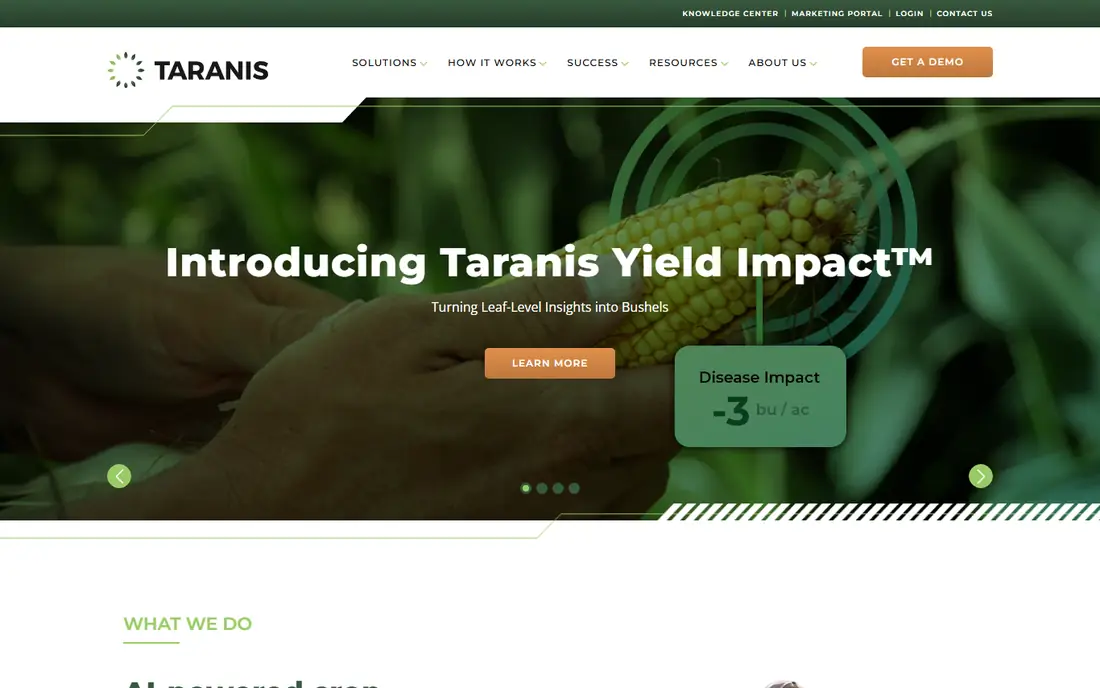
Taranis offers AI-powered crop intelligence at the leaf level, with submillimeter image resolution of every acre collected by drones and delivered to a phone or tablet. Its AI detects stand counts, weed severity, insect damage, nutrient deficiencies, disease pressure and field health, trained on 500 million-plus data points and continuously optimized by agronomy experts. The newer Yield Impact model turns each detected threat into a precise estimate of yield loss in bushels per acre, so growers can weigh treatment cost against expected loss. Ag Assistant, described as the industry's first generative AI-powered agronomy engine, transforms input and management decisions. A May 2026 partnership with Syngenta extends leaf intelligence to precision agronomy at plant level. Pricing was not shown, so check the site. For the deepest crop monitoring available, Taranis is the best tool.
What we like- AI-powered crop intelligence at the leaf level
- Submillimeter image resolution of every acre from drones
- 500M+ data points training the AI
- Yield Impact estimates yield loss in bushels per acre per threat
- Ag Assistant generative AI agronomy engine
- Detects stand counts, weeds, insect damage, nutrient deficiencies, disease pressure and field health
- Syngenta partnership on leaf intelligence
Watch out for- Pricing must be checked on the site
- Advisor-focused service model
- Drone imagery coverage depends on service area
Starting priceSee website
Free planNo
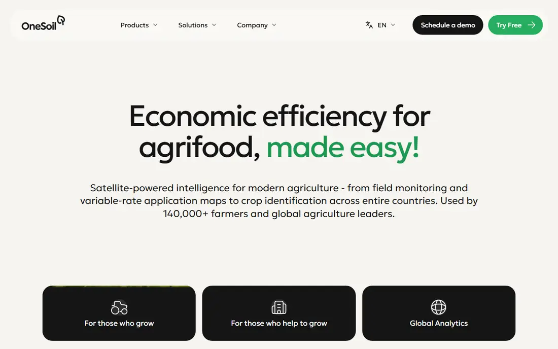
OneSoil turns satellite data and AI into practical day-to-day farming decisions, from field monitoring and variable-rate application maps to crop identification across entire countries. More than 140,000 farmers use it every year across 180 countries, and its AI Agronomist reads every field every day, cross-referencing satellite signals, weather and crop calendar, then delivers one ranked list of what needs attention today. Partners include BASF, Cargill, Bayer and Corteva, with more than 100 global partners in total. Pricing was not shown, so check the site. For affordable, wide-area satellite monitoring, OneSoil is the best app.
What we like- Satellite-powered intelligence for modern agriculture
- 140,000+ farmers across 180 countries
- Field monitoring and variable-rate application maps
- AI Agronomist reads every field every day and ranks what needs attention
- Partners include BASF, Cargill, Bayer and Corteva
- 100+ global partners
Watch out for- Pricing must be checked on the site
- Satellite resolution is coarser than drone imagery
- Cloud cover can delay imagery
#3Climate FieldView
Best for: Connected platform4.5/5 on
G2 (3 reviews, checked Oct 2026)
Visit climate.com
Starting priceSee website
Free planNo
Climate FieldView from Bayer is the most connected platform in crop monitoring, with more than 60 partners and compatibility with most equipment types. Its seed scripts averaged 5 bushels per acre more than self-written scripts in vendor testing, and FieldView Drive 2.0 adds built-in GPS with faster syncing. For growers who want machine data, satellite imagery and partner integrations in one platform, FieldView is the best connected choice.
What we like- Bayer platform
- Most connected platform with 60+ partners
- Compatible with most equipment types
- Seed scripts averaged +5 bushels per acre over self-written scripts
- FieldView Drive 2.0 with built-in GPS and faster syncing
Watch out for- Pricing varies by acreage and must be checked on the site
- Bayer ecosystem focus
- Hardware needed for machine data
Starting priceSee website
Free planNo
CropX combines soil, weather, crop, satellite and operations data into a complete digital agronomy platform covering 80-plus crop types, with more than 15,000 sensor deployments globally, 2,000-plus farm deployments and 180-plus integrations. Its disease risk forecasts and irrigation scheduling help growers water only when needed, with customer stories citing 20 to 30 bushels per acre gains for close followers and one-third irrigation cuts on a Colorado family farm. For soil moisture and irrigation monitoring, CropX is the best tool.
What we like- Complete digital agronomy platform
- Soil, weather, crop, satellite and operations data
- 80+ crop types
- 15,000+ sensor deployments globally
- 2,000+ farm deployments
- 180+ integrations
- Disease risk and irrigation scheduling
- Customer stories cite 20-30 bushels per acre gains and one-third irrigation cuts
Watch out for- Sensor hardware adds cost
- Pricing varies and must be checked on the site
- Setup takes planning
Starting priceSee website
Free planNo
Agworld connects farmers with staff, agronomists, contractors and retailers in one platform, turning recommendations into one-click spray records and tracking financial performance by crop, farm and field. Its standardized, audit-ready data suits compliance and reporting, and the company stresses that the user owns the data, which is never sold. Independent and privately owned since 2009, Agworld claims 99.9% uptime. For monitoring that ties field activity to costs and compliance, Agworld is the best record-centered app.
What we like- Connects farmers with staff, agronomists, contractors and retailers
- One-click spray records from recommendations
- Financial performance by crop, farm and field
- Audit-ready standardized data
- Independent and privately owned since 2009
- 99.9% uptime claim
- User owns data, never sold
Watch out for- Pricing must be checked on the site
- Record-keeping focus, lighter on imagery
- Adoption needs the whole team

#6Bushel Farm
Best for: Field profitability3.5/5 on
G2 (1 reviews, checked Oct 2026)
Visit farmlogs.com
Starting priceSee website
Free planNo
Bushel Farm, formerly FarmLogs, tracks unsold bushels and grain contracts from more than 3,500 facilities across the Bushel Network, giving field-level profitability without spreadsheets. Rainfall notifications per field and real-time price alerts keep growers on top of weather and markets, and integrations with John Deere Operations Center and Climate FieldView connect machine and field data. A 30-day free trial is offered. For growers who monitor crops with an eye on marketing and profit, Bushel Farm is the best app.
What we like- Formerly FarmLogs, now Bushel Farm
- 30-day free trial
- Tracks unsold bushels and grain contracts from 3,500+ facilities across the Bushel Network
- Field-level profitability without spreadsheets
- Rainfall notifications per field
- Real-time price alerts
- Integrates with John Deere Operations Center and Climate FieldView
Watch out for- No ongoing free plan, trial only
- Grain-focused, less suited to livestock or specialty crops
- Pricing must be checked on the site
Starting priceSee website
Free planNo
Solinftec's ALICE AI platform manages the complete agricultural ecosystem, from agronomy through logistics optimization, receiving over half a billion data points daily and delivering real-time solutions rather than problem reports. Operations span 11 countries. For large operations that want AI to coordinate monitoring, machinery and logistics together, Solinftec is the best platform.
What we like- ALICE AI platform for complete agricultural ecosystem management
- Over half a billion data points received daily
- Real-time solutions rather than problem reports
- Operations across 11 countries
- Agronomy through logistics optimization
Watch out for- Pricing must be checked on the site
- Enterprise-leaning
- Implementation needs planning

#8
John Deere Operations Center
Best for: Deere equipment data
Visit deere.com
Starting priceSee website
Free planNo
John Deere Operations Center holds yield, moisture, running hours and field-by-field performance for Deere equipment, with JDLink streaming data in near real time, StarFire guidance, G5 and G5Plus displays, and Equipment Mobile for fuel, hours, maintenance alerts and parts. Precision Essentials bundles three core hardware components at one up-front cost. For farms running Deere machinery, Operations Center turns machine data into crop monitoring with no extra platform needed.
What we like- Holds yield, moisture, running hours and field-by-field performance
- JDLink streams data in near real time
- StarFire guidance
- G5 and G5Plus display
- Equipment Mobile for fuel, hours, maintenance alerts and parts
- Precision Essentials bundles three core hardware components at one up-front cost
Watch out for- Deere equipment focus
- Pricing varies by hardware and must be checked on the site
- Best value inside the Deere ecosystem
How we chose
We picked tools covering the main ways crops are monitored today: leaf-level drone imagery, satellite imagery, soil sensors, connected equipment platforms, farm records, grain profitability, AI operations and equipment data. Each homepage was opened to confirm the product exists and matches its description. Cropwise was checked but left out, since its homepage failed to load during this check and was not retried. Pricing is marked "See website" throughout, since these vendors price by acreage, head count, hardware or dealer, and homepages did not show dollar figures.
How to pick a crop monitoring app
Start with your biggest cost: water, inputs, or lost yield. If irrigation drives costs, a soil sensor platform like CropX pays back fastest. If disease or insects cut yield, leaf-level imagery from Taranis catches problems earlier than satellite views. If you already run Deere equipment, Operations Center adds monitoring without a new platform, and FieldView connects the widest range of machines and partners.
Next, match imagery to acreage. Satellite tools like OneSoil cover thousands of acres cheaply and suit scouting, while drone imagery suits high-value fields where early detection saves real money. Check how the vendor prices: per acre, per sensor, or per service visit, and ask what happens to your data if you leave. A trial on one field, comparing the app's flags against your own scouting notes for a full season, tells you more than any demo. Finally, confirm coverage in your area, since drone services, sensor installers and dealer support vary by region.
Frequently asked questions
What is the best crop monitoring app overall?
Taranis is best for leaf-level detail, OneSoil is best for satellite coverage, and Climate FieldView is best for connected equipment data. The right pick depends on whether you need drone detail, wide-area satellite views, or machine integration.
Do I need drones or sensors for crop monitoring?
No. OneSoil and Bushel Farm work from satellite and market data without hardware, while Taranis uses drones as a service and CropX uses soil sensors. Start with satellite monitoring, then add sensors or drone imagery for problem fields.
How accurate is satellite crop monitoring?
Satellite monitoring shows vegetation zones and trends well, but it cannot match drone imagery for leaf-level issues like early disease or insect damage. Use satellite for scouting priorities, then inspect flagged zones in person or with drone imagery.
What does NDVI mean?
NDVI, or normalized difference vegetation index, compares red and near-infrared light reflected by plants to estimate vegetation health. Darker or lower zones on a vegetation map often signal stress from moisture, compaction or nutrients, and need closer inspection.
Can crop monitoring apps help with irrigation?
Yes. CropX schedules irrigation from soil and weather data, and FieldView and OneSoil flag stress zones that may need water. Vendor stories cite irrigation cuts of around one-third where scheduling follows sensor data closely.
Do these apps work for small farms?
Yes, especially satellite tools like OneSoil, which scale down to single fields. Sensor and drone services suit larger acreage better, since hardware and service costs spread across more acres.
Sources we checked (8)
- https://taranis.com
- https://onesoil.ai
- https://climate.com
- https://cropx.com
- https://agworld.com
- https://farmlogs.com
- https://solinftec.com
- https://www.deere.com
Is your product missing or out of date?
We review this list regularly. Vendors can request a listing, send updated pricing or ask about featured placement.

Shihab Mia · Founder, Rankite
Shihab has 5+ years in B2B and SaaS SEO. He writes Rankite's software buying guides from pricing pages, documentation and public user reviews. More about Shihab.
 Taranis
 OneSoil
 CropX
 Agworld
 Solinftec