How we make this list: we compare pricing pages, product documentation and public user reviews. Ratings come from G2, Capterra or Trustpilot, with the date we checked them.
Key takeaways
- Rock Identifier suits users who want photo-based rock identification with a large mineral database.
- Crystalyze and Geology Toolkit suit users who want photo identification with crystal and geology learning content.
- Rockd and Mindat suit learners who want location geology and authoritative mineral data behind any identification.
- Photo identification is a starting point, not a verdict: hardness, streak, and location narrow results far better than a photo alone.
Quick comparison
| Tool | Best for | Starting price | Free plan |
|---|
 Rock Identifier | Photo rock identification | Free | Yes |
 Crystalyze | Crystal and stone identification | Free | Yes |
 Rockd | Geology maps and identification | Free | Yes |
 Geology Toolkit | AI identification with reasoning | Free | Yes |
 Mindat | Authoritative mineral database | Free | Yes |
 RockCheck | Identification key for rocks | Free | Yes |
 BGS Geology | Authoritative geology data | Free | Yes |
 USGS | US geology and mineral data | Free | Yes |
Is your product missing or out of date?
We review this list regularly. Vendors can request a listing, send updated pricing or ask about featured placement.
The best free rock identifier apps
Starting priceFree
Free planYes
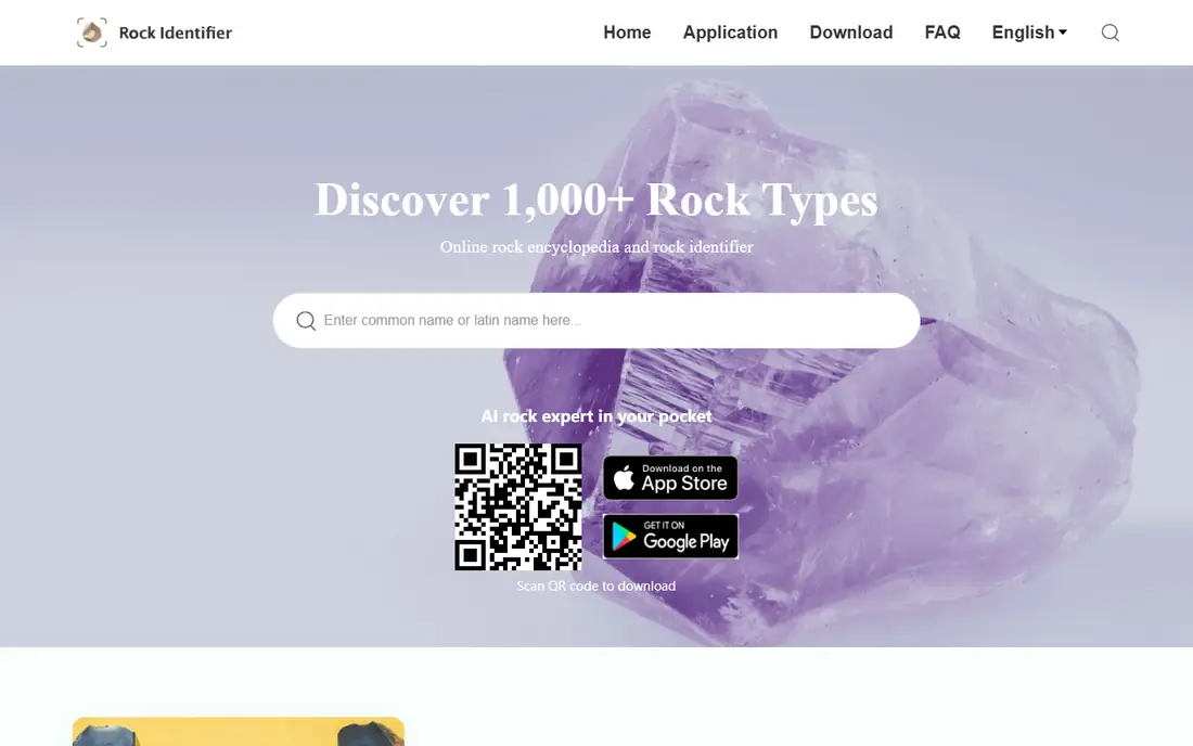
Rock Identifier identifies rocks and minerals from photos, with a large database, detailed entries on properties and formation, and collection features for users cataloging finds. Its photo identification suits beginners who find an interesting stone and want a first guess quickly, with entries that teach properties to check next. The free tier covers basic identification, while premium tiers add unlimited identifications and deeper data.
Photo accuracy varies by lighting, photo quality, and rock type, since many rocks look alike in photos. Rock Identifier also offers one-on-one geologist inquiries by email for difficult specimens. Rock Identifier fits beginners and casual collectors who want a free first guess plus learning entries, with expert confirmation for important finds.
What we like- Large rock database
- Photo identification
- Collection features
Watch out for- Accuracy varies
- Premium tiers for full features
Starting priceFree
Free planYes
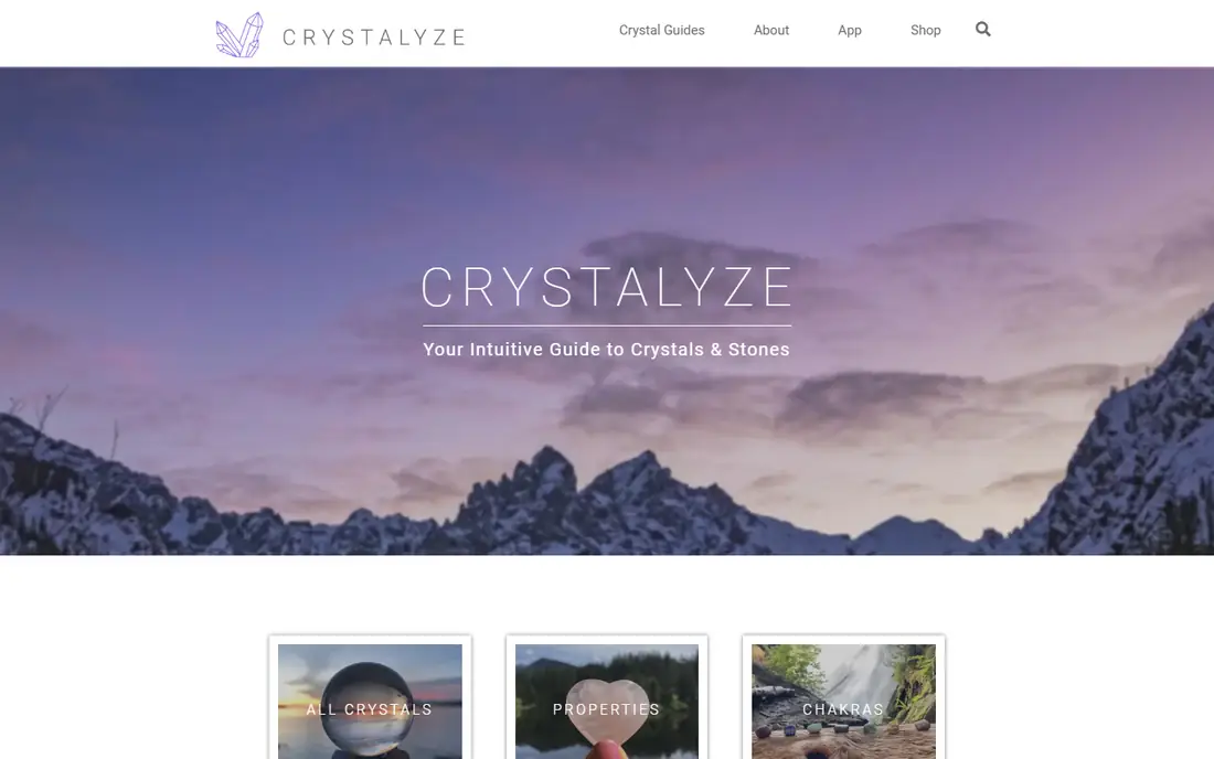
Crystalyze identifies crystals, rocks, and gemstones from photos, with learning guides covering crystal care, meanings, and properties, plus collection tracking for owned, favorite, and wishlist items. Its crystal focus appeals to collectors interested in gemstones and decorative stones, while its guides help beginners learn mineral properties. The free tier covers basic identification, with premium tiers adding unlimited scans and full history.
Accuracy varies like all photo tools, and its crystal focus limits coverage of common field rocks. Crystalyze also offers crystal care guides covering cleansing and charging practices for collectors. Crystalyze fits crystal and gemstone collectors who want free photo identification plus learning content.
What we like- Crystal and stone identification
- Learning guides
- Collection tracking
Watch out for- Crystal focus limits rock coverage
- Premium tiers for unlimited scans
Starting priceFree
Free planYes
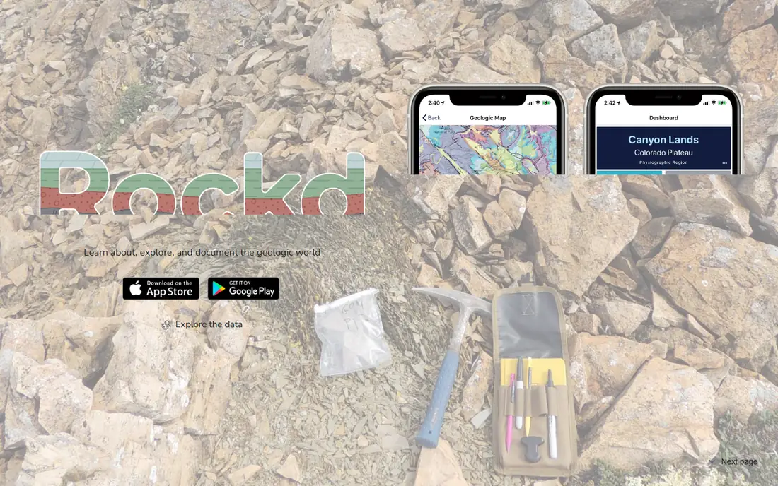
Rockd combines geology maps with location-based context, showing the bedrock and surficial geology where a user stands, which narrows rock identification dramatically. Knowing local geology eliminates most wrong guesses: a rock found on granite terrain is unlikely to be basalt. Its educational content suits students, hikers, and amateur geologists learning field identification. Rockd is produced by the Macrostrat lab at the University of Wisconsin-Madison.
It is not a photo identifier, so users must combine map data with property tests for identification. Rockd also lets users log field observations offline and share them publicly when back online. Rockd fits learners and field collectors who want location context as the foundation of identification, free and educational.
What we like- Geology maps
- Location-based context
- Educational
Watch out for- Not a photo identifier
- Needs location data
Starting priceFree
Free planYes
Geology Toolkit identifies rocks and minerals from photos with reasoning chains: the diagnostic features observed, similar specimens ruled out, and the geological processes that formed the rock. That explanation-first approach suits geology students and serious enthusiasts who want to understand classification, not just receive a label. Its free tier offers a limited number of identifications per day, with a subscription for unlimited scans and full features.
Like all photo tools, accuracy improves with clear, well-lit photos and varies by rock type, and AI features need internet access. Geology Toolkit also offers sketch generation that turns rock photos into clean line drawings for lab reports. Geology Toolkit fits students and enthusiasts who want identification plus reasoning they can verify.
What we like- Identification with reasoning chains
- Student-friendly
- Free tier useful
Watch out for- Accuracy varies
- Internet needed for AI features
Starting priceFree
Free planYes
Mindat is the largest mineral database in the world, run by the Hudson Institute of Mineralogy, with detailed entries on minerals, localities, photos, and geological context. Collectors use it to verify identifications, research localities, and compare specimens against documented examples, with community contributions reviewed by experts. Its depth suits serious collectors and students who want authoritative data behind any identification.
It is a reference database, not a photo identifier, so users identify by properties and locality rather than by uploading a photo. Mindat also hosts extensive photo galleries that help collectors compare specimens visually. Mindat fits collectors who want authoritative mineral data for verification, free and unmatched in depth.
What we like- Huge mineral database
- Locality data
- Expert community
Watch out for- Reference database, not photo AI
- Depth can overwhelm beginners
Starting priceFree
Free planYes
RockCheck is an identification key for rocks, built as a teaching aid for geology education. Users answer yes-or-no questions about a specimen, following links to explanations in its School of Rock section, until the key leads to an encyclopedia entry on the identified rock. That guided approach teaches identification logic rather than handing users a photo guess, which suits students and beginners learning systematic identification.
It is key-based rather than photo AI, so identification takes more steps, and no standalone official website was found, so its store listing is the reference link here. RockCheck also includes an encyclopedia section that teaches rock formation and usage alongside identification. Its School of Rock section also explains geological concepts behind each key question. RockCheck fits learners who want a free, guided identification key that teaches geology as it identifies.
What we like- Step-by-step identification key
- Educational
- Free
Watch out for- Key-based, not photo AI
- Store listing only, no standalone website found
Starting priceFree
Free planYes
The British Geological Survey provides authoritative geology maps, guides, and data, free, with UK coverage that is unmatched for British collectors. Its maps and rock guides help users identify finds by location and formation, and its educational resources teach systematic identification. UK field collectors rely on it as a trusted reference.
Coverage centers on the UK, so users elsewhere need their own national surveys, and it is not a photo identifier. BGS also publishes fossil and earthquake data that support broader earth science learning. BGS Geology fits UK collectors and learners who want authoritative, free geology data as an identification foundation.
What we like- Authoritative UK geology data
- Maps and guides
- Free
Watch out for- UK-focused
- Not a photo identifier
Starting priceFree
Free planYes
The United States Geological Survey provides authoritative geology maps, mineral resource data, and educational resources, free, covering the United States in depth. US collectors use its maps and databases to identify finds by location and formation, and its mineral resources data supports research into deposits and occurrences. Its scientific authority makes it a trusted reference for field identification context.
Coverage centers on the US, so users elsewhere need their own national surveys, and it is not a photo identifier. USGS also provides real-time earthquake and volcano monitoring that supports broader earth science education. USGS fits US collectors and learners who want authoritative, free geology data as an identification foundation.
What we like- Authoritative US geology data
- Maps and mineral resources
- Free
Watch out for- US-focused
- Not a photo identifier
How we chose
We compared app listings, product documentation, and public user reviews for free rock identification tools that are actively available in 2026. We favored tools with real identification or reference value, current availability, and free tiers that actually work. We checked accuracy claims carefully, since photo identification is inherently uncertain, and we left out tools that no longer offer a current free product. Photo identification is a starting point, and important finds deserve expert or laboratory confirmation.
Photos alone rarely identify a rock
Many rocks and minerals look alike in photos: quartz, calcite, and feldspar can appear similar, while lighting and weathering change colors dramatically. Proper identification uses properties photo apps cannot measure: hardness on the Mohs scale, streak color on unglazed porcelain, luster, cleavage, density, and reaction to dilute acid. Location matters equally, since local geology rules out most possibilities. Use photo apps for a first guess, then test properties and check local geology before concluding.
Learn the basic field tests
A few cheap tools transform identification: a steel nail and glass plate for hardness, an unglazed porcelain tile for streak, a magnet for magnetic minerals, and dilute vinegar for carbonate reaction. Learn these tests from guides like Geology Toolkit or BGS resources, and record results alongside photos. Field tests plus location data beat any photo AI alone.
Be careful with valuable or hazardous finds
Some finds deserve caution: asbestos minerals, uranium minerals, and old mine waste can be hazardous, while meteorites, fossils, and archaeological artifacts may be legally protected. Never collect in protected areas, national parks, or private land without permission, and do not handle suspected hazardous minerals without guidance. When a find looks valuable or unusual, consult local geological surveys or museums before selling or removing it.
Keep a collection log with location and tests
A collection log turns random stones into a real collection: record location, date, photo, hardness, streak, and tentative identification for each find. Apps with collection features, like Rock Identifier, help, but a simple notebook works too. Logged data lets experts help later, and it preserves the context that makes a find scientifically interesting.
Frequently asked questions
What is the best free rock identifier app?
Rock Identifier for photo identification with a large database, paired with Rockd for location geology and Mindat for authoritative mineral verification. No single app identifies reliably alone, so combine photo guesses with property tests and location data.
How accurate are rock identifier apps?
Moderately accurate for distinctive minerals, less accurate for common rocks that look alike. Lighting, photo quality, and weathering all reduce accuracy, so treat app results as guesses to verify with hardness, streak, and location checks.
Can an app identify a meteorite?
Apps may suggest meteorite-like rocks, but true meteorite confirmation needs expert or laboratory analysis, including density, nickel content, and fusion crust examination. Consult local museums or geological surveys for suspected meteorites rather than trusting an app.
Are rock identifier apps really free?
Basic identification is free on the apps in this guide, while unlimited identifications, deeper data, and ad removal usually need paid tiers. Free tiers suffice for casual use, with paid tiers for frequent collectors.
What should I do with an unidentified rock?
Record its location, photograph it in good light, test hardness and streak, and ask local geology groups or museums for help. For unusual or potentially valuable finds, consult a museum or geological survey before removing or selling it.
Sources we checked (8)
- https://www.rockidentifier.com
- https://www.crystalyzeguide.com
- https://rockd.org
- https://www.geologytoolkit.com
- https://www.mindat.org
- https://play.google.com/store/apps/details?id=si.digied.rockcheck
- https://www.bgs.ac.uk
- https://www.usgs.gov
Is your product missing or out of date?
We review this list regularly. Vendors can request a listing, send updated pricing or ask about featured placement.

Shihab Mia · Founder, Rankite
Shihab has 5+ years in B2B and SaaS SEO. He writes Rankite's software buying guides from pricing pages, documentation and public user reviews. More about Shihab.