How we make this list: we compare pricing pages, product documentation and public user reviews. Rankite is independent; if a vendor ever pays for a featured spot, that listing is clearly labeled Partner.
Key takeaways
- Esri ArcGIS remains the deepest GIS toolkit for CRE, but it needs trained staff and an enterprise budget to pay off.
- CoStar and Placer.ai win on data: verified property records and foot traffic estimates that an analyst cannot easily replicate.
- Cherre, Local Logic, and CARTO are data and platform plays for teams with engineers who build their own analytics.
- SiteSeer and Kalibrate are the most approachable site-selection options for brokers and developers without a GIS team.
Quick comparison
| Tool | Best for | Starting price | Free plan |
|---|
 Esri ArcGIS Esri ArcGIS | Enterprise GIS and spatial analysis | See website | See website |
 CoStar CoStar | CRE property data and market analytics | See website | See website |
 Placer.ai Placer.ai | Foot traffic and visitation analytics | See website | See website |
 Cherre Cherre | Connecting CRE data sources | See website | See website |
 Local Logic Local Logic | Neighborhood and location context data | See website | See website |
 SiteSeer SiteSeer | Retail site selection modeling | See website | See website |
 Kalibrate Kalibrate | Location analytics with consulting support | See website | See website |
 CARTO CARTO | Cloud-native spatial analytics | See website | See website |
 Mapbox Mapbox | Custom maps inside your own products | See website | See website |
Is your product missing or out of date?
We review this list regularly. Vendors can request a listing, send updated pricing or ask about featured placement.
The best mapping software for commercial real estate
#1
Esri ArcGIS
Best for: Enterprise GIS and spatial analysis
Visit esri.com
Starting priceSee website
Free planSee website
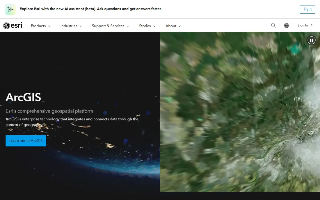
Esri invented the category, and ArcGIS is still the system of record for location data at governments, utilities, and large brokerages. If your team already employs a GIS analyst, this is the default choice, and nothing else matches its depth for modeling, geocoding, and spatial statistics.
The platform covers the full workflow: desktop modeling in ArcGIS Pro, web maps and dashboards in ArcGIS Online, and field data collection on mobile. For CRE, that translates into trade-area modeling, demographic overlays, drive-time analysis, and portfolio mapping at any scale, all inside one ecosystem with serious access controls.
The weakness is accessibility. ArcGIS assumes trained users, and a leasing team that just wants to see availabilities on a map will find it heavy. Pricing is sales-led rather than self-serve, which puts it out of reach for small shops that only need basic mapping and a few demographic layers.
What we like- Deepest spatial analysis toolkit in the industry
- Huge library of basemaps and public data
- Strong enterprise security and deployment options
Watch out for- Steep learning curve for non-GIS staff
- Quote-based pricing that can strain small-team budgets
Starting priceSee website
Free planSee website
CoStar is less a mapping tool than a CRE intelligence platform with strong mapping attached. Its real value is the underlying data: millions of properties, leases, sales comps, and tenant records, verified by one of the largest research teams in the industry. The maps exist to visualize that data, not to replace a GIS.
For brokers, appraisers, lenders, and investors who live in comps and availabilities, CoStar's mapping is the fastest way to read a submarket. You can see who owns what, what leased, and what sold, layered over the geography, without building anything yourself.
The trade-off is cost and fit. Pricing is subscription-based and not published, and it is aimed at firms where CRE data is a daily input. Teams that need custom spatial analysis or their own proprietary layers will still need a GIS alongside it.
What we like- Largest verified CRE property database
- Built-in comps, lease, and sale analytics
- Research and news integrated with listings
Watch out for- Subscription pricing is high and not published
- Data depth thins out in smaller markets
#3
Placer.ai
Best for: Foot traffic and visitation analytics
Visit placer.ai
Starting priceSee website
Free planSee website
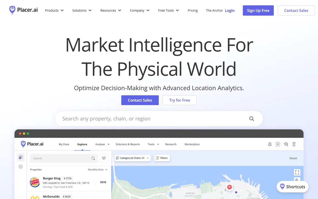
Placer.ai turned foot traffic into a standard CRE input. The platform estimates visits to individual properties from anonymized mobile location data, then layers on demographics, cross-shopping patterns, and cannibalization analysis. For retail site selection and leasing, that is powerful: you can compare two centers on observed visitation instead of guessing from demographics alone.
Adoption took off because the dashboard speaks to brokers and developers, not only to data scientists. Void analysis, which ranks potential tenants for a vacancy by fit, is a genuinely useful leasing workflow rather than a generic analytics feature.
The honest limitation is that the numbers are estimates, not counts. They are directionally strong for retail and grocery-anchored centers but less reliable for office or industrial assets. Treat Placer as one input among several, and confirm that the pricing tier matches how often your team will actually log in.
What we like- Property-level foot traffic estimates from mobile data
- True trade area and void analysis tools
- Built for business users, not just analysts
Watch out for- Figures are modeled estimates, and accuracy varies by property type
- Pricing suits teams that use it weekly, not occasional lookups
Starting priceSee website
Free planSee website
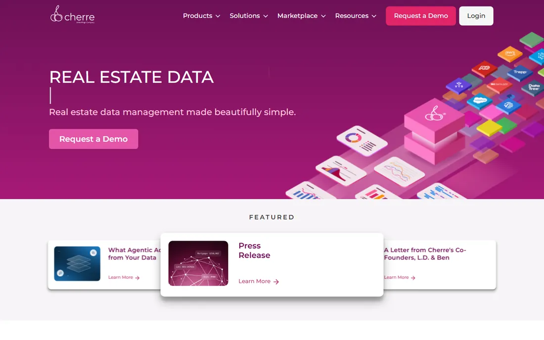
Most CRE firms sit on disconnected data: internal portfolios, third-party feeds, public records, spreadsheets that disagree about the same building. Cherre connects and resolves those sources into a single knowledge graph with one API, so every downstream map and model works from the same definitions.
That makes it a strong pick for investment managers and data teams that build their own analytics rather than buying off-the-shelf dashboards. If your edge is proprietary modeling, Cherre handles the unglamorous work of entity resolution and data governance underneath it.
It is not, however, a finished mapping product. You need engineers to get value from it, and smaller firms without a data team will get more from a tool with a user interface. Note also that Cherre was acquired by RealPage in 2026, so confirm the roadmap still serves your asset classes before committing.
What we like- Knowledge graph that resolves entities across datasets
- One API for property, tax, and transaction data
- Designed for institutional data teams
Watch out for- Needs engineering resources to implement
- RealPage acquisition means buyers should confirm the roadmap
Starting priceSee website
Free planSee website
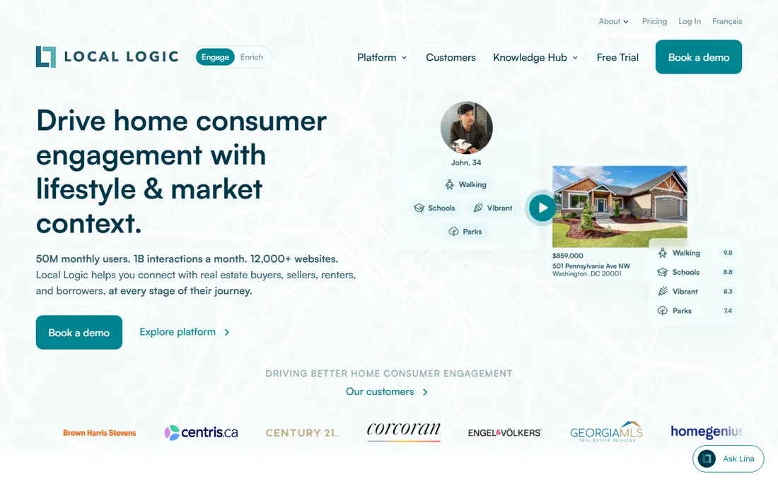
Local Logic quantifies everything outside the four walls of a property. Its dataset scores individual addresses on walkability, transit access, schools, amenities, demographics, and market conditions, delivered through APIs and embeddable modules. For CRE teams, that adds the "why this location" layer that a bare parcel map cannot provide.
The product grew up serving residential and multifamily, where neighborhood context drives consumer decisions, but the location scores translate well to retail site work and mixed-use underwriting. If your listings, reports, or internal tools need credible neighborhood content, this is the cleanest source for it.
The catch is the delivery model. You are buying data, not software with a map to explore. Budget for development or pair it with a visualization platform, and confirm US and Canada coverage is enough for your portfolio.
What we like- 100B+ location data points with proprietary location scores
- API-first delivery for custom applications
- Strong lifestyle and market context per address
Watch out for- Data as a service, not a finished mapping interface
- Coverage is limited to the US and Canada
Starting priceSee website
Free planSee website
SiteSeer is the specialist pick for retail expansion. The platform combines mapping, demographics, and predictive modeling in a workflow organized around a single question: should we open here? Site scorecards, void analysis, and territory optimization speak the language of brokers and developers rather than GIS analysts.
That focus is also its boundary. If your portfolio is office or industrial, much of the retail-specific modeling will not transfer, and you will be paying for depth you do not use. For retail, restaurant, and franchise growth, though, the specialization is the point.
Implementation is lighter than enterprise GIS, and the vendor works closely with smaller teams. Just go in knowing that serious modeling still benefits from someone who understands the assumptions behind the scores.
What we like- Purpose-built site scorecards and model builder
- Void analysis for tenant recruitment
- Approachable for users without GIS training
Watch out for- Retail and restaurant focus, thinner for office and industrial
- Smaller data ecosystem than enterprise GIS platforms
Starting priceSee website
Free planSee website
Kalibrate pairs its location platform with the consultants who know how to run it. That matters because site selection models are only as good as their assumptions, and Kalibrate's team brings decades of forecasting experience, particularly in fuel, convenience, and retail. The software covers trade-area analysis, competitor benchmarking, and market planning.
For firms expanding internationally, the global footprint is a real differentiator. Few site-selection vendors support consistent analysis across 70-plus countries with local data to back it up.
The trade-off is the engagement model. If you want a self-serve dashboard your team runs alone, Kalibrate's services-led approach can feel heavy. If you want answers backed by analysts who have seen your situation before, that same model is the reason to buy.
What we like- Software paired with experienced analyst consultants
- Deep forecasting expertise in retail and fuel
- Coverage across more than 70 countries
Watch out for- Services-led model can mean longer engagements
- Less self-serve than pure SaaS alternatives
Starting priceSee website
Free planSee website
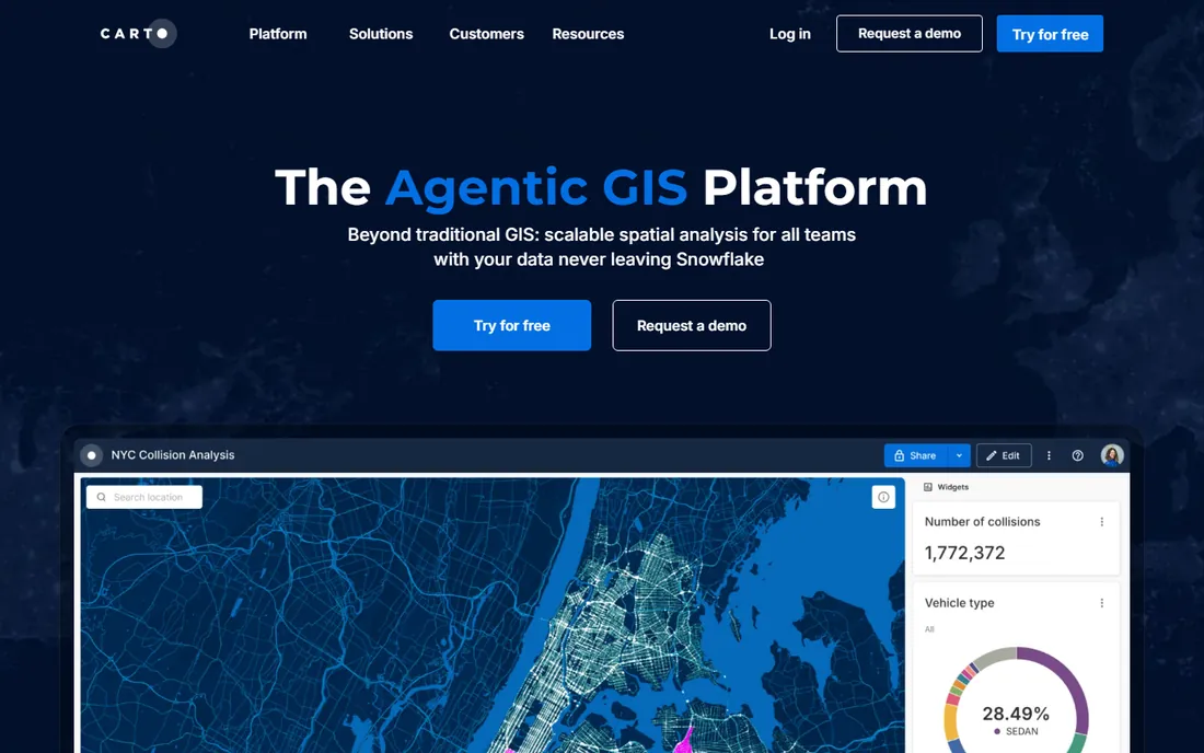
CARTO is the modern answer to a common enterprise problem: the location data already lives in your warehouse, so why move it? CARTO runs spatial analysis where the data sits, in Snowflake, BigQuery, or Databricks, and publishes results as interactive maps and dashboards. No duplicate pipelines, no stale extracts.
For CRE firms with data engineering resources, that architecture is a genuine advantage. Analysts write spatial SQL, the platform handles the heavy lifting, and recent AI-assisted workflows lower the barrier for less technical users. Governance stays with the warehouse, which compliance teams appreciate.
The limitation for CRE buyers is vertical depth. CARTO gives you the engine, not the dataset. You bring your own property records, demographics, and market data, so it fits firms that already invest in data, not teams looking for an out-of-the-box CRE map.
What we like- Runs analysis inside your cloud data warehouse
- Modern SQL-based spatial toolkit
- Good fit for data science teams
Watch out for- Assumes real cloud data maturity
- Less CRE-specific content than vertical tools
Starting priceSee website
Free planSee website
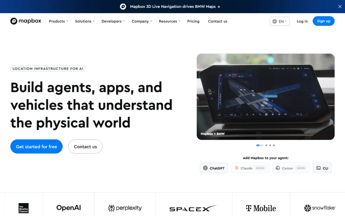
Mapbox is what you use when the map itself is part of your product. If your CRE platform needs branded property maps, address search, or routing inside your own application, Mapbox's APIs and SDKs offer more design control than any off-the-shelf tool, and the documentation is genuinely good.
The free tier lets product teams prototype without a procurement cycle, which is why so many proptech startups build on it first. For internal portfolio dashboards with a custom look, it is also a solid choice.
But Mapbox is infrastructure, not analysis. There are no demographics, no comps, no trade-area models included. You supply the data and the logic; Mapbox renders it beautifully. And the usage-based pricing rewards careful architecture, since costs scale with map loads and API calls.
What we like- Beautiful, fully customizable basemaps
- Excellent developer documentation and APIs
- Free tier that makes prototyping cheap
Watch out for- Developer infrastructure, not an analyst product
- Usage-based pricing needs careful cost management at scale
How we chose
We evaluated each platform against the same checklist: depth of spatial analysis, quality and coverage of built-in CRE data, usability for staff without GIS training, integration options, and fit for small versus large teams. We read current pricing pages, product documentation, and integration lists, then cross-checked positioning against public reviews on G2, Capterra, and industry forums.
We did not run hands-on tests. Enterprise GIS and CRE data platforms are sold through demos and pilot projects, not self-serve trials, so our findings reflect vendor-published capabilities and reviewer consensus rather than lab results. Where pricing was not published, we say so instead of guessing.
Start with the question, not the software
List the three decisions the tool must support. "Where should we open next" points to SiteSeer or Kalibrate. "What is this submarket doing" points to CoStar or Placer.ai. "How do we analyze our own portfolio data spatially" points to ArcGIS or CARTO. If you cannot name the decisions, you are not ready to buy.
Data versus tools: know which you are buying
Half the products here sell data with maps attached, and half sell mapping tools you feed with your own data. Data products (CoStar, Placer.ai, Local Logic, Cherre) save analyst time but create ongoing subscription dependence. Tool products (ArcGIS, CARTO, Mapbox) need more setup but keep you in control. Most mature CRE teams end up with one of each.
Who will actually use it
Be honest about your team's skills. A GIS analyst justifies ArcGIS or CARTO. A brokerage team without analysts will get more from SiteSeer, Placer.ai, or CoStar, where the interface does the heavy lifting. Buying analyst-grade software for a non-analyst team is the most common way these purchases fail.
Integration with your stack
Ask how the tool connects to your CRM, data warehouse, and reporting. API-first products like Cherre, Local Logic, and CARTO fit firms with engineers. If you run on spreadsheets and a CRM, prioritize tools with native integrations and exports your team will actually use.
Total cost beyond the license
Enterprise mapping costs include implementation, training, and often data feeds priced separately. A quote-based platform can easily cost three to five times the headline license in year one. Ask vendors for the all-in first-year number, including onboarding, before you compare.
A full GIS platform earns its keep when spatial analysis is a repeated, central workflow: modeling trade areas every week, managing parcel-level portfolio data, or publishing maps to hundreds of users. If your actual need is simpler, a lighter tool usually wins.
Common signs you do not need ArcGIS: your team has no GIS analyst and no plan to hire one, your mapping need is "show our properties and comps on a map," or you only run location analysis a few times per quarter. In those cases, CoStar plus a spreadsheet-friendly tool like Placer.ai or SiteSeer covers the work at a fraction of the cost and training time.
The middle ground is worth considering too. CARTO or Mapbox can serve teams that need custom maps without the weight of a traditional GIS, provided someone technical owns the setup. Match the tool's weight to the job's weight, and upgrade when the work outgrows the tool.
Frequently asked questions
What is the best mapping software for commercial real estate?
There is no single best option. Esri ArcGIS is the deepest GIS platform, CoStar has the strongest verified CRE property data, and Placer.ai leads on foot traffic analytics. The right pick depends on whether you need analysis tools, data, or both, and on your team's technical skill.
How much does CRE mapping software cost?
Most serious CRE mapping tools use quote-based pricing, and first-year costs for enterprise platforms often land in the five-figure range once onboarding is included. Lighter tools and developer platforms publish self-serve tiers. Always ask for the all-in first-year number before comparing vendors.
Can I use Google Maps instead of paid CRE mapping software?
For plotting a few addresses, yes. Google Maps cannot do trade-area modeling, demographic overlays, portfolio analytics, or foot traffic analysis. Teams that make location decisions on real money outgrow it quickly, usually when they need defensible numbers rather than pins on a map.
What is the difference between GIS software and location intelligence?
GIS software like ArcGIS is a toolkit for spatial analysis that you operate with your own data and expertise. Location intelligence platforms like Placer.ai or Local Logic deliver finished data and insights, often through simpler interfaces. Many CRE teams use both: GIS for custom analysis, location intelligence for fast answers.
Do I need a GIS analyst to use these tools?
For ArcGIS and CARTO, effectively yes. For CoStar, Placer.ai, SiteSeer, and Kalibrate, no: they are built for brokers, developers, and executives. Cherre and Local Logic need engineers for implementation but not necessarily GIS specialists. Match the tool to the team you actually have.
Which tool is best for retail site selection?
SiteSeer and Kalibrate are purpose-built for retail site selection, with scorecards, void analysis, and forecasting workflows. Placer.ai adds the foot traffic layer that makes retail decisions concrete. For large portfolios with in-house analysts, ArcGIS remains the most flexible option.
Sources we checked (9)
- https://www.esri.com
- https://www.mapbox.com/
- https://carto.com
- https://locallogic.co
- https://cherre.com
- https://costar.com
- https://placer.ai/
- https://www.siteseer.com
- https://www.kalibrate.com/
Is your product missing or out of date?
We review this list regularly. Vendors can request a listing, send updated pricing or ask about featured placement.

Shihab Mia · Founder, Rankite
Shihab has spent more than a decade helping SaaS and e-commerce brands grow through search. He writes Rankite's software buying guides from pricing pages, documentation and public user reviews. More about Shihab.