How we make this list: we compare pricing pages, product documentation and public user reviews. Rankite is independent; if a vendor ever pays for a featured spot, that listing is clearly labeled Partner.
Key takeaways
- Drone mapping splits into cloud platforms (DroneDeploy, Pix4Dcloud) and desktop processing (Pix4Dmatic, DJI Terra, Zephyr).
- Photogrammetry needs no laser scanner; LiDAR workflows cost more but win in vegetation and precision work.
- RealityScan is free for individuals and businesses under $1 million in revenue; OpenDroneMap is free and open source.
- Bentley renamed ContextCapture to iTwin Capture Modeler, and RealityCapture is now RealityScan; both are rebrands, not new products.
- Survey-grade output requires ground control points and calibration, not just software; budget for the hardware and the learning curve.
Quick comparison
| Tool | Best for | Starting price | Free plan |
|---|
 Pix4D Pix4D | professional drone photogrammetry | See website | Free trial |
 DroneDeploy DroneDeploy | cloud reality capture for construction | See website | Free trial (14 days) |
 DJI Terra DJI Terra | DJI drone workflows | See website | Free trial (30 days) |
 RealityScan RealityScan | high-fidelity 3D from photos and scans | See website | Yes |
 3DF Zephyr 3DF Zephyr | desktop photogrammetry on a budget | See website | Free trial (30 days) |
 Bentley iTwin Capture Modeler Bentley iTwin Capture Modeler | infrastructure digital twins | See website | Yes |
 Global Mapper Global Mapper | GIS and LiDAR data processing | See website | Free trial |
 ArcGIS Drone2Map ArcGIS Drone2Map | Esri GIS shops | See website | Free trial |
 OpenDroneMap OpenDroneMap | open source drone mapping | Free | Yes |
Is your product missing or out of date?
We review this list regularly. Vendors can request a listing, send updated pricing or ask about featured placement.
The best 3D mapping software
Starting priceSee website
Free planFree trial
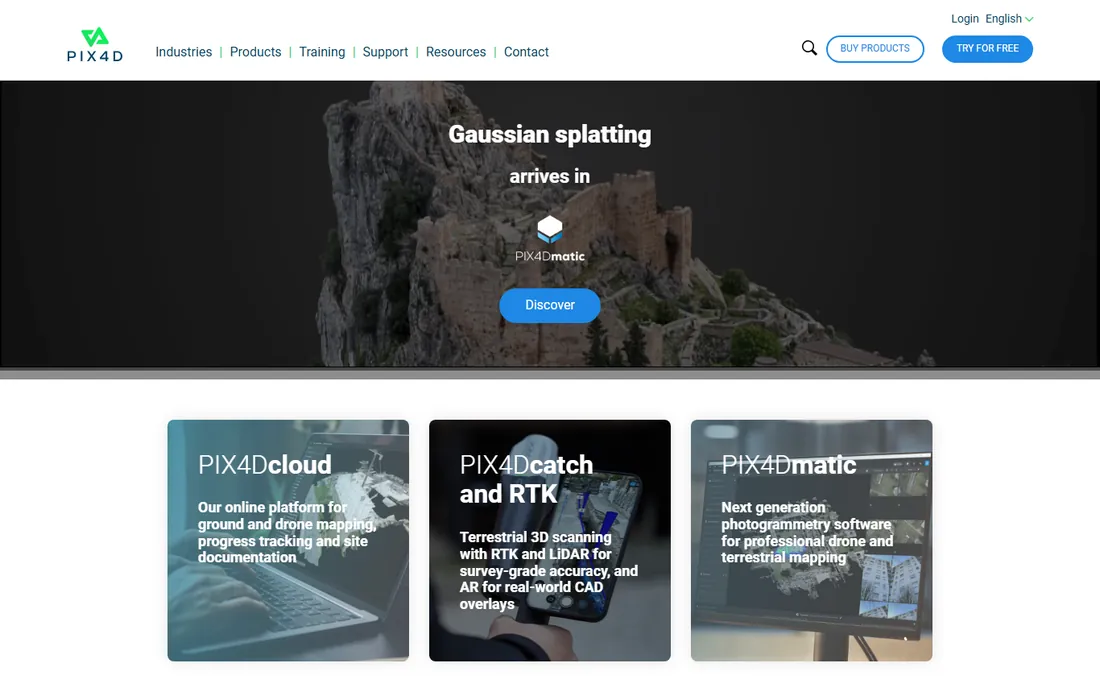
Pix4D is the name surveyors and drone operators reach for first. The Swiss company offers a suite: Pix4Dmatic for large-scale corridor mapping, Pix4Dmapper for the classic desktop workflow, PIX4Dcloud for browser-based processing and collaboration, and PIX4Dcatch for phone-based capture. The photogrammetry engine is mature, and centimeter-level absolute accuracy with RTK data is the headline claim.
The honest catch: this is professional software with professional pricing, and the pricing pages make you work to find numbers. Desktop processing is fast only on a machine with a strong GPU and lots of RAM; the cloud option shifts that burden to a subscription. For a mapping business whose deliverables get stamped, Pix4D remains the safe, defensible choice.
What we like- Survey-grade accuracy trusted industry-wide
- Desktop and cloud options
- Works with most drone hardware
Watch out for- Pricing varies by product and is not public
- Desktop processing needs serious hardware
- Subscription tiers add up
Starting priceSee website
Free planFree trial (14 days)
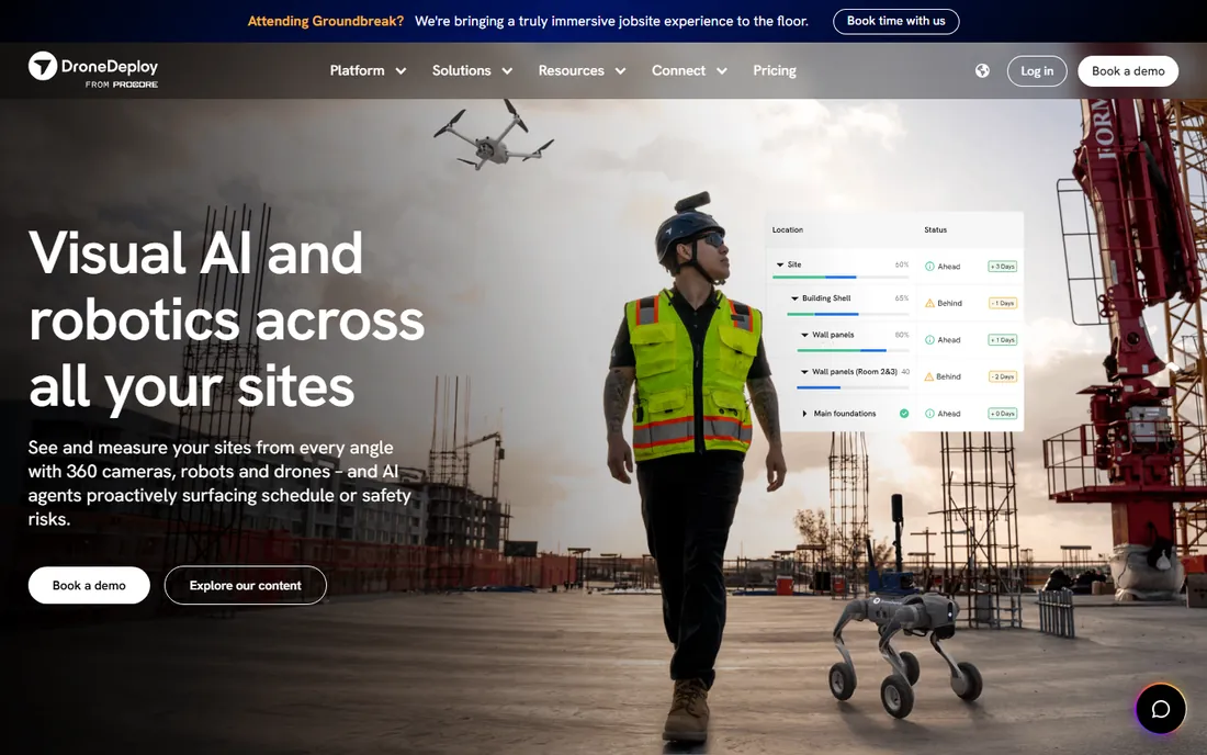
DroneDeploy is the cloud-first reality capture platform, used on millions of sites across 180 countries. Fly, upload, and the platform generates orthomosaics, 3D models, elevation models, and analytics in the browser. Construction teams use it for progress tracking, earthworks volumes, and inspection; agriculture and mining are strong secondary markets.
The honest trade: you trade control for convenience. Processing happens on DroneDeploy's cloud, which means subscription costs scale with use and sensitive projects must pass your data governance rules. But for teams that want maps without maintaining a render farm, the 14-day free trial makes evaluation easy.
What we like- Fully cloud-based, no processing hardware needed
- Strong construction and progress-tracking workflows
- 14-day trial, no card
Watch out for- Subscription pricing with custom enterprise quotes
- Cloud processing means your data leaves your network
- LiDAR requires uploads of preprocessed data
Starting priceSee website
Free planFree trial (30 days)
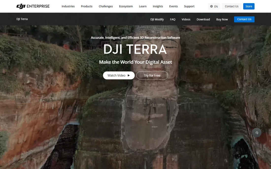
DJI Terra is the mapping software built by the company that built your drone. It processes drone imagery and LiDAR into orthomosaics, point clouds, and 3D models, with real-time 2D mapping that builds the map as the drone flies. Zenmuse L1 and L2 LiDAR users get native processing, and Gaussian splat reconstruction arrived in version 5.
The honest framing: Terra is Windows-only, licensed per computer, and sold through authorized DJI dealers rather than with transparent web pricing. The one-month trial (limited to 500 photos and 8 GB of LiDAR data) is generous. If you fly DJI, Terra is the path of least resistance; if you fly anything else, look at Pix4D or Zephyr.
What we like- Tight integration with DJI drones and sensors
- Real-time 2D mapping while flying
- LiDAR processing for Zenmuse L1/L2
Watch out for- Windows only
- Sold through dealers, so pricing is opaque
- Optimized for DJI hardware, not hardware-agnostic
Starting priceSee website
Free planYes
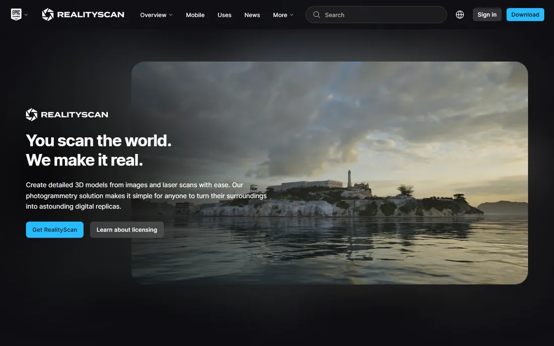
RealityScan is the new name for RealityCapture, Epic Games' photogrammetry tool. It builds detailed 3D models from images and laser scans, and it is genuinely free for students, educators, and any individual or business under $1 million in annual gross revenue. The 2.0 release added AI masking, smarter alignment, aerial LiDAR support, and quality-analysis heatmaps.
The honest note: RealityScan is a modeling tool first and a mapping tool second. It excels at meshes and textures; if your deliverable is survey-grade orthomosaics and DEMs, the drone-first tools fit better. But for asset creation, VFX, and heritage work at a price of free, it is in a class of its own.
What we like- Free under $1 million in revenue
- Exceptional mesh quality and speed
- Mobile app for quick field captures
Watch out for- Mapping and GIS outputs are secondary to model quality
- Needs the Epic Games launcher
- Subscription required above the revenue threshold
Starting priceSee website
Free planFree trial (30 days)
3Dflow's 3DF Zephyr takes you from photos to point clouds, meshes, Gaussian splats, DEM/DTM, and contour lines in a single application. Every algorithm is built in-house, multi-GPU is supported, and version 9 added native Gaussian splats and satellite map tiles in the viewport. The 30-day free trial of Zephyr or Zephyr Lite lets you run a real project end to end with no project locking.
The honest trade: 3Dflow is a smaller company than its Swiss and American rivals, so the community, tutorials, and third-party integrations are thinner. But the software is complete, the licensing (subscription or perpetual) is flexible, and for a small shop that wants desktop processing without Pix4D prices, Zephyr is the value pick.
What we like- Complete photogrammetry pipeline in one app
- Perpetual licenses available
- 30-day trial with no project locking
Watch out for- Smaller community than Pix4D
- Pricing is per-edition and varies
- LiDAR registration bundled via separate module
#6
Bentley iTwin Capture Modeler
Best for: infrastructure digital twins
Visit bentley.com
Starting priceSee website
Free planYes
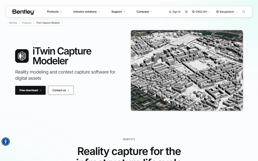
Bentley renamed ContextCapture to iTwin Capture Modeler, folding it into the iTwin digital-twin platform. It transforms photos and LiDAR into high-fidelity reality models for design, construction, and operations decisions, with ground control points and quality controls aimed at survey accuracy. The Flex desktop app is free for importing, aligning, and preparing data; you pay only for processing via the on-premise Capture Engine or cloud services.
The honest framing: this is infrastructure software, sold to engineering firms, not to drone hobbyists. Pricing is quote-based and the ecosystem has a learning curve. But if your 3D models feed digital twins of bridges, plants, or cities, Bentley is the incumbent and the rename does not change the capability.
What we like- Engineering-grade reality models for digital twins
- Free data prep before processing costs
- On-premise and cloud processing
Watch out for- Enterprise pricing by quote
- Aimed at infrastructure, not general drone mapping
- Ecosystem complexity
Starting priceSee website
Free planFree trial
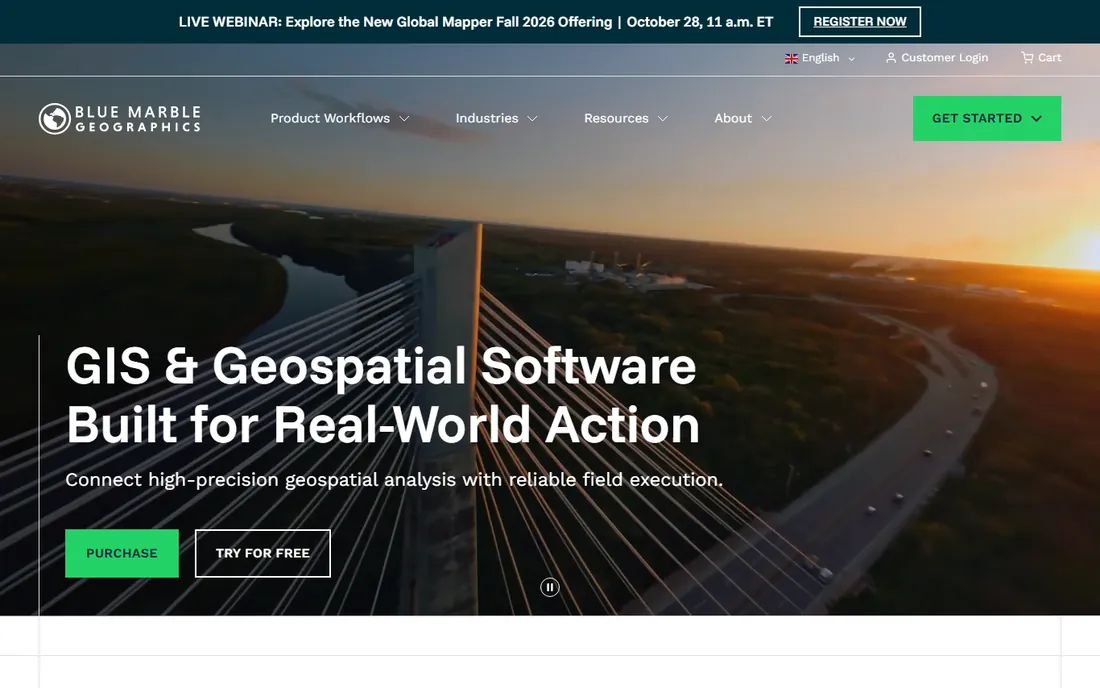
Global Mapper, from Blue Marble Geographics, is the GIS workhorse: process LiDAR, point clouds, terrain models, and imagery, validate coordinates across 12,000+ geodetic definitions, and deploy maps to Avenza Maps for offline field execution. It is less a photogrammetry tool than the place photogrammetry outputs go to be analyzed.
The honest note: the interface is functional rather than beautiful, and you will not process drone photos into models here. But for the analysis, conversion, and field-deployment half of a mapping workflow, few tools match its breadth of format support. A trial is available; pricing is not public.
What we like- Legendary format support and coordinate tools
- Strong LiDAR and terrain workflows
- Pairs with Avenza Maps for field work
Watch out for- Interface shows its age
- Not a photogrammetry engine
- Pricing requires a quote
Starting priceSee website
Free planFree trial
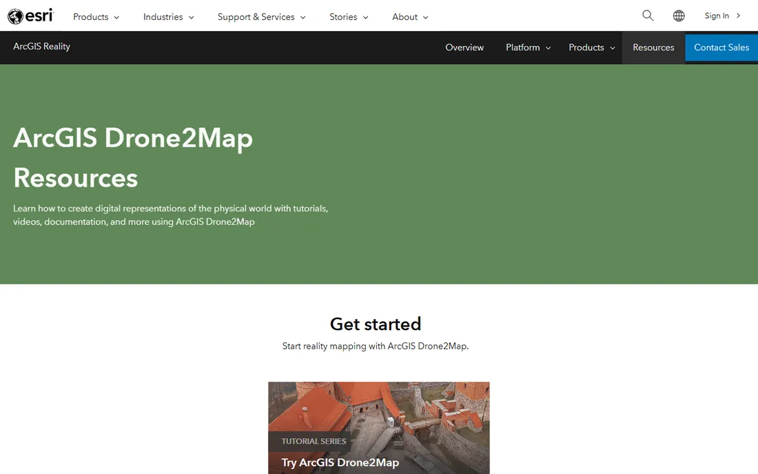
If your organization runs on Esri, Drone2Map is the natural drone extension: turn drone imagery into orthomosaics, 3D meshes, and elevation products that drop straight into ArcGIS Online and ArcGIS Pro, with tutorials, processing reports, and RTK workflows built in. Recent updates added extended DJI thermal support and Gaussian splat photorealism through the ArcGIS Reality suite.
The honest catch: Drone2Map is not a standalone purchase; it rides on ArcGIS licensing, and pricing is not public. For an Esri shop it removes an entire category of integration friction. For everyone else, the drone-first tools are cheaper and simpler.
What we like- Native to the ArcGIS ecosystem
- Creates imagery products for ArcGIS Online and Pro
- RTK and thermal support
Watch out for- Requires ArcGIS licensing
- Desktop-only processing
- Best value only if you already run Esri
Starting priceFree
Free planYes
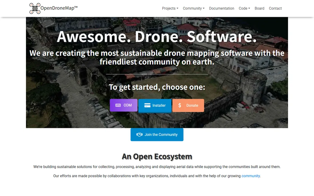
OpenDroneMap is the open-source standard for drone image processing, building maps, point clouds, 3D models, and DEMs from drone, balloon, or kite images since 2014. The ecosystem includes WebODM for a web interface, NodeODM, and CloudODM for cloud processing. There is no license cost, no vendor lock-in, and no data leaving your machines.
The honest trade: this is a command-line toolkit and community project, not a polished commercial product. You bring the hardware, the patience, and the troubleshooting skills. But for research, education, nonprofits, and anyone who cannot pay commercial prices, ODM delivers genuinely capable results for the price of a server.
What we like- Completely free and open source
- The standard for open drone image processing
- Active community
Watch out for- Command-line toolkit, not a polished app
- You provide the hardware
- Support is community-based
How we chose
We verified each tool's current homepage by opening the live site and using the final resolved URL. We applied the rename rule twice: RealityCapture is now RealityScan (Epic Games) and ContextCapture is now iTwin Capture Modeler (Bentley). Agisoft Metashape was dropped because its homepage could not be opened for verification, and we reviewed vendor feature pages, pricing pages, and public documentation. We did not test any tool hands-on.
Photos or laser scans?
Photogrammetry turns overlapping photos into 3D models and maps. It is cheap, portable, and excellent for textured models, but it struggles with dense vegetation and needs good lighting. LiDAR measures distance directly with lasers, cutting through canopy and working in the dark, but the sensors cost tens of thousands. Most small firms start with photogrammetry and rent or subcontract LiDAR when the project demands it.
Cloud or desktop processing?
Cloud platforms (DroneDeploy, PIX4Dcloud) need no powerful computer and process while you sleep, but they cost per project and your data leaves your network. Desktop tools (Pix4Dmatic, DJI Terra, Zephyr, ODM) keep everything local and charge per license, but you buy the GPU. A simple rule: if you process weekly, desktop pays back; if you process monthly, cloud is cheaper.
What does the client actually need?
A textured mesh for a presentation is a RealityScan or Zephyr job. A survey-grade orthomosaic with centimeter accuracy is a Pix4D, DroneDeploy, or DJI Terra job with ground control points. A GIS analysis of terrain is a Global Mapper job. The deliverable decides the software, not the other way around.
The ground control conversation you cannot skip
Software does not make a map survey-grade; procedure does. Ground control points, surveyed in with a total station or RTK GNSS, pin your model to the real world and are the difference between a pretty picture and a deliverable. RTK and PPK drones reduce the number of control points you need but do not eliminate them.
Plan for the learning curve too. Aerotriangulation failures, bad camera calibration, and processing crashes are how every mapping career starts. The tools with free trials (all of them here, one way or another) earn their place by letting you fail on your own data before you pay. And budget for hardware: desktop photogrammetry wants 32 GB of RAM and a real GPU, a fact every vendor's system requirements page will confirm.
Frequently asked questions
What is the best 3D mapping software for drones?
Pix4D and DroneDeploy are the industry standards for professional drone mapping, with DJI Terra the natural pick for DJI drone owners. For budget-conscious users, 3DF Zephyr and the free OpenDroneMap are capable alternatives. Esri shops should use ArcGIS Drone2Map.
Is there free 3D mapping software?
Yes. OpenDroneMap is free and open source. RealityScan is free for individuals and businesses under $1 million in revenue. Bentley's iTwin Capture Modeler Flex is free for data preparation. Every commercial tool on this list offers a free trial.
What is the difference between photogrammetry and LiDAR mapping?
Photogrammetry builds 3D models from overlapping photographs; it is affordable and produces textured models but struggles with vegetation. LiDAR uses laser pulses to measure distance directly, cutting through canopy and working in any light, but requires expensive sensors. Some tools, like DJI Terra and RealityScan, now handle both.
What happened to RealityCapture and ContextCapture?
Both were rebranded, not discontinued. RealityCapture is now RealityScan, developed by Epic Games at realityscan.com. ContextCapture is now iTwin Capture Modeler, part of Bentley's iTwin platform. Your old licenses and workflows carry over; only the names changed.
How much does 3D mapping software cost?
Prices range from free (OpenDroneMap, RealityScan under $1M revenue) to quote-based enterprise licenses. Mid-range tools run from a few hundred to a few thousand dollars per year. Most vendors keep exact pricing behind quote requests, so expect to talk to sales for professional tiers.
Do I need a drone to use 3D mapping software?
No. Photogrammetry works with any camera, including phones, and RealityScan has a free mobile app for phone-based scanning. Terrestrial laser scanners also feed these tools. Drones just make large-area capture dramatically faster.
Sources we checked (10)
- https://www.pix4d.com/
- https://www.dronedeploy.com/
- https://enterprise.dji.com/dji-terra
- https://realityscan.com/
- https://www.capturingreality.com/
- https://www.3dflow.net/
- https://www.bentley.com/en/products/brands/contextcapture
- https://www.bluemarblegeo.com/
- https://www.esri.com/en-us/arcgis/products/arcgis-drone2map
- https://www.opendronemap.org/
Is your product missing or out of date?
We review this list regularly. Vendors can request a listing, send updated pricing or ask about featured placement.

Shihab Mia · Founder, Rankite
Shihab has spent more than a decade helping SaaS and e-commerce brands grow through search. He writes Rankite's software buying guides from pricing pages, documentation and public user reviews. More about Shihab.