How we make this list: we compare pricing pages, product documentation and public user reviews. Rankite is independent; if a vendor ever pays for a featured spot, that listing is clearly labeled Partner.
Key takeaways
- AutoCAD Civil 3D remains the default civil design platform, and its two-way data exchange with InfoDrainage makes the pair hard to beat for drainage-heavy subdivisions.
- Bentley OpenSite Designer publishes its price openly at $3,168 per year and bundles the former SITEOPS optimization engine, which is rare transparency in this market.
- HEC-RAS is genuinely free from the US Army Corps of Engineers and is the accepted standard for floodplain and river modeling that agencies ask for by name.
- Land id (formerly MapRight) gives small developers parcel boundaries, owner data, soils, and contours from $7 per user per month with a 7-day free trial that needs no card.
- Per-seat subscriptions dominate: budget $260 to $3,168 per user per year depending on the tool, and confirm whether training, maintenance, and add-ons are included before you sign.

#1
AutoCAD Civil 3D
Best for: Full-scale civil engineering design, from grading to corridors to pipe networks
Visit autodesk.com
Starting priceSee website
Free planNo (free trial available; free for eligible students and educators)
Civil 3D is the program most civil engineers already know, and that matters more than any feature comparison. Hiring is easier, file exchange with consultants is painless, and nearly every civil add-on on the market is built to plug into it. The model-based workflow means a change to a surface or alignment updates your profiles, cross sections, and quantity reports automatically, which is where the real time savings come from on subdivision and roadway projects.
The honest weakness is cost opacity and cost itself. Autodesk does not show the subscription price on the Civil 3D overview page, and the named-user model means every engineer who touches the model needs a paid seat. A free trial lets you test it on real project files first. If drainage design is a big part of your work, pair it with InfoDrainage, which exchanges data with Civil 3D in both directions.
What we like- Model-based design keeps plans, profiles, and quantities in sync
- Strong corridor, grading, and pipe network tools
- Broad third-party ecosystem
Watch out for- Pricing is not published on the product page, so you have to talk to sales or a reseller
- Windows only

#2
Bentley OpenSite Designer
Best for: Site design teams that want concept-through-construction in one application
Visit bentley.com
Starting price$3,168 per year (12-month Virtuoso subscription)
Free planNo (free academic access for students and educators)
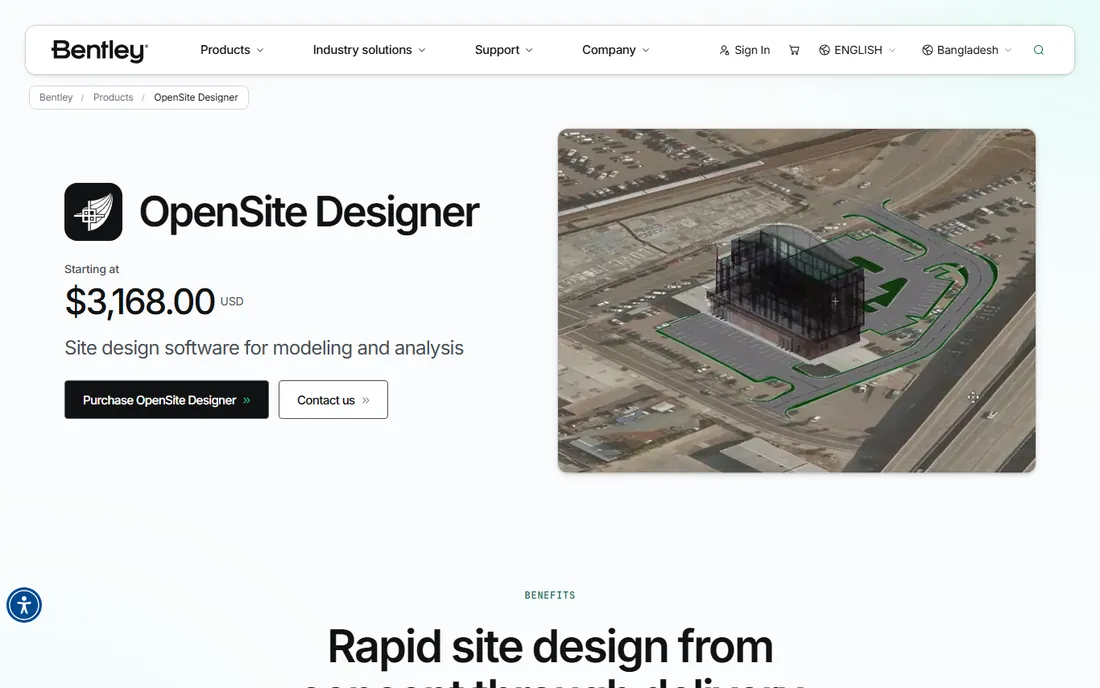
Bentley folded its SITEOPS optimization technology directly into OpenSite Designer, so one application now covers feasibility sketches, parking and building layout, earthwork grading, ponds, stormwater and sanitary networks, subsurface utilities, and construction documentation. The standout capability is automated earthwork grading optimization, which evaluates grading scenarios against construction cost instead of leaving you to iterate manually. For developers who need quick feasibility answers, Bentley advertises concept-level budgets in hours and risk assessments in 48 hours.
Pricing is refreshingly direct: $3,168 per year for a 12-month Virtuoso subscription that includes one license plus two Keys redeemable for training or services. That is a meaningful difference from competitors that hide behind quote forms. The tradeoff is that you are buying into the Bentley ecosystem, and the system requirements assume a serious workstation.
What we like- Includes the SITEOPS site optimization engine for grading and earthwork scenarios
- Published flat pricing
- Reality mesh and 3D PDF support
Watch out for- Hardware demands are real: 16 GB RAM minimum, 32 GB recommended, and a 64-bit Windows machine

#3
Carlson Civil Suite
Best for: Survey and civil shops that want design, survey, hydrology, and GIS in one bundle
Visit carlsonsw.com
Starting priceSee website
Free planNo
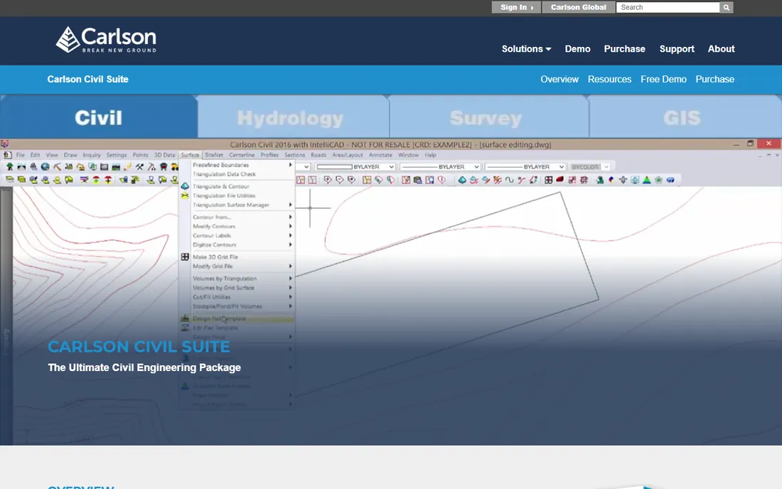
Carlson has been building survey and civil software since 1983, and the Civil Suite is its answer to firms that do both field and office work. You get road and site design, survey processing with least-squares network adjustment, hydrologic and hydraulic analysis with pond design and storm drain drafting, and GIS tools, all working in plain DWG files. Because Carlson avoids custom objects, drawings open cleanly for anyone with CAD, which simplifies handoffs to clients and agencies.
The bundle is the selling point and the complication. Carlson sells perpetual licenses with an optional annual maintenance program rather than straightforward monthly subscriptions, which can be cheaper over a five-year horizon but makes apples-to-apples price comparison harder. There is no published price list on the product page, so expect a quote process. Support is a genuine strength: Carlson lists a direct phone number and says factory technical support is free regardless of maintenance status.
What we like- Four modules in one bundle: Carlson Civil, Survey, Hydrology, and GIS
- Works natively in DWG, DXF, and DGN with no custom objects
Watch out for- No public pricing, so budgeting requires a call
- Smaller ecosystem than Autodesk or Bentley

#4
Trimble Business Center
Best for: Firms that live on survey data, from GNSS and total stations to drones and scanners
Visit geospatial.trimble.com
Starting priceSee website
Free planNo (demo available on request)
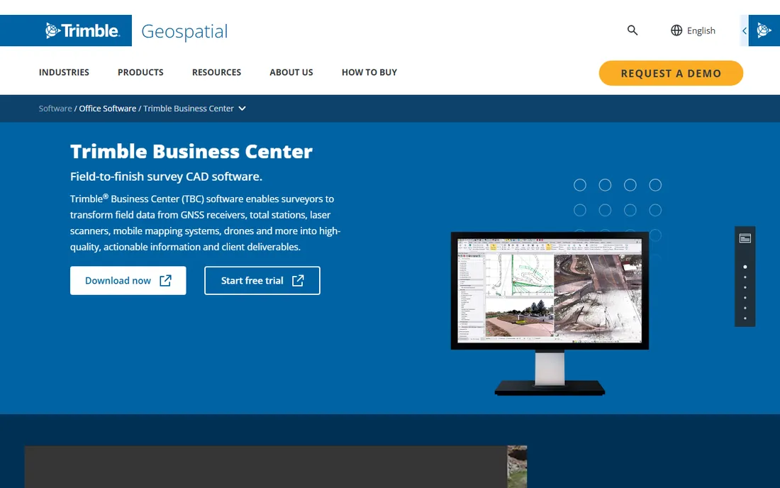
Trimble Business Center is where field data becomes deliverables. It processes GNSS baselines, adjusts survey networks, classifies point clouds, builds dynamic surfaces, and produces corridors, cross sections, and staking data. If your development workflow starts with a drone flight or a total station traverse, TBC is the bridge between that raw data and the design model, with direct publishing to Trimble Connect for web-based review.
The honest weakness is that TBC is priced like enterprise survey software: no public pricing, modular editions, and a sales conversation to get numbers. It also assumes you are comfortable in the Trimble hardware ecosystem, though it does exchange data with Esri, Autodesk, and Bentley products. For a land development firm that already flies drones or runs Trimble rovers, it is the natural office companion. For everyone else, it is overkill.
What we like- Industry-leading GNSS baseline processing and point cloud tools
- Clean handoffs to CAD and GIS packages
- Trimble Connect cloud collaboration
Watch out for- Pricing is quote-based and the product line is modular, so the final cost depends on which editions you need

#5
BricsCAD Pro
Best for: Teams that need DWG-compatible CAD at a fraction of Autodesk prices
Visit bricsys.com
Starting price$780 per year (Pro)
Free planNo (30-day free trial)
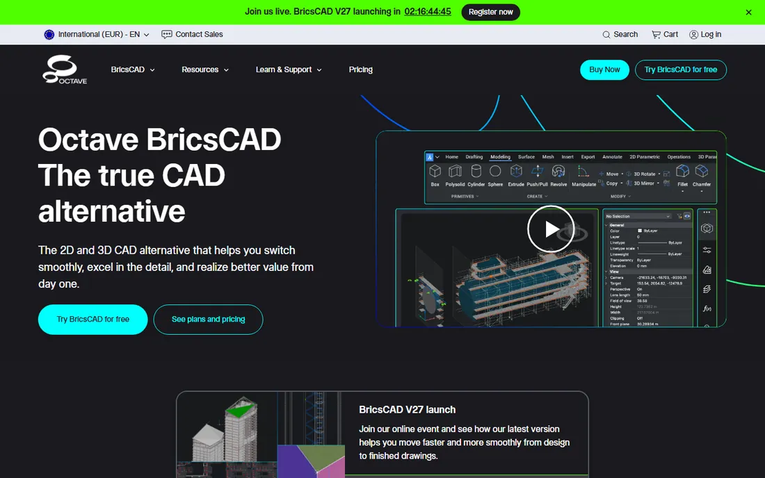
BricsCAD Pro is the most credible low-cost alternative to AutoCAD-family products, and Bricsys publishes its pricing openly: $780 per year for Pro, with Lite at $345 for pure 2D work. It reads and writes DWG natively, runs LISP routines, and behaves enough like the CAD your staff already knows that most drafters are productive within days. The 30-day free trial is genuinely useful for testing real project files.
For land development specifically, know what you are getting. BricsCAD Pro is a general CAD platform, not a civil design suite; grading, corridors, and pipe networks arrive via third-party applications. If you need corridor modeling and dynamic surfaces out of the box, budget for the add-ons or look at Civil 3D or Carlson instead.
What we like- Native DWG compatibility at roughly a third of the cost of flagship CAD
- Runs on Windows, Mac, and Linux
- Familiar commands shorten the learning curve
Watch out for- Civil-specific tools come through partner add-ons like Civil Site Design, which cost extra

#6
SketchUp Pro
Best for: Fast 3D concept models and visuals that win over clients and planning boards
Visit sketchup.com
Starting price$399 per year (Pro, billed annually)
Free planNo (free web version for personal, non-commercial use only)
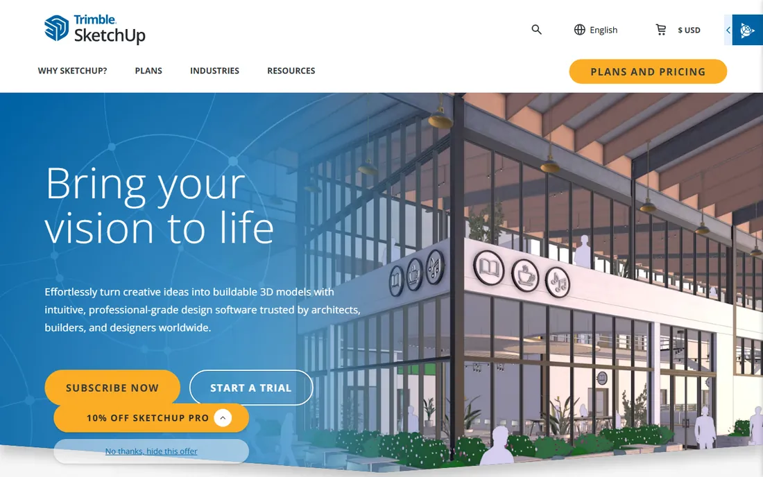
SketchUp Pro earns its place in land development at the front end of a project. Massing studies, site layout options, and viewshed visuals that would take days in CAD take hours here, and planning commissioners understand a 3D model instantly in a way they never will a grading plan. Trimble's pricing is public: Go at $129 per year for web and iPad, Pro at $399 per year adding the desktop modeler and LayOut, and Studio at $859 per year adding V-Ray rendering and point cloud tools.
Do not confuse speed with engineering. SketchUp will not compute cut and fill, size a detention pond, or produce construction documents an agency will accept. Use it to sell the vision and test layouts, then hand off to Civil 3D, OpenSite, or Carlson for the real design.
What we like- The fastest path from idea to a presentable 3D site model
- Huge extension and 3D Warehouse libraries
- LayOut produces clean 2D presentation drawings
Watch out for- Not an engineering tool: no grading calculations, no pipe networks, no survey adjustment

#7
HEC-RAS
Best for: Floodplain analysis, river hydraulics, and any project near regulated waterways
Visit hec.usace.army.mil
Starting priceFree
Free planYes, fully free
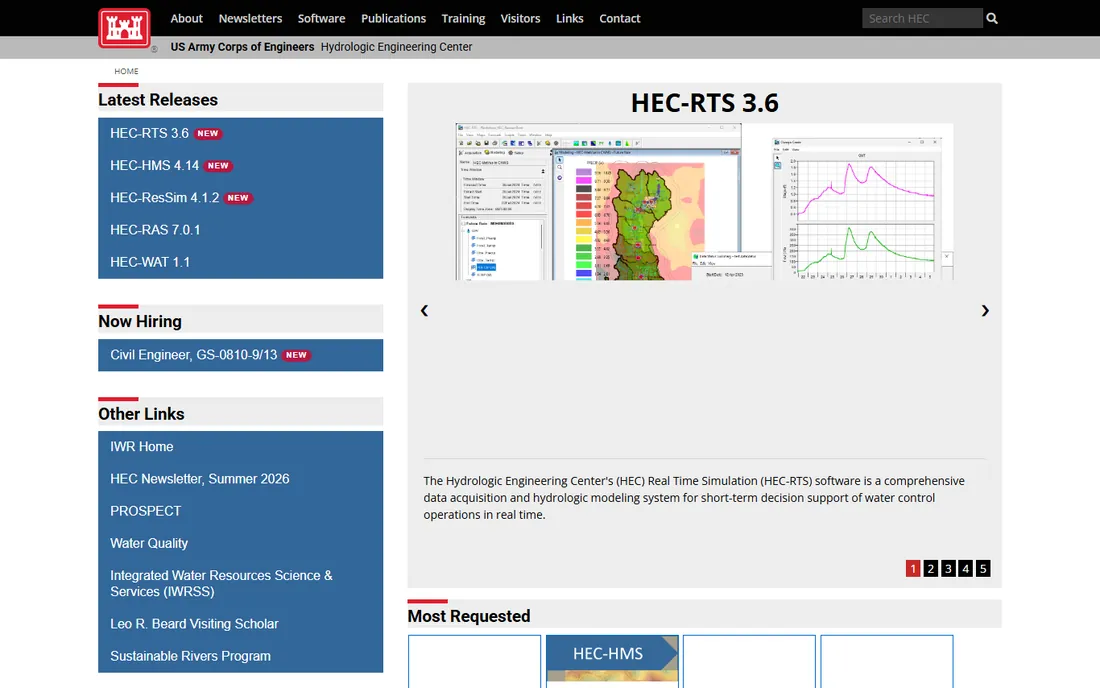
HEC-RAS is the rare case where the free tool is also the industry standard. Built by the US Army Corps of Engineers' Hydrologic Engineering Center, it models steady and unsteady river flow in one and two dimensions, plus sediment transport and water quality. When a floodplain permit or a FEMA map revision is on the line, this is the program reviewers expect to see. The Corps also publishes RAS 2025, a ground-up rebuild with a modern interface, currently in alpha alongside the established 6.x line.
There is no official support channel for private-sector users, so you are relying on documentation, training courses, and the user community. The modeling itself demands real hydraulic judgment; bad input produces confident-looking bad output. But for any land development touching a floodplain, learning HEC-RAS pays for itself the first time you avoid outsourcing a study.
What we like- Free, and the standard that FEMA and floodplain regulators accept
- 1D and 2D unsteady flow, sediment transport, and water quality modeling
Watch out for- No official technical support for non-USACE users
- The interface shows its age and the learning curve is steep

#8
Bluebeam Revu
Best for: Plan review, markups, quantity takeoffs, and submittal workflows
Visit bluebeam.com
Starting price$260 per user per year (Basics)
Free planNo (30-day free trial)
Bluebeam Revu is where land development plans go to get reviewed, redlined, and approved. Every plan set your engineers produce will pass through someone's markup session, and Revu's measurement tools handle length, area, perimeter, counts, and volumes directly on the PDF. Studio Sessions let the developer, engineer, and agency reviewer mark up the same set simultaneously instead of emailing PDFs back and forth for weeks.
Pricing is public and per user per year: Basics at $260, Core at $330, Complete at $440, and the AI-assisted Max tier at $590 introductory. The weakness is platform: the full Revu desktop experience is Windows, with web and mobile covering the rest. Budget per reviewer, and remember that collaborators can join Studio Sessions from a browser without a license.
What we like- The markup and measurement toolset that plan reviewers actually standardize on
- Studio Sessions for real-time multi-party review
- Bluebeam University training included
Watch out for- Revu desktop is Windows-centric
- Per-user annual pricing adds up fast on large review teams

#9
Land id
Best for: Parcel research, site feasibility, and due diligence before you spend on engineering
Visit id.land
Starting price$7 per user per month (billed annually)
Free planNo (7-day free trial, no credit card required)
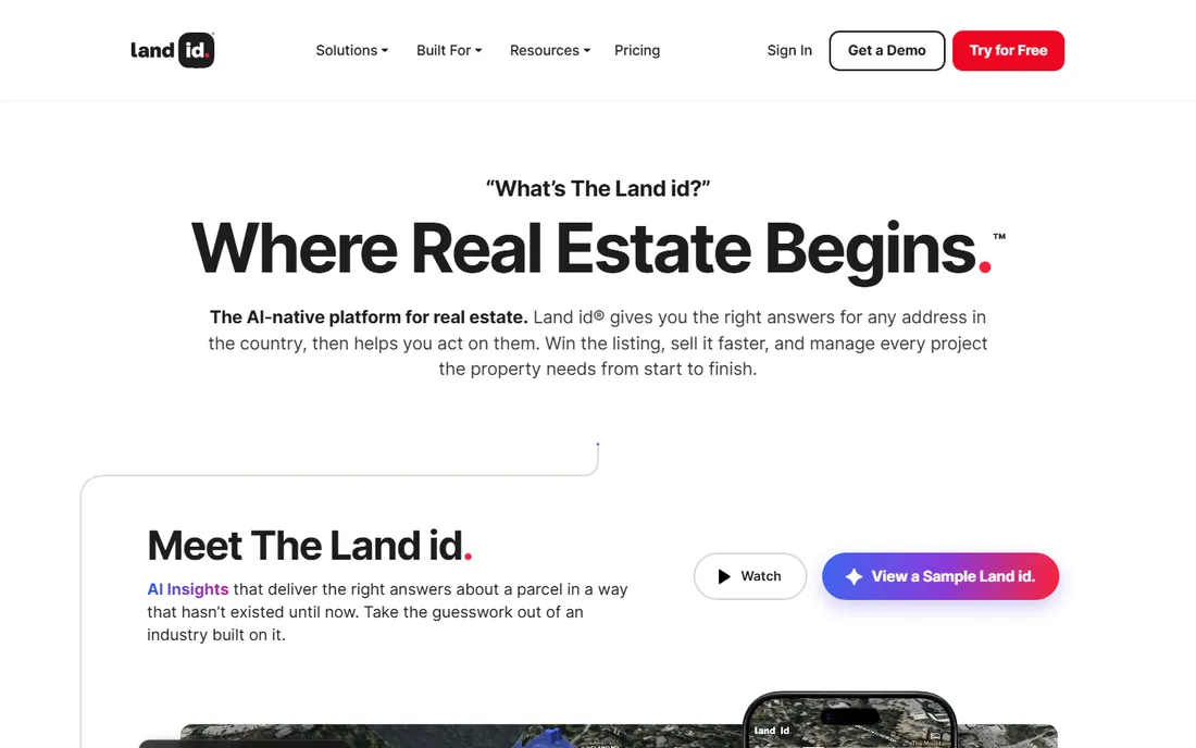
Land id is the first tool to open when a parcel hits your desk. It layers parcel boundaries, ownership, assessed values, sales history, soil reports, 2-foot contours, flood zones, and 40-plus other data layers over high-resolution aerials for any property in all 50 states. For feasibility work, the ability to check buildable area constraints, overlay a survey or plat, and sketch concept boundaries before paying an engineer is worth far more than the subscription. Pricing starts at $7 per user per month billed annually for property research, with Premium mapping at $12 and Pro tiers at $33.33 or $66.67.
The honest limitation is scope: Land id tells you what the land is, not what to build on it. Owner contact data and mailing lists carry additional fees. For developers screening dozens of parcels a month, though, it is the cheapest way to kill bad deals early.
What we like- Nationwide parcel boundaries, owner info, soils, contours, and flood data in one map
- Formerly MapRight, with a long track record
- CarPlay integration for field scouting
Watch out for- It is a research and mapping tool, not a design tool
- Mailing lists and some services cost extra

#10
Autodesk InfoDrainage
Best for: Stormwater and sanitary sewer design with approval-ready reporting
Visit autodesk.com
Starting priceSee website
Free planNo
InfoDrainage exists because drainage design in a general CAD package is painful. It designs and analyzes stormwater and sanitary networks with automated calculations, then generates the clear, standards-based reports that approving authorities want to see. The two-way exchange with Civil 3D means pipe networks, catchments, and surfaces stay coordinated instead of being redrawn in each program. It also covers sustainable drainage systems and green infrastructure, which increasingly show up in local regulations.
The catch is pricing opacity: Autodesk does not publish a standalone subscription price, and the product is commonly obtained through the AEC Collection, so you will be talking to sales. It runs on Windows only, and its value drops if your team is not already in the Autodesk ecosystem. For firms doing regular subdivision or commercial site work under strict stormwater rules, it earns its keep in approval speed alone.
What we like- Purpose-built drainage design with automated, regulation-ready reports
- Two-way data exchange with Civil 3D
- Handles SuDS and green infrastructure
Watch out for- No published standalone price
- Windows only
- Most valuable if you already use Civil 3D
Quick comparison
| Tool | Best for | Starting price | Free plan |
|---|
| AutoCAD Civil 3D | Full-scale civil engineering design, from grading to corridors to pipe networks | See website | No (free trial available; free for eligible students and educators) |
| Bentley OpenSite Designer | Site design teams that want concept-through-construction in one application | $3,168 per year (12-month Virtuoso subscription) | No (free academic access for students and educators) |
| Carlson Civil Suite | Survey and civil shops that want design, survey, hydrology, and GIS in one bundle | See website | No |
| Trimble Business Center | Firms that live on survey data, from GNSS and total stations to drones and scanners | See website | No (demo available on request) |
| BricsCAD Pro | Teams that need DWG-compatible CAD at a fraction of Autodesk prices | $780 per year (Pro) | No (30-day free trial) |
| SketchUp Pro | Fast 3D concept models and visuals that win over clients and planning boards | $399 per year (Pro, billed annually) | No (free web version for personal, non-commercial use only) |
| HEC-RAS | Floodplain analysis, river hydraulics, and any project near regulated waterways | Free | Yes, fully free |
| Bluebeam Revu | Plan review, markups, quantity takeoffs, and submittal workflows | $260 per user per year (Basics) | No (30-day free trial) |
| Land id | Parcel research, site feasibility, and due diligence before you spend on engineering | $7 per user per month (billed annually) | No (7-day free trial, no credit card required) |
| Autodesk InfoDrainage | Stormwater and sanitary sewer design with approval-ready reporting | See website | No |
Is your product missing or out of date?
We review this list regularly. Vendors can request a listing, send updated pricing or ask about featured placement.
How to pick land development software without overbuying
Match the tool to the project phase, not to the vendor's pitch. Feasibility and due diligence belong to mapping and research tools like Land id and the free layers in HEC-RAS. Concept design and client presentations belong to SketchUp Pro and SITEOPS-style optimization in OpenSite Designer. Detailed engineering belongs to Civil 3D, Carlson, or OpenSite. Construction documentation and review belong to Bluebeam. Buying one heavyweight platform to cover all five phases usually means overpaying for three of them.
Count the true cost per seat
Published prices are starting points. Bentley's $3,168 per year is admirably transparent, but confirm what the included training Keys cover and what additional training costs. Autodesk and Trimble price per named user, so a team of six engineers is six subscriptions. Bluebeam's per-user tiers mean reviewers who only need markups should be on Basics at $260, not Complete at $440. Ask every vendor three questions: what is the renewal price after year one, what does support cost, and which features require paid add-ons.
Check file formats before you commit
Land development is a handoff business. Your surveyor's points become your engineer's surface, which becomes the agency's plan set. Confirm DWG, DGN, LandXML, and IFC compatibility in both directions, and test a round trip with a real project file during the trial period. Carlson's no-custom-objects approach and BricsCAD's native DWG support exist precisely because broken handoffs cost more than licenses.
Verify training and support honestly
A powerful tool your team cannot operate is an expensive paperweight. Bluebeam includes Bluebeam University courses with every subscription. Bentley bundles training Keys into the Virtuoso subscription. Carlson offers free factory phone support. Autodesk leans on its reseller and partner network. Ask for the onboarding timeline in writing, and talk to two current users of similar firm size before signing a multi-year deal.
Where the costs hide in land development software
The license fee is the most visible cost and rarely the largest. Workstations are first: OpenSite Designer wants 32 GB of RAM, point cloud work in TBC wants fast storage and a strong GPU, and HEC-RAS 2D models will punish an old laptop. Budget the hardware alongside the software, especially if you are hiring or refreshing machines.
Training is second. A week of lost billable time per engineer dwarfs a $780 BricsCAD subscription, and complex tools like Civil 3D or OpenSite realistically need structured onboarding. Use the trial period as a training test, not just a feature test.
Third are the add-ons and data. Civil-focused partner applications for BricsCAD, extra data layers or mailing lists in Land id, and maintenance renewals on Carlson's perpetual licenses all sit outside the headline price. Finally, watch renewal terms: introductory prices like Bluebeam Max at $590 lock only through the 2027 renewal, and Autodesk's prices change without notice. Put renewal caps or at least renewal notice periods in writing where you can.
How we chose
We started from vendor pricing pages, product documentation, and published feature lists, then checked how each tool is actually used through public reviews on G2, Capterra, and Reddit threads from working engineers and surveyors. We compared integrations, supported file formats, and hardware requirements, and we weighed fit for different company sizes, from solo developers screening parcels to multi-discipline engineering firms. We did not claim hands-on testing of any product; every price and plan detail comes from the vendor's own site, and anything we could not verify on a vendor page is listed as "See website."
Frequently asked questions
What is the best land development software for a small firm?
For most small firms, the practical stack is Land id for parcel research, SketchUp Pro for concept visuals, BricsCAD Pro or Carlson Civil Suite for design and drafting, and Bluebeam Revu Core for plan review. That combination covers feasibility through approvals for a fraction of a Civil 3D plus OpenSite budget. Add HEC-RAS at no cost if floodplain work comes up.
Is there free land development software?
Yes, with limits. HEC-RAS is completely free and is the accepted standard for floodplain and river modeling. SketchUp offers a free web version for personal, non-commercial use. Most commercial tools in this space offer free trials rather than free plans, typically 7 to 30 days, which is enough to test real project files.
Do I need Civil 3D for land development?
Not necessarily. Civil 3D is the industry default and the safest choice for complex subdivisions, corridors, and agency submittals. But Carlson Civil Suite, Bentley OpenSite Designer, and BricsCAD Pro with civil add-ons all produce legitimate construction documents. Choose based on your project types, your staff's existing skills, and what your reviewing agencies accept.
What software do developers use for site feasibility?
Developers screening sites typically start with parcel mapping tools like Land id for boundaries, ownership, soils, contours, and flood data, then move to concept tools like SketchUp Pro or OpenSite Designer's SITEOPS optimization for layout and earthwork scenarios. Full engineering software comes later, once a parcel survives the feasibility cut.
How much does land development software cost?
Expect $260 to $3,168 per user per year for the tools with published pricing: Bluebeam Basics at $260, BricsCAD Pro at $780, SketchUp Pro at $399, Land id from $7 per user per month, and OpenSite Designer at $3,168. Enterprise civil platforms from Autodesk, Trimble, and Carlson are quote-based. HEC-RAS is free.
Can Mac users run land development software?
Mostly no for the heavy engineering tools. Civil 3D, OpenSite Designer, InfoDrainage, and HEC-RAS are Windows programs. BricsCAD Pro and SketchUp Pro both run on Mac, and Bluebeam and Land id offer web and mobile access. Firms on Macs typically run Windows in a virtual machine or keep a Windows workstation for engineering work.
Sources we checked (17)
- https://www.autodesk.com/products/civil-3d/overview
- https://www.bentley.com/en/products/opensite-designer/
- https://www.carlsonsw.com/product/civil-suite
- https://geospatial.trimble.com/products-and-solutions/trimble-business-center
- https://bricsys.com/
- https://sketchup.trimble.com/en/plans-and-pricing
- https://sketchup.com/
- https://www.hec.usace.army.mil
- https://bluebeam.com/
- https://www.bluebeam.com/pricing/
- https://id.land/
- https://id.land/pricing
- https://www.autodesk.com/products/infodrainage/overview
- https://slashdot.org/software/p/Carlson-Civil/
- https://igage.com/cad/cMaintenence.htm
- https://www.inman.com/2026/09/04/land-id-carplay/
- https://americas-engineers.com/usace-releases-ras-2025-future-hydraulic-modeling/
Is your product missing or out of date?
We review this list regularly. Vendors can request a listing, send updated pricing or ask about featured placement.

Shihab Mia · Founder, Rankite
Shihab has spent more than a decade helping SaaS and e-commerce brands grow through search. He writes Rankite's software buying guides from pricing pages, documentation and public user reviews. More about Shihab.